© North Lake Garda Trentino - Archivio Garda Trentino

- Scurtă descriere
-
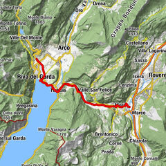
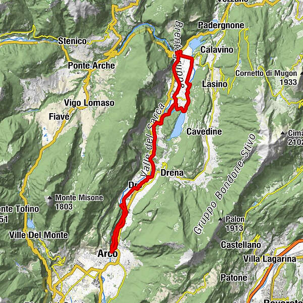
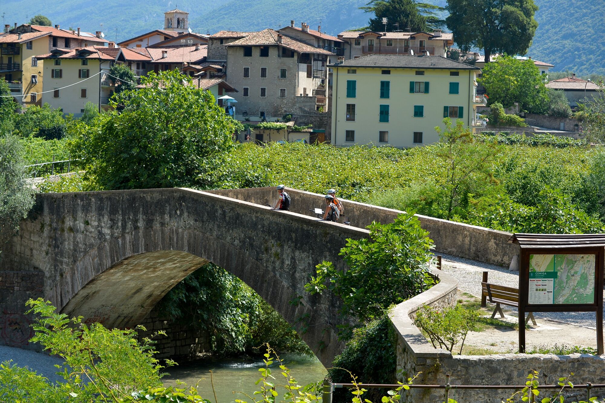
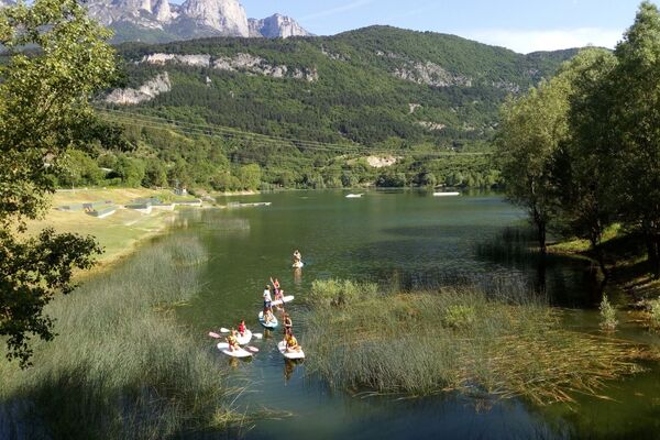
A route which is almost entirely on the cycle path along the banks of the River Sarca, one of the best-loved in Trentino and busy all year round.
- Greutăţi
-
mediu
- Evaluare
-
- Ruta
-
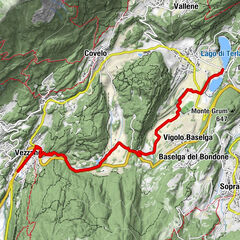
Chiesa di San Giuseppe0,0 kmArco0,0 kmMogno0,1 kmSan Martino0,7 kmPrabi0,9 kmMoletta1,3 kmCeniga3,8 kmDro5,2 kmLago8,7 kmMonte Taglio di Sarca11,6 kmPietramurata14,0 kmMaso del Gobbo15,9 kmHosteria Toblino18,0 kmSarche18,0 kmPonte Oliveti19,0 kmPergolese20,9 kmPietramurata24,4 kmMonte Taglio di Sarca26,3 kmLago29,3 kmDro32,7 kmCeniga34,0 kmLa Lanterna35,8 kmSeesons37,1 kmParco giochi Ristorante California37,2 kmPrabi37,3 kmSan Martino37,4 kmChiesa di Sant'Apollinare37,5 kmMogno37,9 kmArco38,1 kmChiesa di San Giuseppe38,1 km
- Cel mai bun sezon
-
ianfebmaraprmaiiuniulaugsepoctnovdec
- Cel mai înalt punct
- 272 m
- Destinație
-
Parking place a the bridge - Arco
- Profil de elevație
-
 © outdooractive.com
-
-
AutorTurul 4.2 North on the Sarca cycle path: from Arco to Sarche este utilizat de outdooractive.com furnizat.
GPS Downloads


Informaţii generale
Oprire pentru băuturi răcoritoare
Promițător
Mai multe tururi în regiuni
")

")