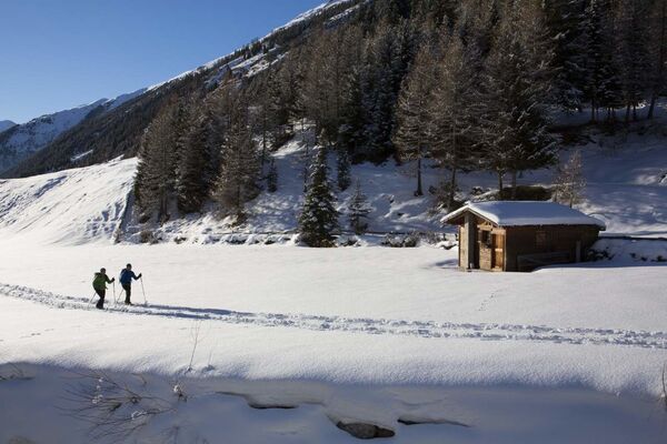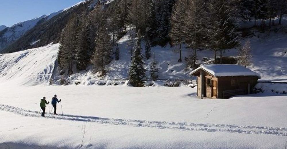


- Scurtă descriere
-
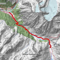
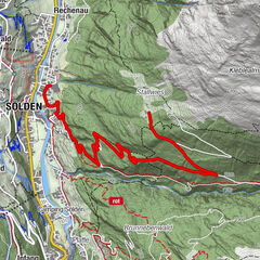
CAR PARK SENNHOF (next to the information Niederthai)->Hotel Falknerhof->Grastal Trail->Larstigalm->Horlachtal Trail->CAR PARK SENNHOF
- Greutăţi
-
uşor
- Evaluare
-
- Ruta
-
Sennhof0,0 kmNiederthai0,1 kmEnnebach0,2 kmGrasstallfeld2,3 kmSchutzengelkapelle5,8 kmNiederthai6,8 kmSennhof6,8 km
- Cel mai bun sezon
-
augsepoctnovdecianfebmaraprmaiiuniul
- Cel mai înalt punct
- 1.771 m
- Destinație
-
Car park Sennhof
- Profil de elevație
-


- Autor
-
Turul Horlachtal Loop Hiking Trail - Umhausen-Niederthai este utilizat de outdooractive.com furnizat.
GPS Downloads


Informaţii generale
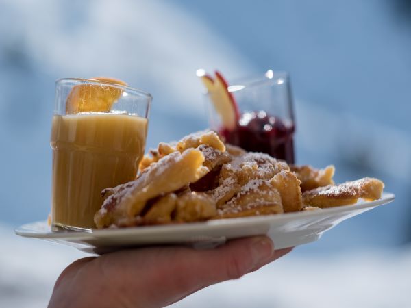
Oprire pentru băuturi răcoritoare
Promițător
Mai multe tururi în regiuni
-
Ötztal
89
-
Niederthai
53