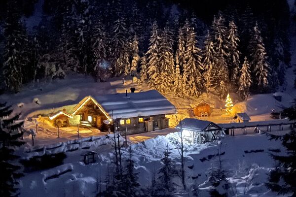
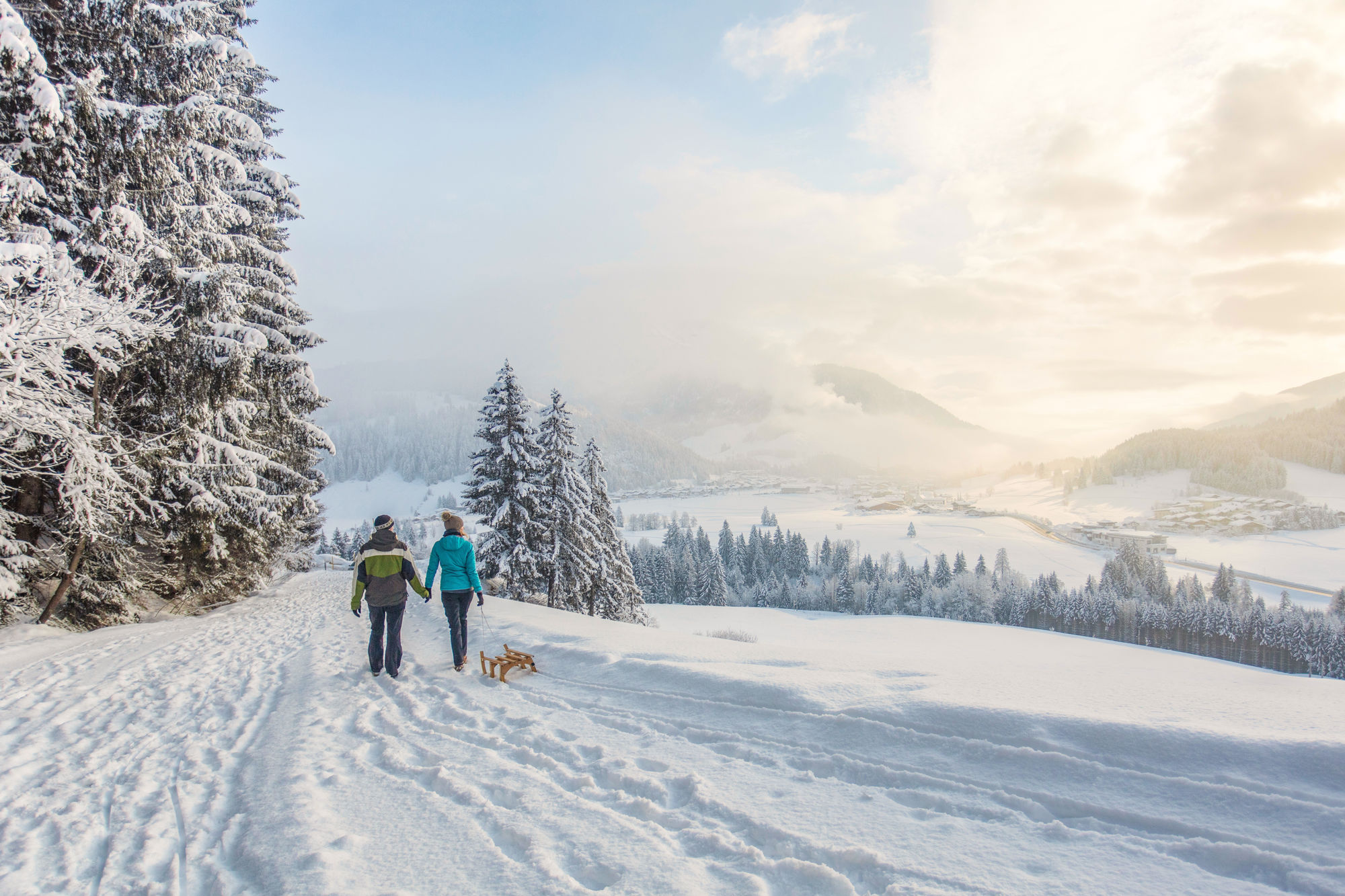
© Defrancesco
Informaţii pentru tur
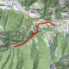
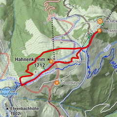
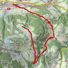
9,21km
746
- 775m
21hm
20hm
03:00h

- Greutăţi
-
uşor
- Evaluare
-
- Punct de pornire
-
Centre of Waidring
- Ruta
-
WaidringWaidring9,1 km
- Cel mai bun sezon
-
augsepoctnovdecianfebmaraprmaiiuniul
- Cel mai înalt punct
- 775 m
- Destinație
-
Centre of Waidring
- Odihnă/Retragere
-
Gasthof Strub
- Material pentru hartă
-
Hiking map are available in all touristoffice´s of the PillerseeTal
- Info telefon
-
0043.5354.56304
- Link
- https://maps.pillerseetal.at/v2/de/gdi_summer/2...
- Sursă
- TVB PillerseeTal
GPS Downloads


Mai multe tururi în regiuni
-
Pillerseetal
185
-
Waidring
37