© Outdooractive Premium - Hartmut Wimmer

© Outdooractive Premium - Hartmut Wimmer

© Outdooractive Premium - Hartmut Wimmer

© Outdooractive Premium - Hartmut Wimmer

© Outdooractive Premium - Hartmut Wimmer

© Tannheimer Tal - Michael Keller
- Scurtă descriere
-
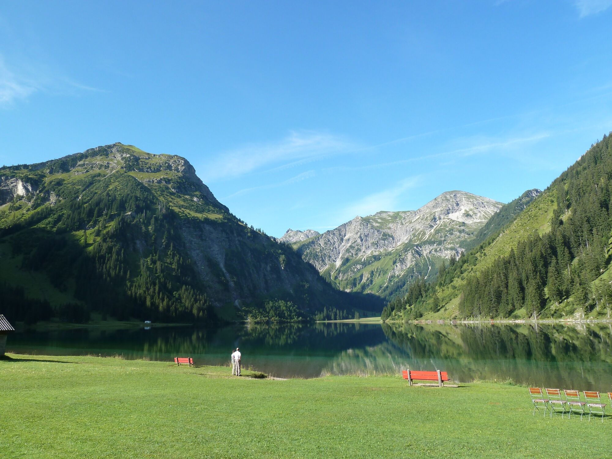
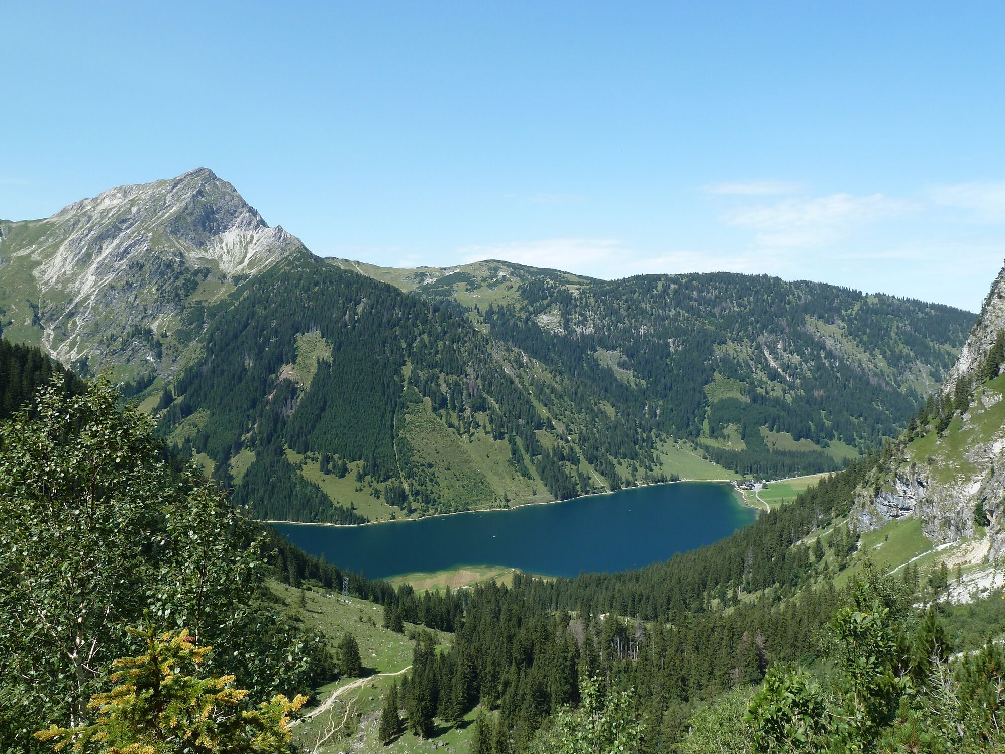
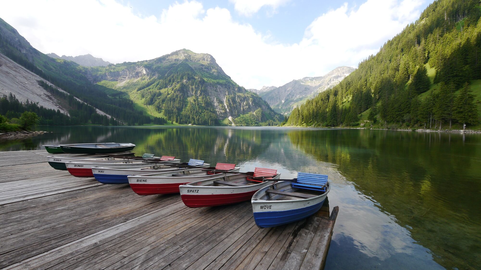
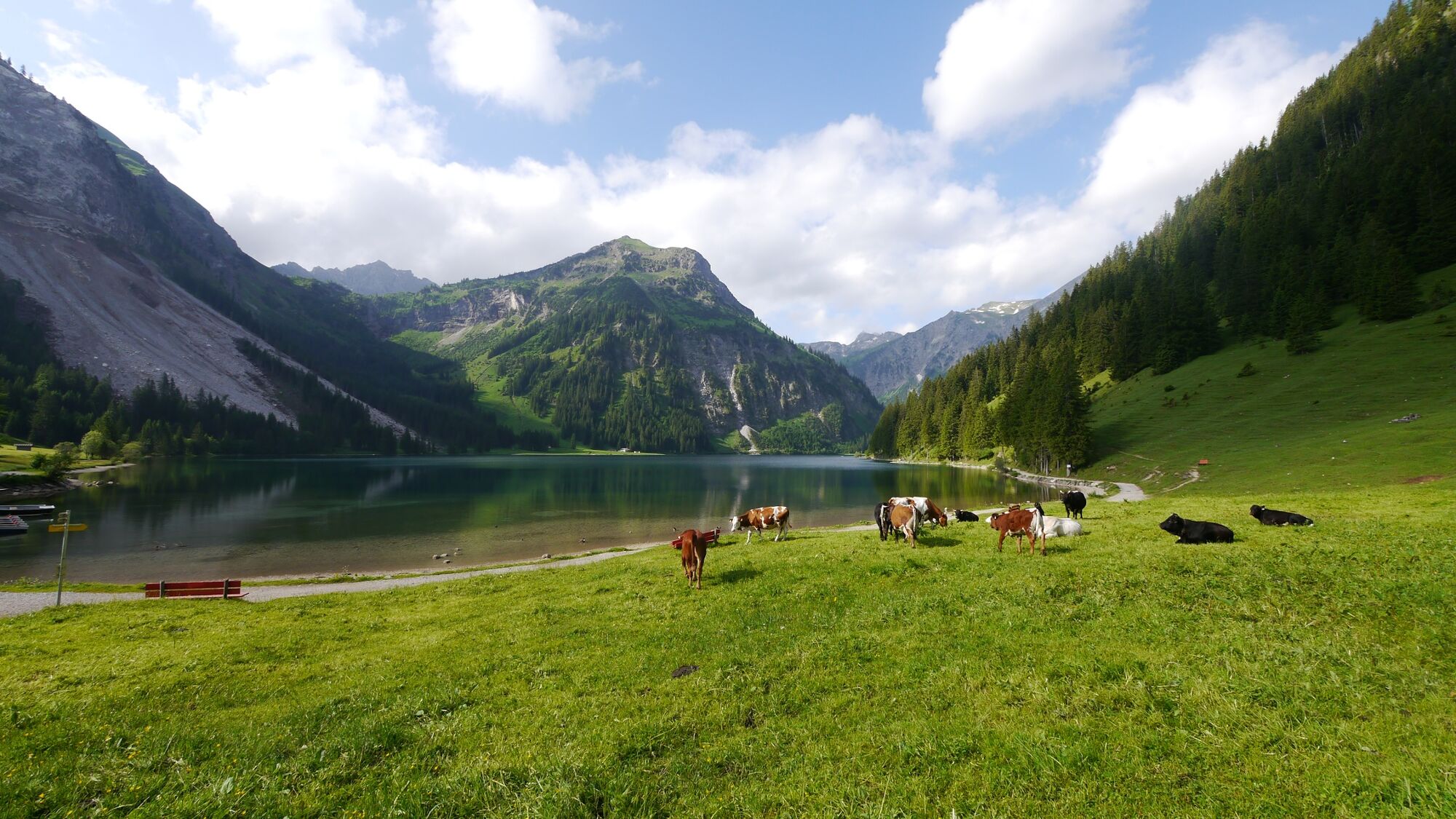
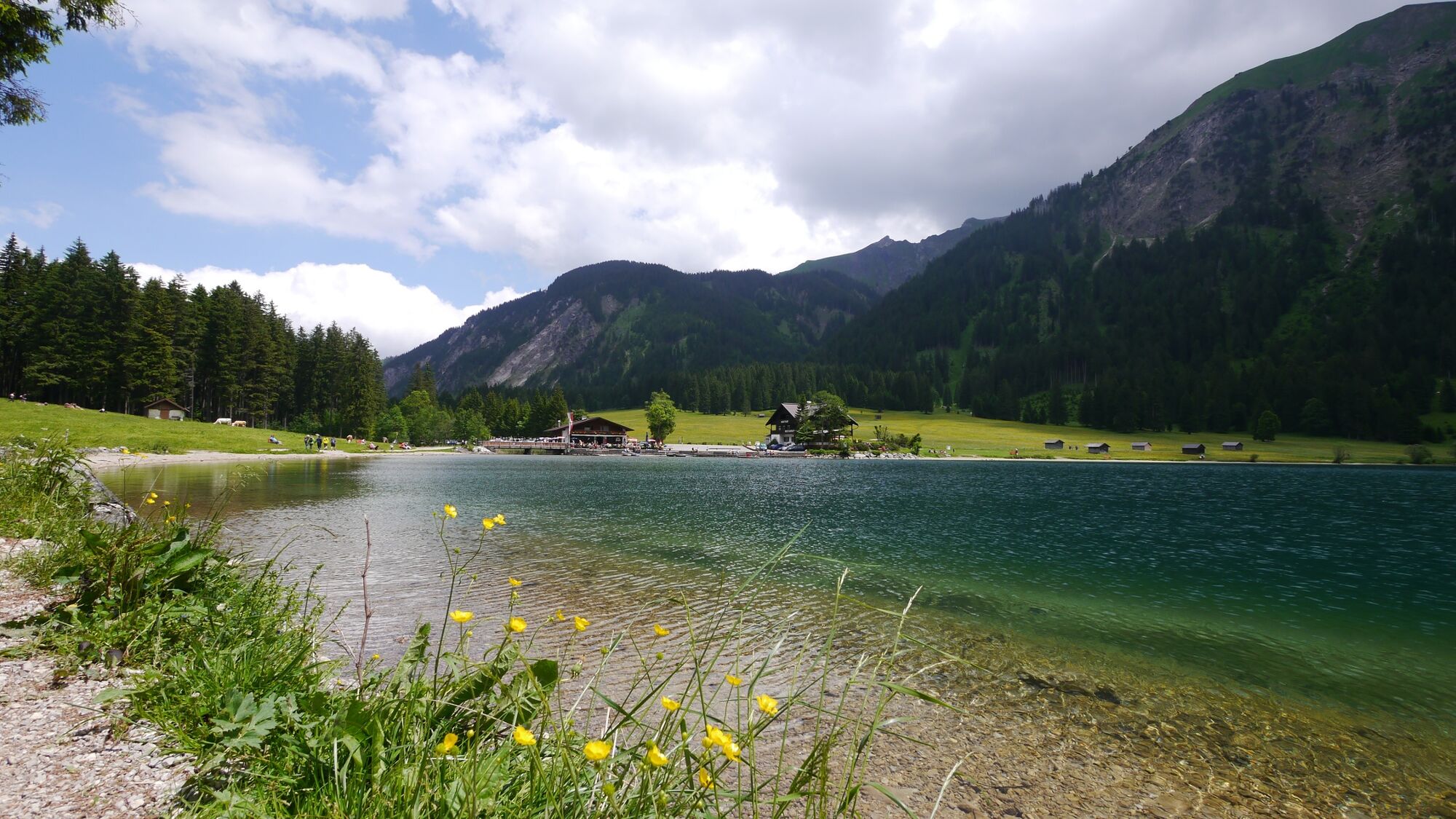
A hike to the beautiful waterfall in the nature reserve Vilsalpsee.
- Greutăţi
-
uşor
- Evaluare
-
- Ruta
-
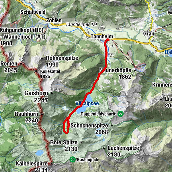
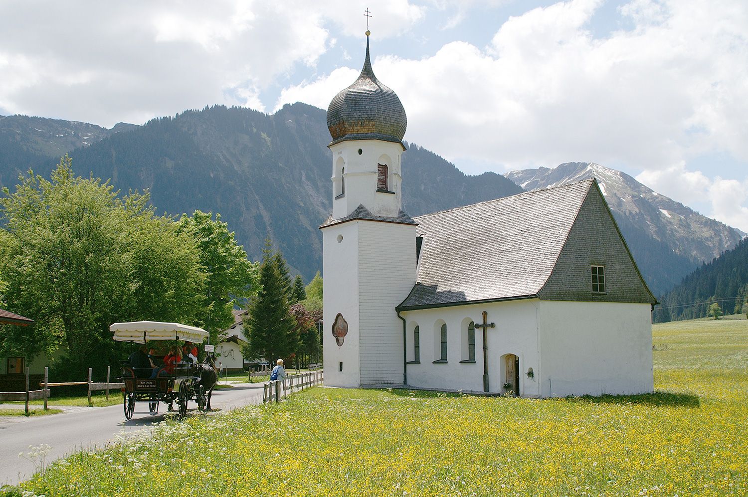
Tannheim (1.097 m)0,2 kmMariahilf-Kapelle0,4 kmBogen0,8 kmSchmieden0,9 kmHaubentaucher3,6 kmVilsalpe5,5 kmVilsalpe8,2 kmHaubentaucher10,0 kmSchmieden12,7 kmBogen12,9 kmMariahilf-Kapelle13,2 kmTannheim (1.097 m)13,4 km
- Cel mai bun sezon
-
ianfebmaraprmaiiuniulaugsepoctnovdec
- Cel mai înalt punct
- 1.256 m
- Destinație
-
Parking at the Tannheim mountain railways
- Profil de elevație
-

-

-
AutorTurul From Tannheim to Bergacht Waterfall este utilizat de outdooractive.com furnizat.
GPS Downloads


Informaţii generale
Oprire pentru băuturi răcoritoare
Sfat din interior
Flora
Fauna
Promițător
Mai multe tururi în regiuni
-
Allgäu
2357
-
Tannheimer Tal
1454
-
Tannheim
519