- Scurtă descriere
-
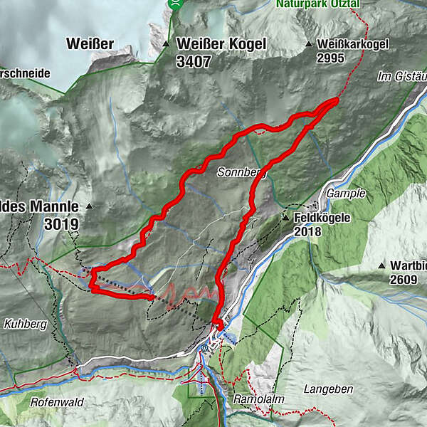
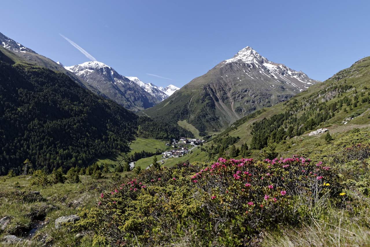
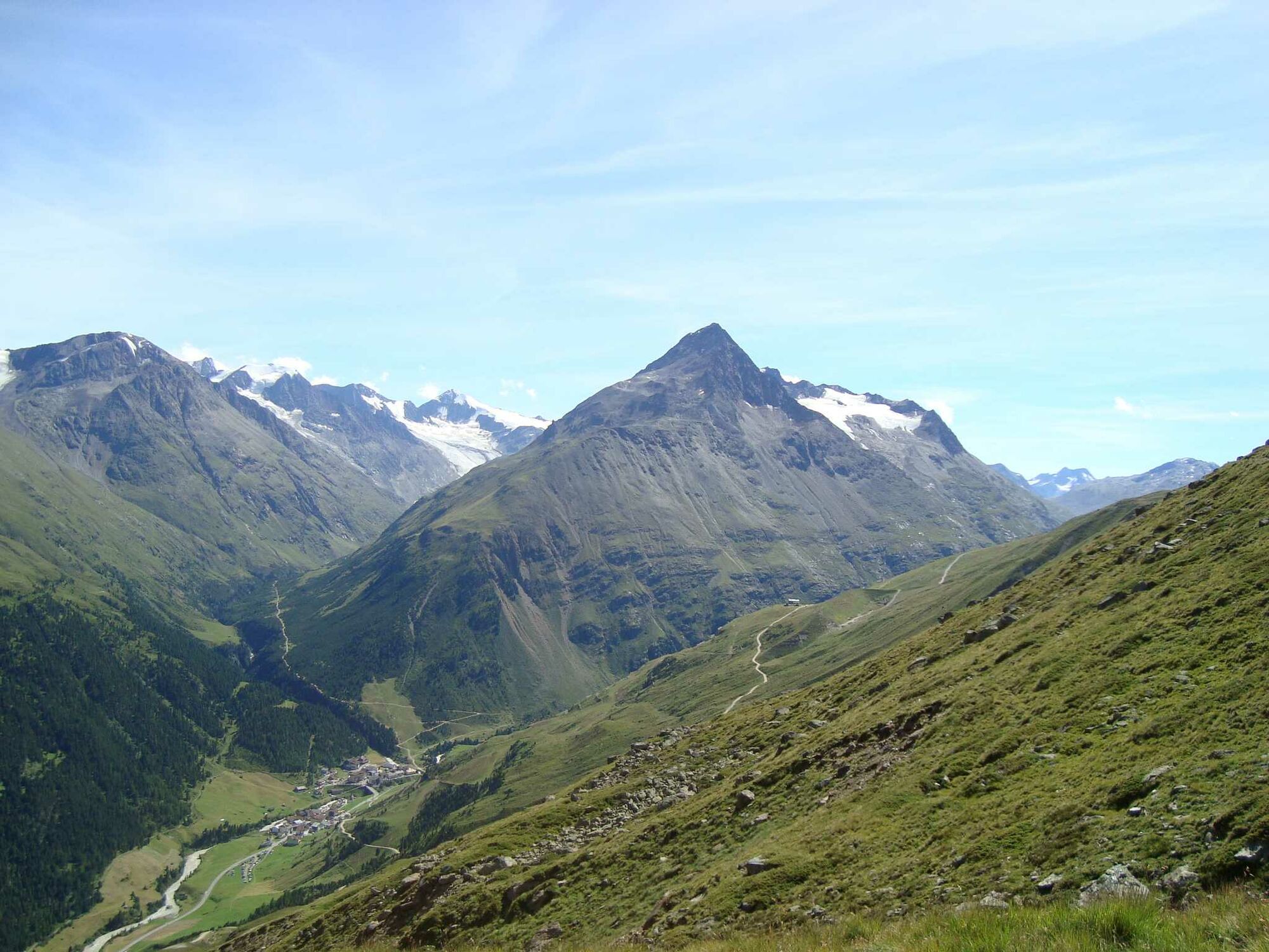
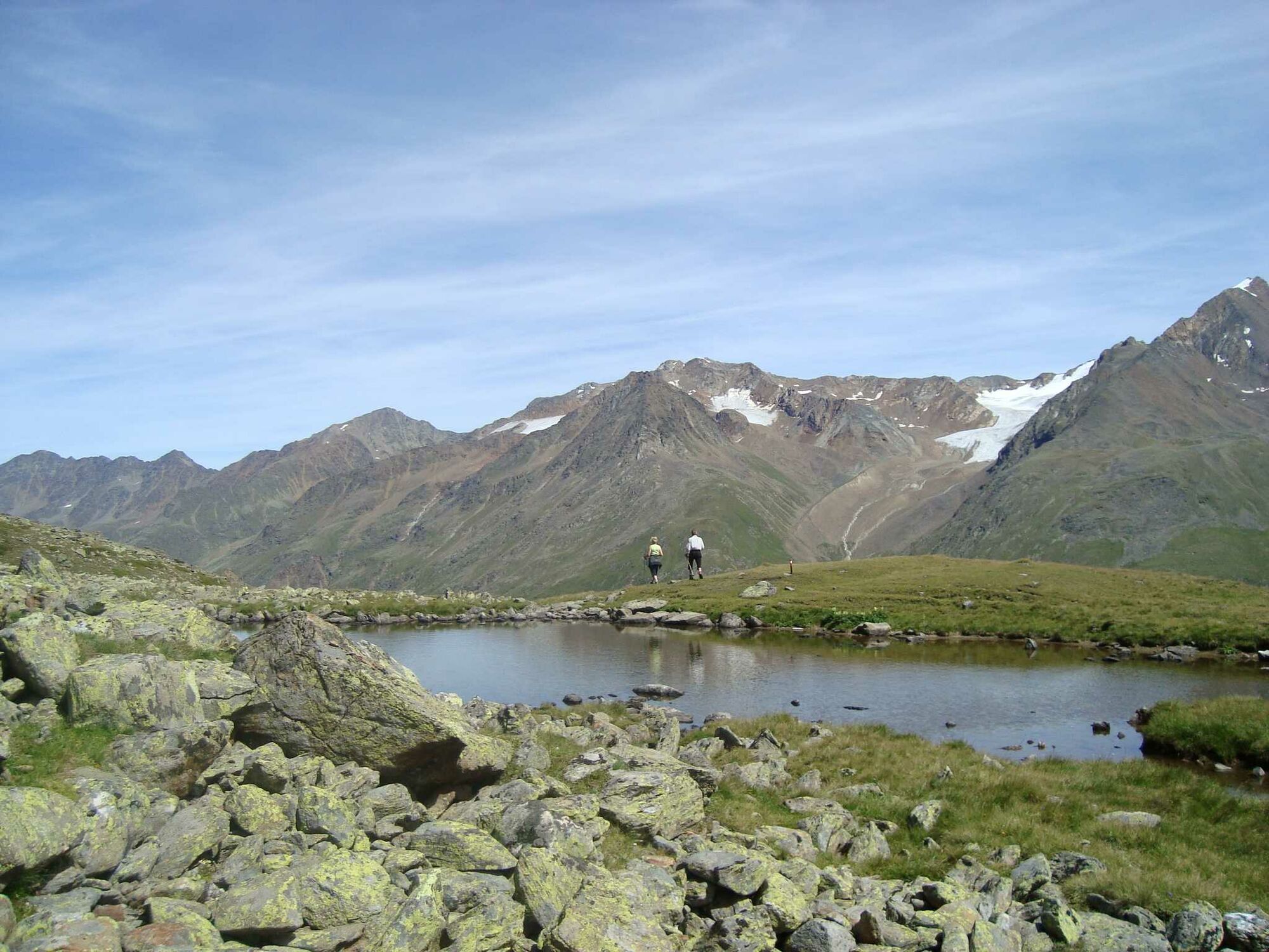
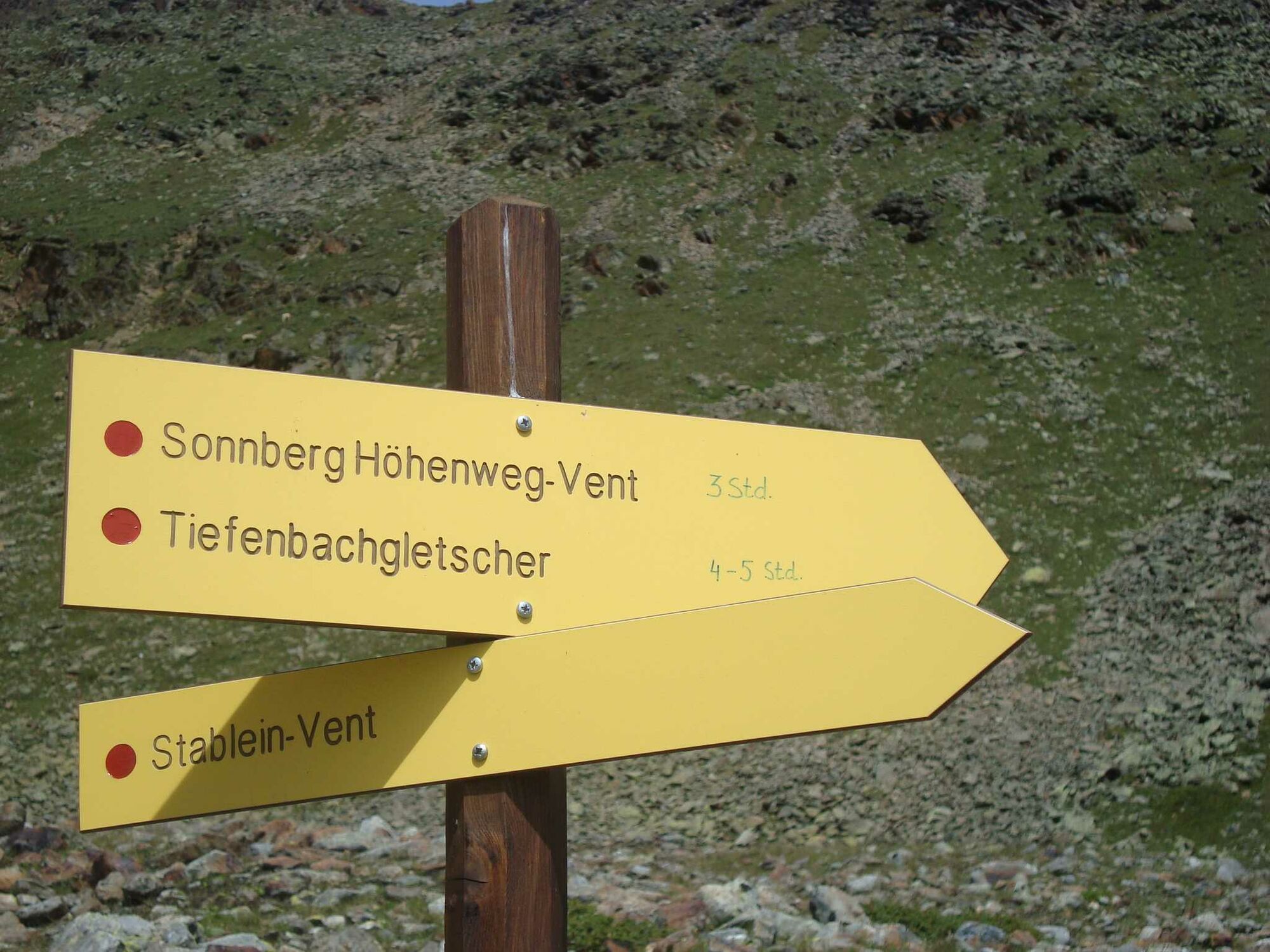
VENT -> Stableinalm -> Höhenweg Sonnberg -> VENT
- Greutăţi
-
uşor
- Evaluare
-
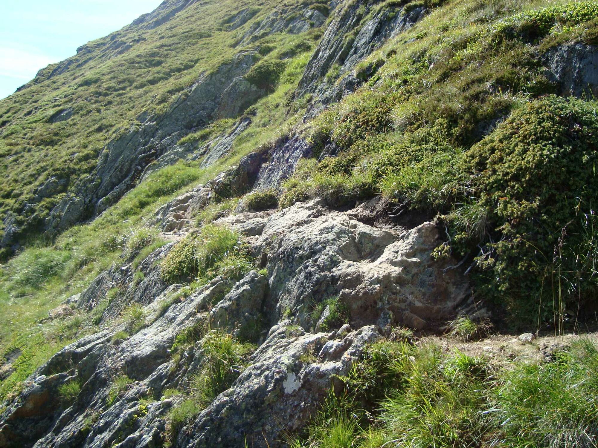
- Ruta
-
Vent9,1 km
- Cel mai bun sezon
-
ianfebmaraprmaiiuniulaugsepoctnovdec
- Cel mai înalt punct
- 2.606 m
- Destinație
-
Vent
- Profil de elevație
-

- Autor
-
Turul Höhenweg Sonnberg este utilizat de outdooractive.com furnizat.
GPS Downloads


Informaţii generale
Oprire pentru băuturi răcoritoare
Promițător
Mai multe tururi în regiuni
-
Vinschgau
1290
-
Schnalstal
595
-
Vent
293