

© Tourismusverband Region Hall-Wattens - Hall Wattens
Informaţii pentru tur
22,92km
788
- 2.700m
2.065hm
2.087hm
11:10h

- Scurtă descriere
-
The Bettelwurf - no other mountain dominates the Hall-Wattens region so dramatically as the Bettelwurf massif.
- Greutăţi
-
greu
- Evaluare
-
- Ruta
-
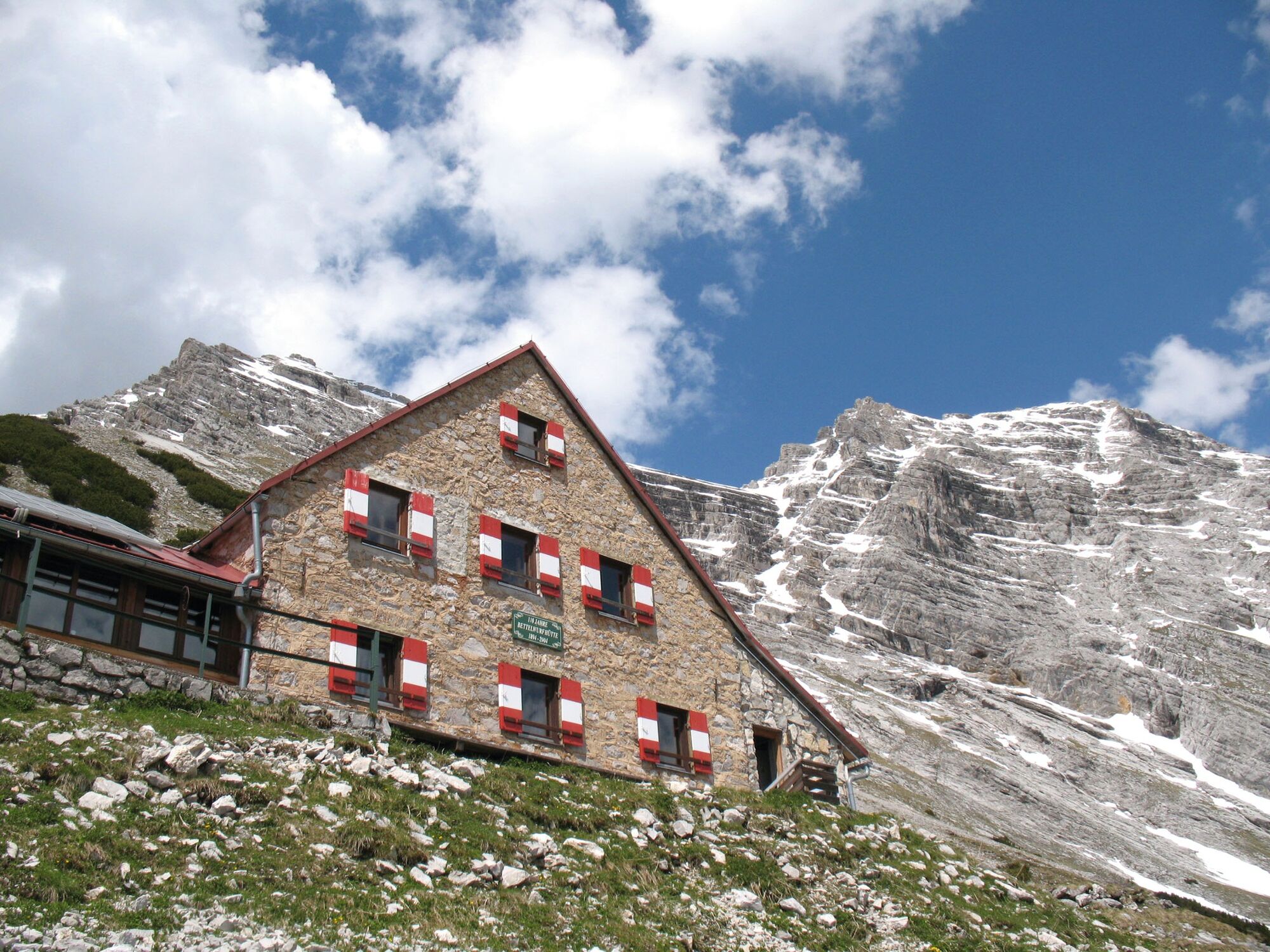
Bergerkapelle0,7 kmBettelwurfeck2,0 kmJakobibründlquelle2,1 kmKohlanger3,0 kmJausenstation St. Magdalena (1.287 m)3,3 kmErzherzogberg (1.424 m)4,7 kmHerrenhäuser (1.490 m)5,2 kmRuppertikapelle5,2 kmIssjöchl (1.668 m)6,4 kmKohlstatt (1.978 m)8,6 kmBettelwurfhütte (2.077 m)13,0 kmKleiner Bettelwurf (2.650 m)14,4 kmGroßer Bettelwurf (2.725 m)15,2 kmEisengattergrat16,1 kmBettelwurfhütte (2.077 m)17,2 kmBeim Juchezer18,5 kmGamsgufel20,0 kmUntere Bettelwurfreise20,2 kmBergerkapelle21,8 km
- Cel mai bun sezon
-
ianfebmaraprmaiiuniulaugsepoctnovdec
- Cel mai înalt punct
- 2.700 m
- Destinație
-
Bettelwurf
- Profil de elevație
-

-

-
AutorTurul Through the Halltal to the peak of the Bettelwurf este utilizat de outdooractive.com furnizat.
GPS Downloads


Informaţii generale
Oprire pentru băuturi răcoritoare
Promițător
Mai multe tururi în regiuni
-
Ferienregion Hall - Wattens
1475
-
Absam
344


