© Alpbachtal - Sandrine Stock

© Alpenvereinactiv.com | Michael Larcher - Michael Larcher

© Alpenvereinactiv.com | Michael Larcher - Michael Larcher
© Alpenvereinactiv.com | Michael Larcher - Michael Larcher
© Alpenvereinactiv.com | Michael Larcher - Michael Larcher
© Alpbachtal - Sandrine Stock

© Fischerstube
© Alpbachtal Seenland Tourismus / Sedlak Matthias
© Alpbachtal Tourismus | Bernhard Berger - Bernhard Berger

© Fischerstube


- Scurtă descriere
-
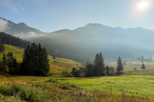
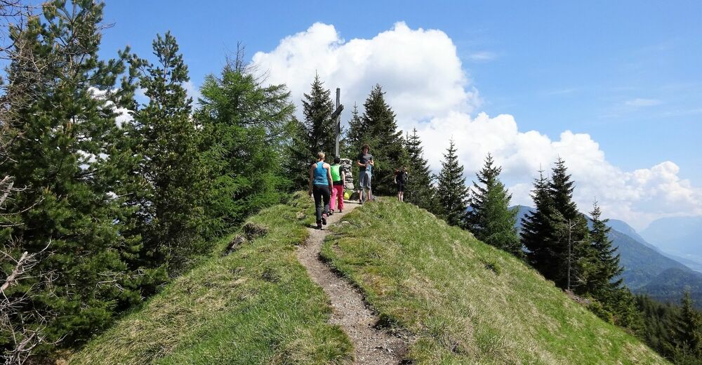
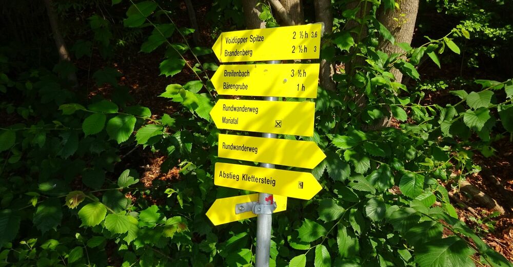
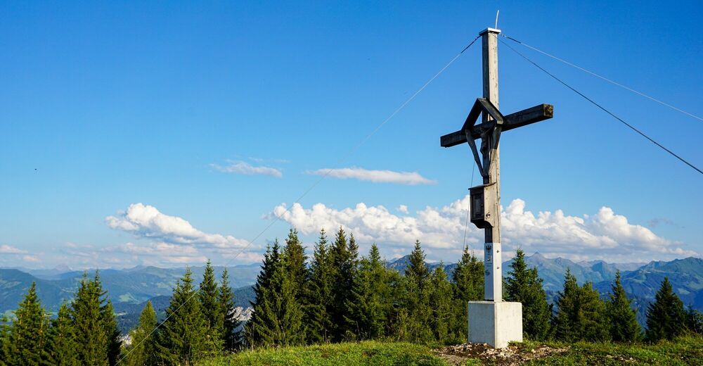
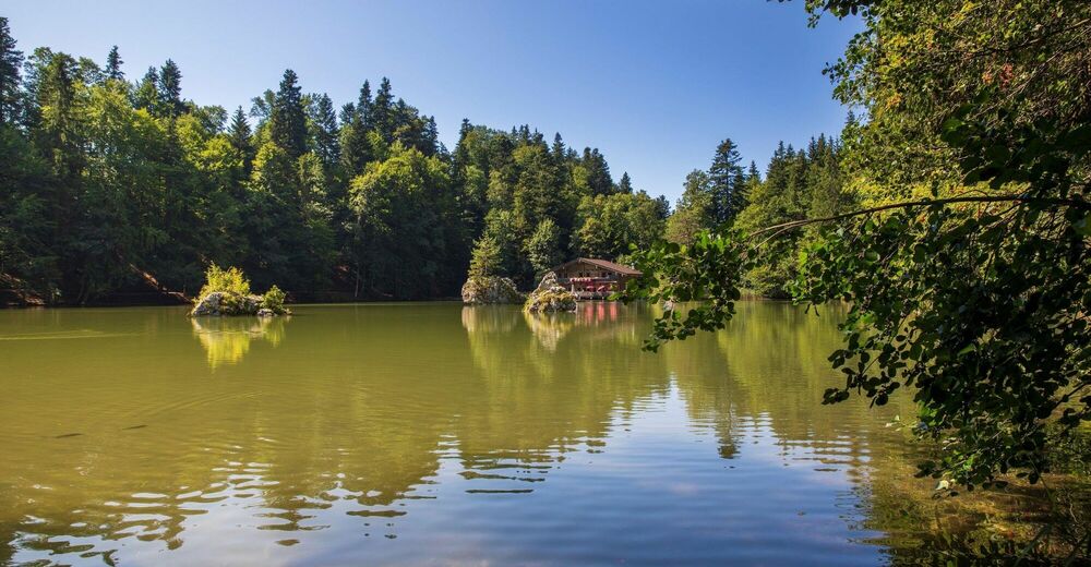
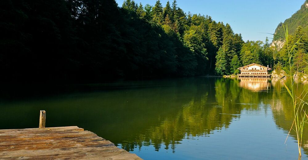
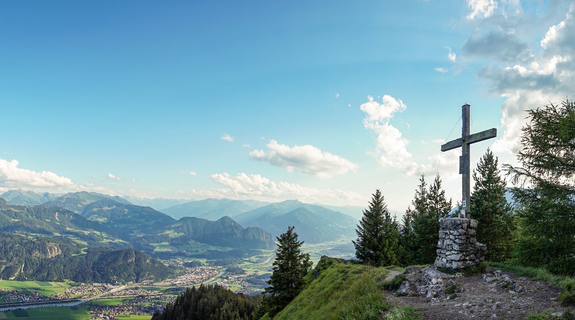
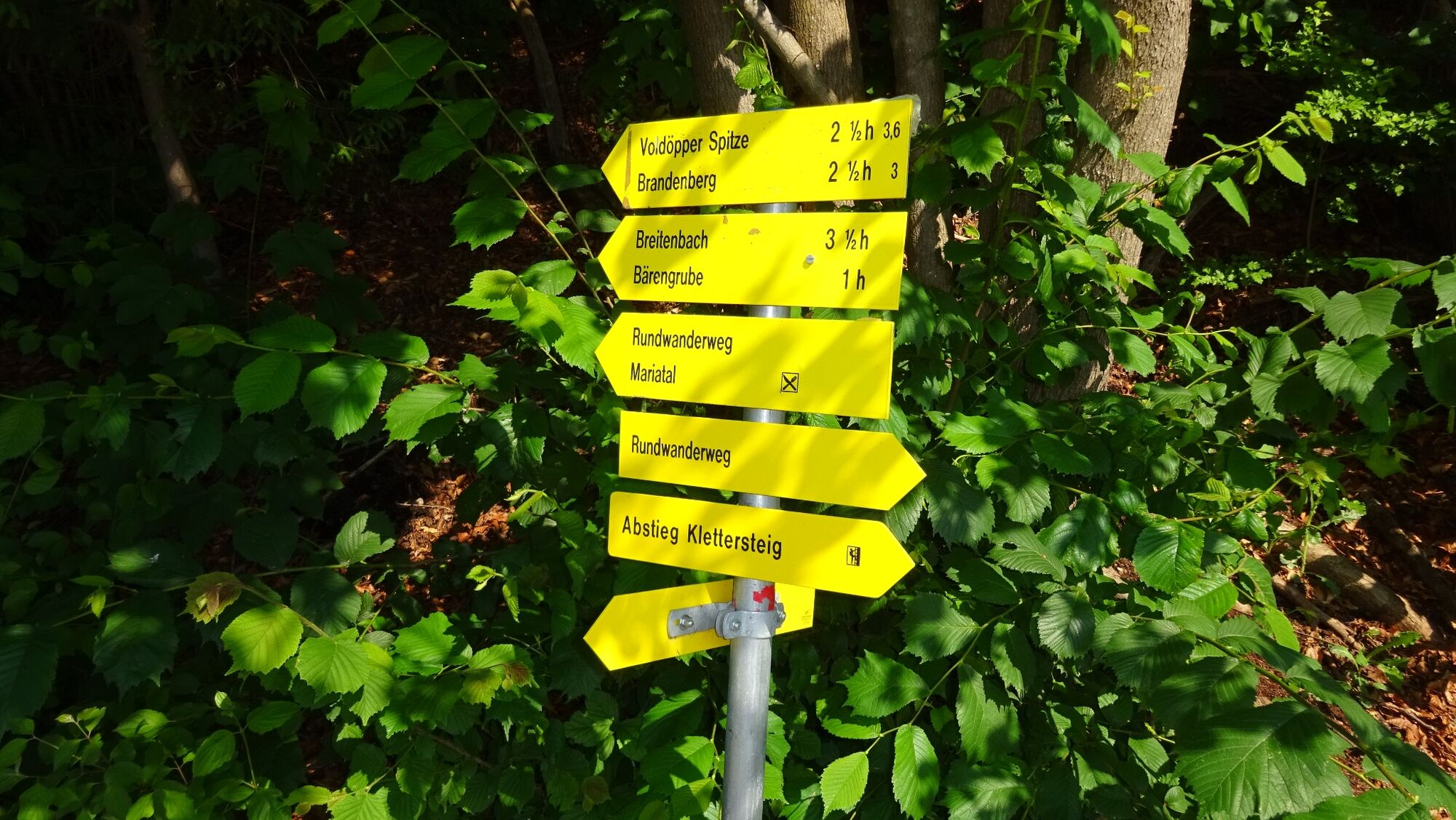
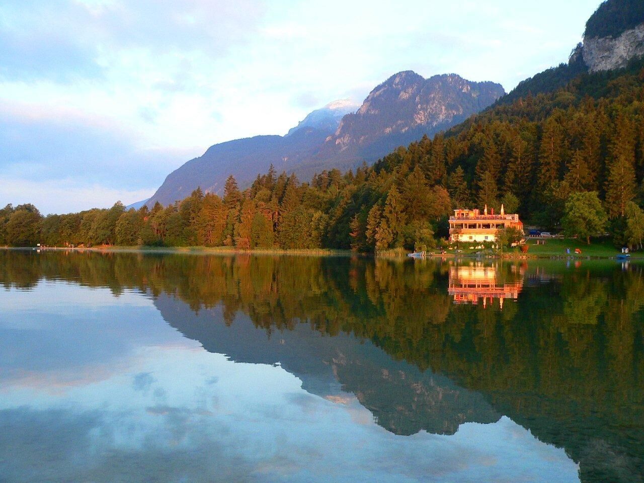
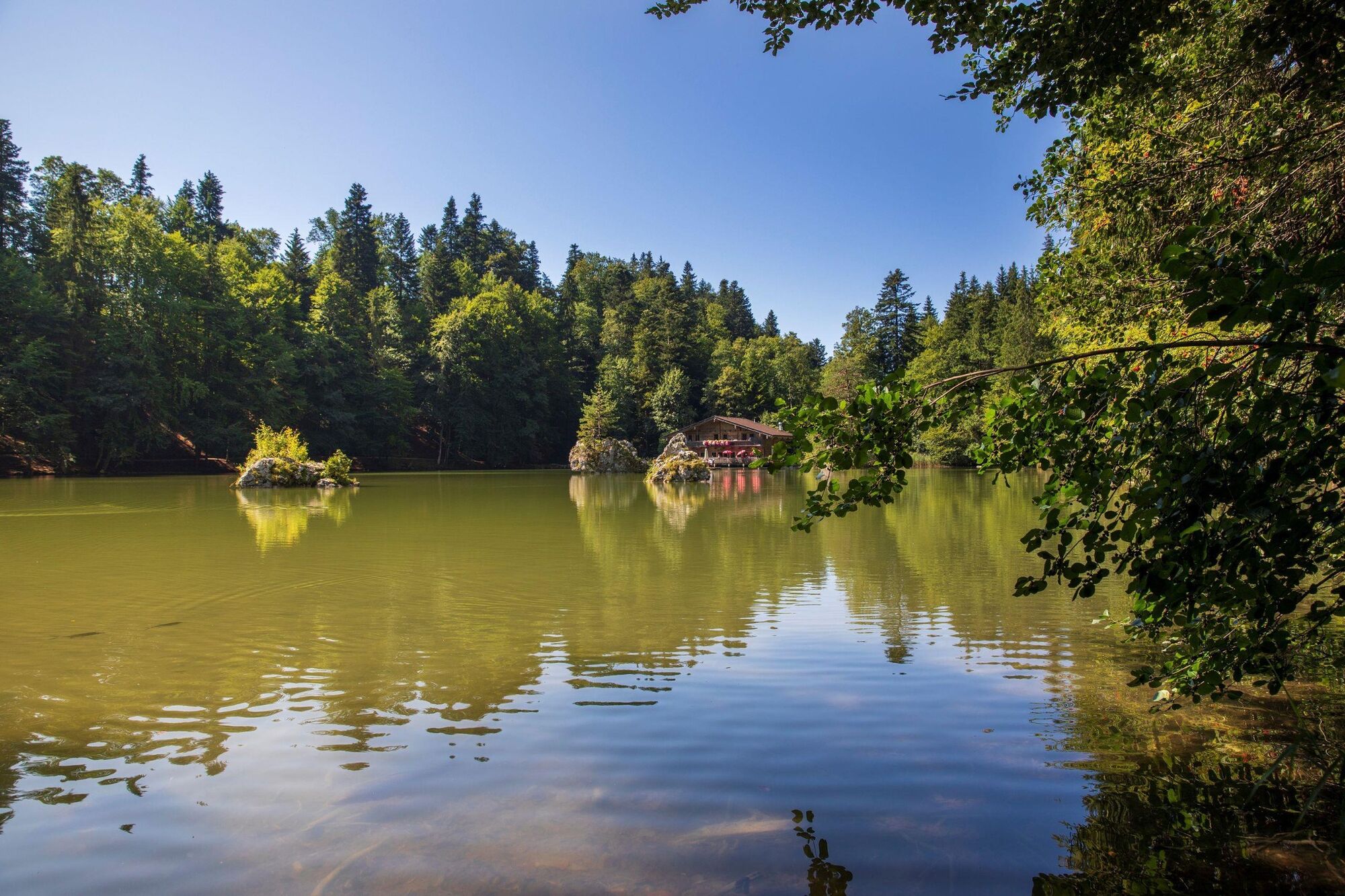
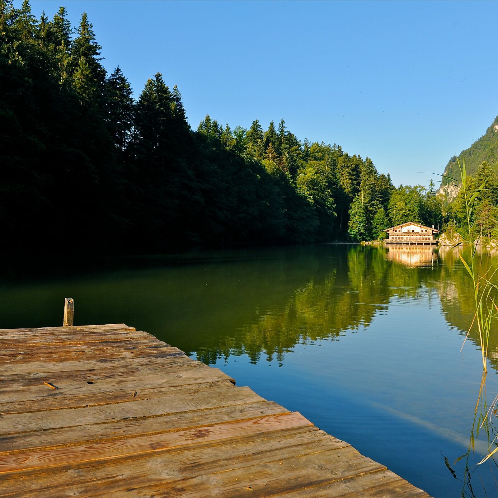
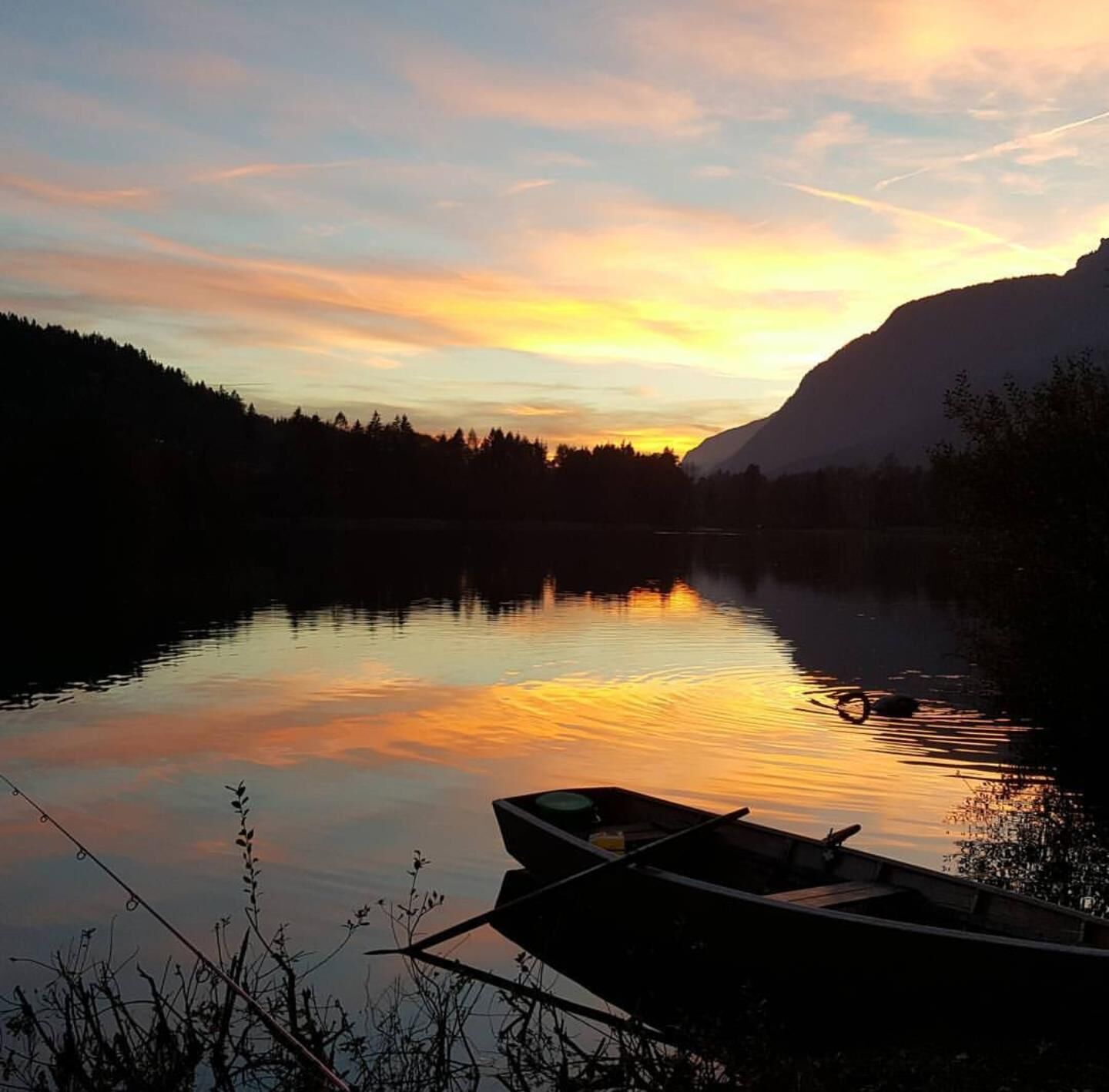
Demanding hike with significant elevation gain. From Kramsach to the Voldöpper Spitze. The descent leads via the Heumösernalm, Lake Berglstein, Lake Reintal back to the starting point.
- Greutăţi
-
mediu
- Evaluare
-
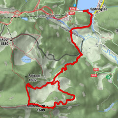
- Ruta
-
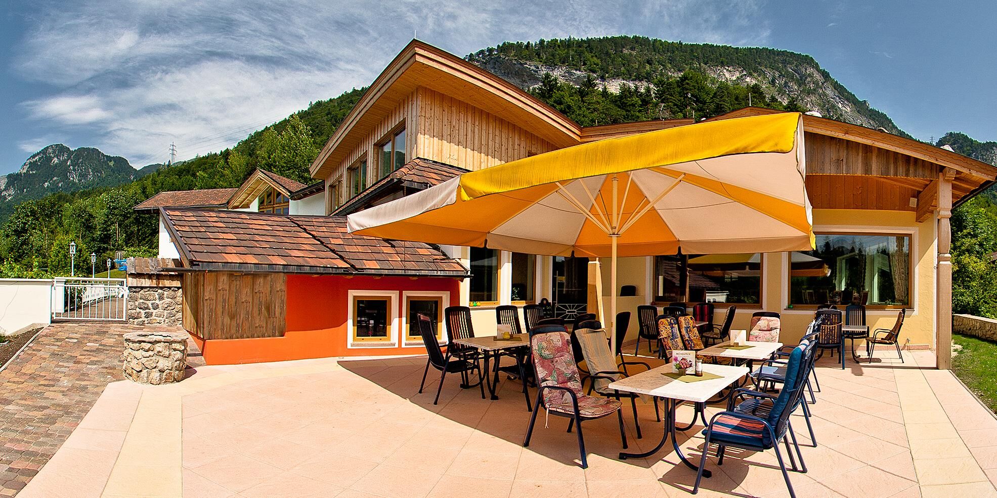
Genuss Schmied'n Stadlerhof0,5 kmVoldöpper Spitze (1.509 m)4,4 kmBerglsteiner See 712er Lounge10,4 kmSeerose12,8 kmFischerstube12,8 km
- Cel mai bun sezon
-
ianfebmaraprmaiiuniulaugsepoctnovdec
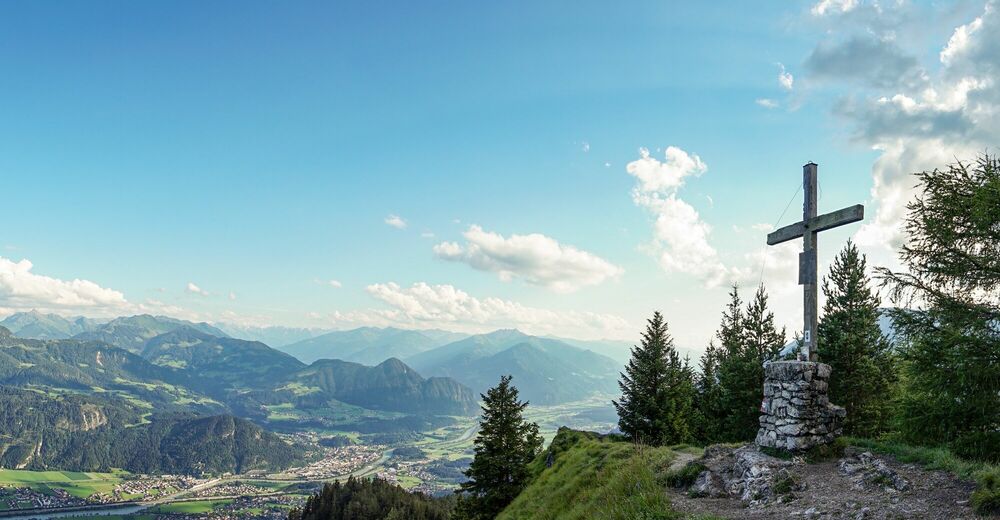
- Cel mai înalt punct
- 1.484 m
- Destinație
-
Kramsach, Lake Reintal car park West
- Profil de elevație
-


- Autor
-
Turul Voldöpper Spitze Loop Hike este utilizat de outdooractive.com furnizat.
GPS Downloads


Informaţii generale
Promițător
Mai multe tururi în regiuni
-
Alpbachtal
1502
-
Brandenberg
417