

© Wanderhotels - Hotel Lumberger Hof

© Wanderhotels - Hotel Lumberger Hof

© Wanderhotels - Hotel Lumberger Hof

© Wanderhotels - Hotel Lumberger Hof

© Wanderhotels - Hotel Lumberger Hof

- Scurtă descriere
-
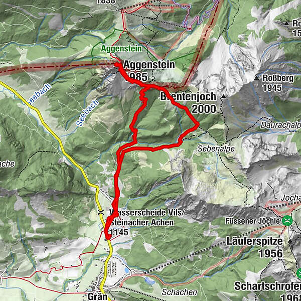
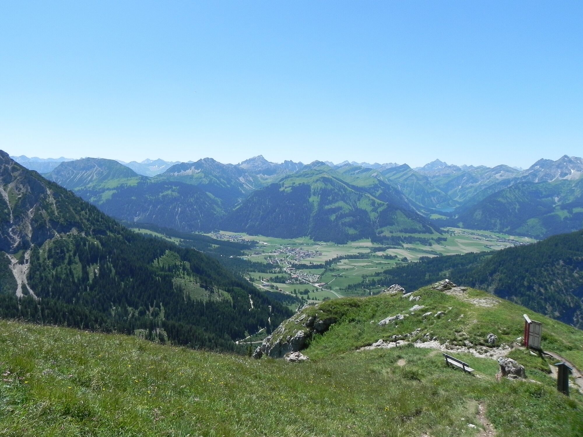
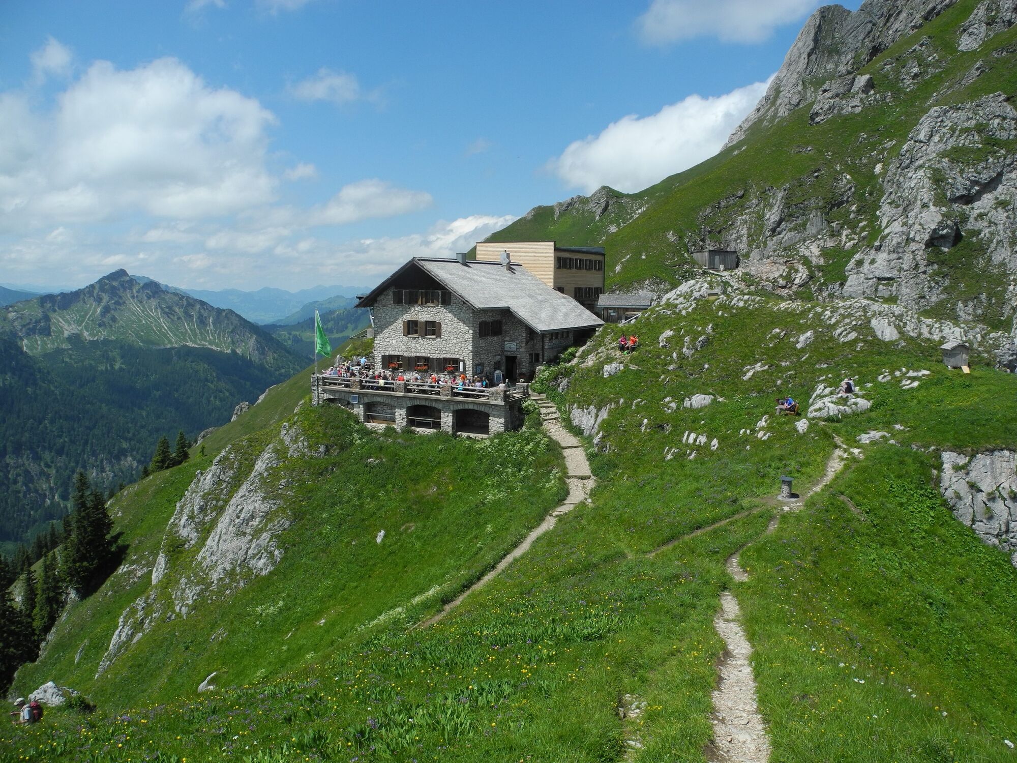
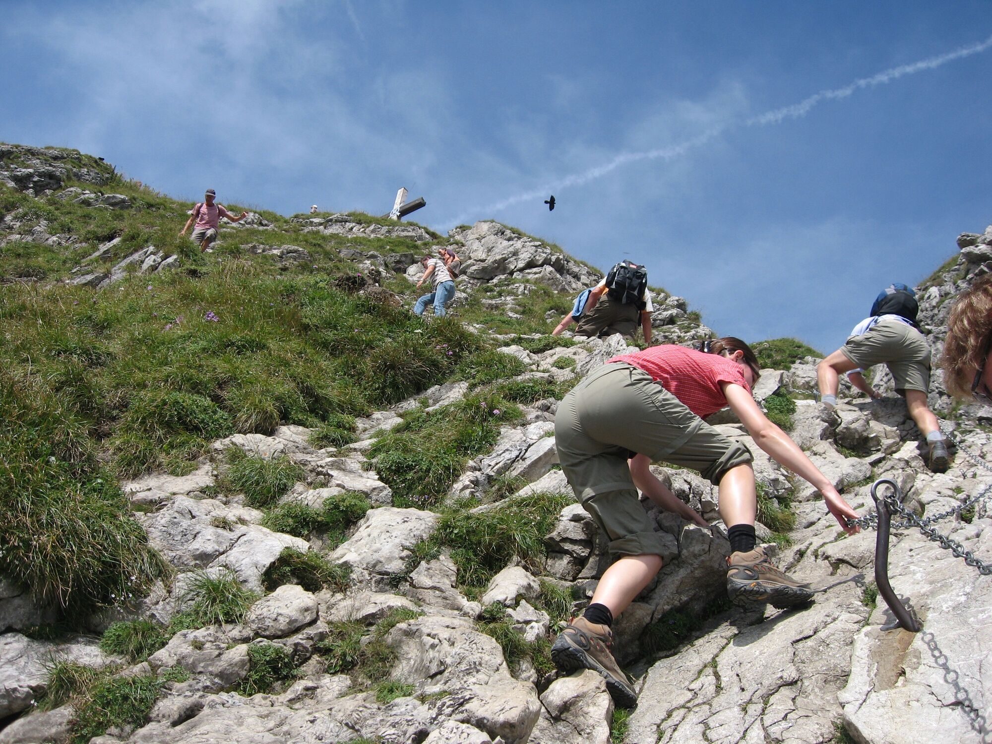
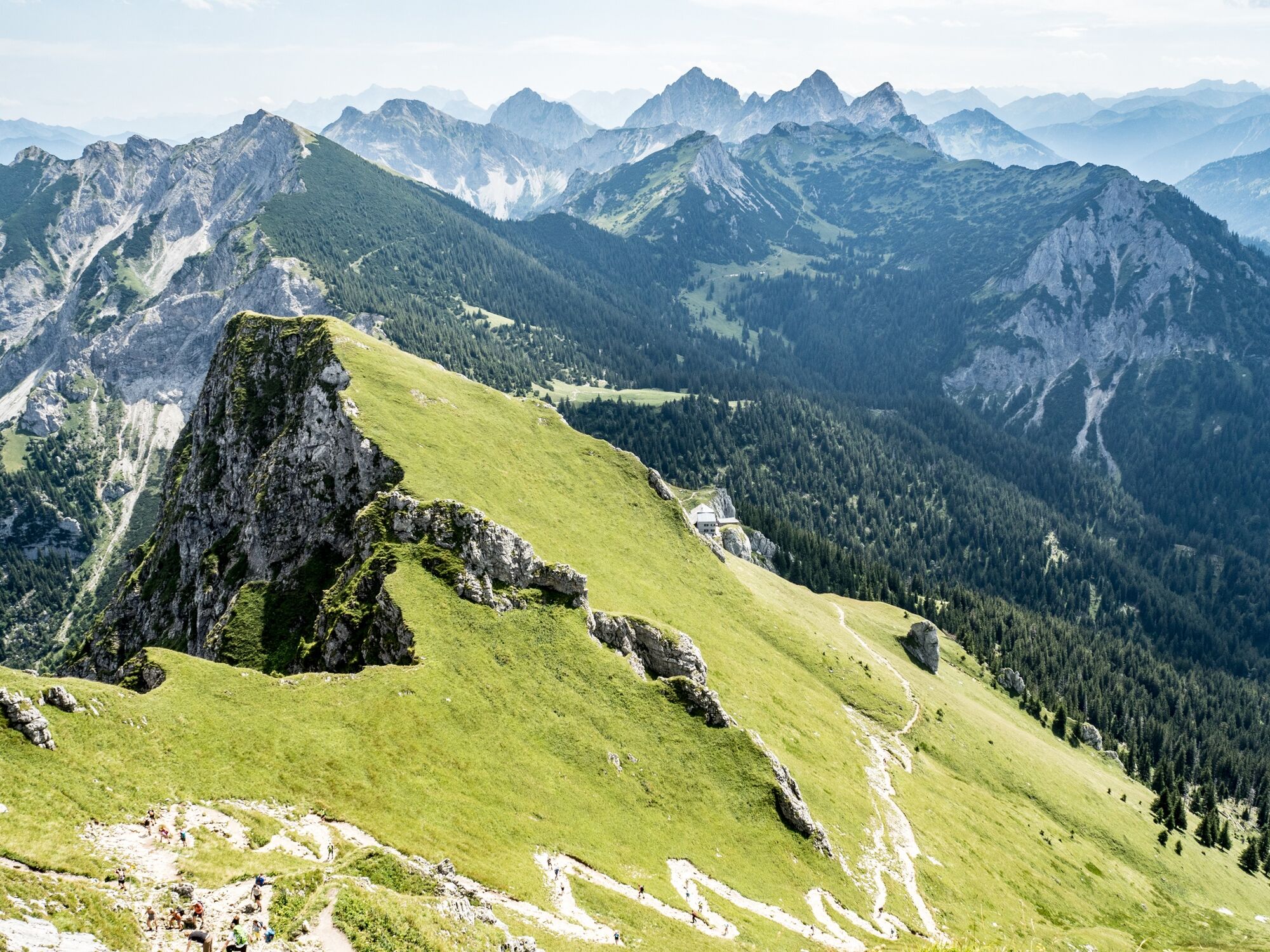
Walk up to the mountain to the Bad Kissinger Hütte 1788m. The Aggenstein way is secured with rope - surefootedness is required.
- Ruta
-
Lumberg0,3 kmGeißstein3,9 kmAggenstein (1.985 m)4,4 kmBayern-Tirol Sattel4,6 kmBad Kissinger Hütte5,1 kmLumberg9,3 km
- Cel mai înalt punct
- 1.948 m
- Profil de elevație
-


-

-
AutorTurul Aggenstein 1985m este utilizat de outdooractive.com furnizat.
GPS Downloads


Mai multe tururi în regiuni
-
Allgäu
2362
-
Tannheimer Tal
1453
-
Grän-Haldensee - Füssener Jöchle
570


