© TVB Wilder Kaiser - TVB Wilder Kaiser Söll/dasbauernhaus

© TVB Wilder Kaiser - TVB Wilder Kaiser Söll/dasbauernhaus

© TVB Wilder Kaiser

© TVB Wilder Kaiser

© TVB Wilder Kaiser - Gasthof Bocking/Marlene

- Scurtă descriere
-
Quietness, strength and with easy breathing steadily closer to the Wilder Kaiser.
You can return on foot or by bus. - Greutăţi
-
uşor
- Evaluare
-
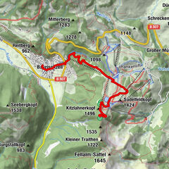
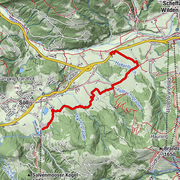
- Ruta
-
Bach0,6 kmBocking5,4 km
- Cel mai bun sezon
-
ianfebmaraprmaiiuniulaugsepoctnovdec
- Cel mai înalt punct
- 779 m
- Destinație
-
Gasthof Bocking, Söll (665 m)
- Profil de elevație
-


- Autor
-
Turul Schattseit trail route este utilizat de outdooractive.com furnizat.
GPS Downloads


Informaţii generale
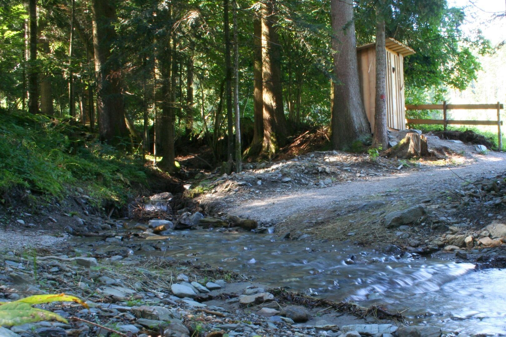
Oprire pentru băuturi răcoritoare
Mai multe tururi în regiuni
-
Wilder Kaiser
1951
-
Söll
609