© TVB Wilder Kaiser

© TVB Wilder Kaiser

© TVB Wilder Kaiser

© TVB Wilder Kaiser

© TVB Wilder Kaiser

© TVB Wilder Kaiser

© TVB Wilder Kaiser

© TVB Wilder Kaiser

© TVB Wilder Kaiser

© TVB Wilder Kaiser

- Scurtă descriere
-
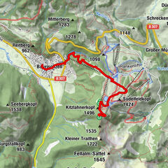
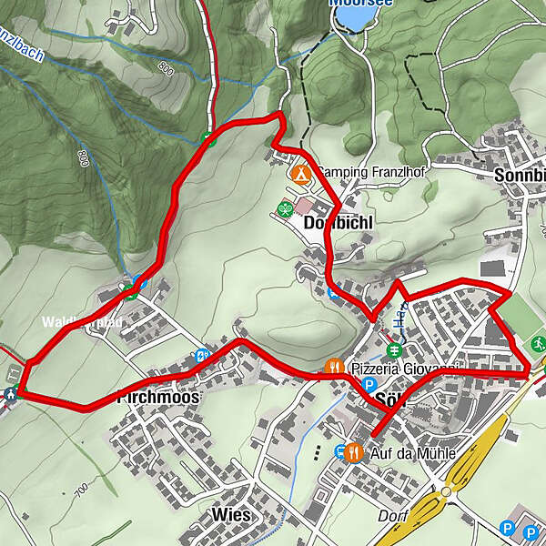
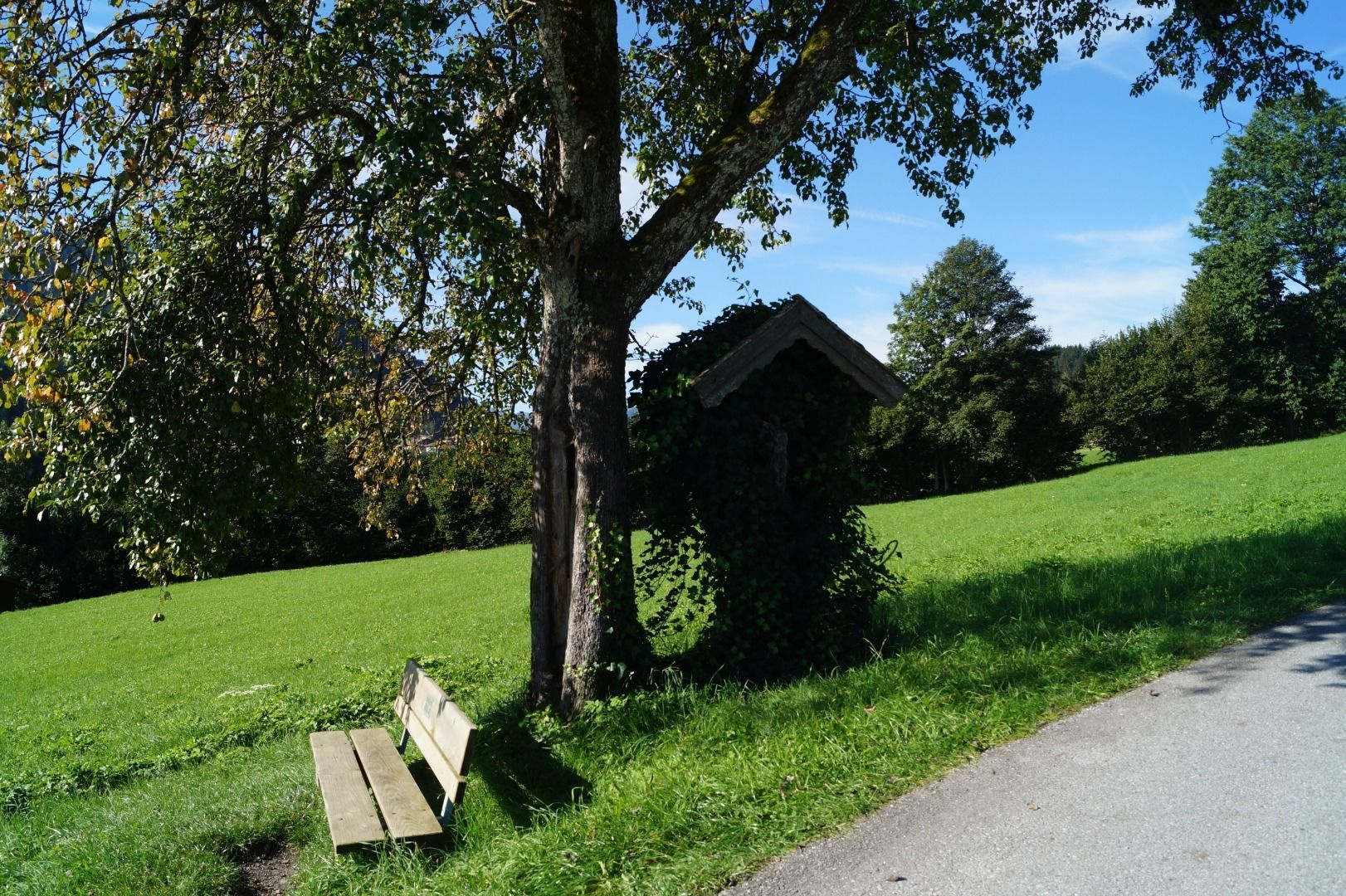
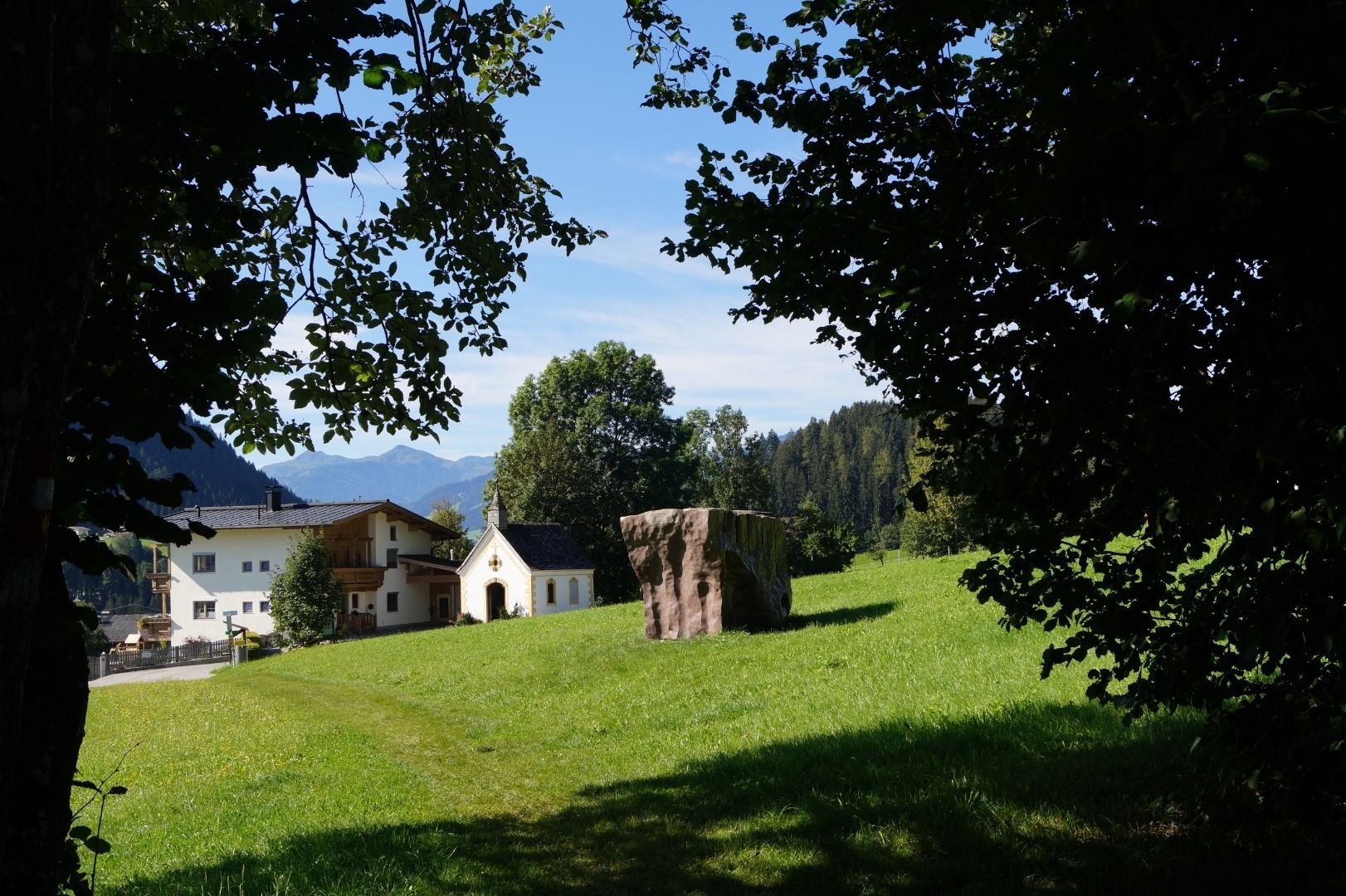
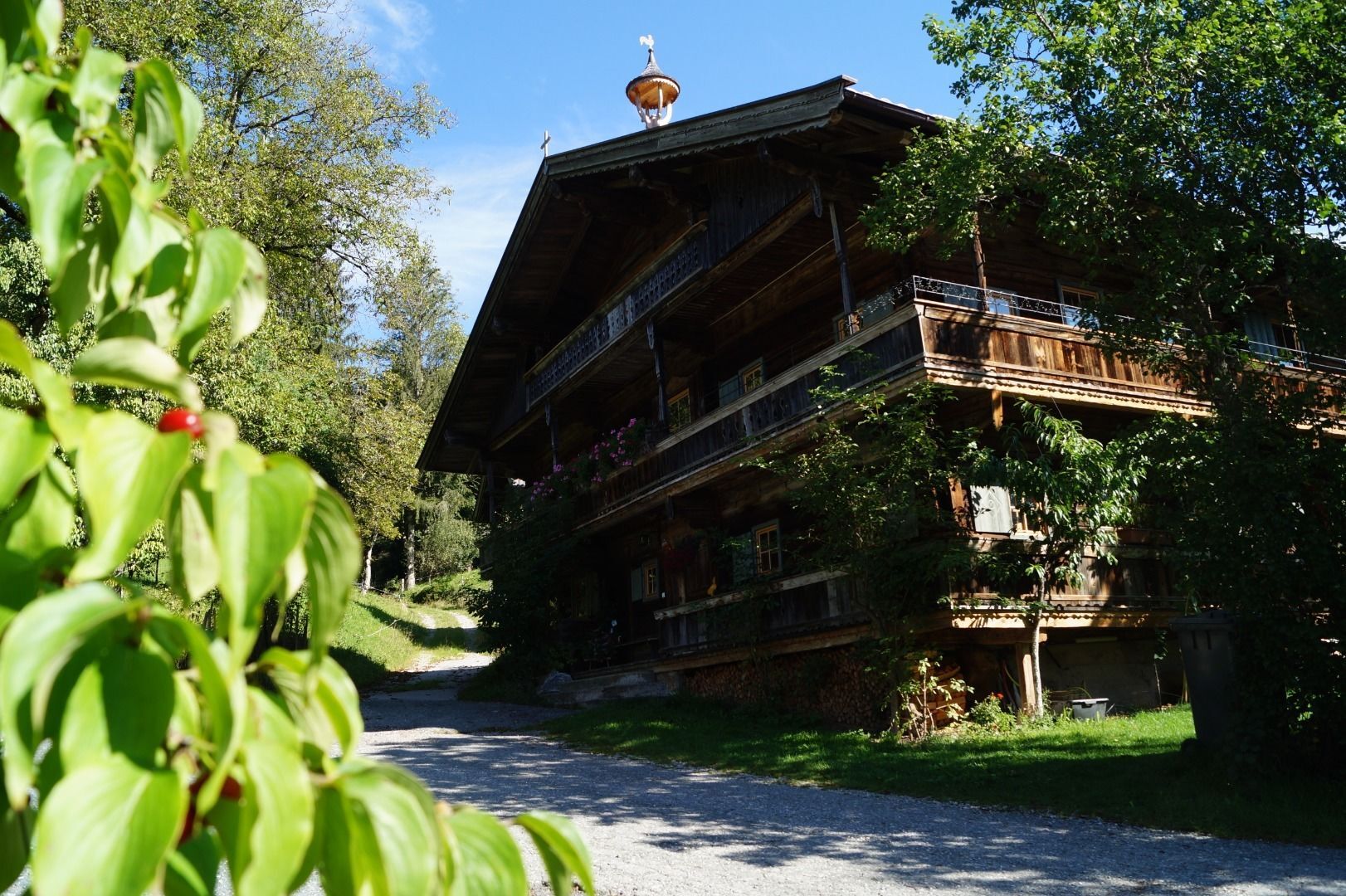
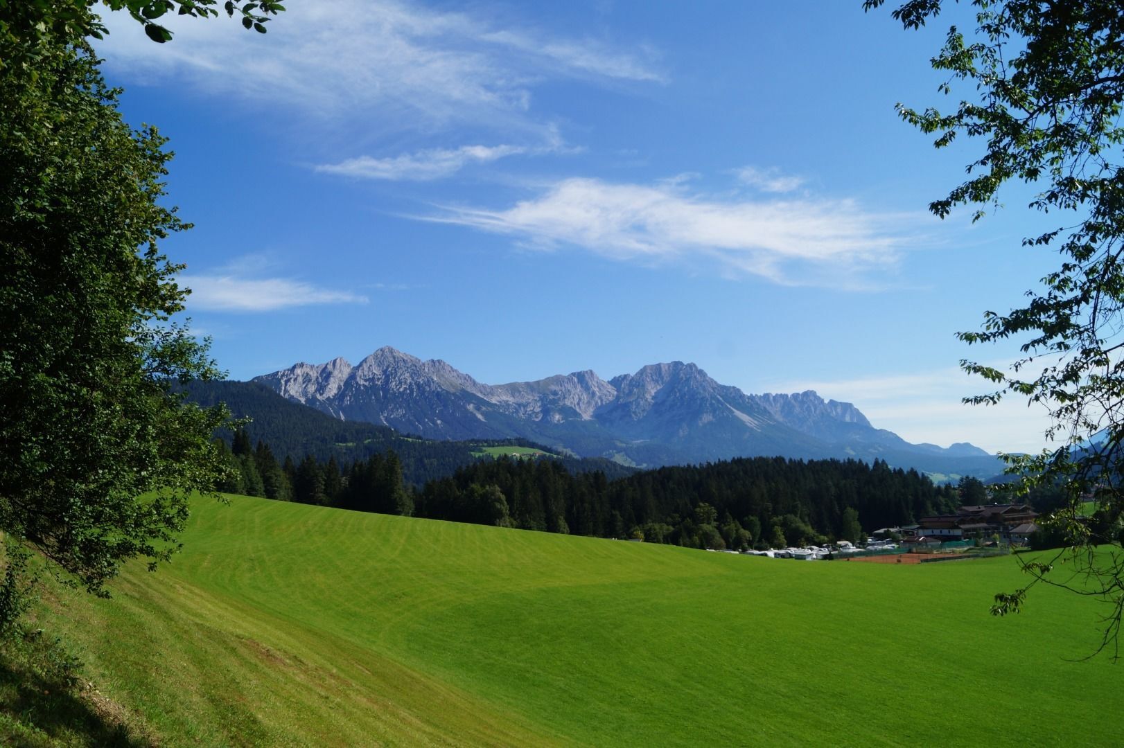
Looping the village of Söll, the sight seeing hike!
- Greutăţi
-
uşor
- Evaluare
-
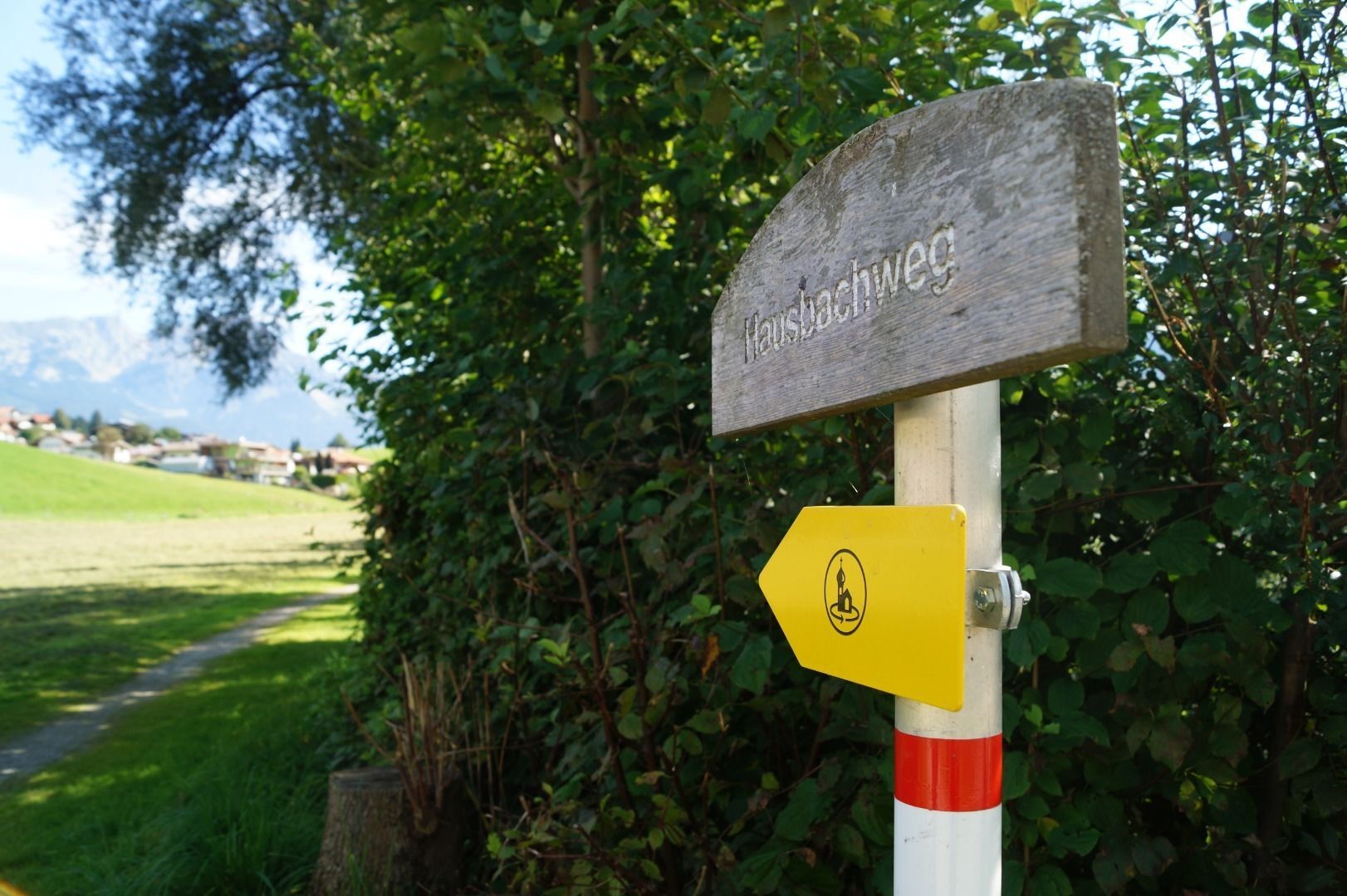
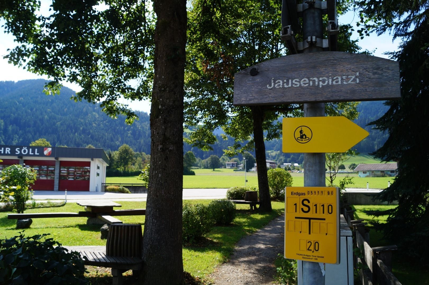
- Ruta
-
Söll0,1 kmPirchmoos0,7 kmPirchmooser-Kapelle1,0 kmDorfbichl2,4 km
- Cel mai bun sezon
-
ianfebmaraprmaiiuniulaugsepoctnovdec
- Cel mai înalt punct
- 738 m
- Destinație
-
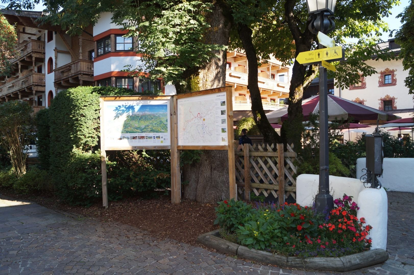
Hiking starting point Tourist Info, Söll (689 m)
- Profil de elevație
-


- Autor
-
Turul Söller village tour este utilizat de outdooractive.com furnizat.
GPS Downloads


Informaţii generale
Oprire pentru băuturi răcoritoare
Sfat din interior
Mai multe tururi în regiuni
-
Region Hohe Salve
1812
-
Söll
608