

© Alpenregion Bludenz Tourismus GmbH - Danja Sutterlüty

© Alpenregion Bludenz Tourismus GmbH - Danja Sutterlüty

© Alpenregion Bludenz Tourismus GmbH - Danja Sutterlüty

© Alpenregion Bludenz Tourismus GmbH - Danja Sutterlüty

© Alpenregion Bludenz Tourismus GmbH - Danja Sutterlüty

© Alpenregion Bludenz Tourismus GmbH - Danja Sutterlüty

© Alpenregion Bludenz Tourismus GmbH - Danja Sutterlüty

© Vorarlberg Tourismus GmbH

- Scurtă descriere
-
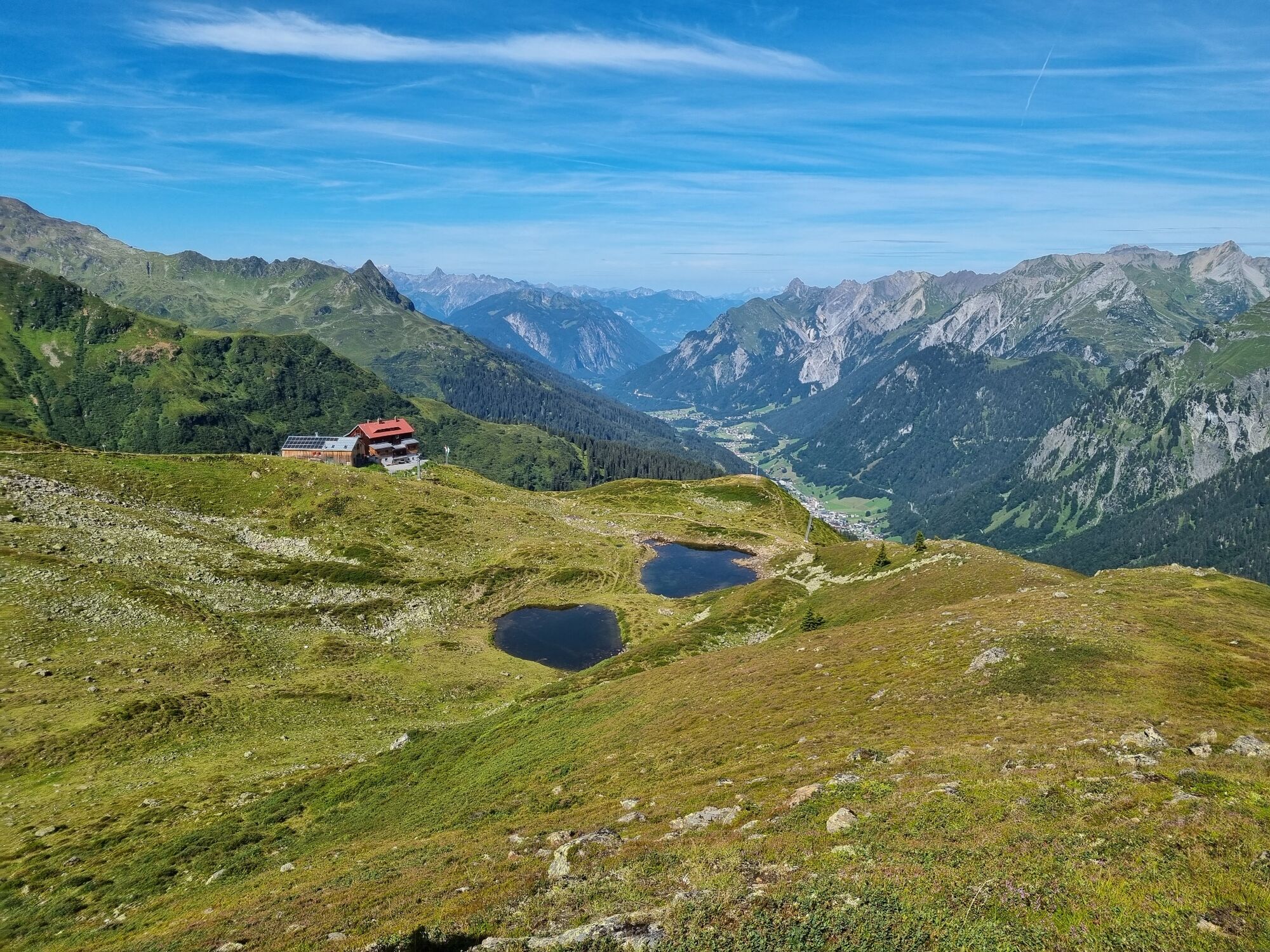
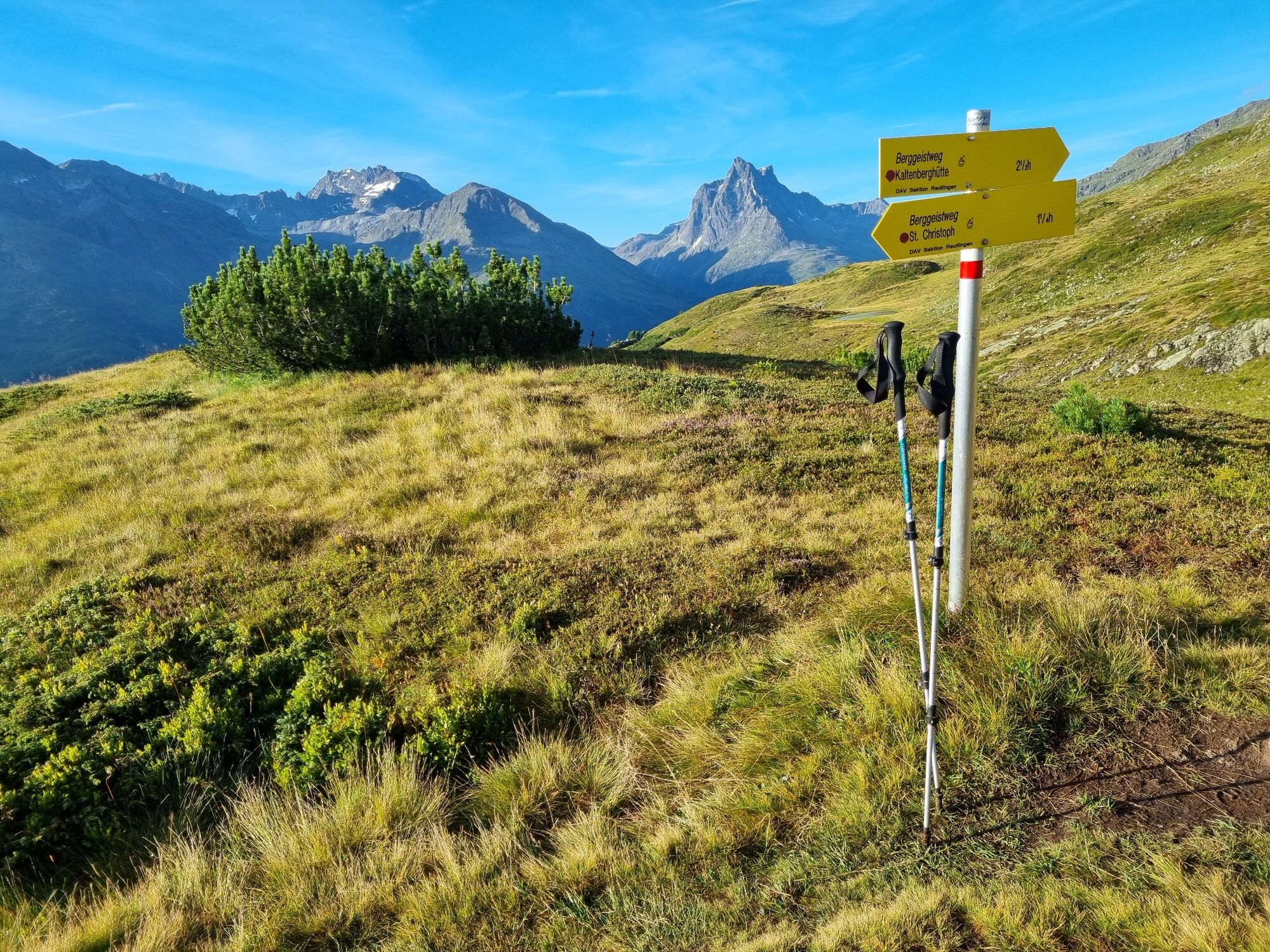
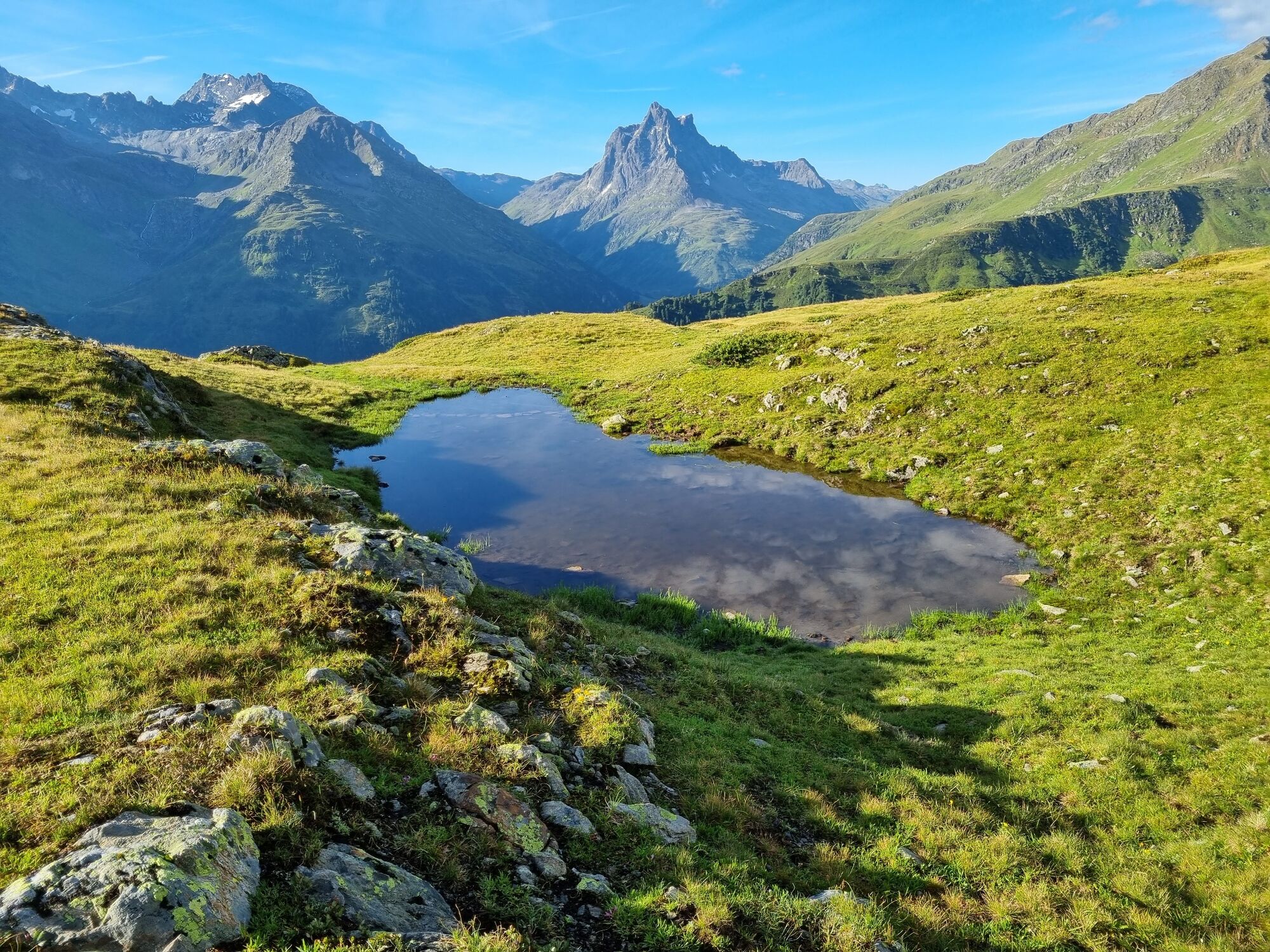
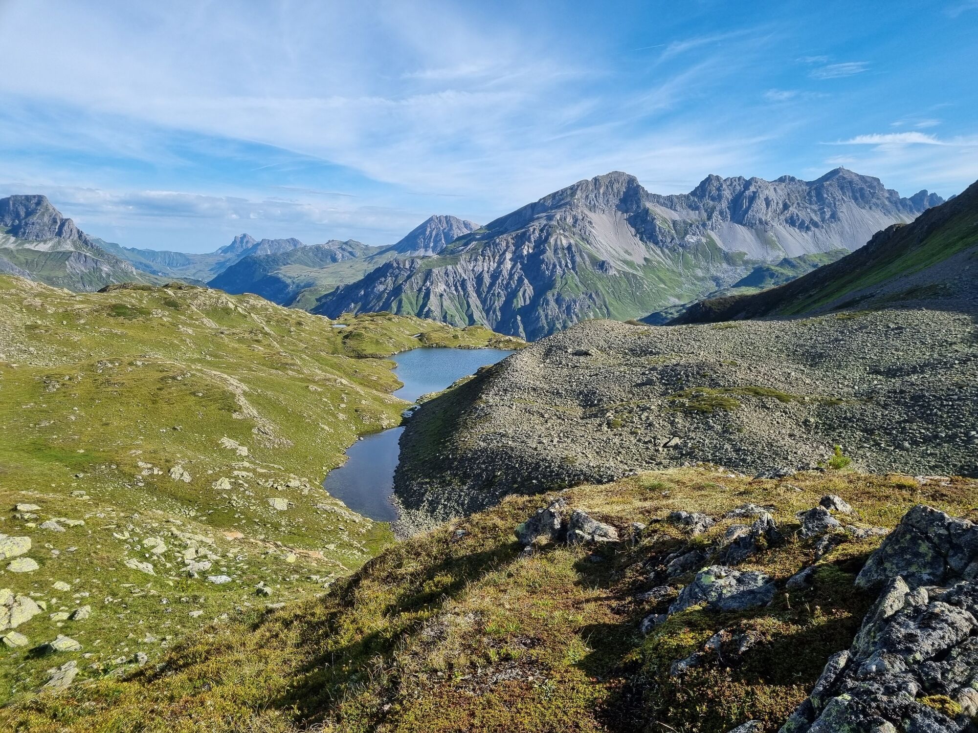
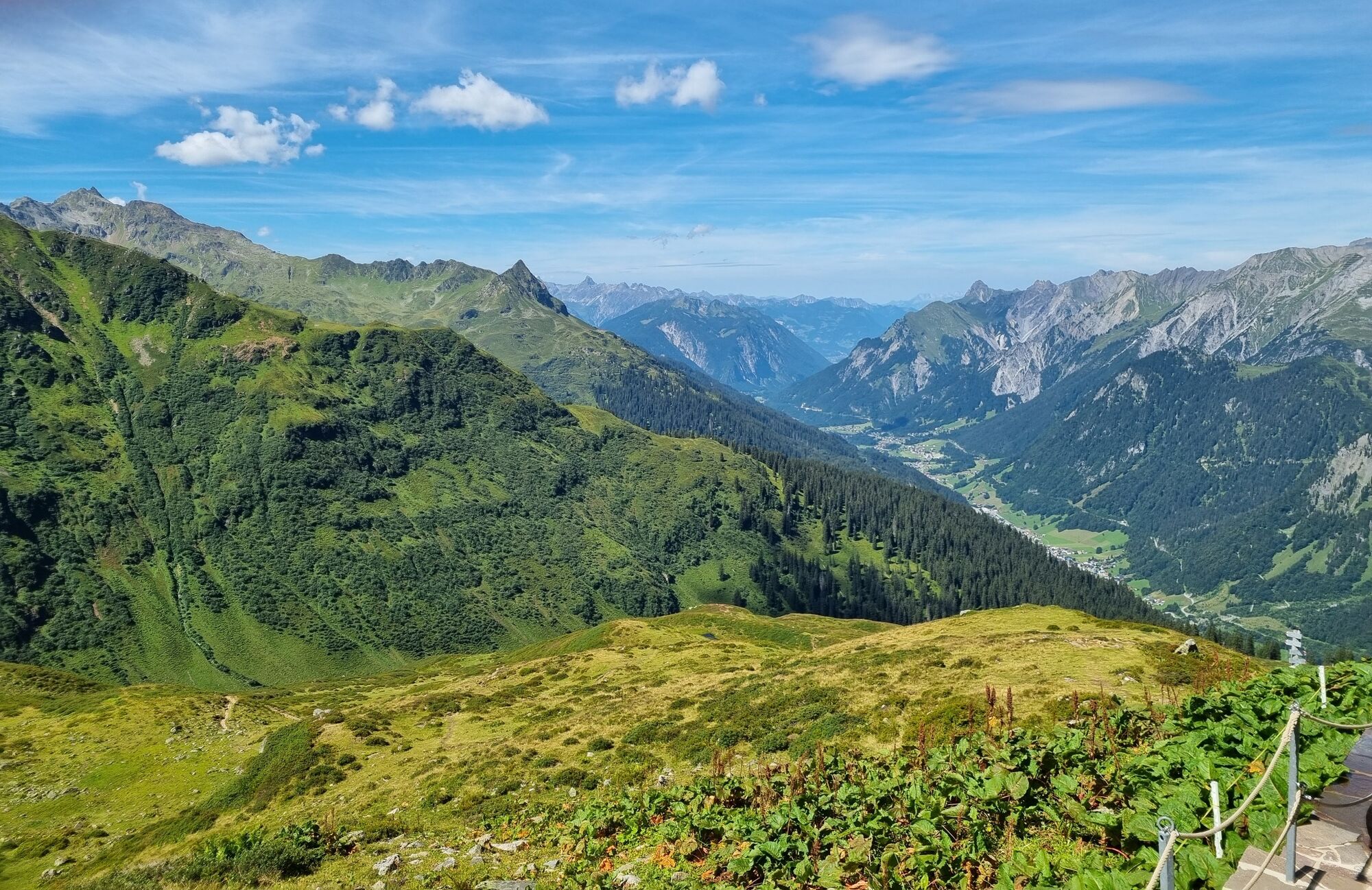
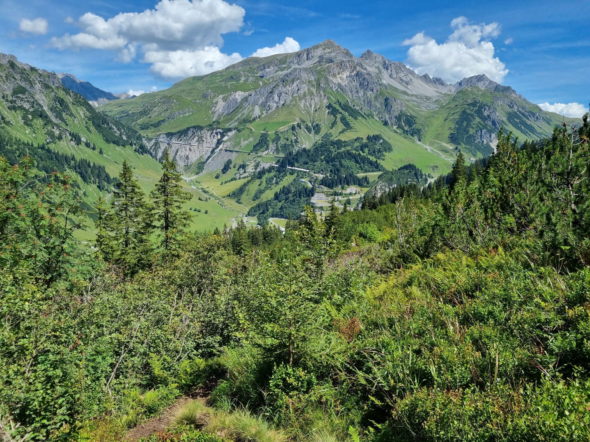
Very scenic hike from St. Christoph via the Berggeistweg to the Kaltenberg Hütte and then back to Klostertal.
- Greutăţi
-
mediu
- Evaluare
-
- Ruta
-
ChristophoruskapelleSt. Christoph (1.765 m)0,0 kmMilchboden4,5 kmUnteres Maroijöchle5,5 kmAlbonasattel5,8 kmAlbonagratstube6,6 kmKaltenberghütte9,0 kmChristophoruskapelle15,4 kmSt. Christoph (1.765 m)15,4 km
- Cel mai bun sezon
-
ianfebmaraprmaiiuniulaugsepoctnovdec
- Cel mai înalt punct
- 2.363 m
- Destinație
-
St. Christoph am Arlberg
- Profil de elevație
-


- Autor
-
Turul Kaltenberg Hütte | St. Christoph-Klostertal este utilizat de outdooractive.com furnizat.
GPS Downloads


Informaţii generale
Oprire pentru băuturi răcoritoare
Promițător
Mai multe tururi în regiuni
-
Arlberg
1723
-
Stuben am Arlberg
312


