
- Ruta
-
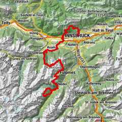
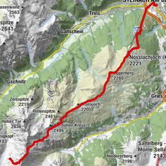
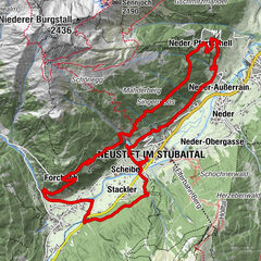
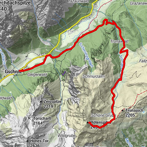
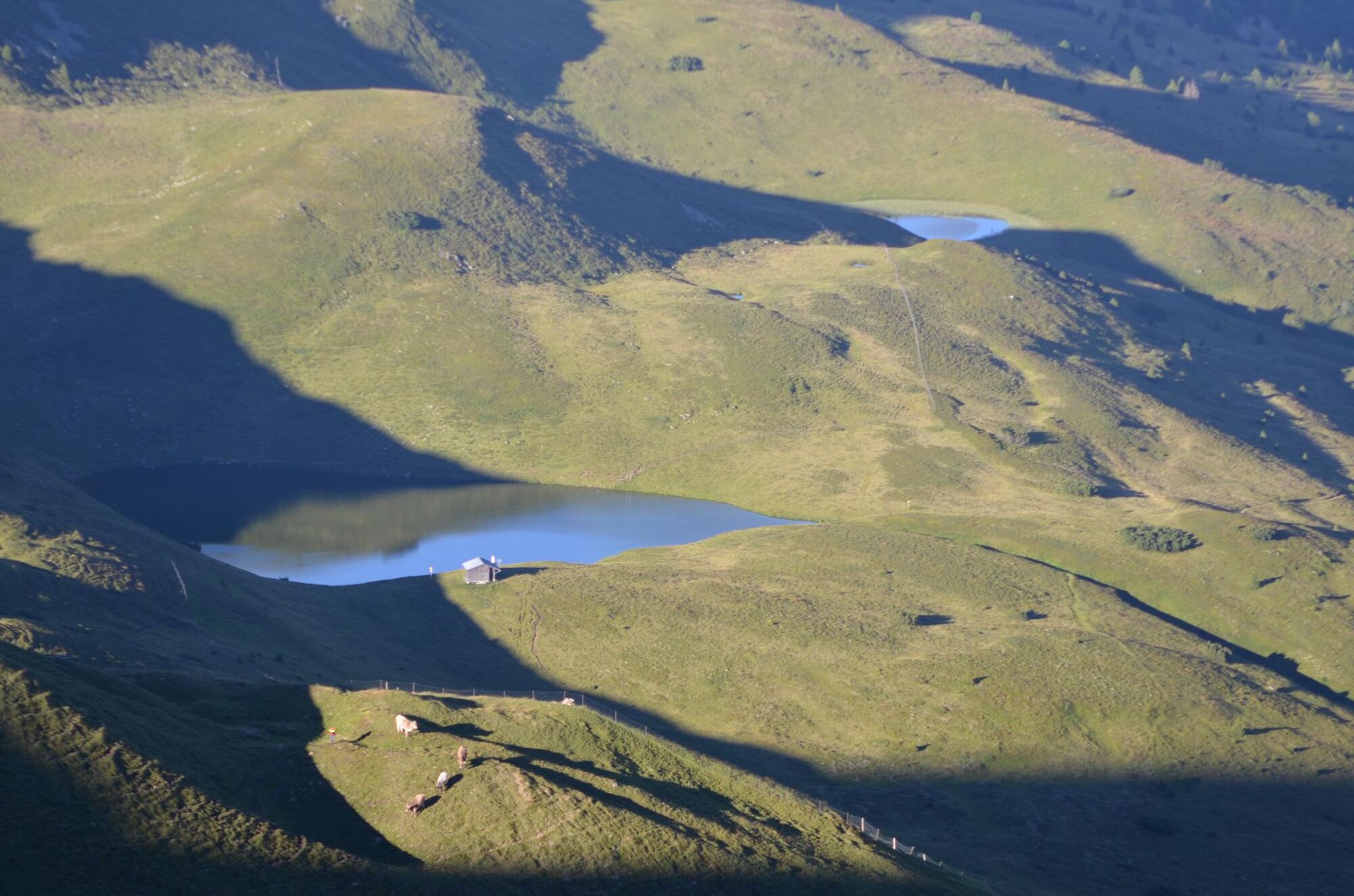
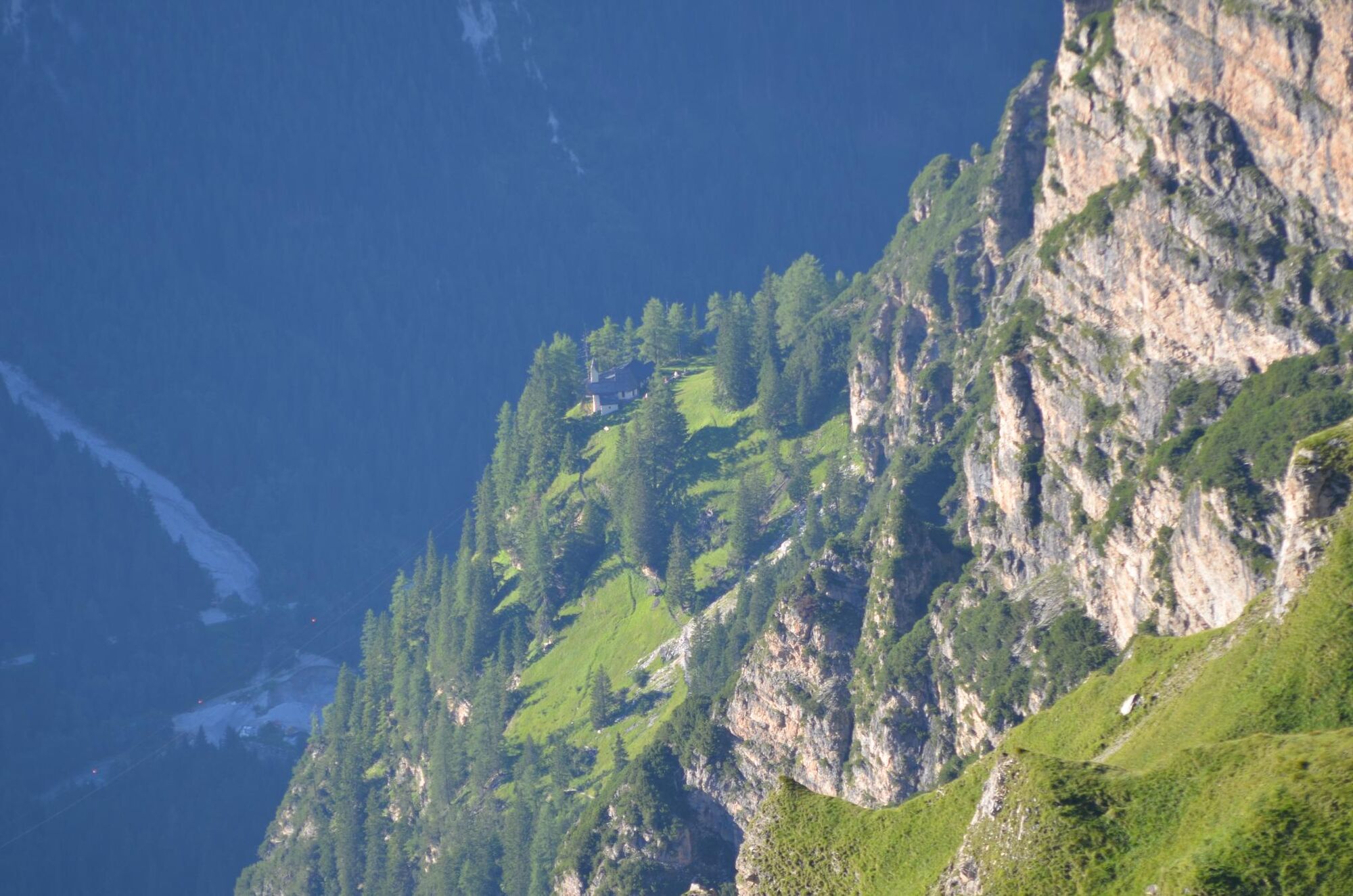
PitzensGschnitzTrunahütte6,2 kmRötenspitze (2.481 m)10,5 kmTrunajoch (2.152 m)11,7 kmTrunahütte14,8 kmPitzens21,0 kmGschnitz21,0 km
- Cel mai înalt punct
- 2.448 m
- Profil de elevație
-

- Autor
-
Turul Röthenspitz von Gschnitz este utilizat de outdooractive.com furnizat.
GPS Downloads
Mai multe tururi în regiuni
-
Brixen und Umgebung
47
-
Gschnitztal
60
-
Gschnitz
34