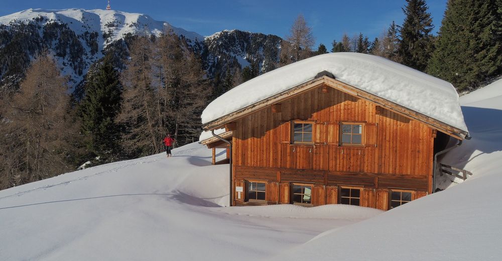
© paulmatt@a1.net - Paul Matt
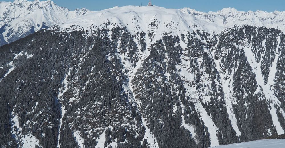
© paulmatt@a1.net - Paul Matt
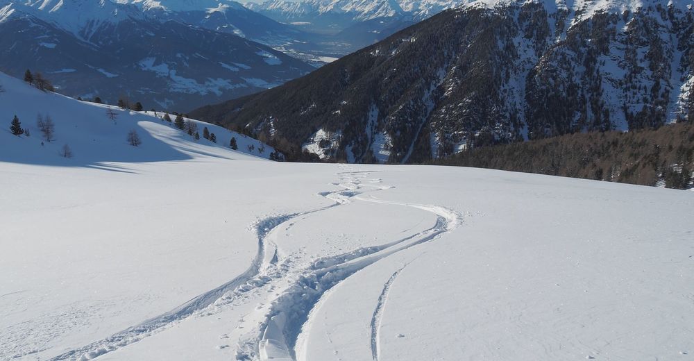
© paulmatt@a1.net - Paul Matt
© paulmatt@a1.net - Paul Matt
© paulmatt@a1.net - Paul Matt
Informaţii pentru tur
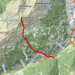
7,7km
1.220
- 2.607m
-
1.361hm
00:58h

- Scurtă descriere
-
Aufstieg und Abfahrt sind nicht identisch.
- Greutăţi
-
mediu
- Evaluare
-
- Ruta
-
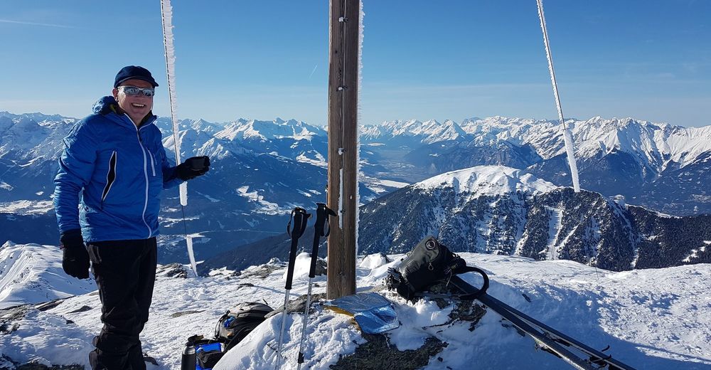
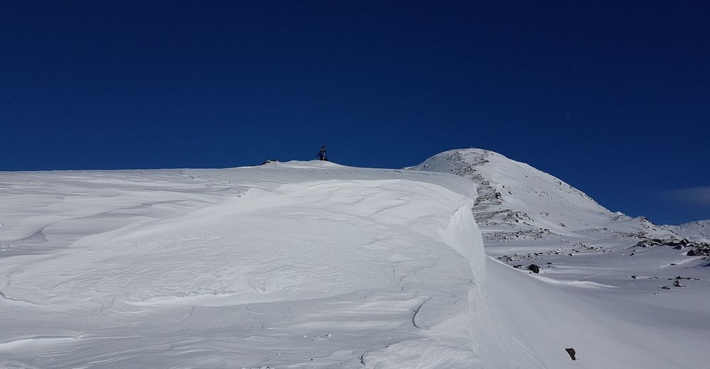
Morgenkogel (2.607 m)0,0 kmProfegl-Alm3,0 kmOberstraße7,3 km
- Cel mai bun sezon
-
augsepoctnovdecianfebmaraprmaiiuniul
- Cel mai înalt punct
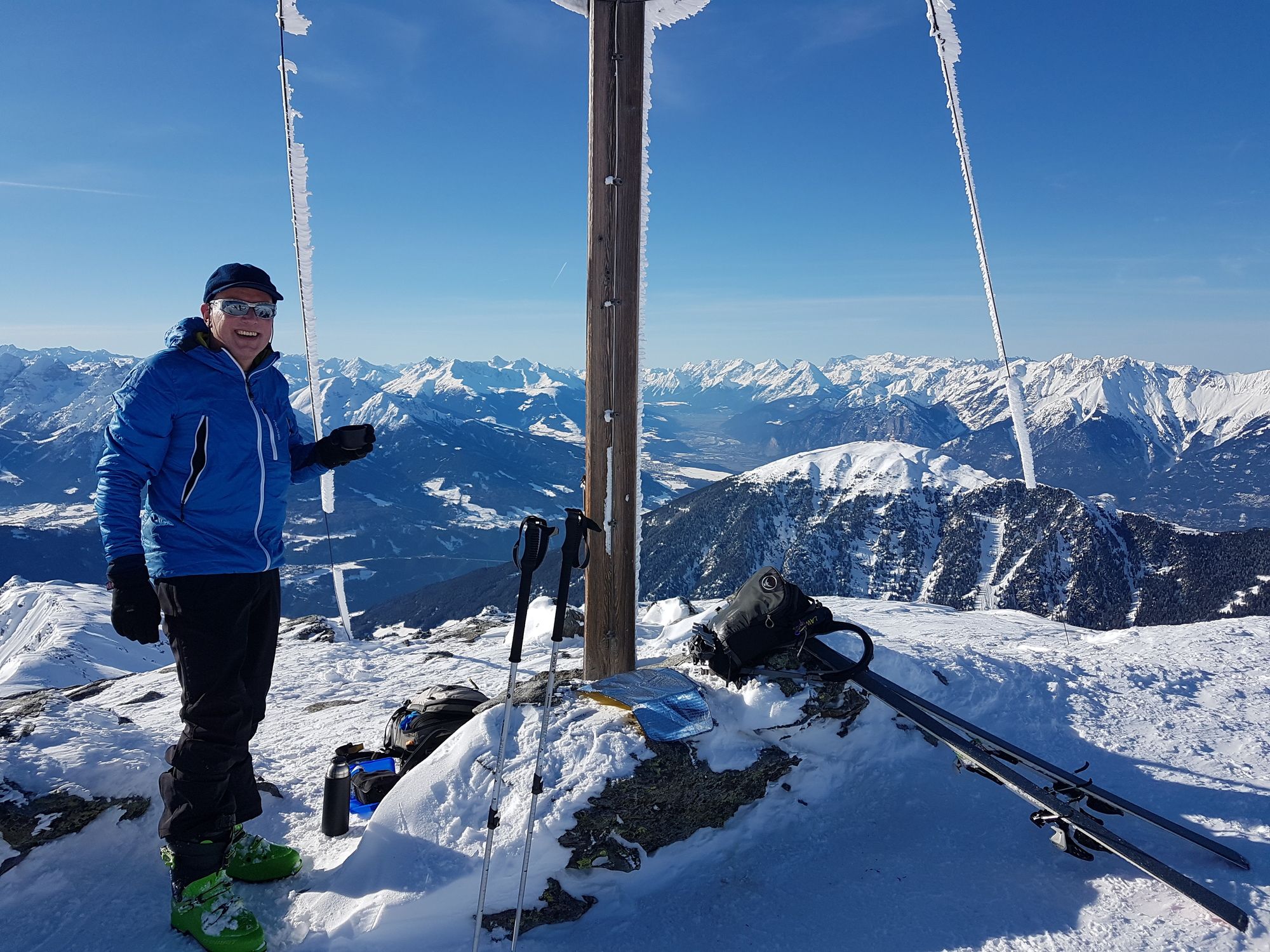
- Morgenkogel (2.607 m)
- Exposition