© Tannheimer Tal - Michael Keller

- Scurtă descriere
-
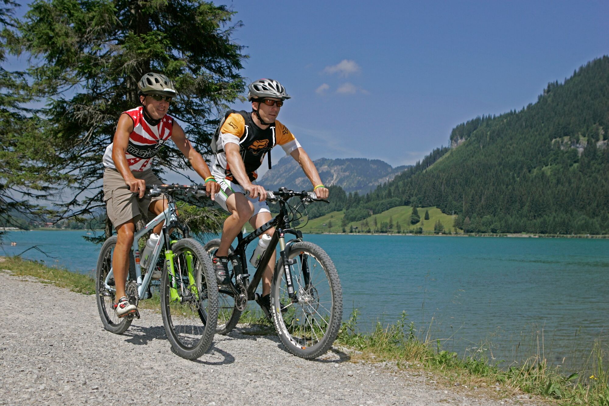
A bicycle tour through the "most beautiful high valley in Europe
- Greutăţi
-
mediu
- Evaluare
-
- Ruta
-
Nesselwängle (1.136 m)1,2 kmKrinnenalpe1,9 kmSchmitte2,3 kmTauscher's Alm5,1 kmSt. Jakobus5,5 kmHaldensee5,7 kmGrän (1.138 m)6,5 kmInnergschwend9,1 kmTannheim (1.097 m)10,6 kmFischteich13,2 kmZöblen (1.087 m)14,6 kmFricken15,5 kmHaus Schattwald (1.100 m)15,7 kmSchattwald (1.072 m)15,8 kmWies16,1 kmSteig16,8 km
- Cel mai bun sezon
-
ianfebmaraprmaiiuniulaugsepoctnovdec
- Cel mai înalt punct
- 1.164 m
- Destinație
-
Landhotel Rehbach in Schattwald (exit from the tour possible on the whole valley level)
- Profil de elevație
-

- Autor
-
Turul Cycle path Tannheimer Tal - E-Bike este utilizat de outdooractive.com furnizat.
GPS Downloads


Informaţii generale
Oprire pentru băuturi răcoritoare
Flora
Fauna
Promițător
Mai multe tururi în regiuni
-
Allgäu
410
-
Tannheimer Tal
160
-
Tannheim
37