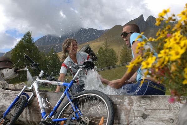
Informaţii pentru tur
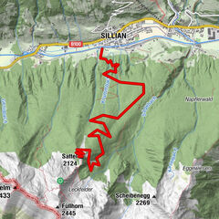
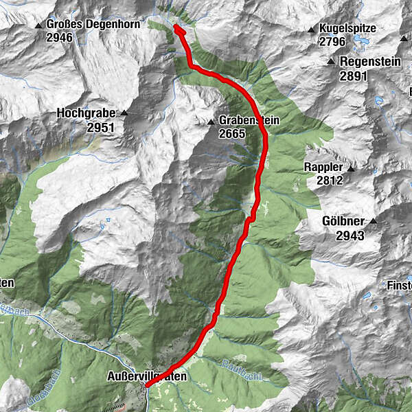
11,75km
1.262
- 1.875m
656hm
656hm
02:00h
- Evaluare
-
- Punct de pornire
-
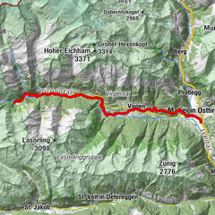
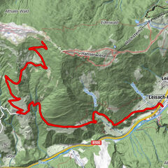
Dorf Außervillgraten und Dorf Innervillgraten
- Ruta
-
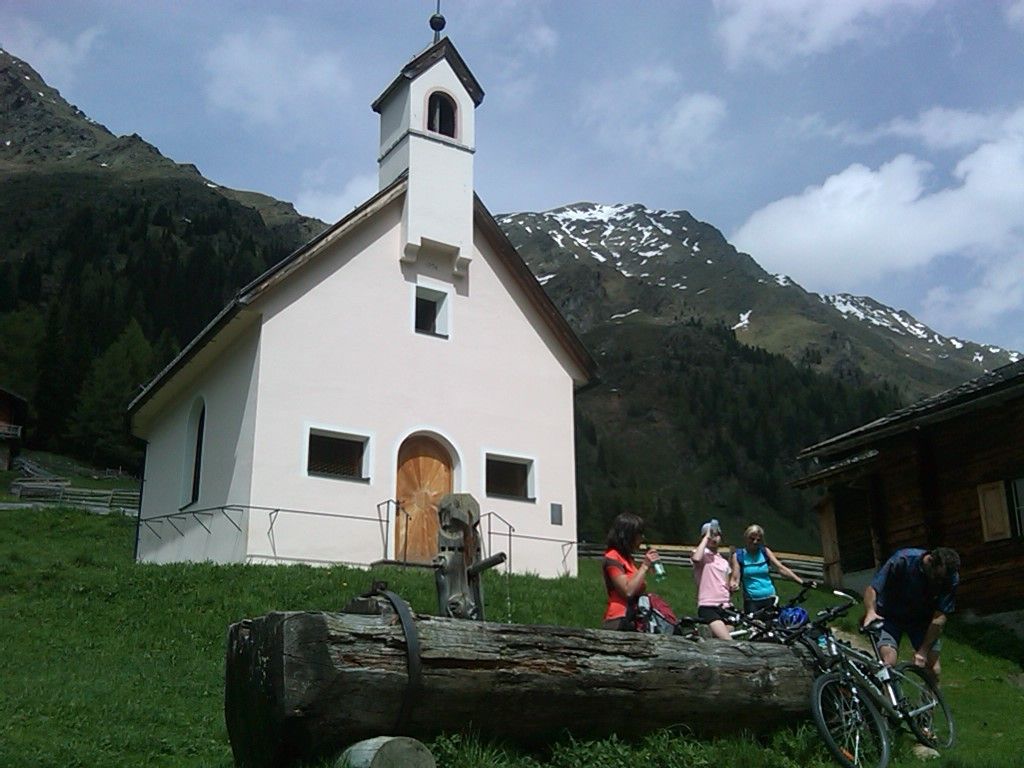
Außervillgraten0,0 kmKapelle Sankt Katharina2,3 kmReiterstub'n4,6 km
- Cel mai bun sezon
-
ianfebmaraprmaiiuniulaugsepoctnovdec
- Cel mai înalt punct
- 1.875 m
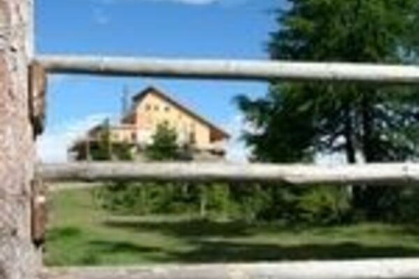
- Odihnă/Retragere
-
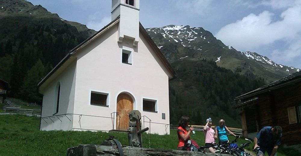
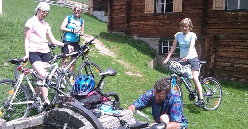
Reiterstube, Volkzeiner-Hütte, Thurntaler Rast, Gasthaus Badl-Alm in Kalkstein, Jausenstation Unterstalleralm und in den Gasthöfen im Villgratental.
- Material pentru hartă
-
TVB-Büros in Inner-und Außervillgraten
GPS Downloads


Benzi de circulaţie
Asfalt
Pietriş/prundiş/grohotiş
Pădure
Drumuri montane
Drumuri înguste/poteci pentru o persoană
Verificare
Circulaţie
Mai multe tururi în regiuni