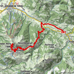
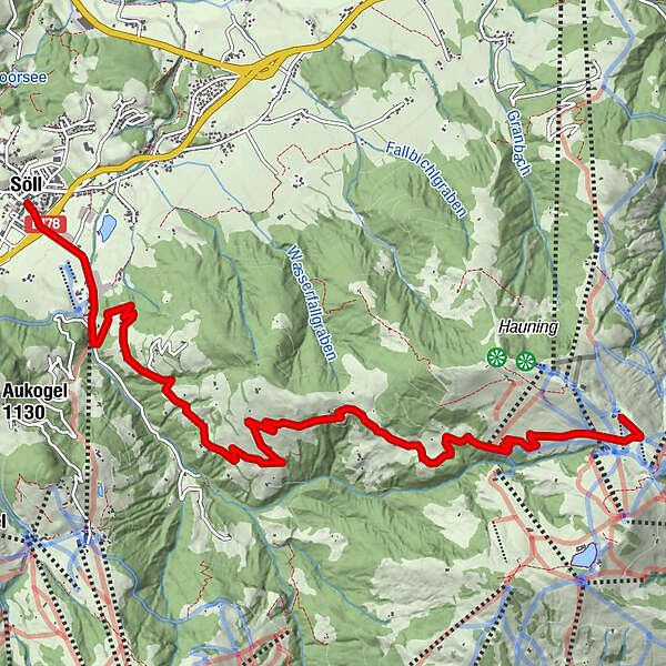
Informaţii pentru tur
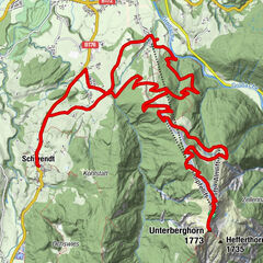
9,01km
691
- 1.584m
882hm
02:30h
- Evaluare
-
- Punct de pornire
-
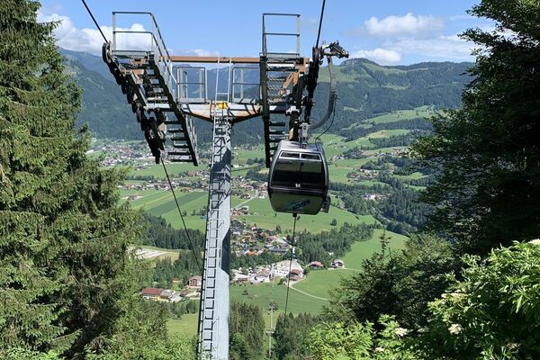
Ortszentrum Söll
- Ruta
-
SöllPeter und Paul0,0 kmStampfanger0,9 kmStampfangerkapelle1,2 kmBromberg4,7 kmAlpengasthof Gruberhof5,1 kmJausenstation Kogl-Kaser6,4 km
- Cel mai înalt punct
- 1.584 m
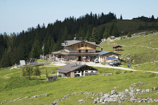
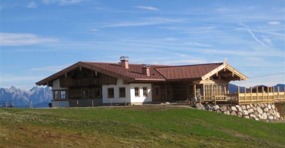
- Odihnă/Retragere
-
Gasthof Salvenmoos, Gasthof Hochsöll, Gründlalm, Tanzbodenalm

GPS Downloads


Benzi de circulaţie
Asfalt
Pietriş/prundiş/grohotiş
Drumuri montane
Drumuri înguste/poteci pentru o persoană
Verificare
Circulaţie
Mai multe tururi în regiuni
-
Wilder Kaiser
368
-
Söll
119