© Tourismusverband Region Hall-Wattens - Hall Wattens

© Tirol Werbung, Sebastian Shels

© Tourismusverband Region Hall-Wattens - Hall Wattens

© Tourismusverband Region Hall-Wattens - Hall Wattens

© Alpenverein Hall in Tirol - Gerald Aichner

© Tourismusverband Region Hall-Wattens - Hall Wattens

© Tourismusverband Region Hall-Wattens - Hall Wattens

© Tourismusverband Region Hall-Wattens - Hall Wattens

© Tourismusverband Region Hall-Wattens - Hall Wattens
© Tourismusverband Region Hall-Wattens - Anne W.
Informaţii pentru tur
75,18km
871
- 2.790m
4.553hm
4.170hm
30:40h
- Scurtă descriere
-
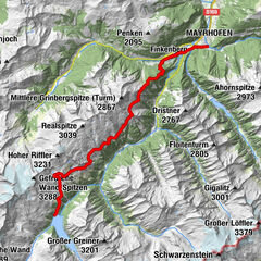
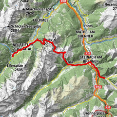
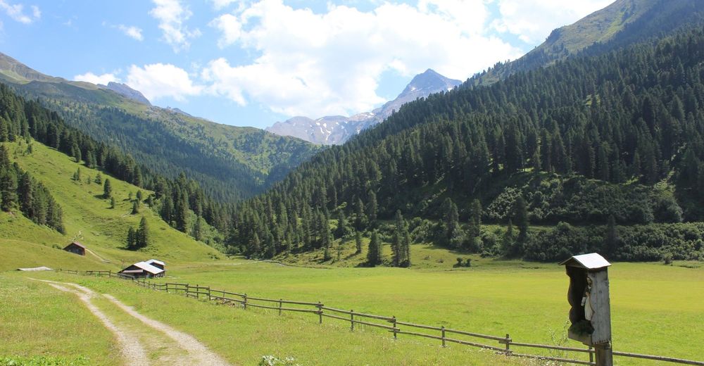
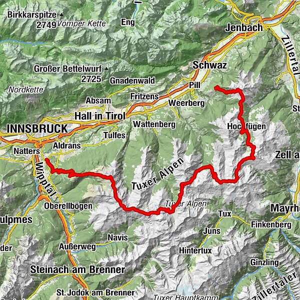
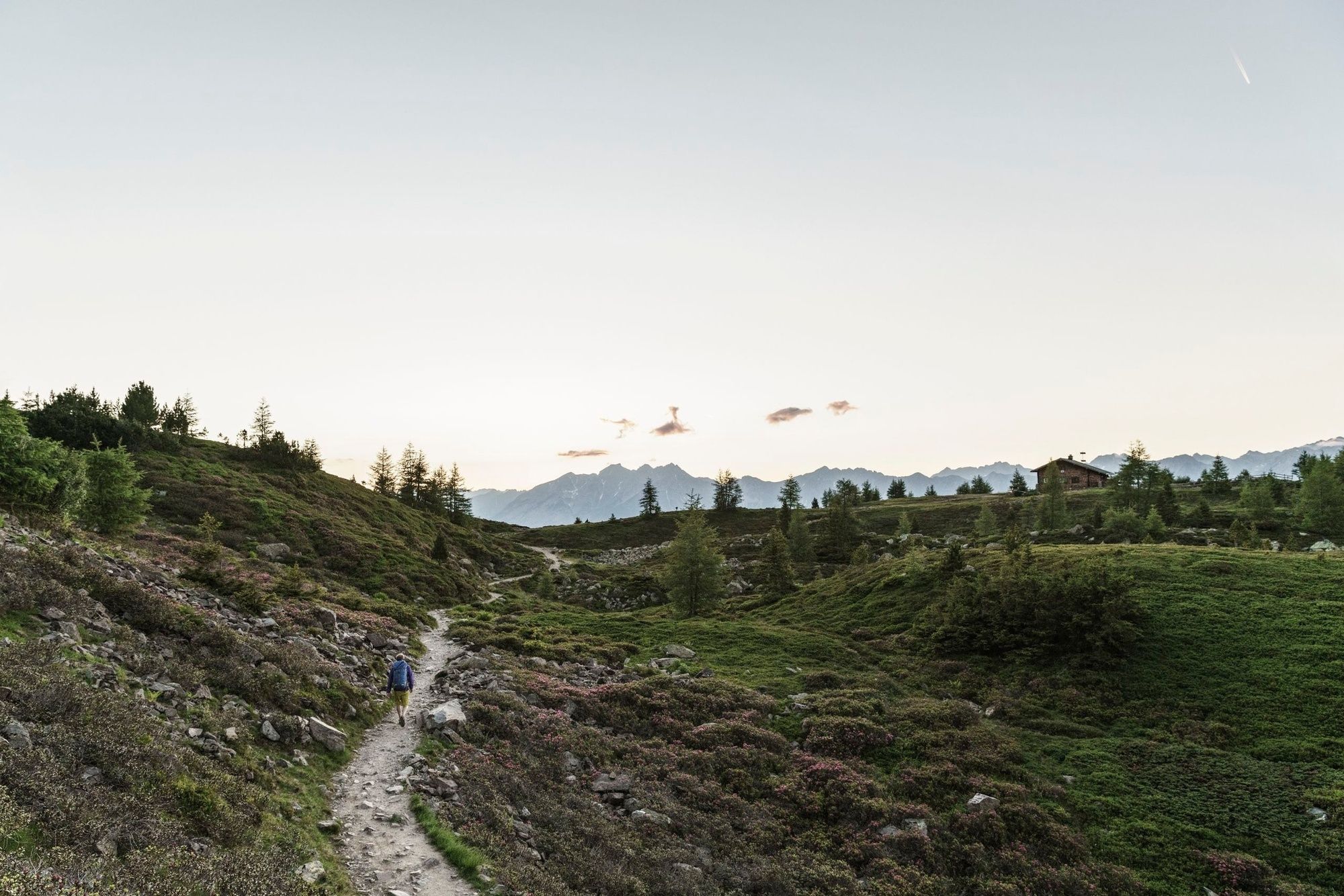
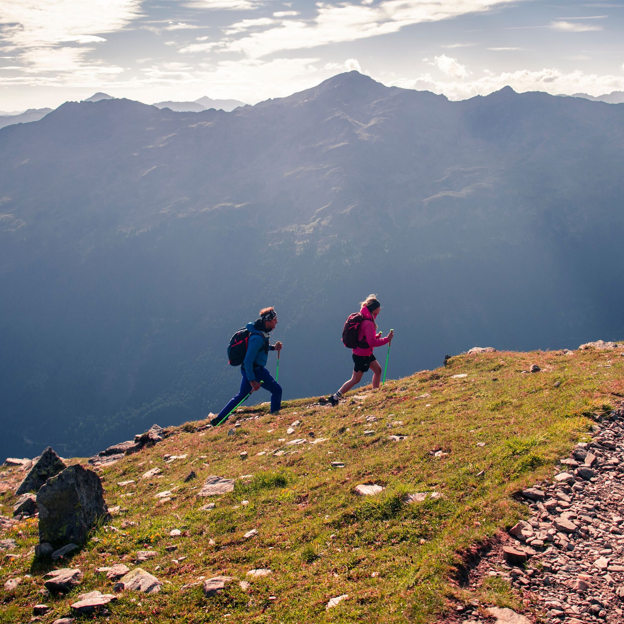
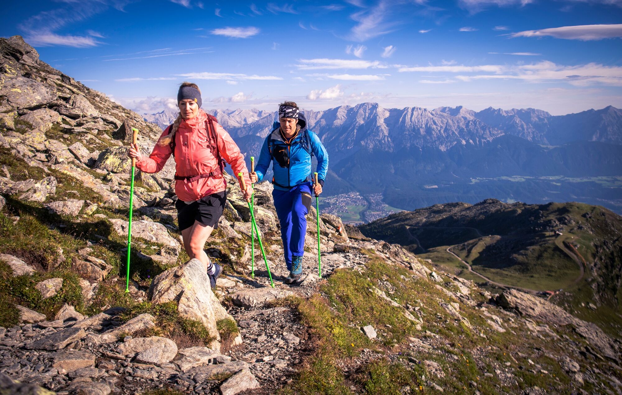
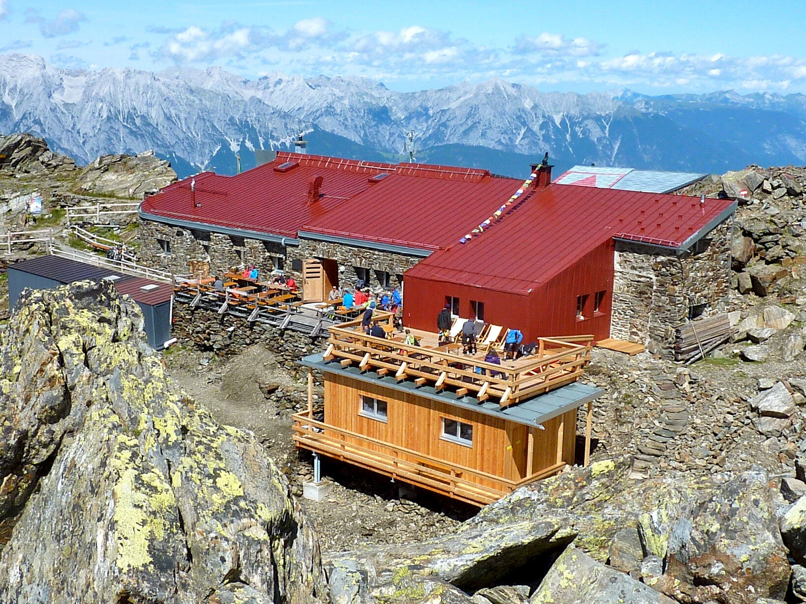
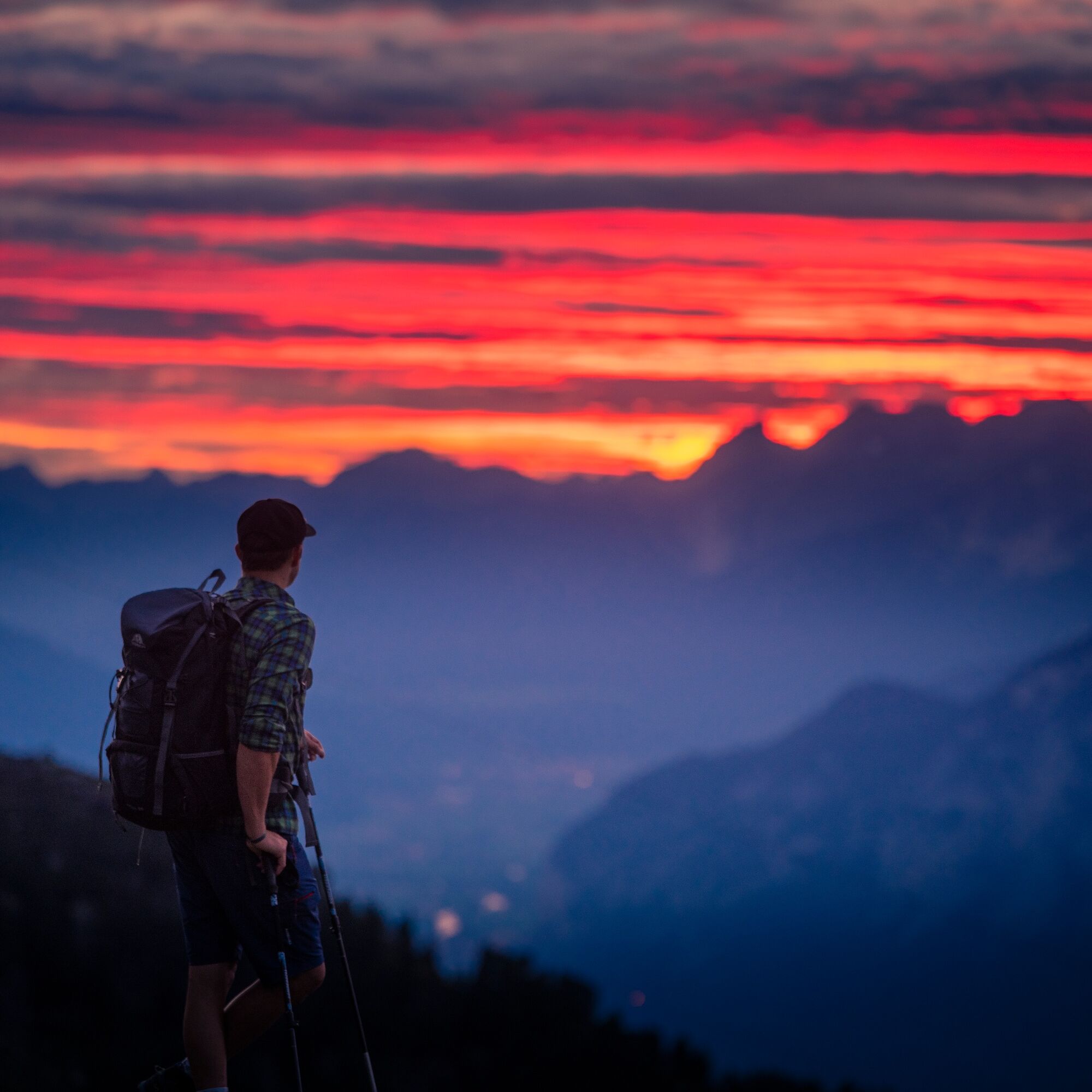
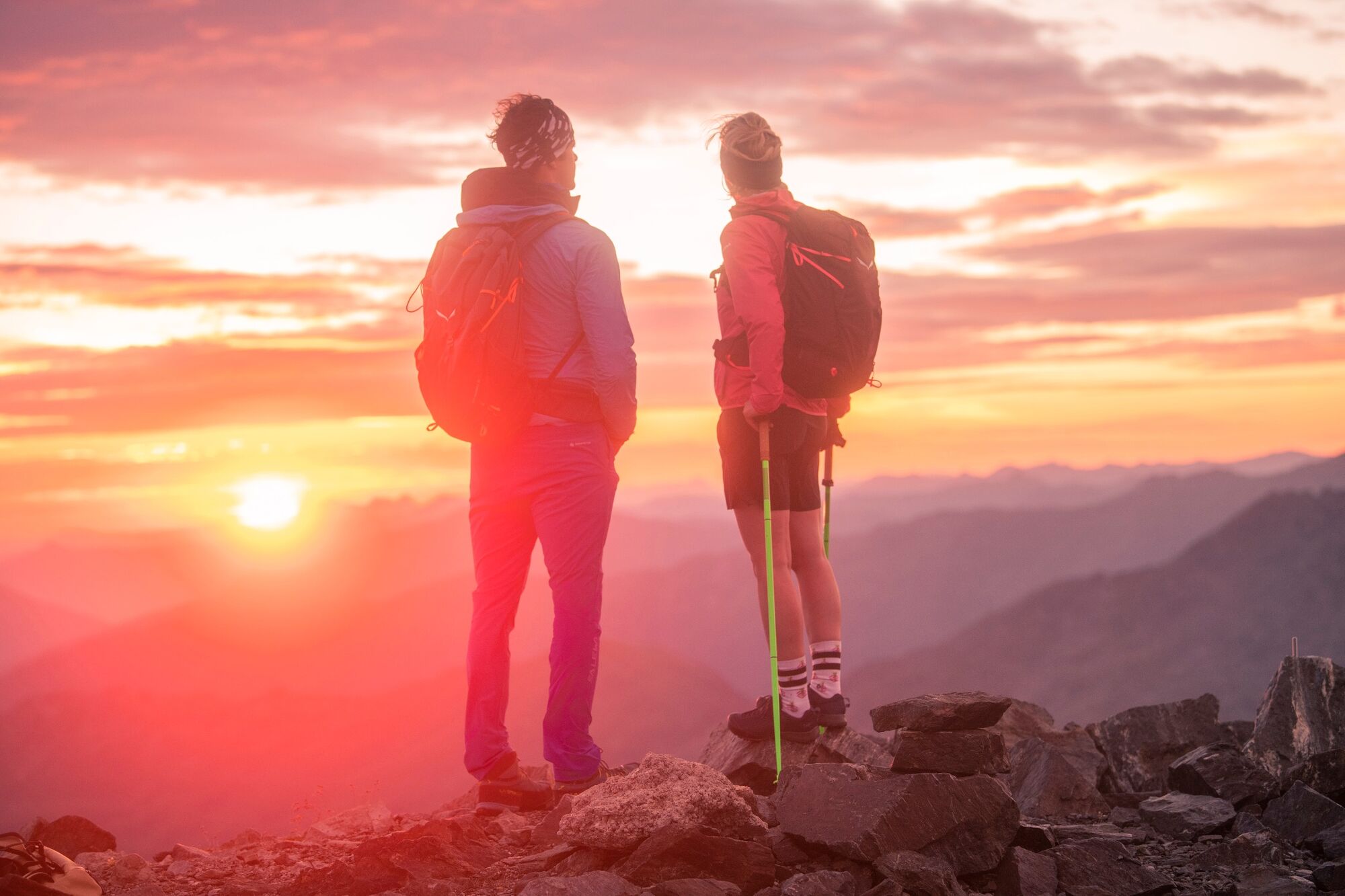
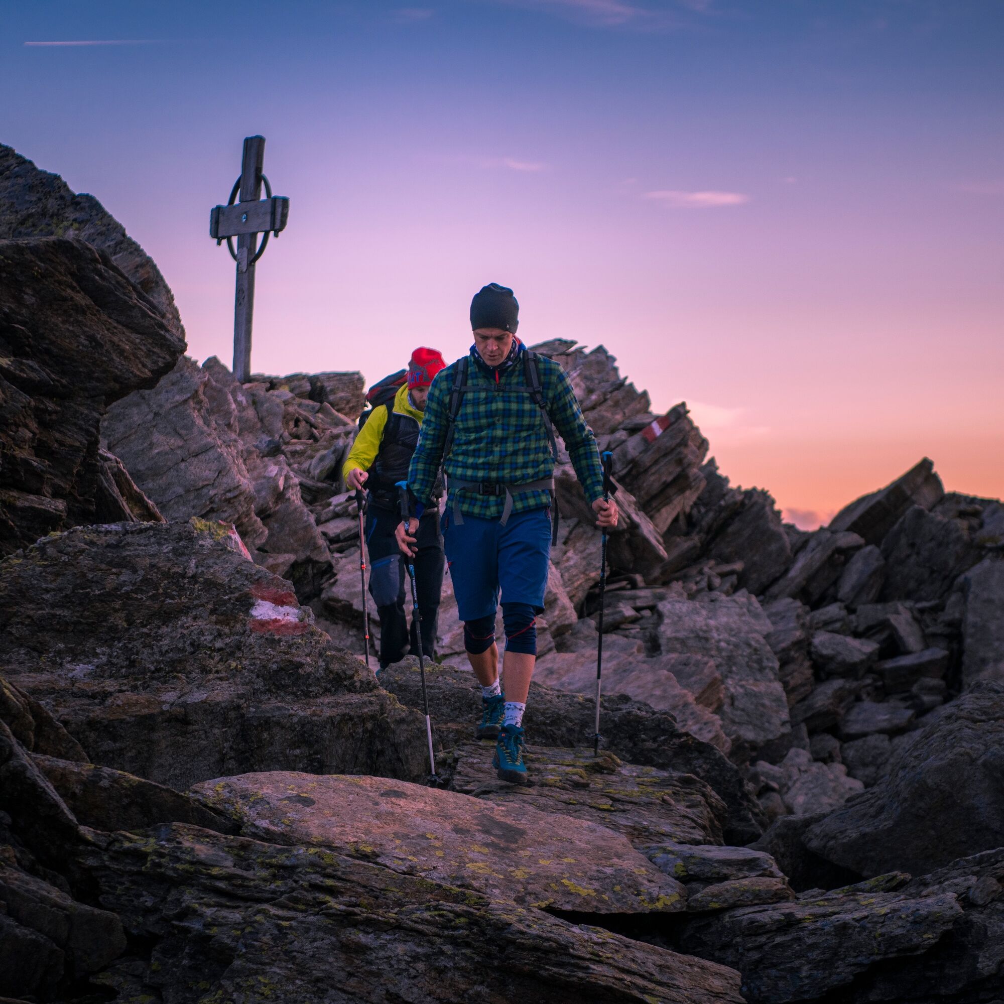
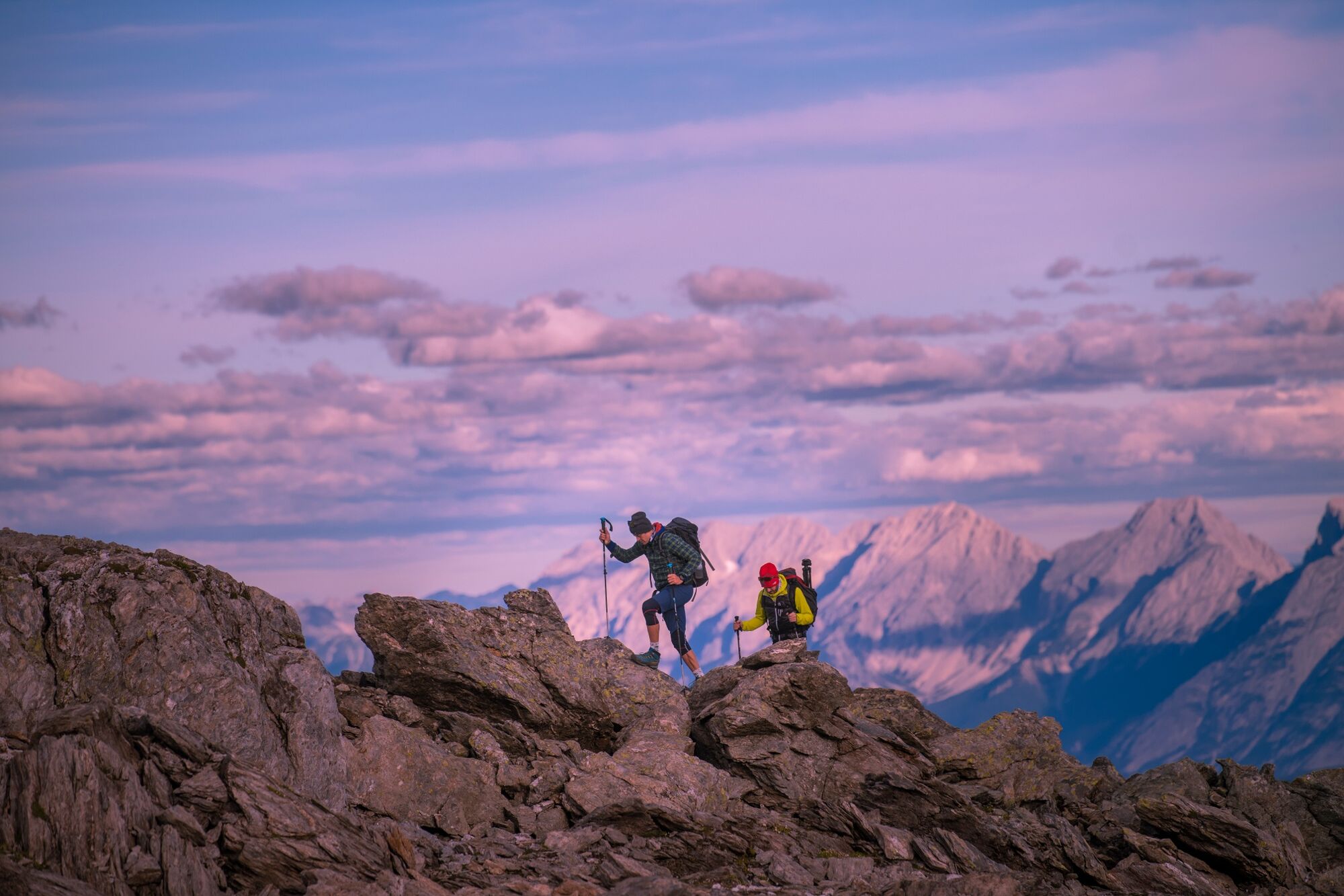
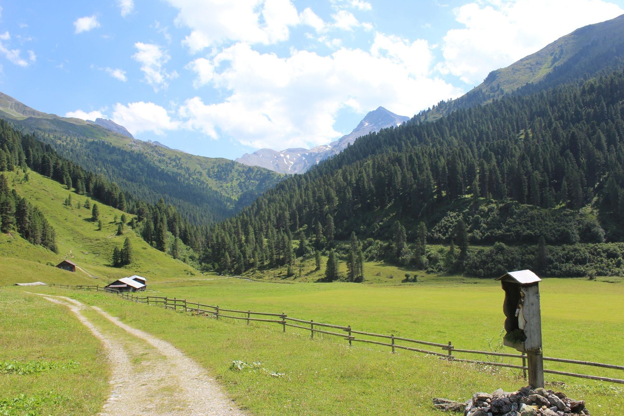
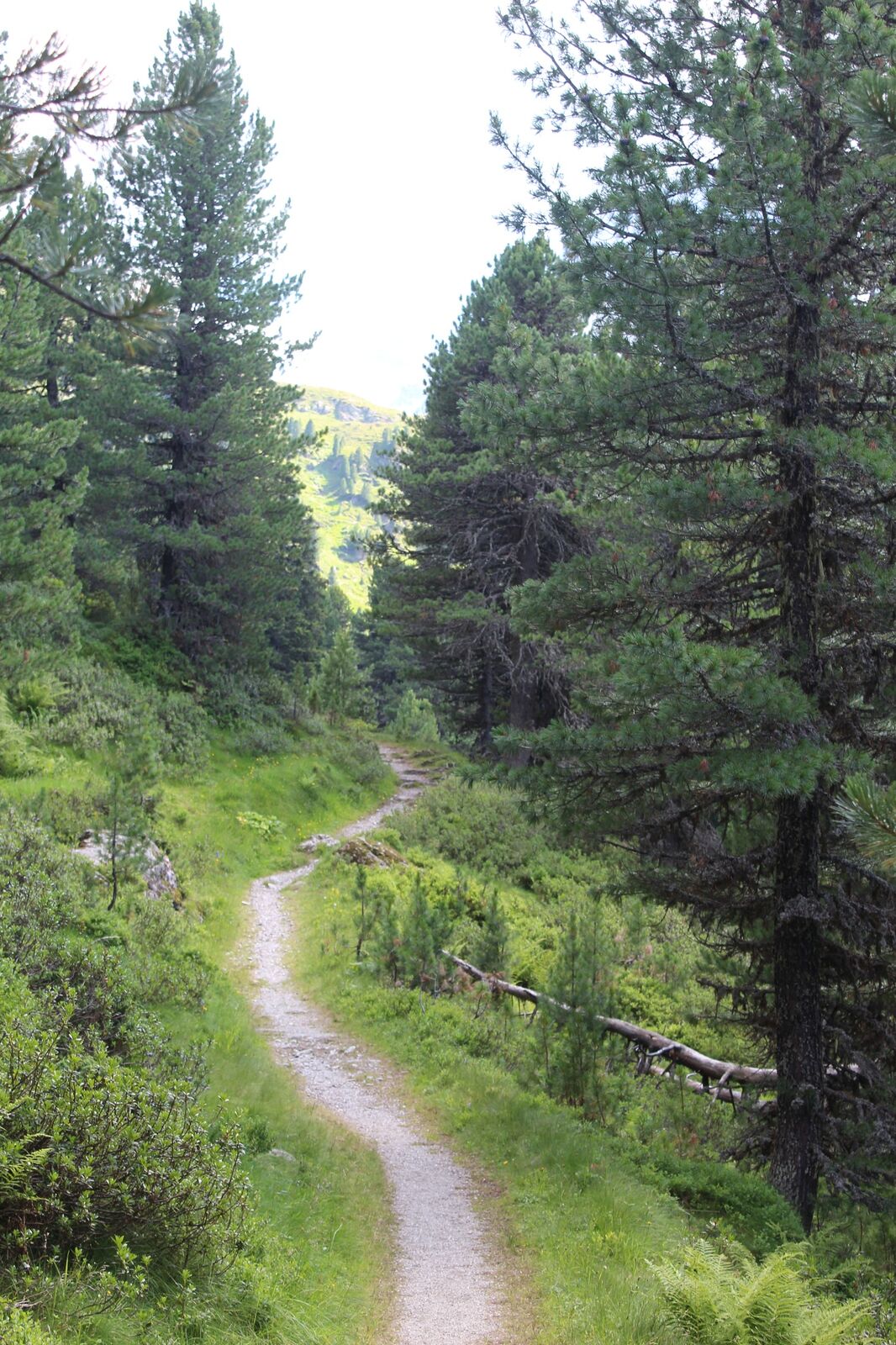
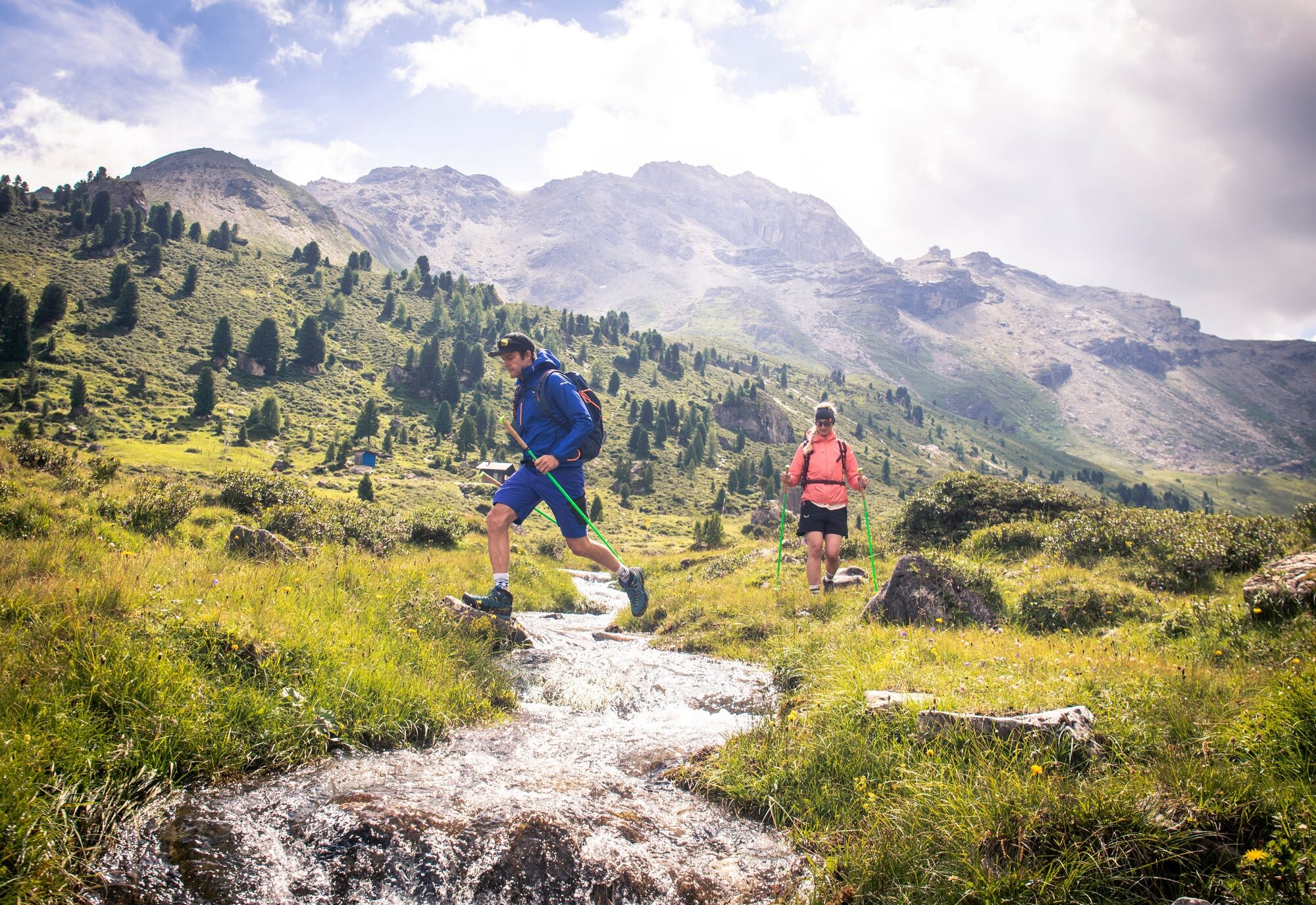
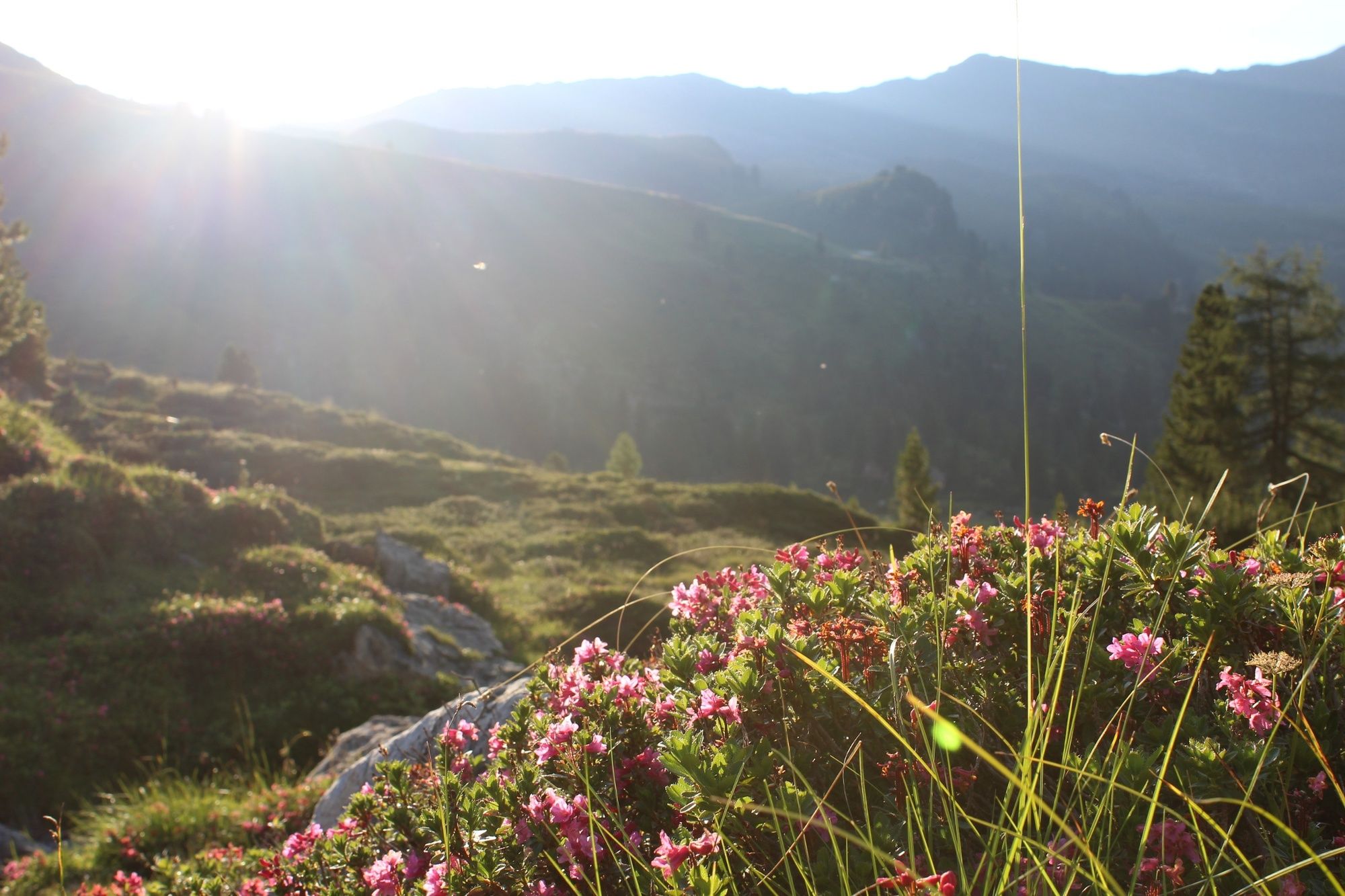
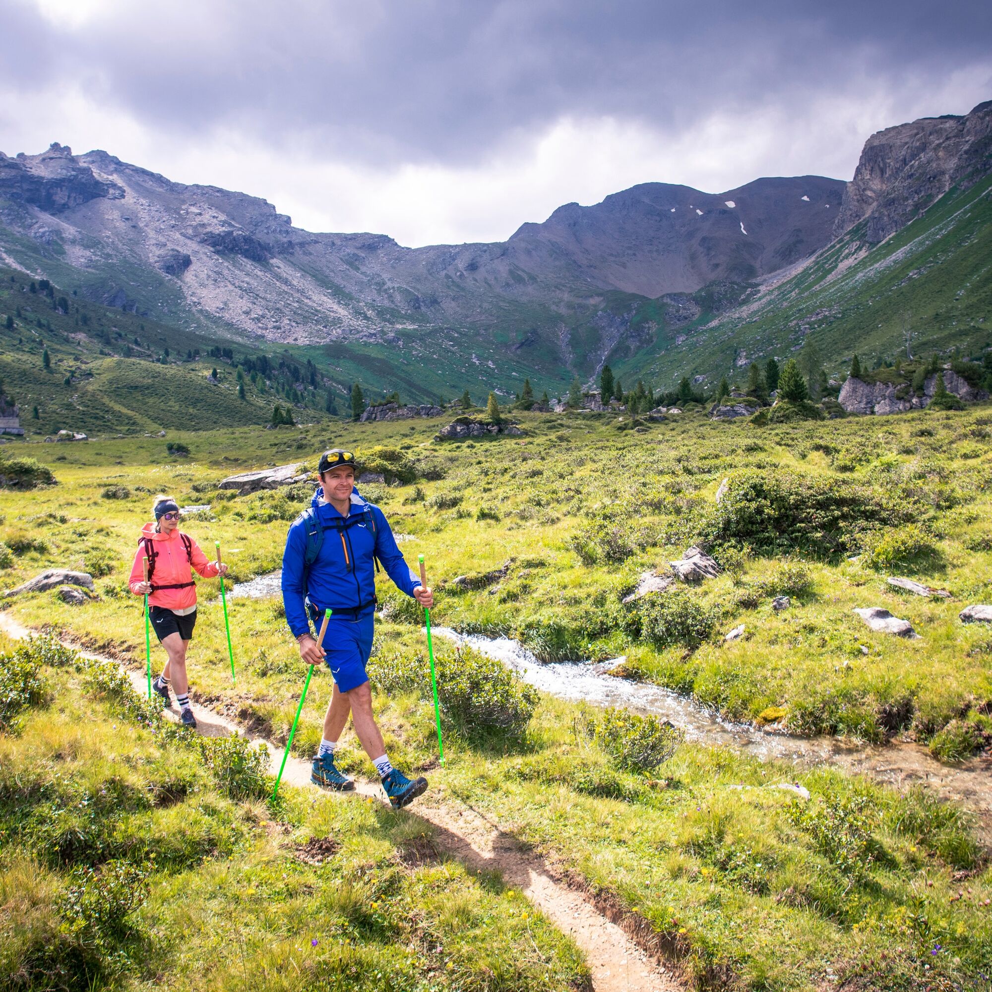
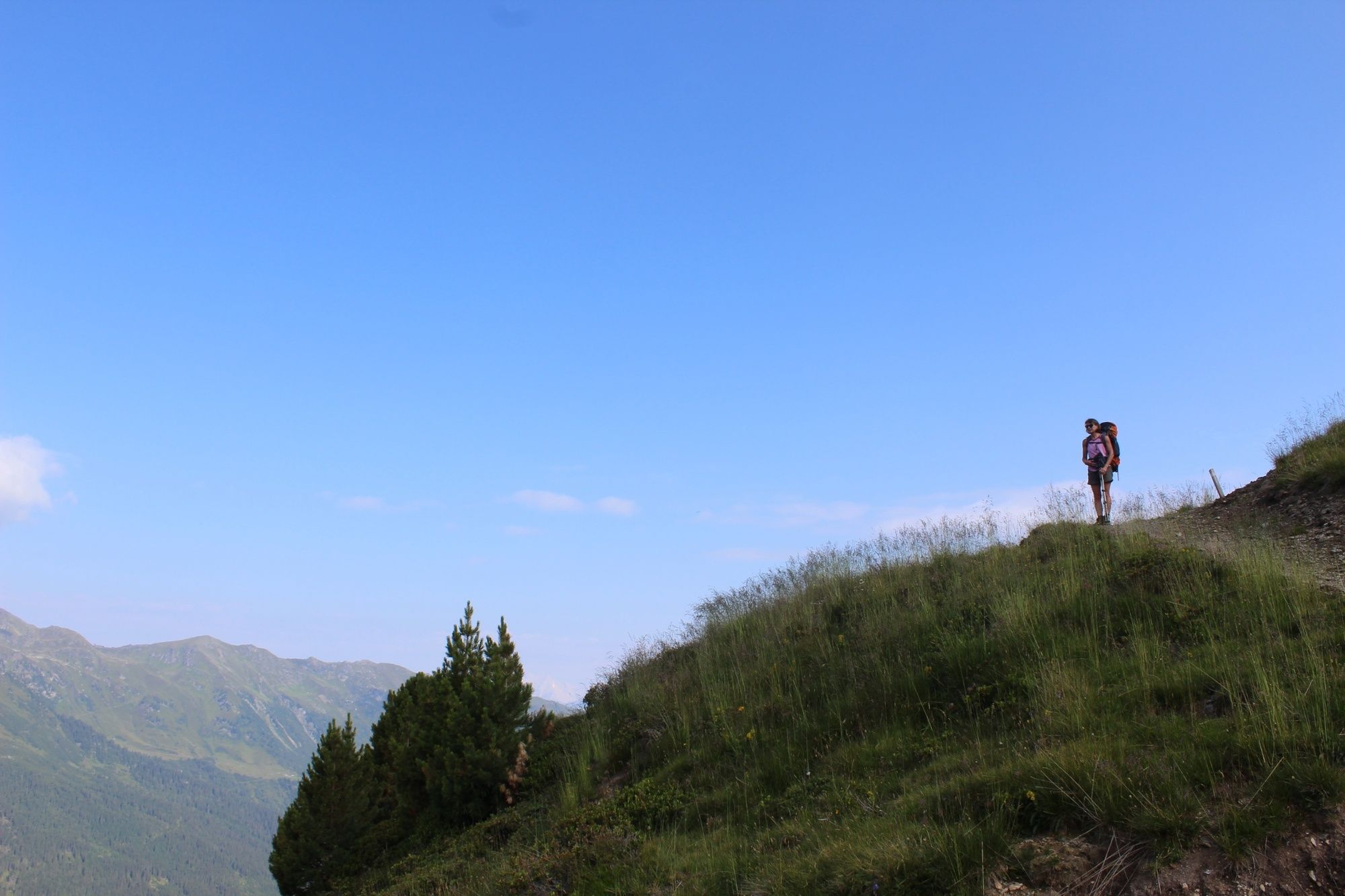
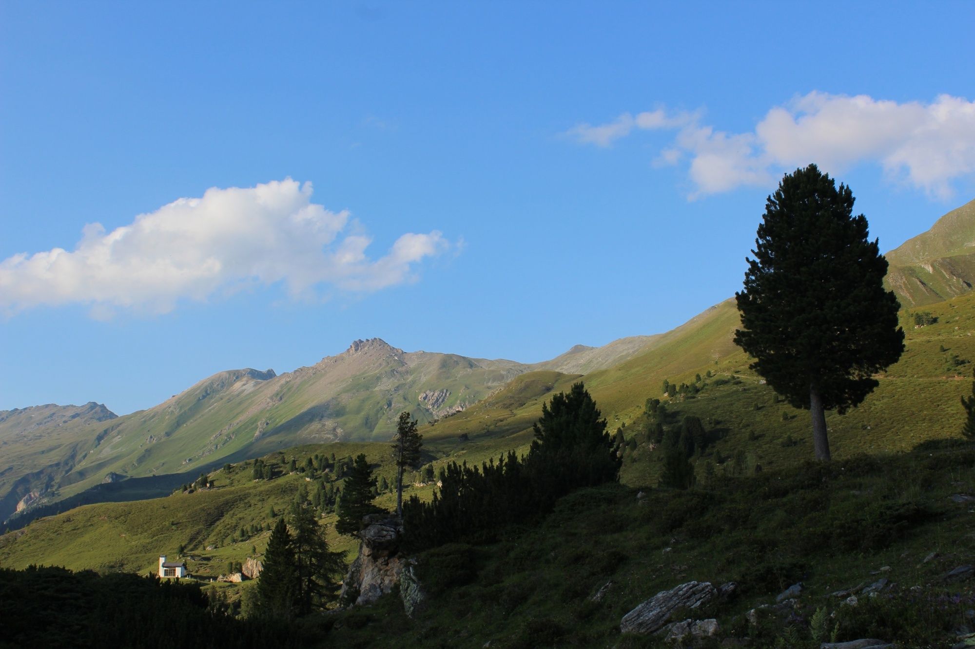
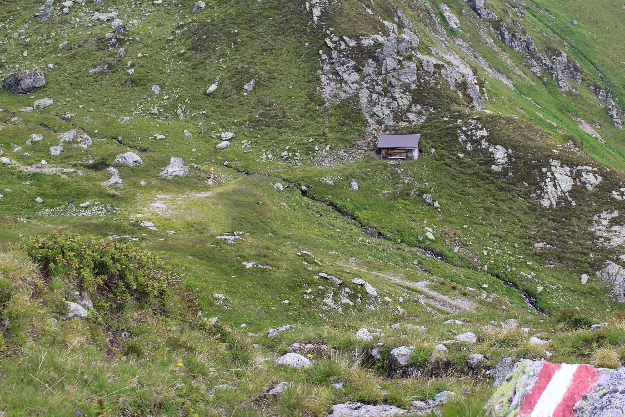
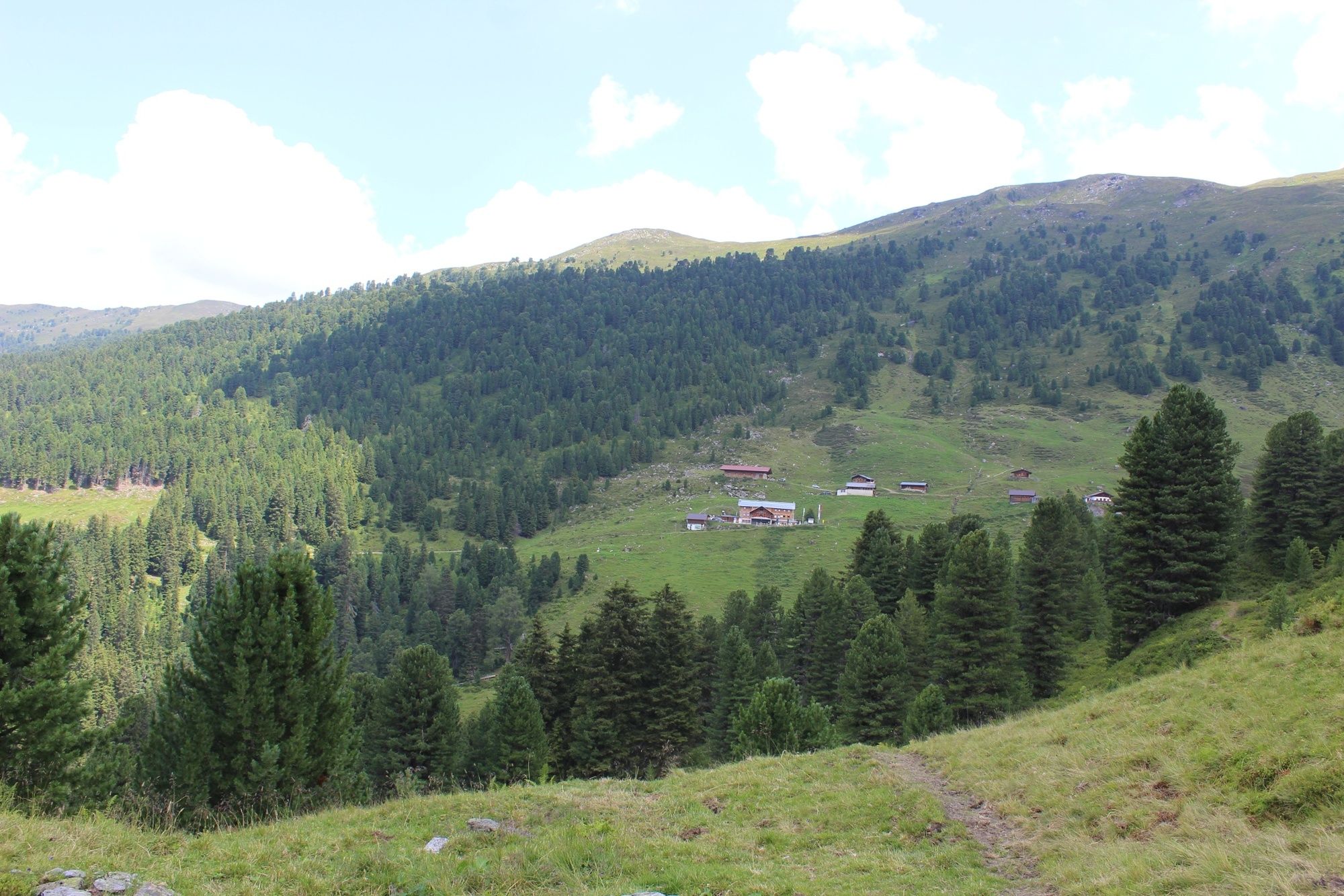
The “Inntaler Höhenweg 2000” is a 6-day high alpine trek that follows the 2,000 m contour line eastwards high above the Inntal Valley, from the Patscherkofel to the Kellerjoch and vice versa. The trail is located at altitudes between 1,800 and 2,800 m and leads through the largely unspoiled, secluded mountains of the Tux Alps
- Greutăţi
-
mediu
- Evaluare
-
- Ruta
-
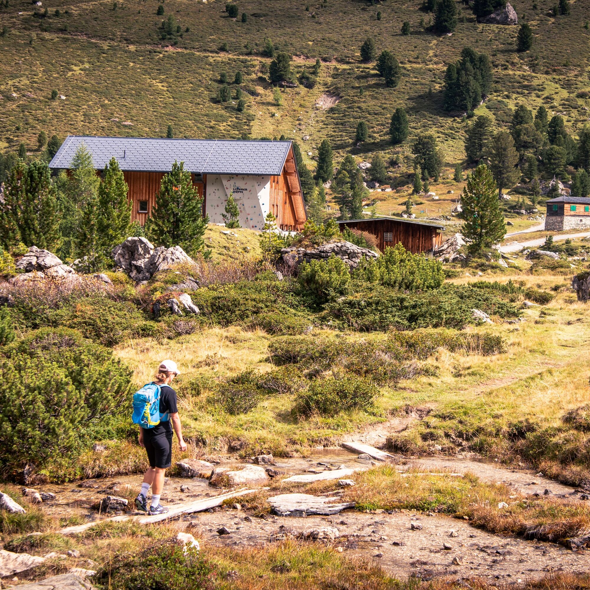
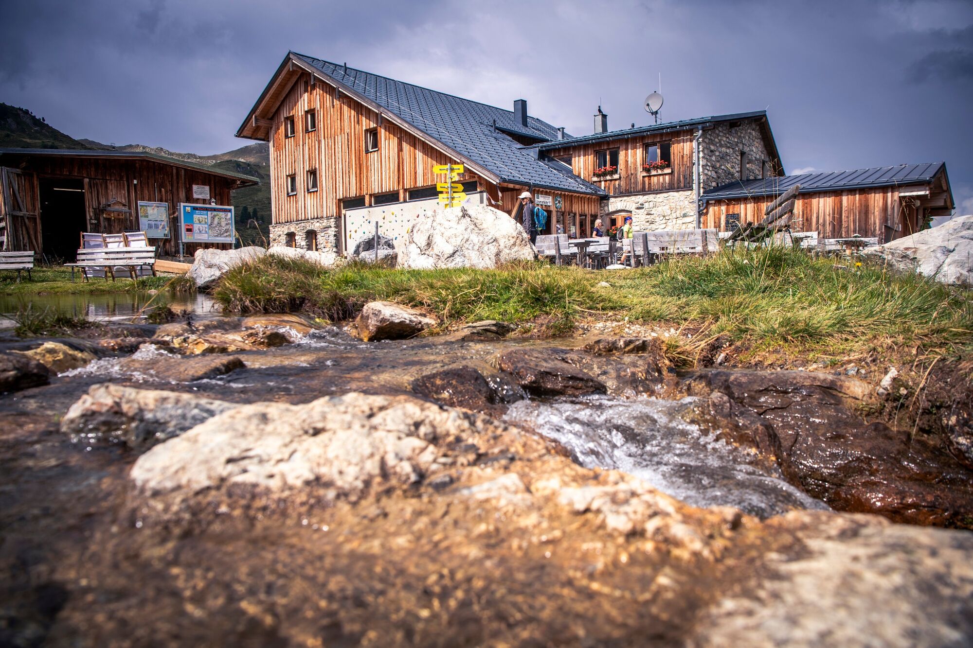
Igls (870 m)Pfarrkirche IglsÄgidihof0,1 kmPizzeria Venezia0,1 kmTee-Hütt'n3,1 kmGasthaus Heiligwasser3,6 kmHeiligwasser3,6 kmIgler Alm5,6 kmLanser Alm (1.735 m)7,3 kmPatscherkofel Schutzhaus9,0 kmBoscheben11,1 kmGlungezerhütte16,1 kmGlungezer (2.677 m)16,5 kmGamslahnerspitze (2.681 m)17,8 kmKreuzspitze (2.746 m)19,5 kmRosenjoch (2.796 m)20,3 kmGrünbergspitze (2.790 m)21,1 kmGrafmartspitze (2.720 m)21,7 kmMölsjoch (2.334 m)24,2 kmLizumer Hütte (2.019 m)30,8 kmLizumer Kirchlein31,4 kmKrovenzalm39,9 kmWeidener Hütte42,2 kmNafingalm43,5 kmHalslspitze (2.574 m)47,1 kmNurpensjoch47,7 kmRastkogel (2.762 m)48,8 kmSidanjoch (2.120 m)53,6 kmRastkogelhütte54,5 kmViertelalm Hochleger56,7 kmViertelalm Niederleger57,8 kmPfundsalm Niederleger59,0 km8er Jet60,4 kmHochfügen (1.474 m)60,7 kmLamarkalm Niederleger61,7 kmKuhmesser (2.246 m)68,2 kmKellerjochhütte69,1 kmNaunz Alm Hochleger70,7 kmNaunz Alm Niederleger71,8 km
- Cel mai bun sezon
-
ianfebmaraprmaiiuniulaugsepoctnovdec
- Cel mai înalt punct
- 2.790 m
- Profil de elevație
-

-

-
AutorTurul The Inntaler Höhenweg trail este utilizat de outdooractive.com furnizat.
GPS Downloads


Informaţii generale
Oprire pentru băuturi răcoritoare
Sfat din interior
Promițător
Mai multe tururi în regiuni
-
Tux - Finkenberg
990
-
Kolsassberg
306