© Unbekannt

© Archiv TVV, S. Theilig

© Archiv TVV, M. Daßler

© Archiv TVV, M. Daßler
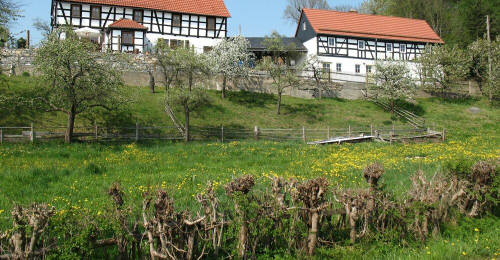
© Archiv Gemeinde Langenwolschendorf

© Archiv TVV, M. Daßler

- Scurtă descriere
-
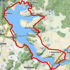
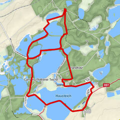
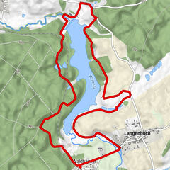
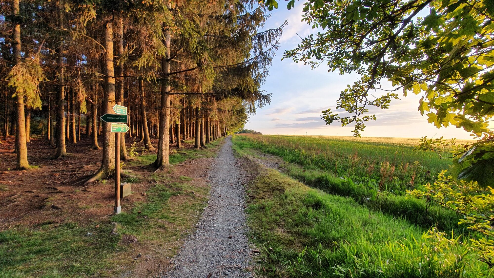
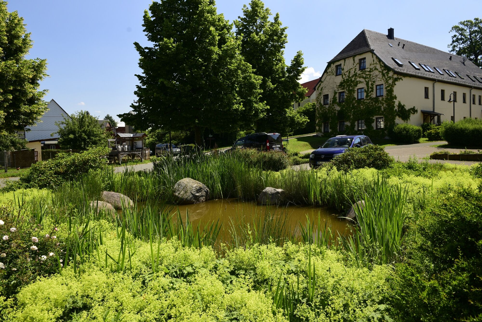
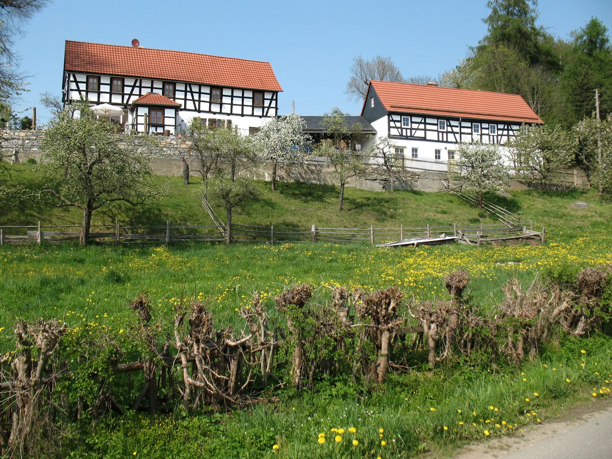
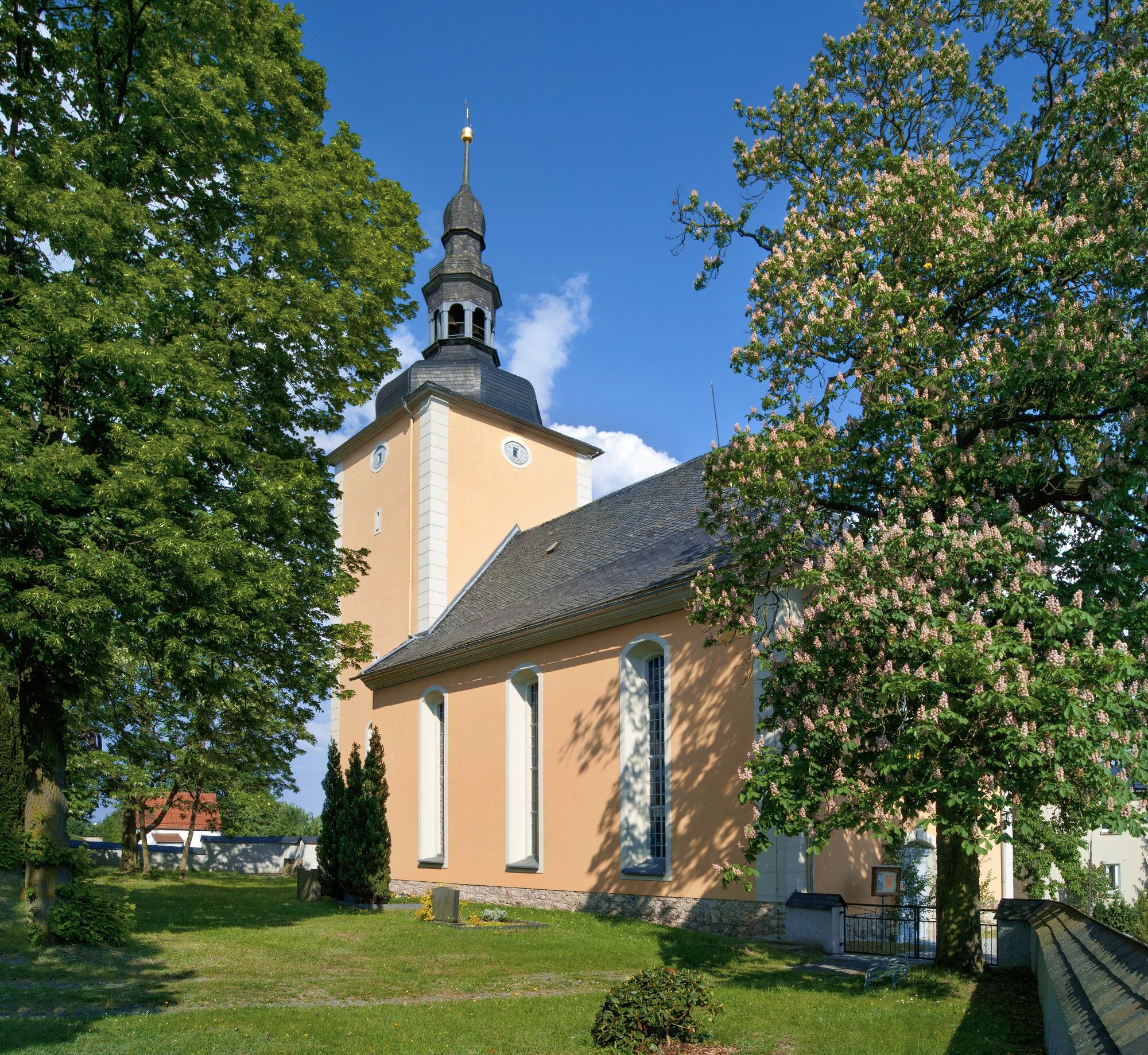
Auf sonnigen Wegen haben Sie einen weiten Ausblick über Langenwolschendorf und das umliegende Land.
- Greutăţi
-
uşor
- Evaluare
-
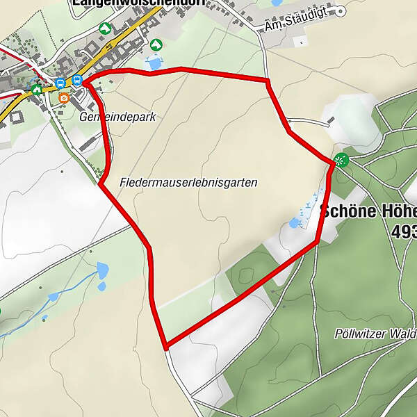
- Ruta
-
Langenwolschendorf0,1 km
- Cel mai bun sezon
-
ianfebmaraprmaiiuniulaugsepoctnovdec
- Cel mai înalt punct
- 482 m
- Destinație
-
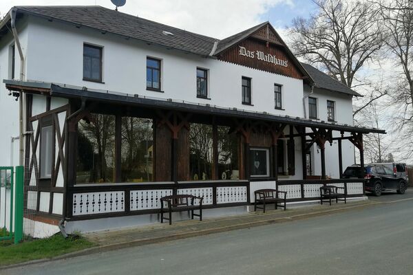
Gemeindeamt Langenwolschendorf
- Profil de elevație
-
 © outdooractive.com

- Autor
-
Turul Sonnenrundweg Langenwolschendorf este utilizat de outdooractive.com furnizat.
GPS Downloads


Informaţii generale
Sfat din interior
Promițător
Mai multe tururi în regiuni