© Switzerland Tourism - Daniel Loosli

- Scurtă descriere
-
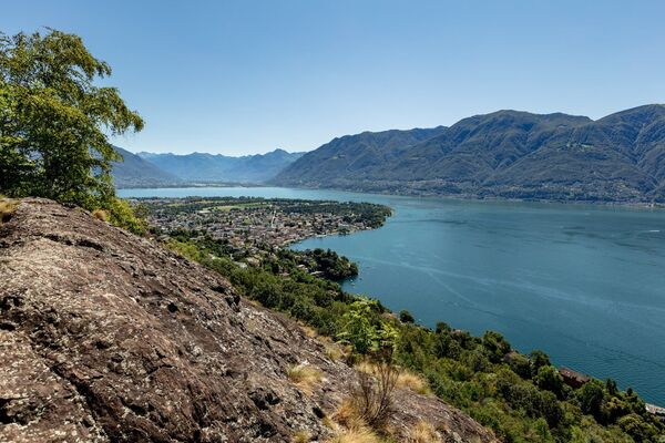
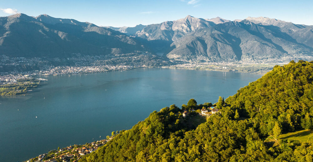
Steep slopes adorn the hilly landscape of the Gambarogno. From the former fishing villages on the lake to the most beautiful viewpoints of the region.
- Greutăţi
-
mediu
- Evaluare
-
- Ruta
-
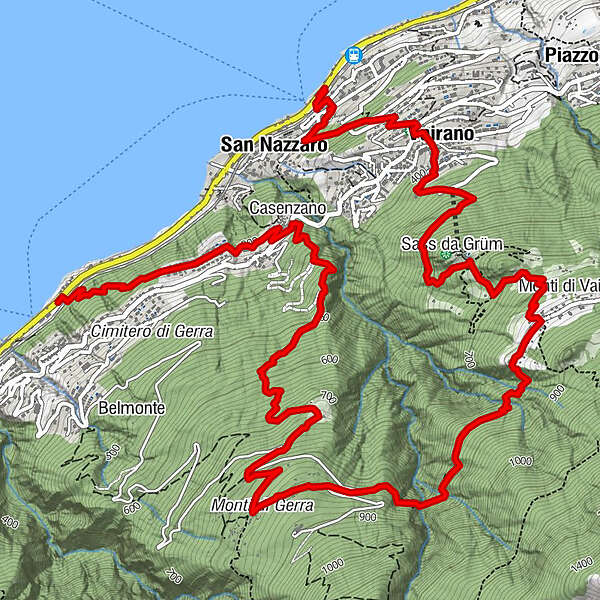
San Nazzaro (201 m)0,5 kmOsteria Viarano1,1 kmVairano (392 m)1,2 kmSass da Grüm2,4 kmSass da Grüm Restaurant2,5 kmMonti di Vairano3,1 kmCasenzano7,9 kmSan Nazzaro (201 m)7,9 km
- Cel mai bun sezon
-
ianfebmaraprmaiiuniulaugsepoctnovdec
- Cel mai înalt punct
- 854 m
- Destinație
-
Gerra (Gambarogno)
- Profil de elevație
-
 © outdooractive.com

-

-
AutorTurul San Nazzaro-Monti di Gerra-Gerra Gambarogno este utilizat de outdooractive.com furnizat.
GPS Downloads


Informaţii generale
Oprire pentru băuturi răcoritoare
Promițător
Mai multe tururi în regiuni
-
Lago Maggiore / Lombardei
745
-
Gambarogno Riviera
592
-
Gambarogno
252