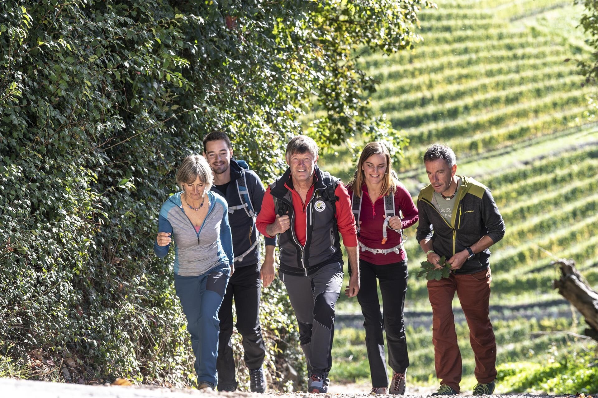
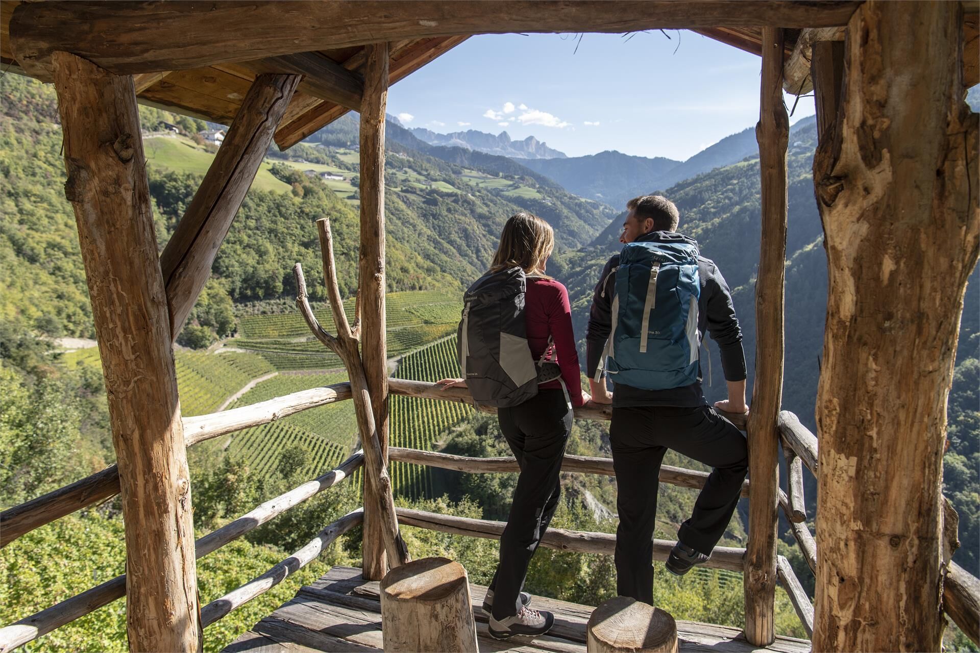
© Dolomitenregion Seiser Alm - Seiser Alm Marketing/Helmuth Rier

© Dolomitenregion Seiser Alm - Seiser Alm Marketing/Helmuth Rier

© Dolomitenregion Seiser Alm - Seiser Alm Marketing/Helmuth Rier

© Dolomitenregion Seiser Alm - Seiser Alm Marketing/Helmuth Rier

© Dolomitenregion Seiser Alm - Seiser Alm Marketing/Helmuth Rier

© Dolomitenregion Seiser Alm - Seiser Alm Marketing/Helmuth Rier

- Greutăţi
-
mediu
- Evaluare
-
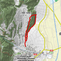
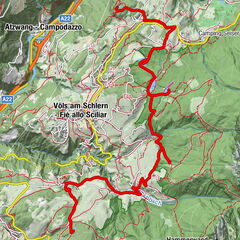
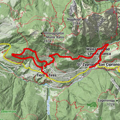
- Ruta
-
Pröslerried2,8 kmUnteraicha3,6 kmBuschenschank Innerperskolerhof5,9 kmFronthof6,6 kmSankt Nikolaus10,9 kmPrösels10,9 kmPröslerhof11,1 km
- Cel mai bun sezon
-
ianfebmaraprmaiiuniulaugsepoctnovdec
- Cel mai înalt punct
- 1.008 m
- Profil de elevație
-
 © outdooractive.com


- Autor
-
Turul Oachner Höfeweg Farm Trail este utilizat de outdooractive.com furnizat.
GPS Downloads


Mai multe tururi în regiuni
-
Bozen und Umgebung - Südtirols Süden
1938
-
Eggental
1053
-
Völs am Schlern
377