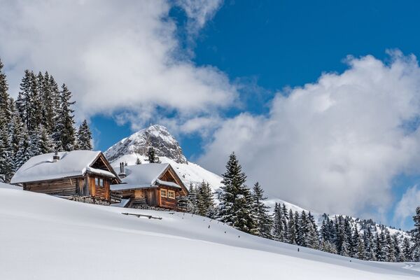
© Hotel CYPRIANERHOF - Cyprianerhof Dolomit Resort

© Hotel CYPRIANERHOF - Cyprianerhof Dolomit Resort

© Hotel CYPRIANERHOF - Cyprianerhof Dolomit Resort

- Scurtă descriere
-
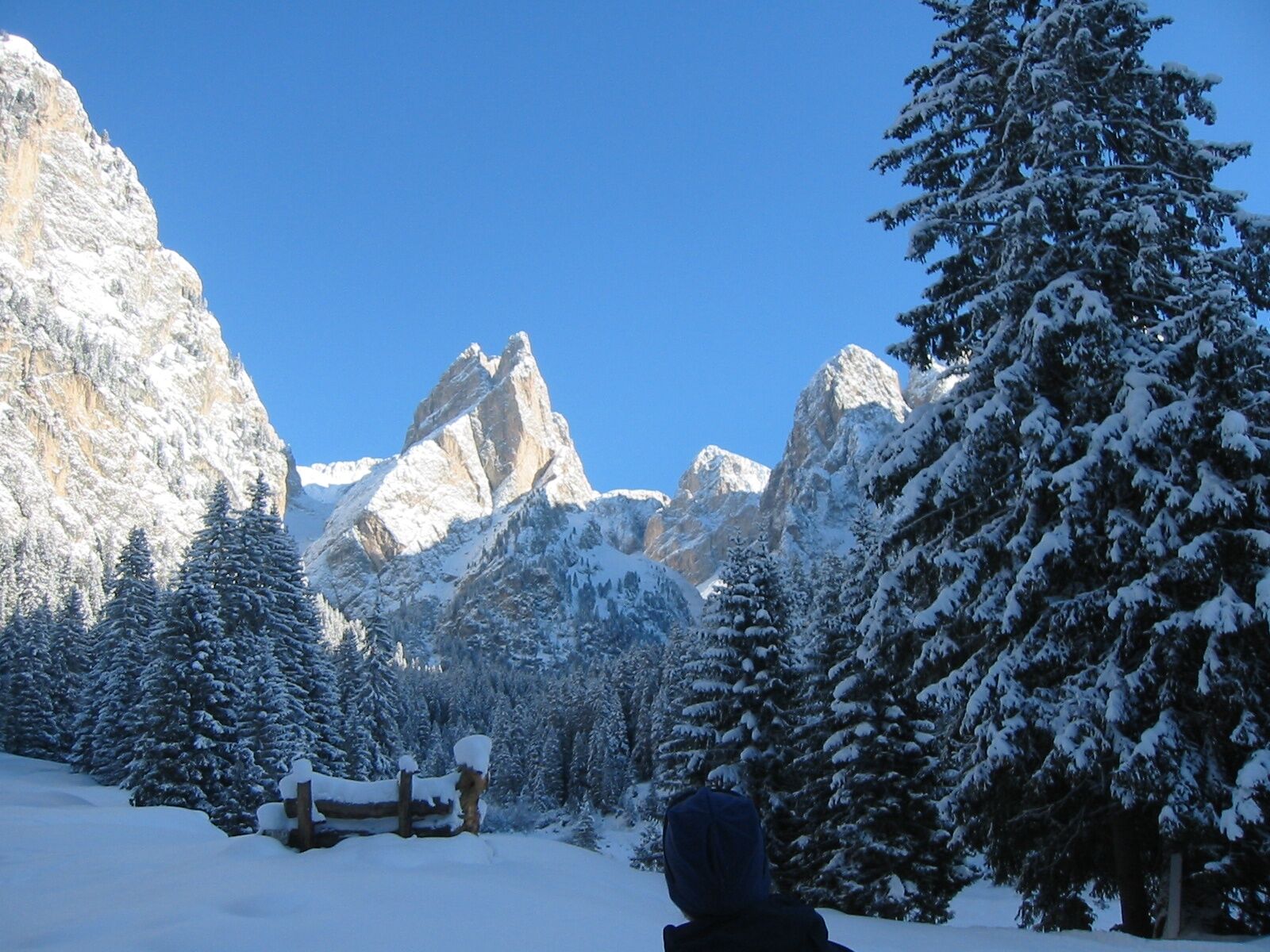
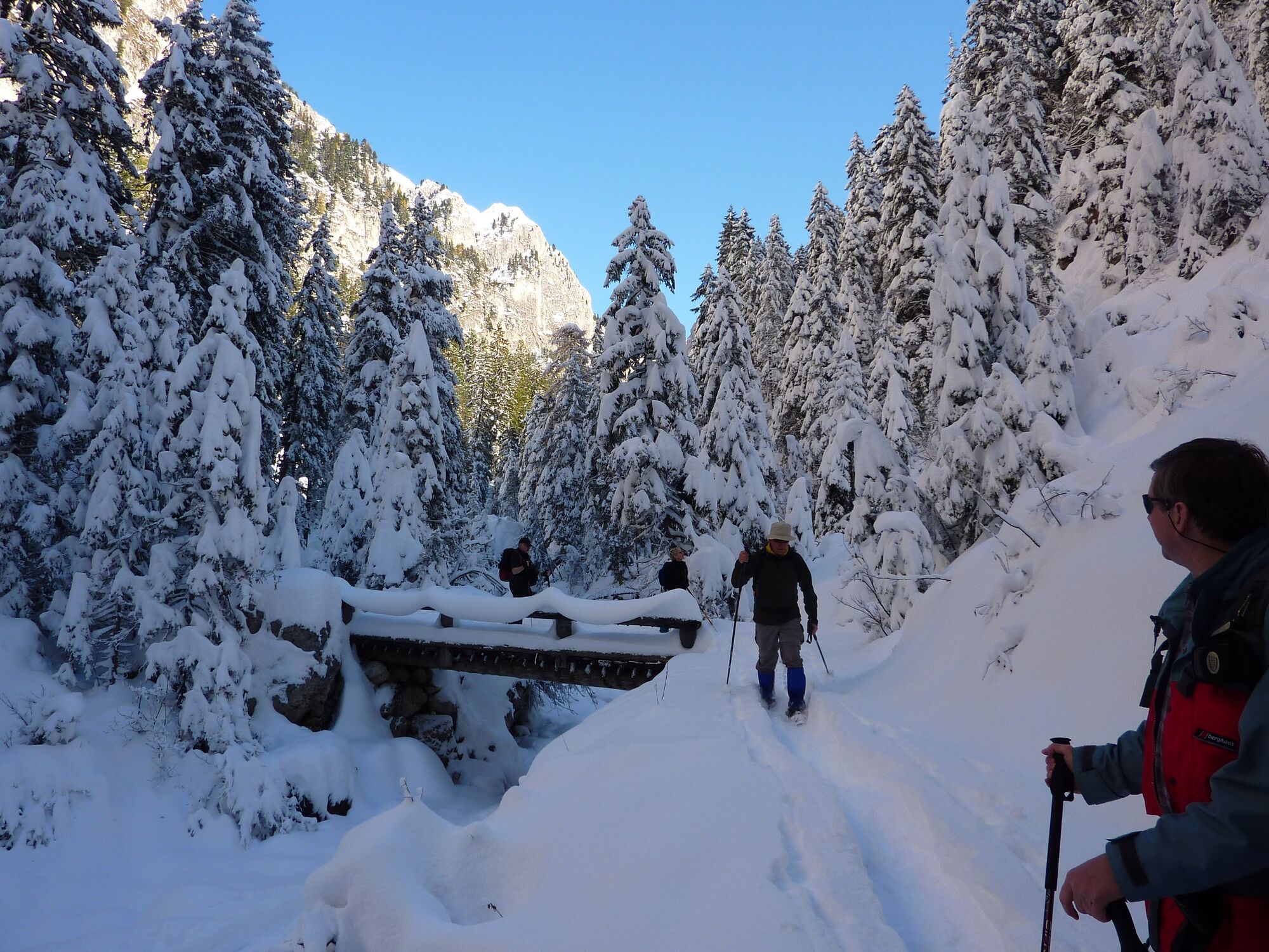
A hiking tour in the heart of the national park Sciliar
- Greutăţi
-
mediu
- Evaluare
-
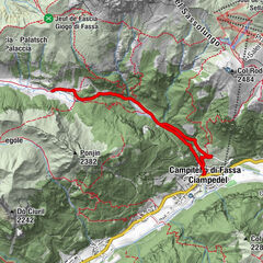
- Ruta
-
St. Zyprian0,0 kmUntertrumpedeller Schwaige2,1 kmSchwarzer Letten3,5 kmHohen Steg4,6 kmRechter Leger5,9 kmUntertrumpedeller Schwaige10,8 kmSt. Zyprian13,1 km
- Cel mai înalt punct
- 1.691 m
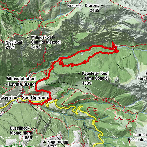
- Profil de elevație
-
 © outdooractive.com

-

-
AutorTurul Snow shoe hiking to the Valley Ciamin-Right Casual este utilizat de outdooractive.com furnizat.
GPS Downloads


Mai multe tururi în regiuni