

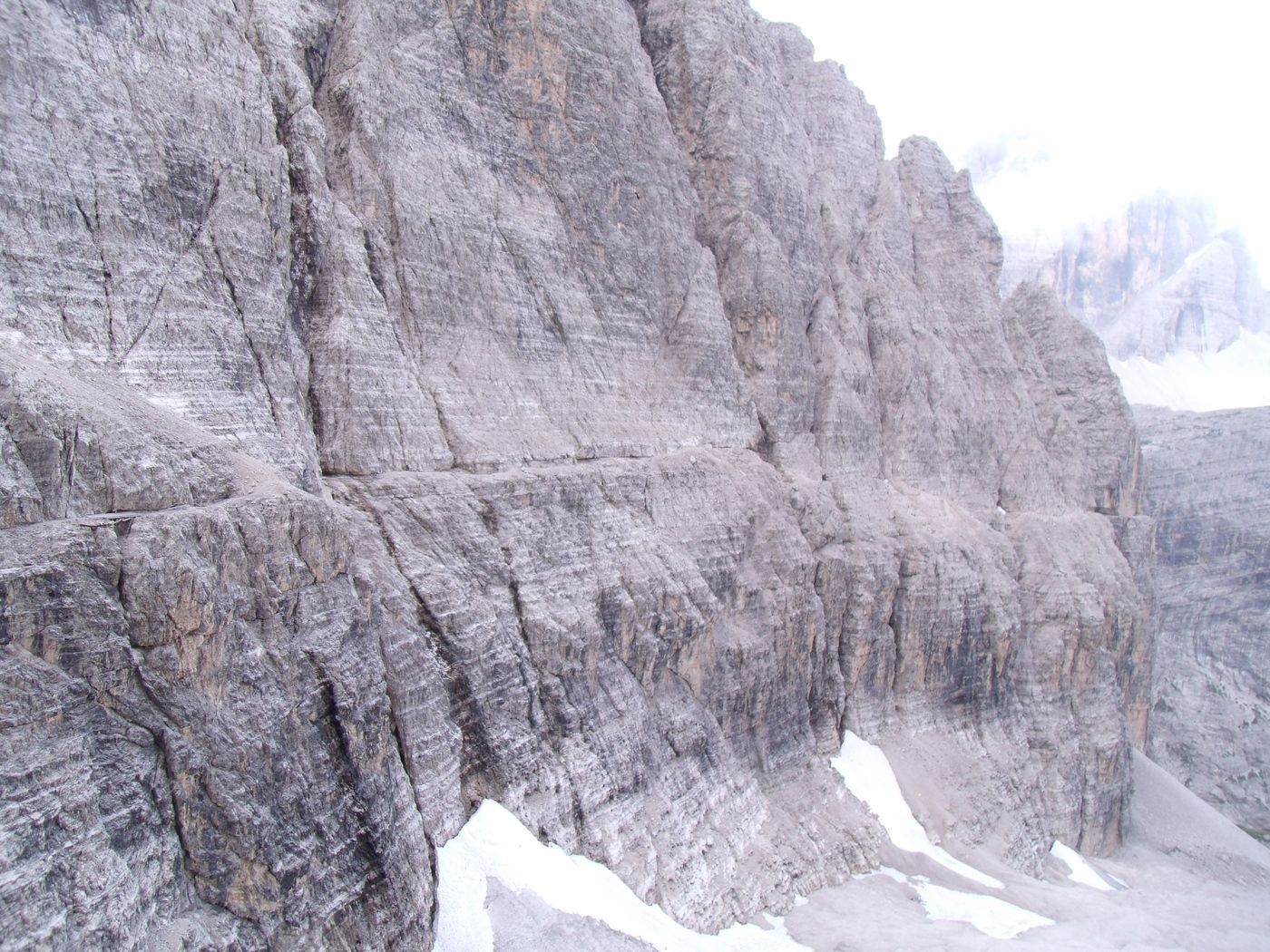
© Werner P.

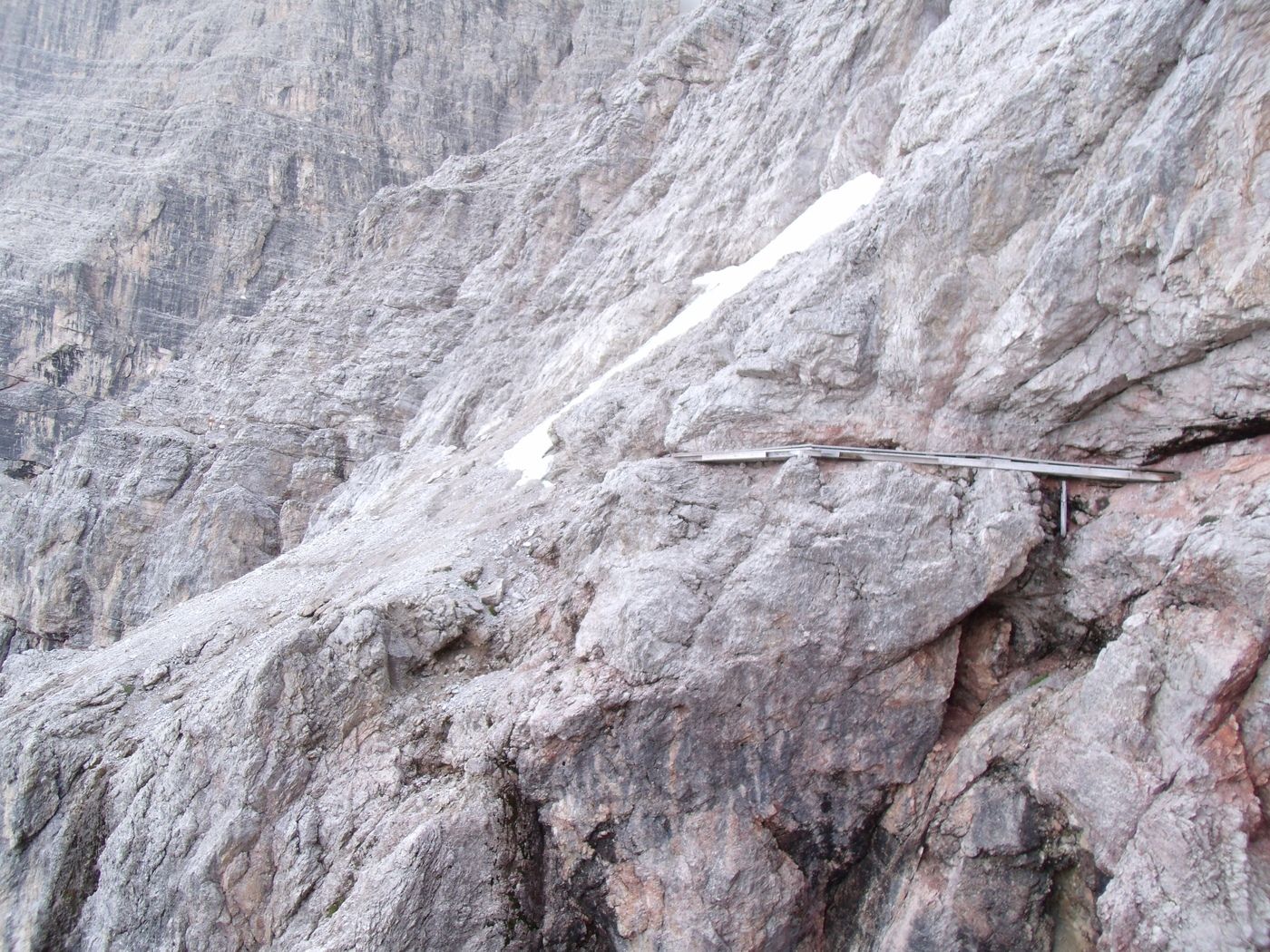
© Werner P.

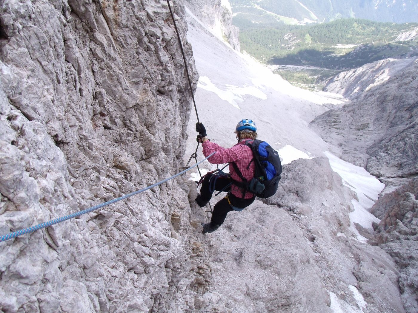
© Werner P.

© Werner P.

© Werner P.

© Werner P.

© Werner P.
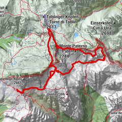
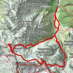
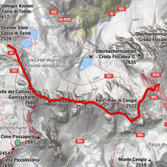
Informaţii pentru tur
9,8km
- 2.665m
730hm
05:30h

- Scurtă descriere
-
eine der großen Klettersteig-Klassiker
- Evaluare
-
- Punct de pornire
-
Zsigmondyhütte
- Cel mai înalt punct
- 2.665 m
- Odihnă/Retragere
-
Zsigmondyhütte, Rotwandwiesenhütten
- Material pentru hartă
-
freytag&berndt WKS 10, Kompass 58, Tabacco 010


GPS Downloads


Mai multe tururi în regiuni


")
