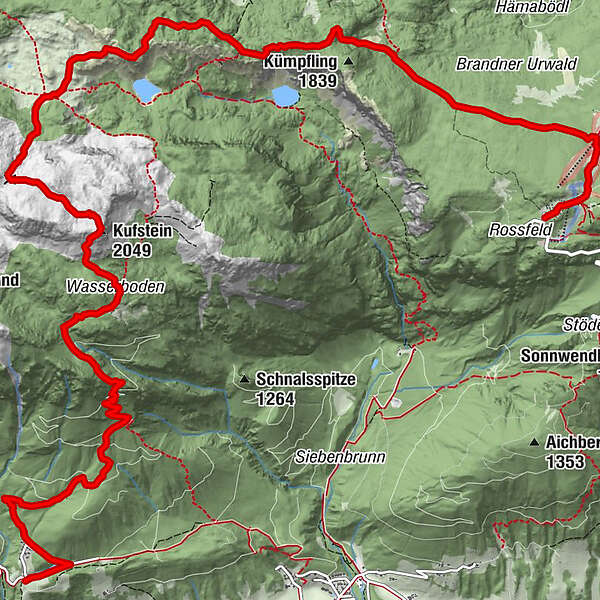
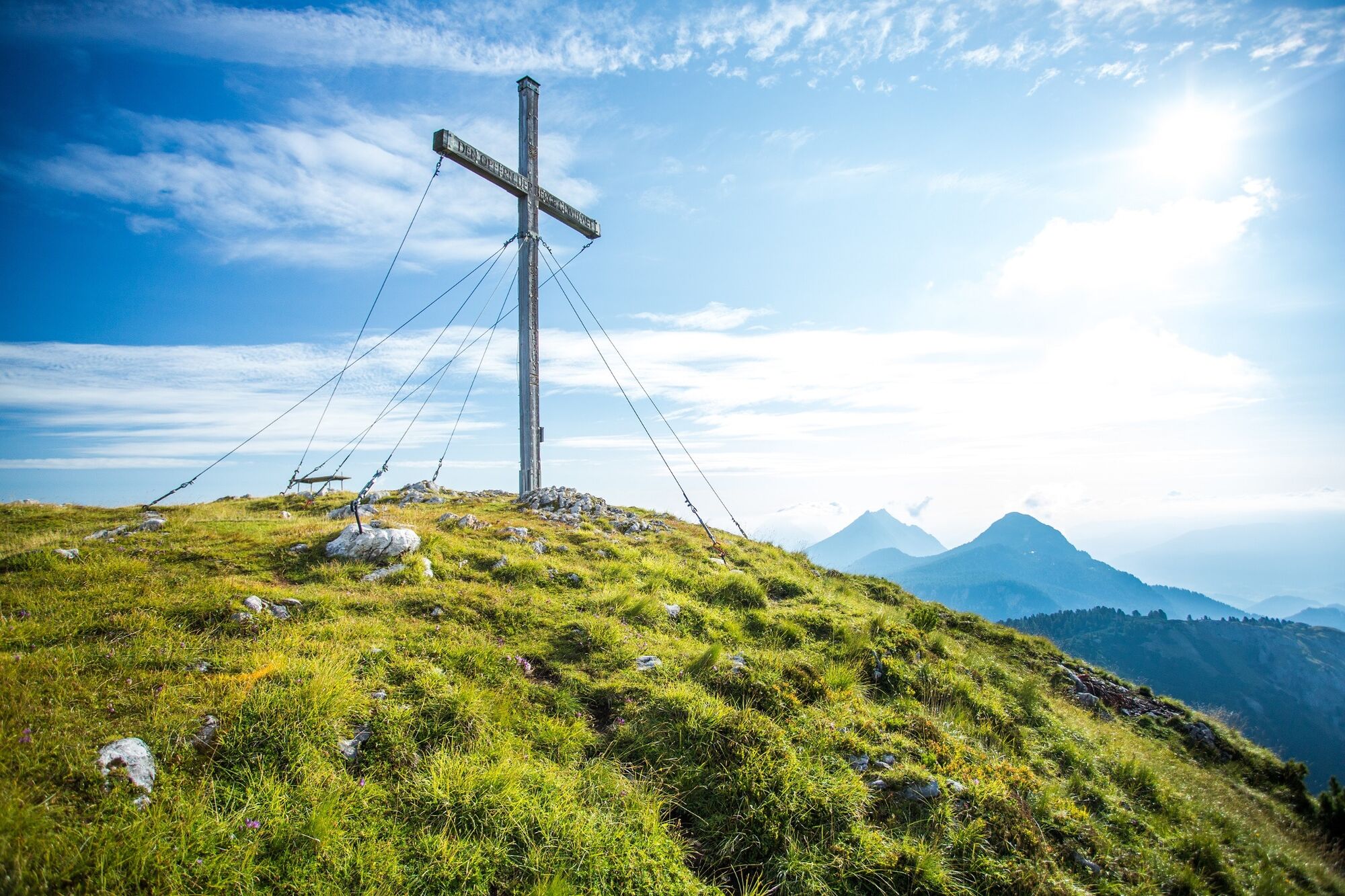
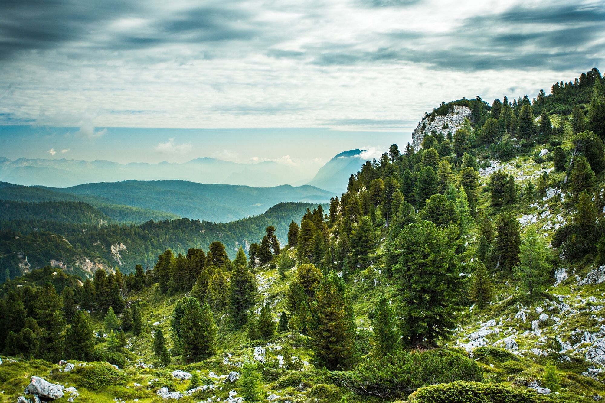
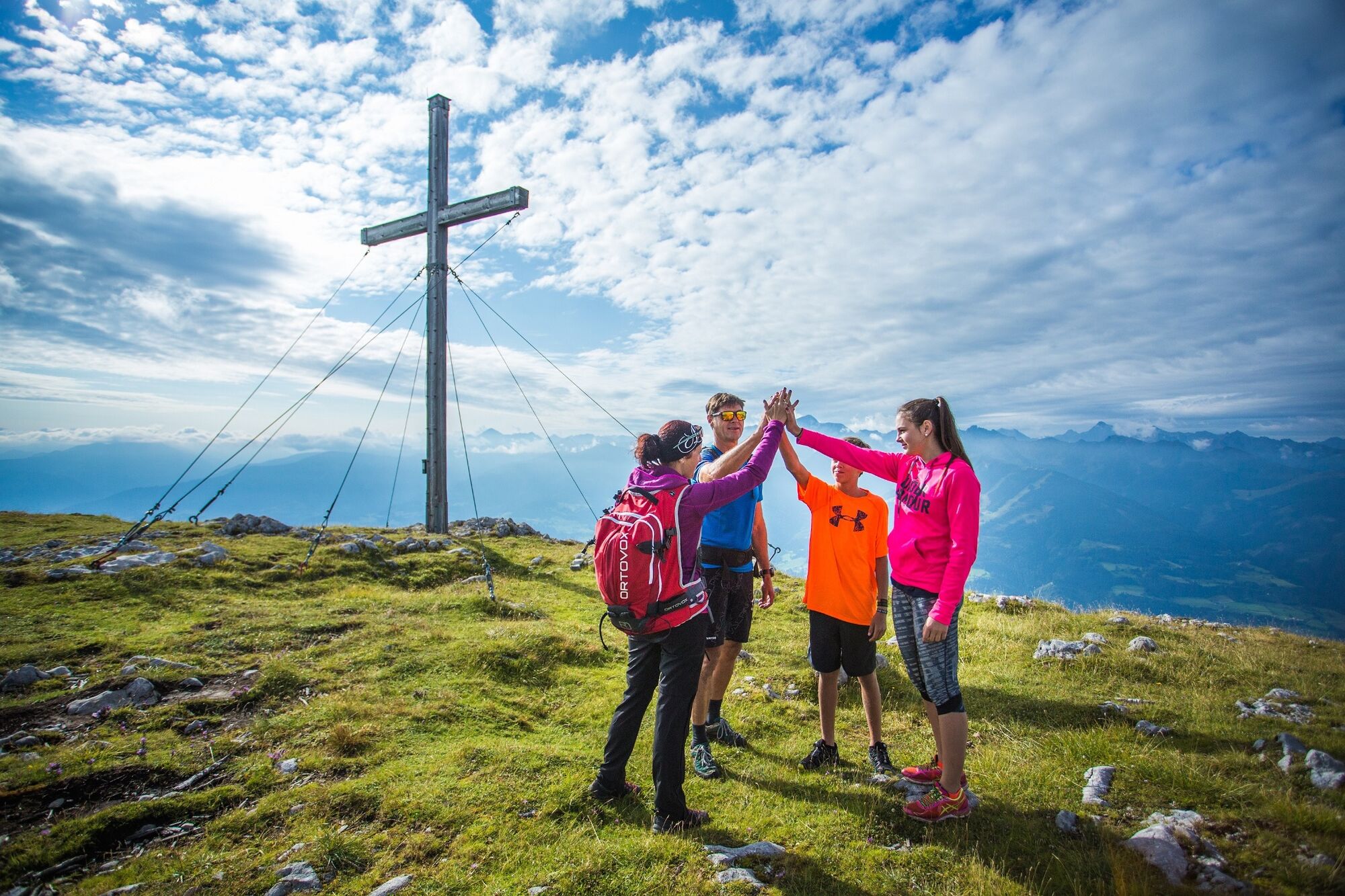
Alpine Hike from the Stoderzinken across the Grafenbergalm to the Kufstein


© TVB Haus-Aich-Gössenberg - René Eduard Perhab

© TVB Haus-Aich-Gössenberg - René Eduard Perhab

© TVB Haus-Aich-Gössenberg - René Eduard Perhab

© TVB Haus-Aich-Gössenberg - René Eduard Perhab

© TVB Haus-Aich-Gössenberg - René Eduard Perhab

© Privat - Schladming Dachstein - TVB Haus

© TVB Haus-Aich-Gössenberg - René Eduard Perhab
- Scurtă descriere
-
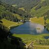
Beautiful alpine hike through forest, to the high pastures and mountain tarns of the Grafenberg Alm. In early summer, especially, this area is full of flowers and truly something to see.
- Greutăţi
-
greu
- Evaluare
-
- Ruta
-
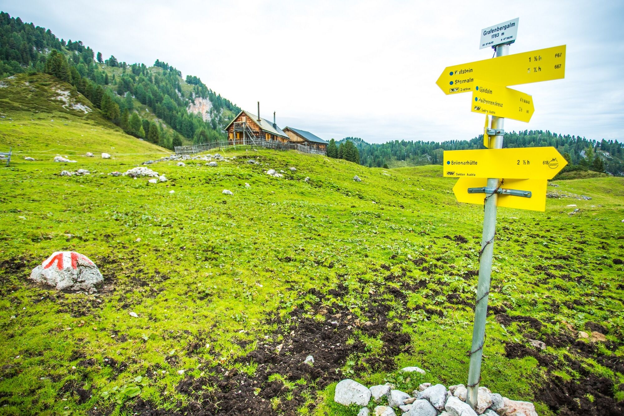
Stoder0,1 kmBerggasthof Steinerhaus0,1 kmBrünner Hütte1,0 kmSchwiegermuttersprung4,4 kmGrafenbergalm7,0 kmKufsteinscharte (2.004 m)7,9 kmKufstein (2.049 m)9,0 kmWasserbode9,9 km
- Cel mai bun sezon
-
ianfebmaraprmaiiuniulaugsepoctnovdec
- Cel mai înalt punct
- 2.038 m
- Destinație
-
Burgstaller Ramsau Rössing
- Profil de elevație
-

-
-
AutorTurul Alpine Hike from the Stoderzinken across the Grafenbergalm to the Kufstein este utilizat de outdooractive.com furnizat.
GPS Downloads


Informaţii generale
Oprire pentru băuturi răcoritoare
Flora
Fauna
Promițător
Mai multe tururi în regiuni
-
Schladming - Dachstein
3002
-
Haus - Aich
1368
-
Haus im Ennstal
372


