© Erlebnisregion Schladming-Dachstein - Schladming Dachstein
© Erlebnisregion Schladming-Dachstein - Schladming Dachstein - TVB Gröbminger Land

© Erlebnisregion Schladming-Dachstein - Schladming Dachstein - TVB Gröbminger Land

© Erlebnisregion Schladming-Dachstein - Schladming Dachstein - TVB Gröbminger Land

© Erlebnisregion Schladming-Dachstein - Schladming Dachstein - TVB Gröbminger Land

© Erlebnisregion Schladming-Dachstein - Schladming Dachstein - TVB Gröbminger Land

- Scurtă descriere
-
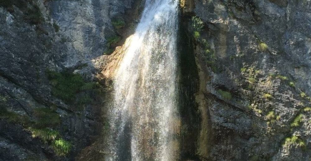
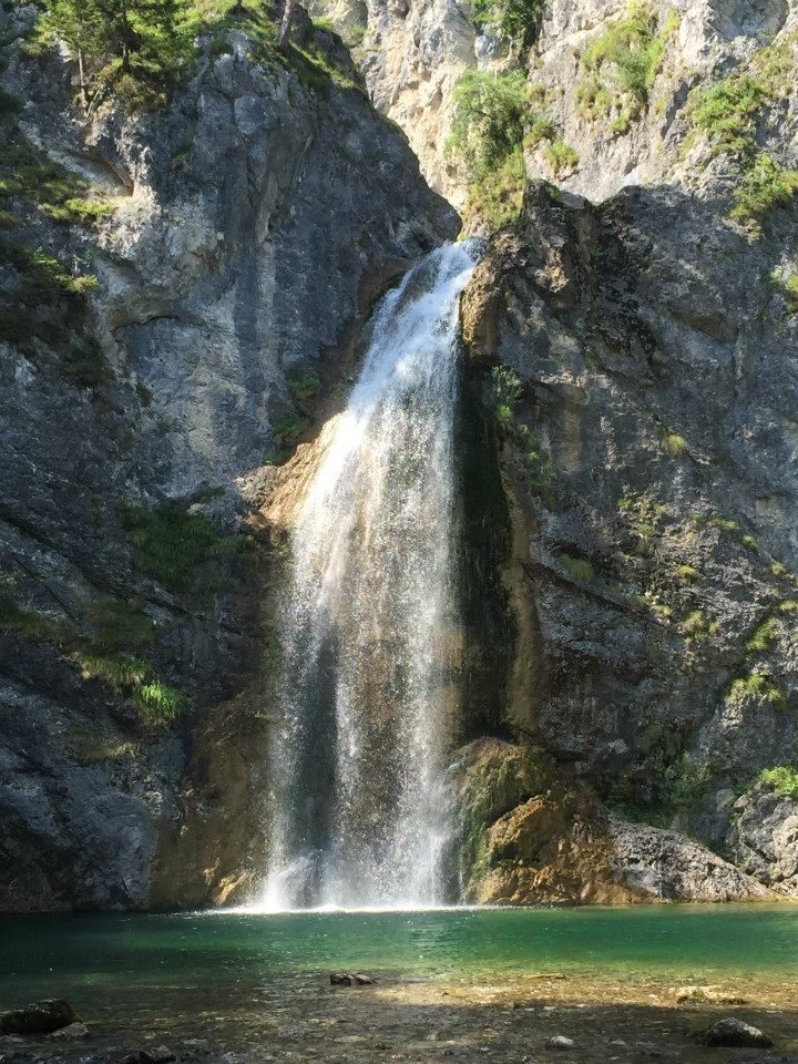
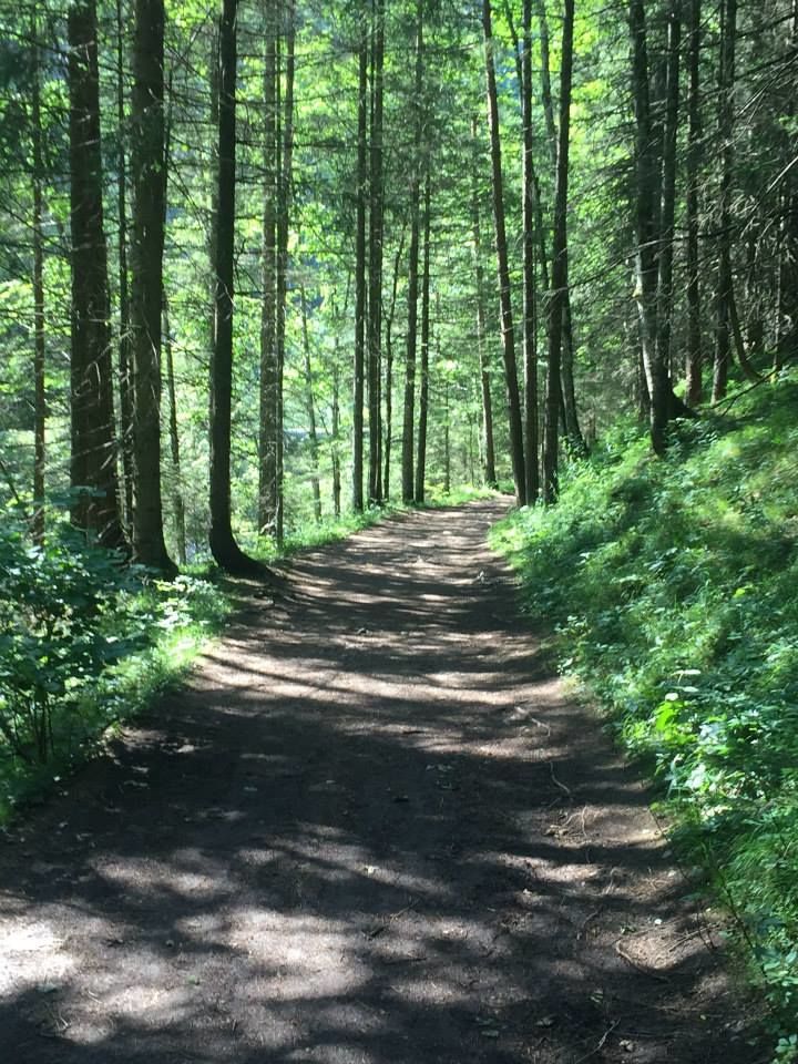
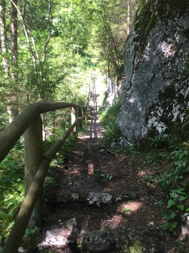
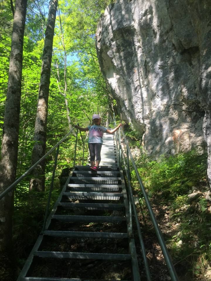
The Salza waterfall is an idyllic spot in the Gröbminger Land and offers a tremendous nature experience. Leave everyday life behind you and enjoy the spectacle of the water when the 40 m high spray of the waterfall flows into a "lagoon".
- Greutăţi
-
uşor
- Evaluare
-
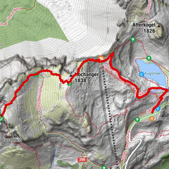
- Ruta
-
Salza0,2 kmSalza3,7 km
- Cel mai bun sezon
-
ianfebmaraprmaiiuniulaugsepoctnovdec
- Cel mai înalt punct
- 705 m
- Destinație
-
Salza Waterfall
- Profil de elevație
-


- Autor
-
Turul Salza Waterfall este utilizat de outdooractive.com furnizat.
GPS Downloads


Informaţii generale
Sfat din interior
Mai multe tururi în regiuni