© TV Hochsteiermark - Ekatarina Paller

© Hochsteiermark - Ekatarina Paller

© Hochsteiermark - Eka

© TV Hochsteiermark - Katrin Fleck

© TV Hochsteiermark - K. Pashkovskaya

© TV Hochsteiermark - K. Pashkovskaya

© TV Hochsteiermark - Ekatarina Paller

© Hochsteiermark - Ute Gurdet

- Scurtă descriere
-
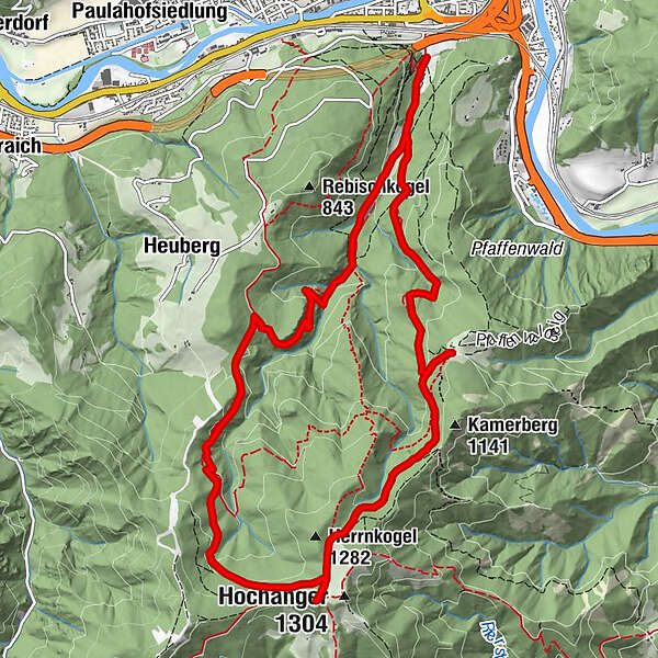
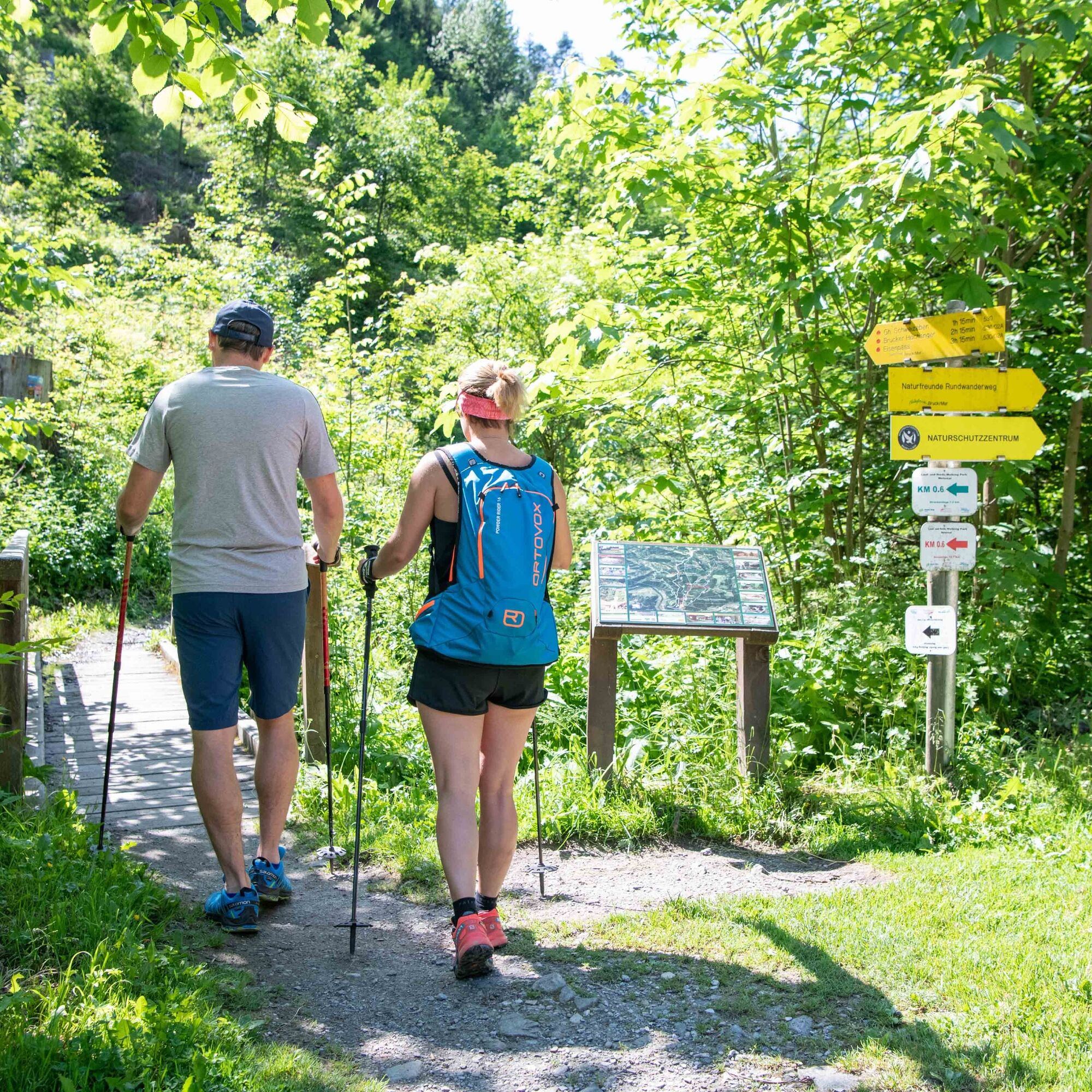
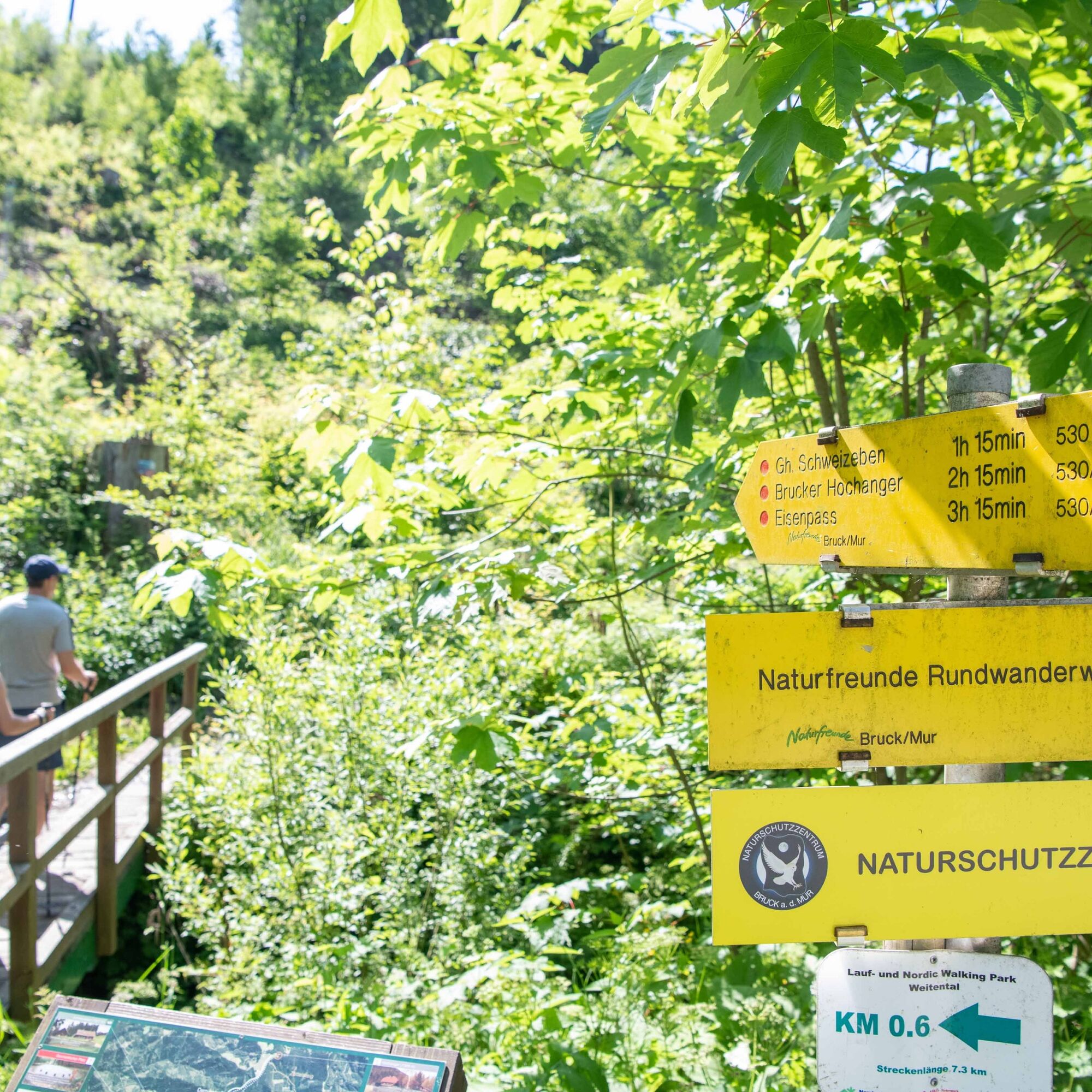
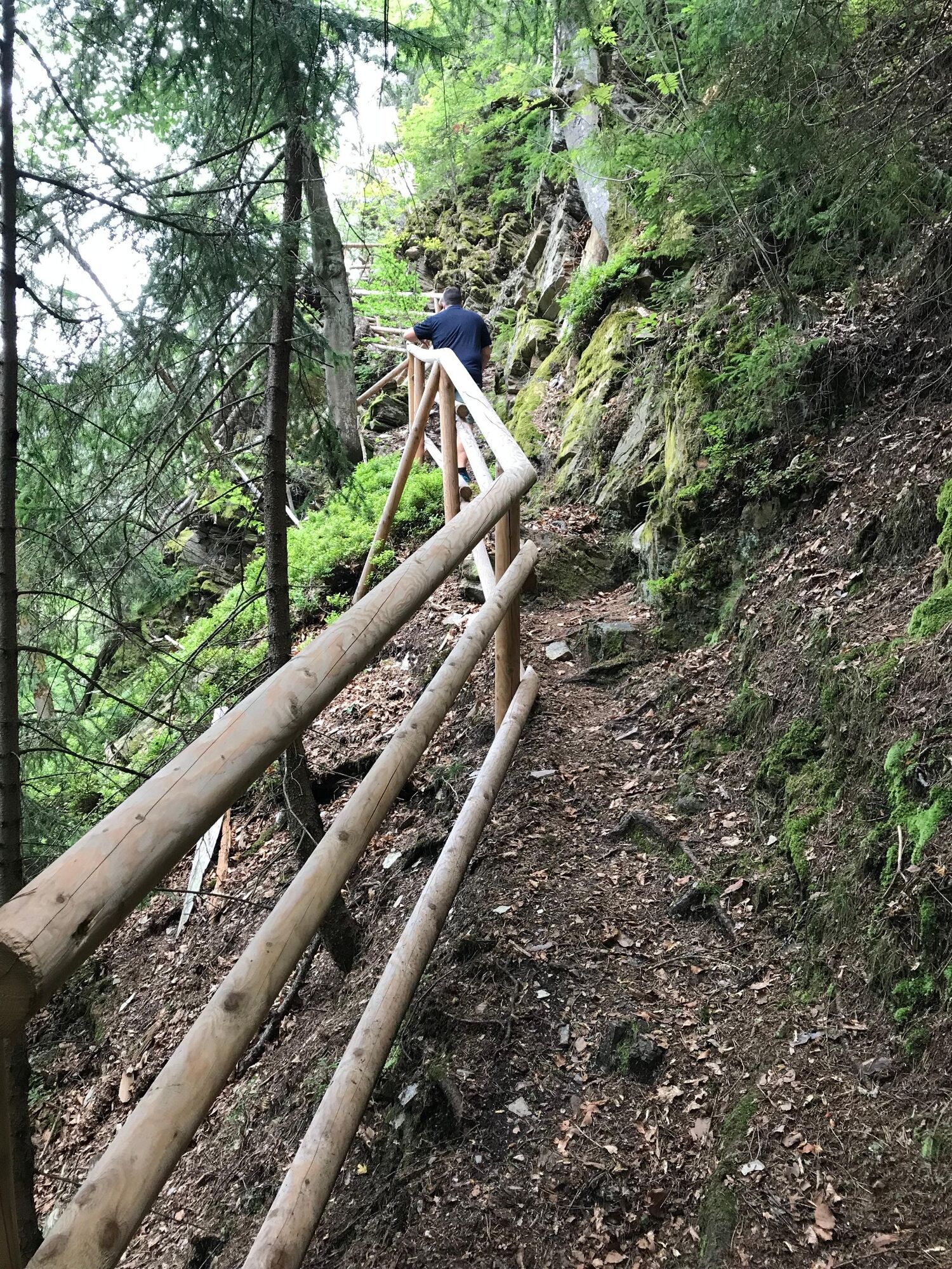
One of the three classic local mountains of Bruck an der Mur - the leisurely hike to the 1,308m high Hochanger near Bruck an der Mur is one of the most popular pleasure hikes in Hochsteiermark. The variant over the Rabenwandsteig, which can almost be described as alpine, also refines this tour by a few almost breathtaking sections.
- Greutăţi
-
mediu
- Evaluare
-
- Ruta
-
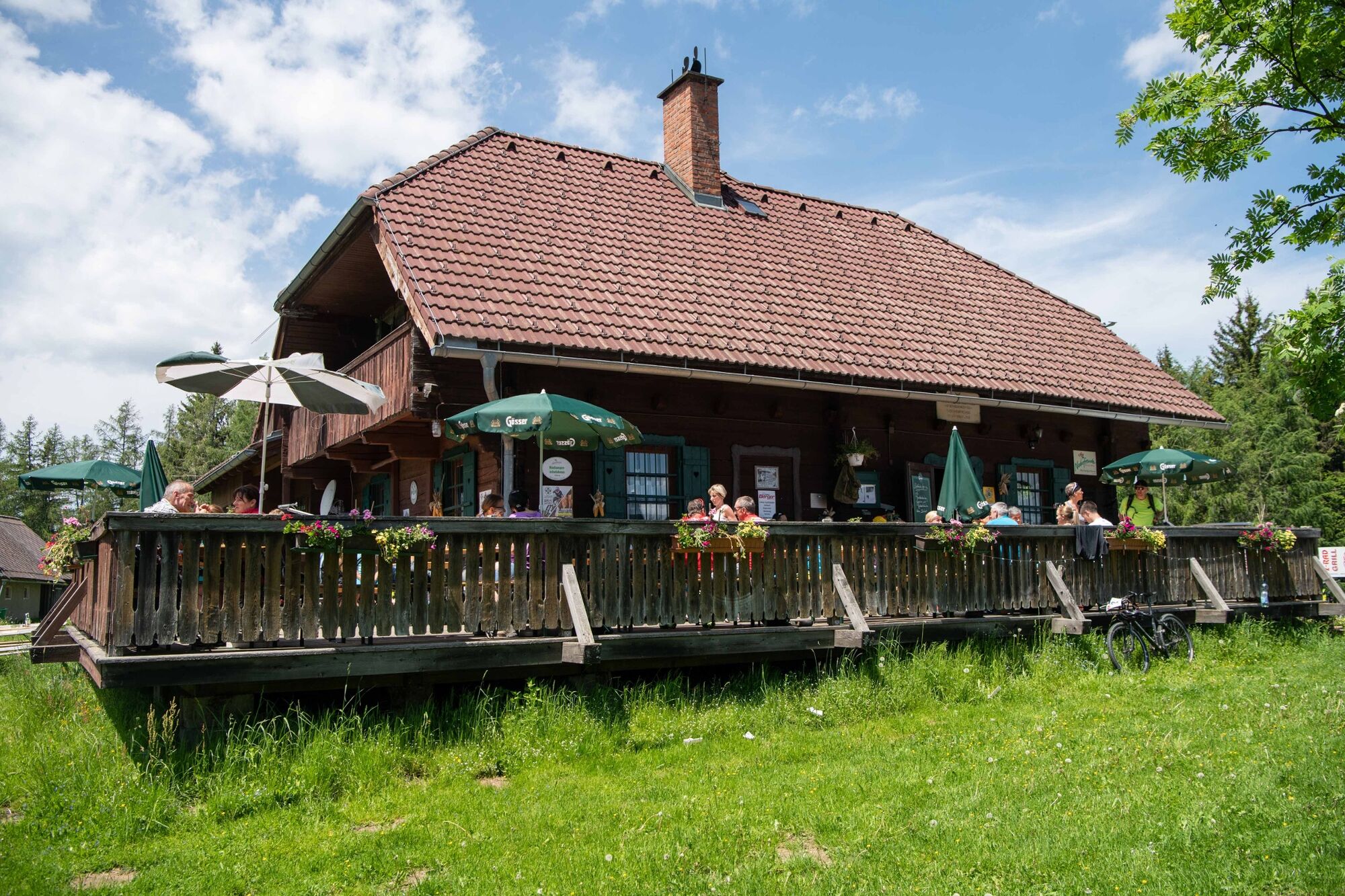
WeitentalBruck an der MurHochangerschutzhaus6,8 kmHerrnkogel (1.282 m)7,2 kmSchweizeben Almgasthaus9,4 kmBruck an der Mur12,8 kmWeitental12,8 km
- Cel mai bun sezon
-
ianfebmaraprmaiiuniulaugsepoctnovdec
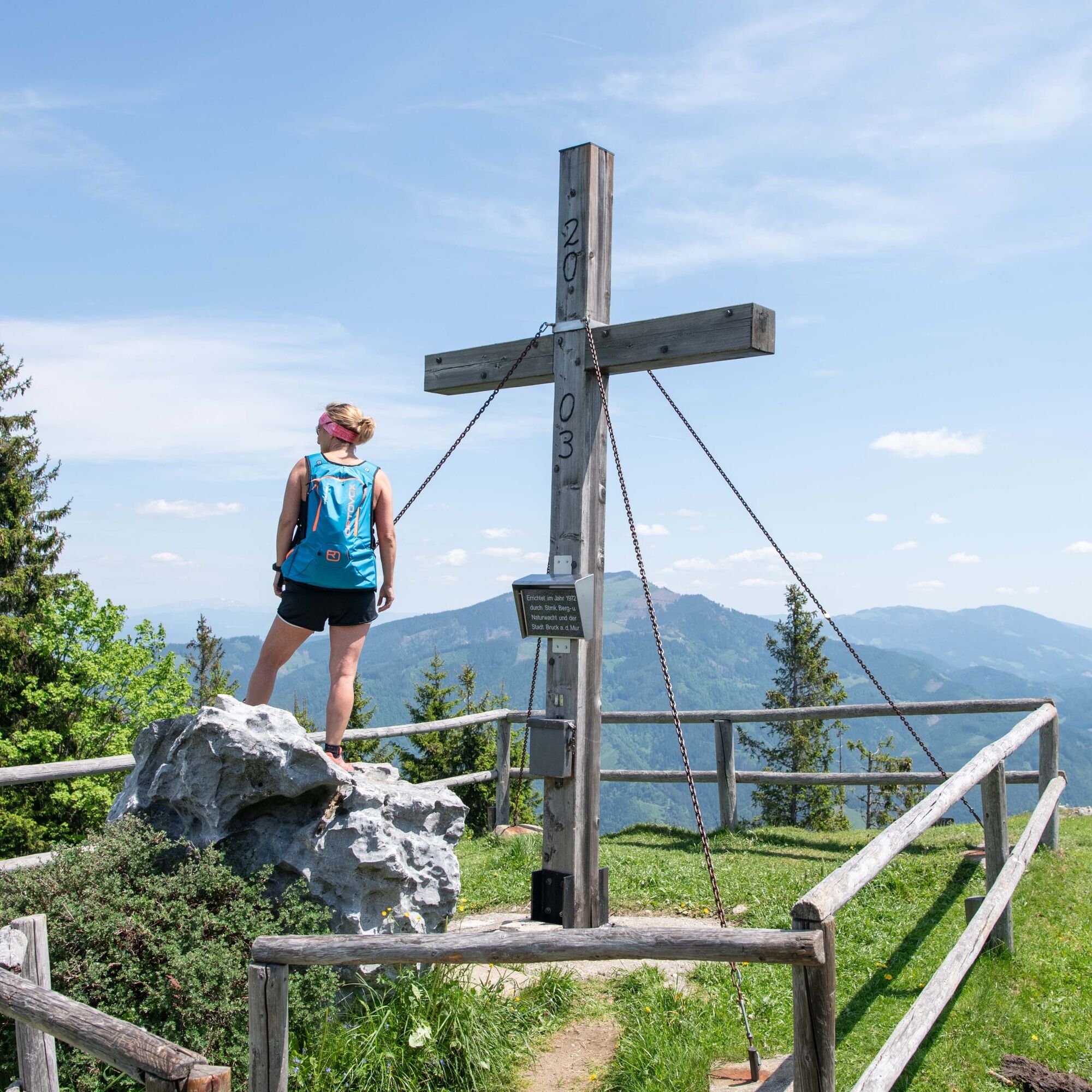
- Cel mai înalt punct
- 1.298 m
- Destinație
-
P Weitental bei Bruck an der Mur
- Profil de elevație
-


-
-
AutorTurul Von Bruck an der Mur auf den Hochanger este utilizat de outdooractive.com furnizat.
GPS Downloads


Informaţii generale
Oprire pentru băuturi răcoritoare
Fauna
Promițător
Mai multe tururi în regiuni
-
Erlebnisregion Graz
2783
-
Bruckmur-Kapfenberg
1500
-
Bruck an der Mur
338