© Gemeinde Treglwang

© Gemeinde Treglwang
Informaţii pentru tur
6,3km
766
- 1.930m
1.083hm
1.083hm
05:00h
- Greutăţi
-
mediu
- Evaluare
-
- Punct de pornire
-
Bahnhof Treglwang (kein Zughalt), Parkplatz
- Ruta
-
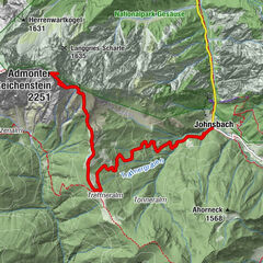
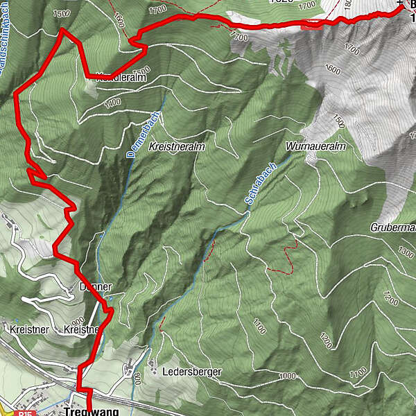
TreglwangBlaseneck (1.969 m)6,3 km
- Cel mai bun sezon
-
ianfebmaraprmaiiuniulaugsepoctnovdec
- Cel mai înalt punct
- 1.930 m
- Odihnă/Retragere
-
Beim Ausgangs/Endpunkt GH Ploderer "Treglwangerhof", GH Reitmaier "Rainer"

GPS Downloads


Condiții de traseu
Asfalt
Pietriş/prundiş/grohotiş
Livadă/pajişte
Pădure
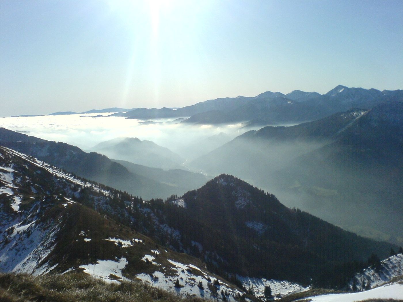
Stâncă
Expus
 & Kaiserschild (rechts)")