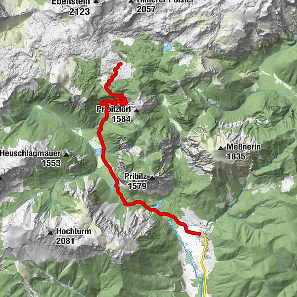
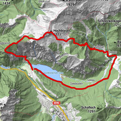
Tragöß-Oberort - Sonnschienhütte

Logo Tragöß-Oberort - Sonnschienhütte
Informaţii pentru tur
23,5km
752 - 1.535m
Distanz
714hm
714hm
Ascent
07:00h
 
Durata
Greutăţi
mediu
Evaluare
Tehnică
Condiţie
Peisaj
Experienţă
Cel mai înalt punct
1.535 m

3,0
Evaluarea generală

5

0

%

4

50

%

3

0

%

2

50

%

1

0

%

GPS Downloads
  • GPX GPS Exchange Format (XML)
  • KML Google Earth, Google Maps
Coduri de descărcare QR pentru telefoane mobile
Mai multe tururi în regiuni

Tururi populare în zonă

Eisenerzer Reichenstein

mediu
4,32km | 855hm | 04:30h

Hochschwab

greu
20,4km | 1600hm | 08:30h

Hochblaser

12,92km | 1142hm | 06:00h

Leobner Mauer

11,98km | 791hm | 05:00h