© Oststeiermark Tourismus - ©WEGES

© Oststeiermark Tourismus - ©WEGES

© Oststeiermark Tourismus - WEGES

© Oststeiermark Tourismus - WEGES WEGES

© Oststeiermark Tourismus - XErlebnisregion Oststeiermark Geschäftsstelle ApfelLand-Stubenbergsee

© Tourismusverband Oststeiermark - Ewald Neffe

© Outdooractive – 3D Videos

- Scurtă descriere
-
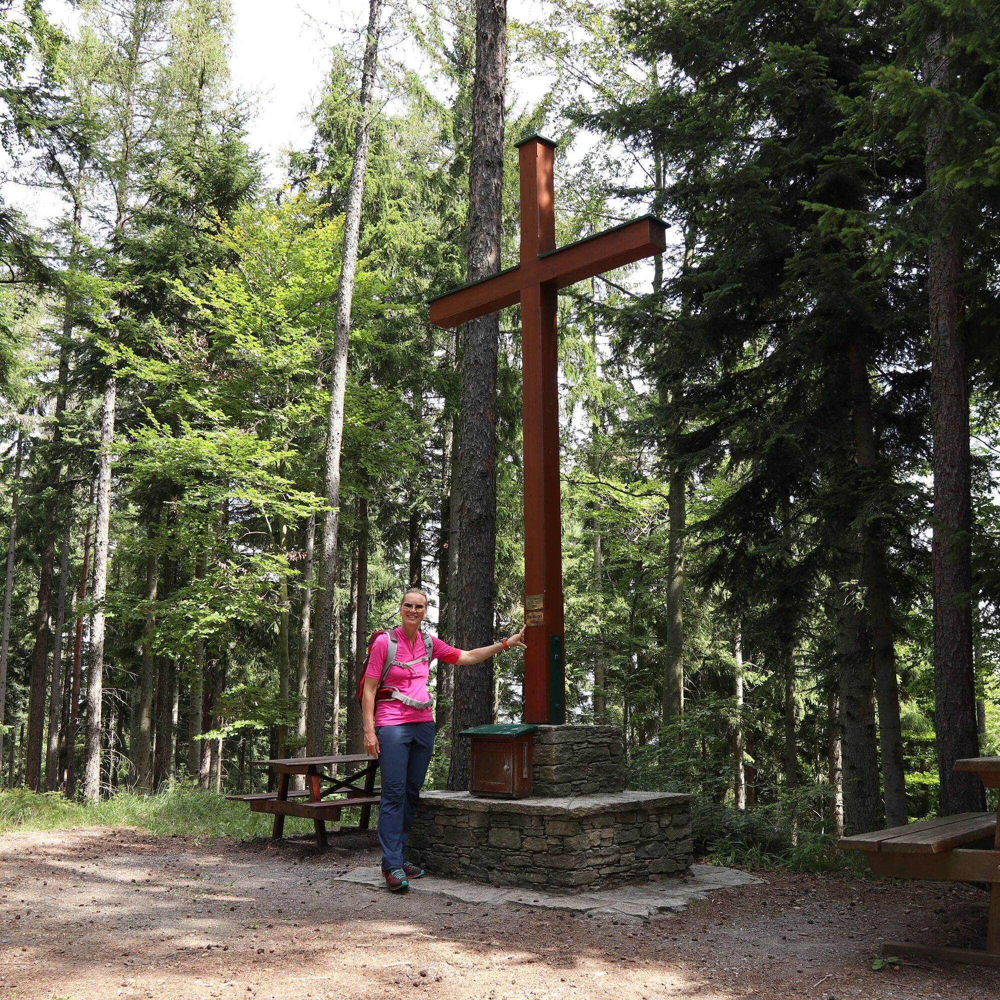
Medium-difficulty hike in the beautiful apple country up the Buchkogel
- Greutăţi
-
mediu
- Evaluare
-
- Ruta
-
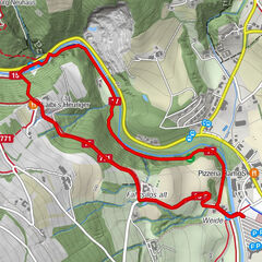
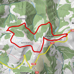
Buchkogel (907 m)3,1 km
- Cel mai bun sezon
-
ianfebmaraprmaiiuniulaugsepoctnovdec
- Cel mai înalt punct
- 1.012 m
- Destinație
-
Transmitter at Rabenwald- Goger
- Profil de elevație
-


-

-
AutorTurul Buchkogel high trail, Stubenberg este utilizat de outdooractive.com furnizat.
GPS Downloads


Mai multe tururi în regiuni
-
Oststeiermark
2126
-
ApfelLand - Stubenbergsee
1140
-
Stubenberg am See
321