© Erlebnisregion Schladming-Dachstein - Karina Weichbold


© Erlebnisregion Schladming-Dachstein - Karina Weichbold

© Erlebnisregion Schladming-Dachstein - Karina Weichbold

© Erlebnisregion Schladming-Dachstein - Karina Weichbold

© Erlebnisregion Schladming-Dachstein - Karina Weichbold

© Erlebnisregion Schladming-Dachstein - Karina Weichbold

© Erlebnisregion Schladming-Dachstein - Karina Weichbold

© Erlebnisregion Schladming-Dachstein - Karina Weichbold

© Erlebnisregion Schladming-Dachstein - Karina Weichbold
- Scurtă descriere
-
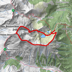
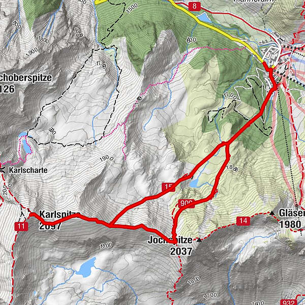
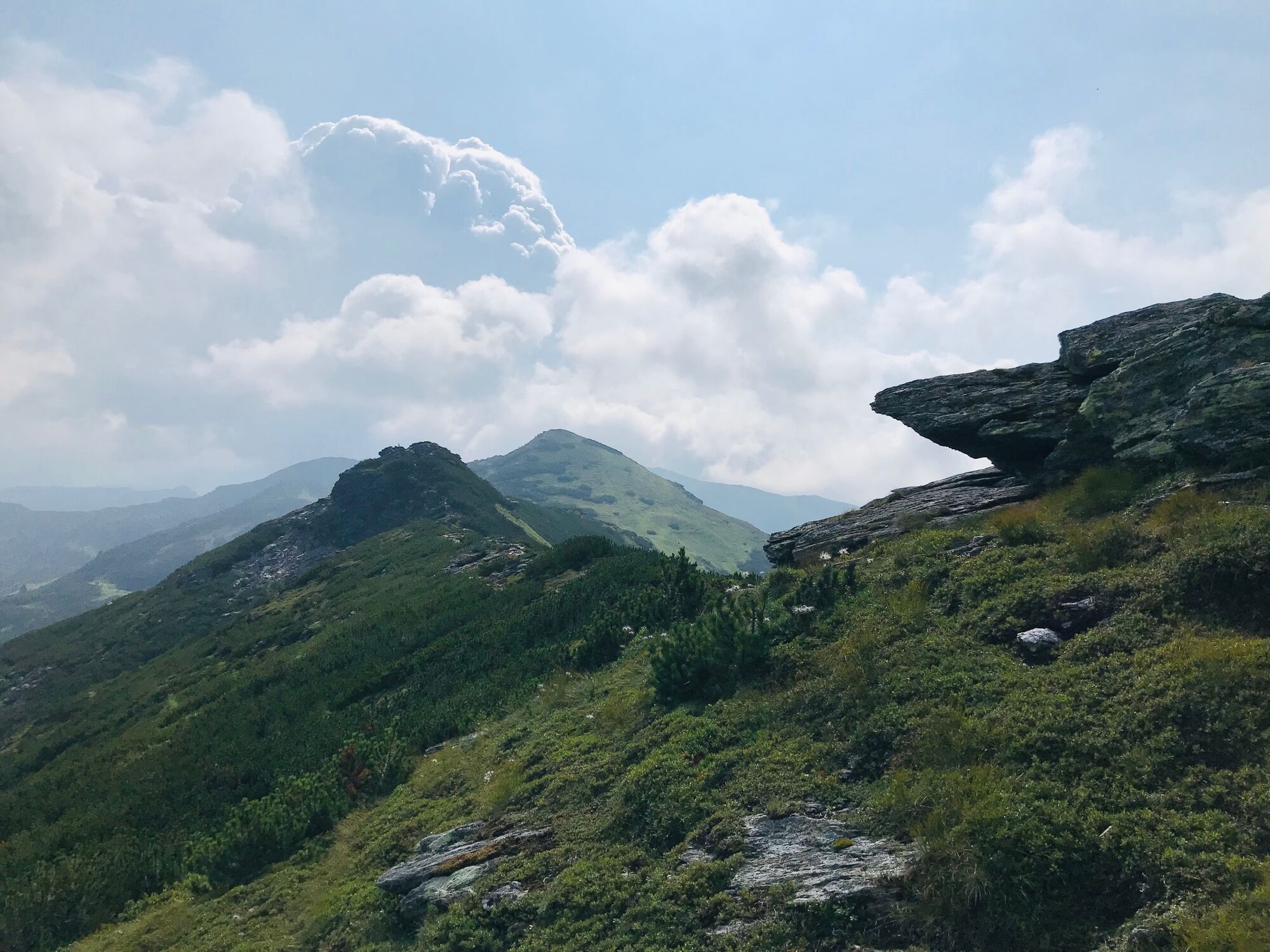
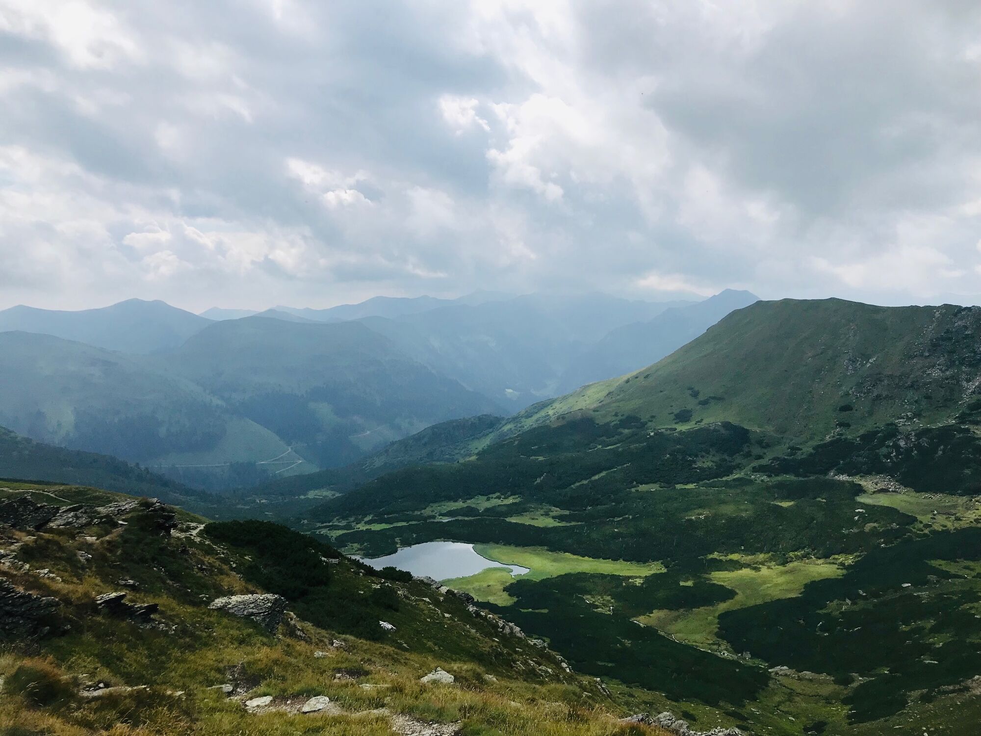
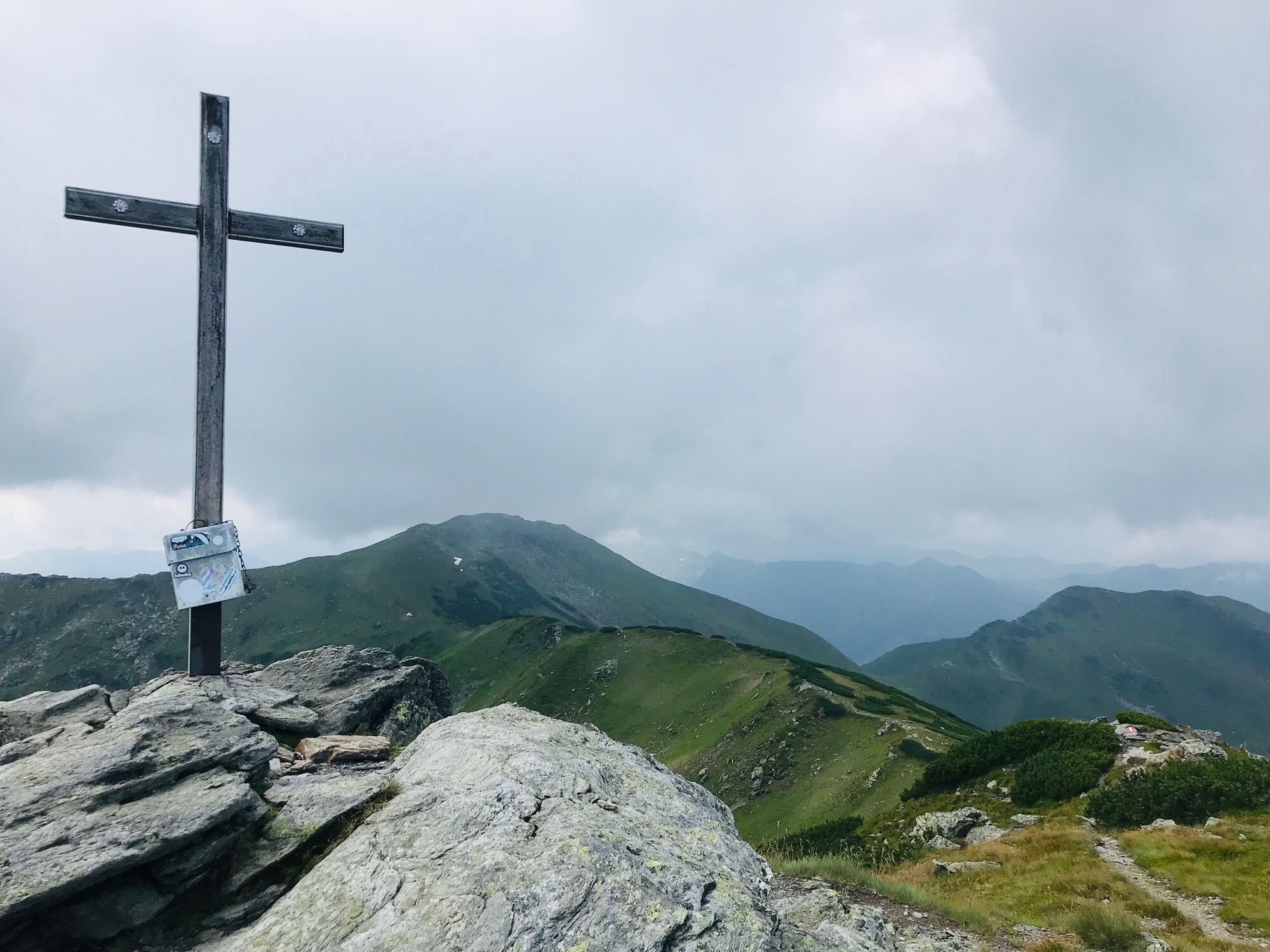
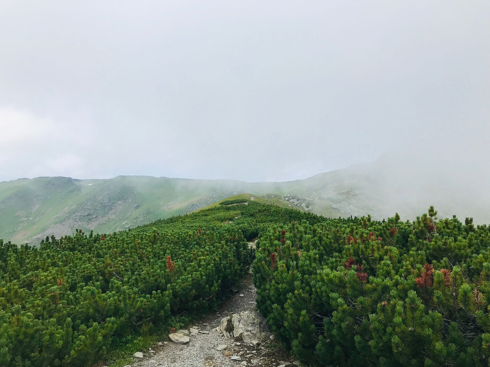
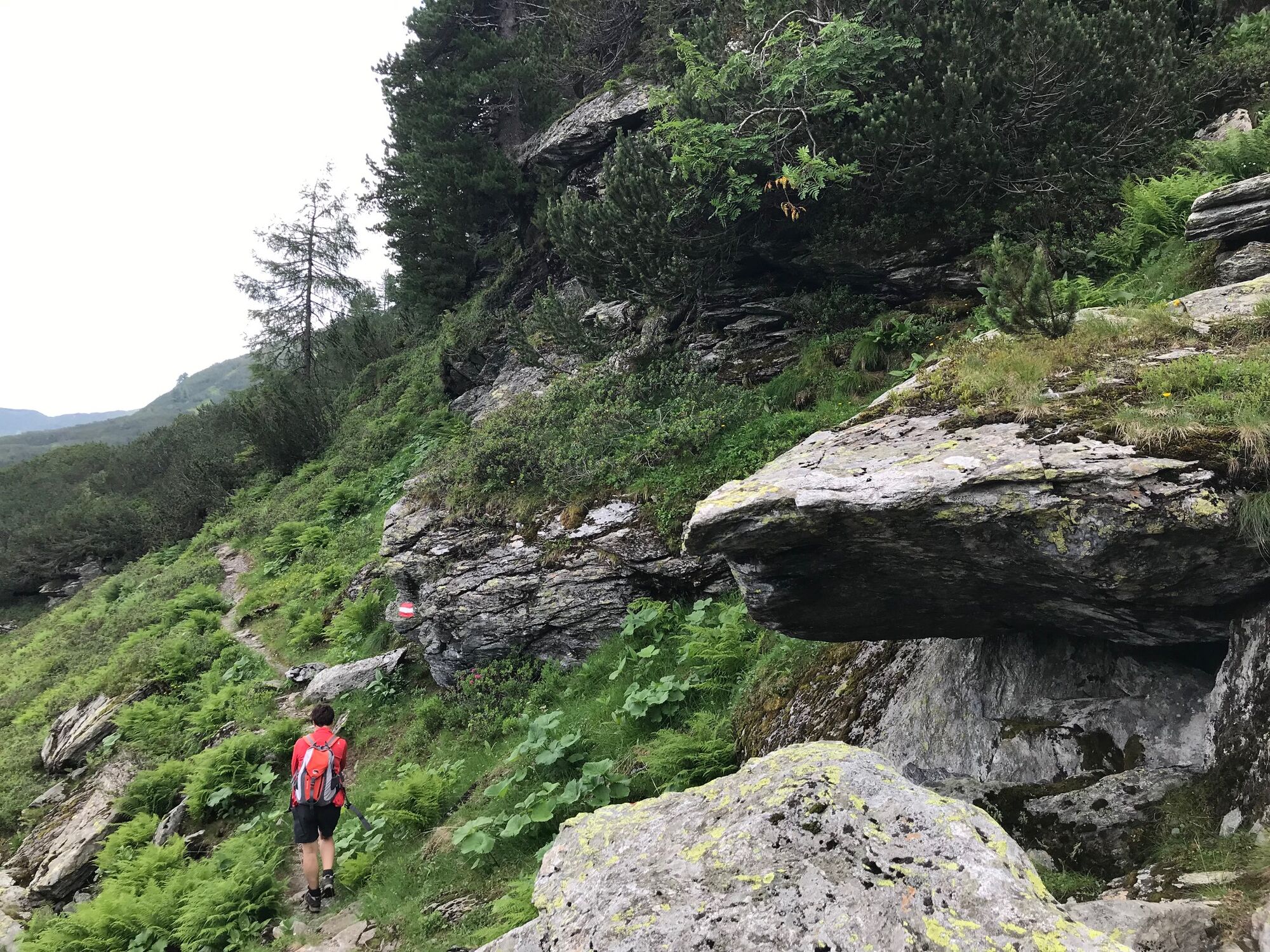
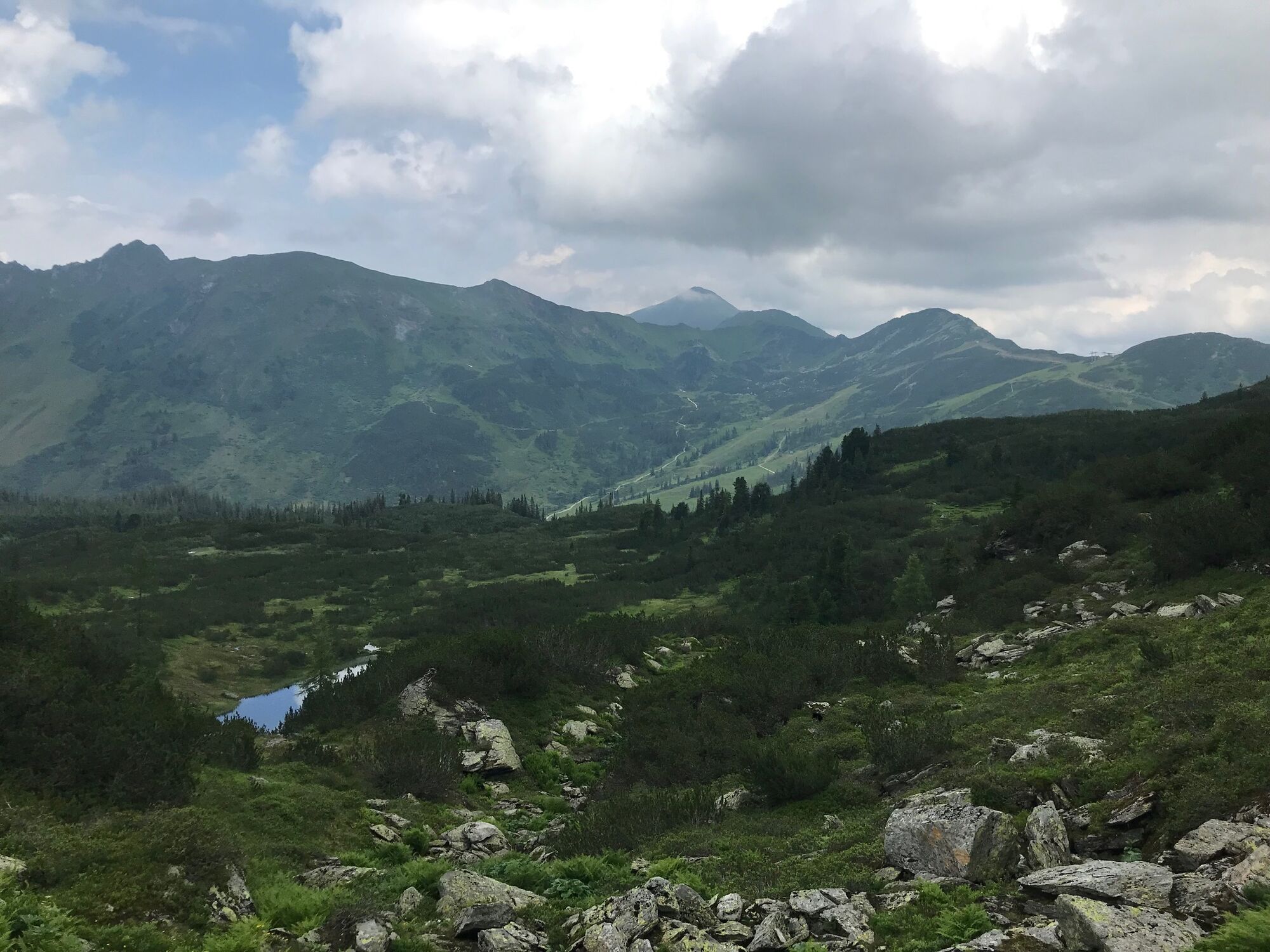
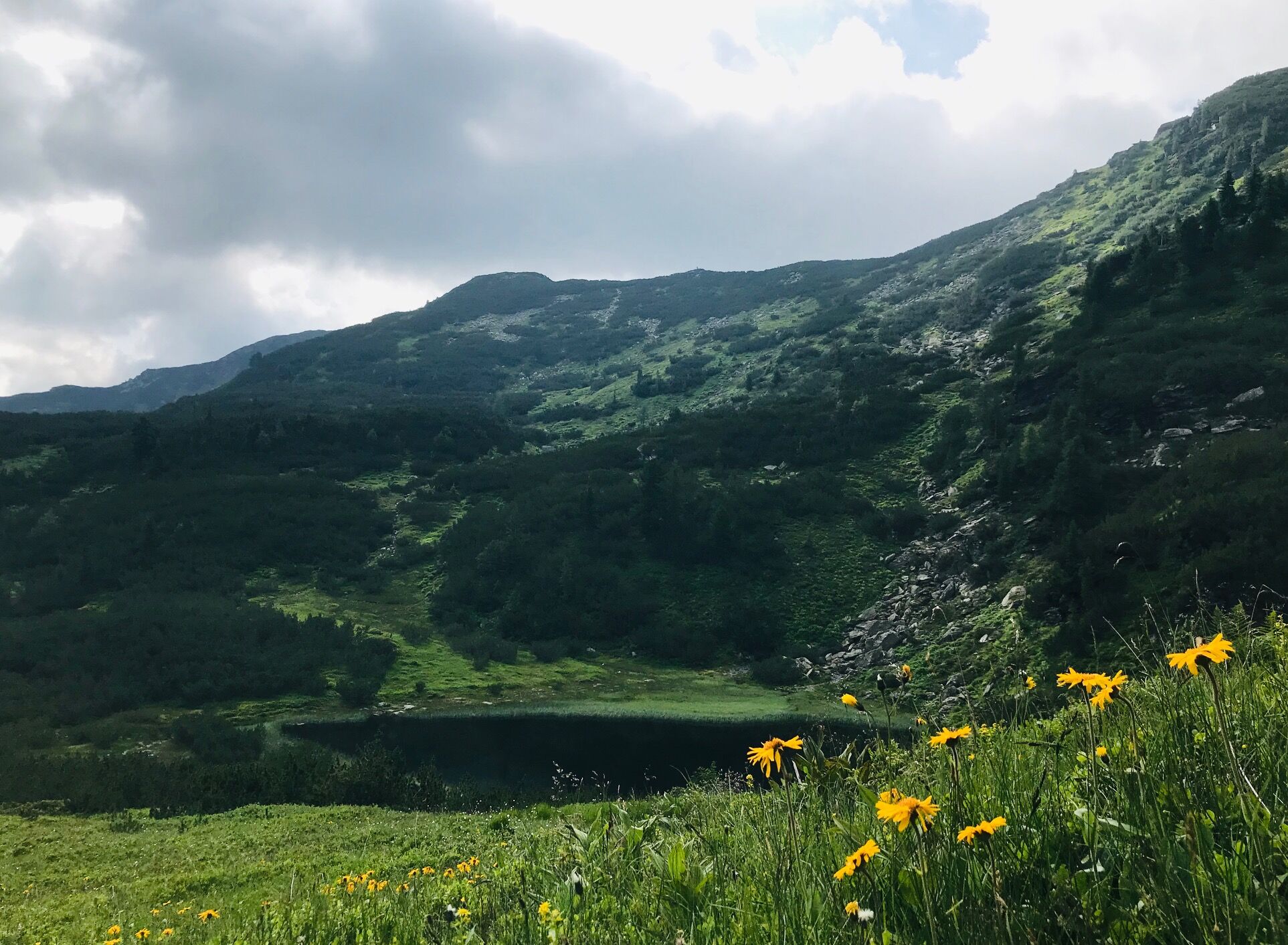
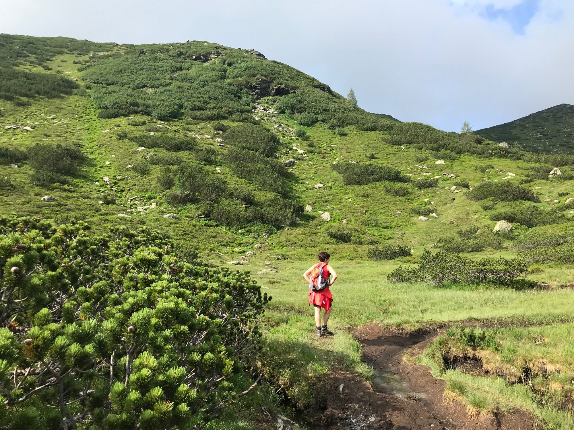
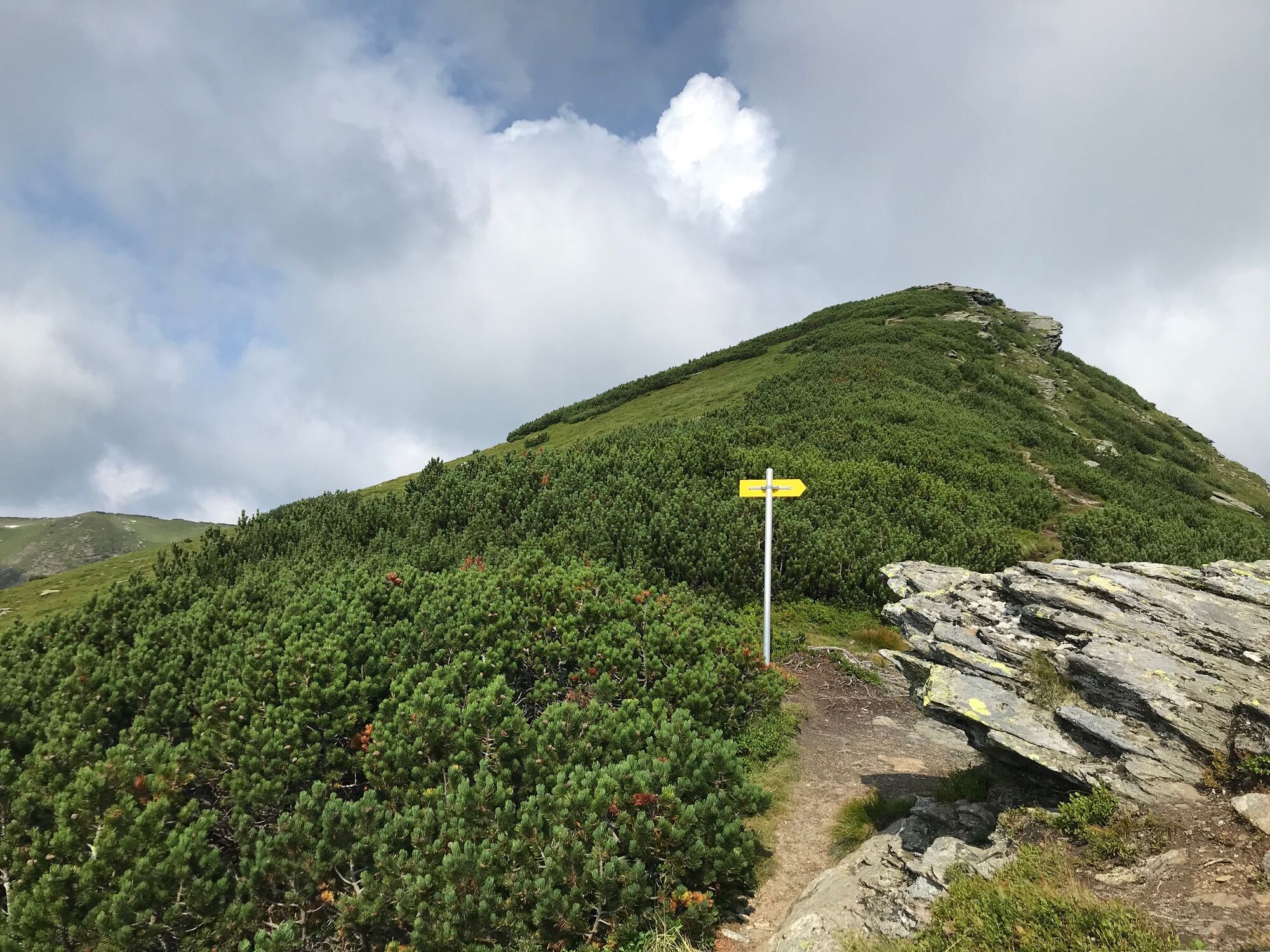
Enjoyable circuit hike from the Planneralm via Kothütten lake and along the ridge to the beloved Karlspitz peak. From there the trail goes back via the Goldbachscharte and dense mountain pine fields.
- Greutăţi
-
mediu
- Evaluare
-
- Ruta
-
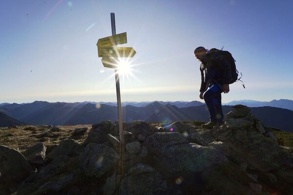
Karlspitze (2.097 m)2,9 kmGoldbachscharte (1.960 m)4,3 km
- Cel mai bun sezon
-
ianfebmaraprmaiiuniulaugsepoctnovdec
- Cel mai înalt punct
- 2.090 m
- Destinație
-
parking area Planneralm
- Profil de elevație
-

-

-
AutorTurul Ridge hike via Kothütten lake to Karlspitz este utilizat de outdooractive.com furnizat.
GPS Downloads


Informaţii generale
Oprire pentru băuturi răcoritoare
Flora
Promițător
Mai multe tururi în regiuni