© TV Gesäuse - Tourismusverband Gesäuse

© TV Gesäuse - Tourismusverband Gesäuse

© TV Gesäuse - Tourismusverband Gesäuse

© TV Gesäuse - Tourismusverband Gesäuse

© TV Gesäuse - Tourismusverband Gesäuse

© TV Gesäuse - Tourismusverband Gesäuse

© TV Gesäuse - Tourismusverband Gesäuse

© TV Gesäuse - Tourismusverband Gesäuse

© TV Gesäuse - Tourismusverband Gesäuse

© TV Gesäuse - Tourismusverband Gesäuse


- Scurtă descriere
-
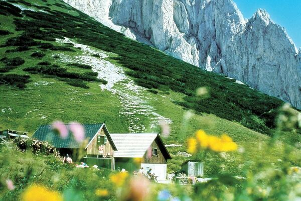
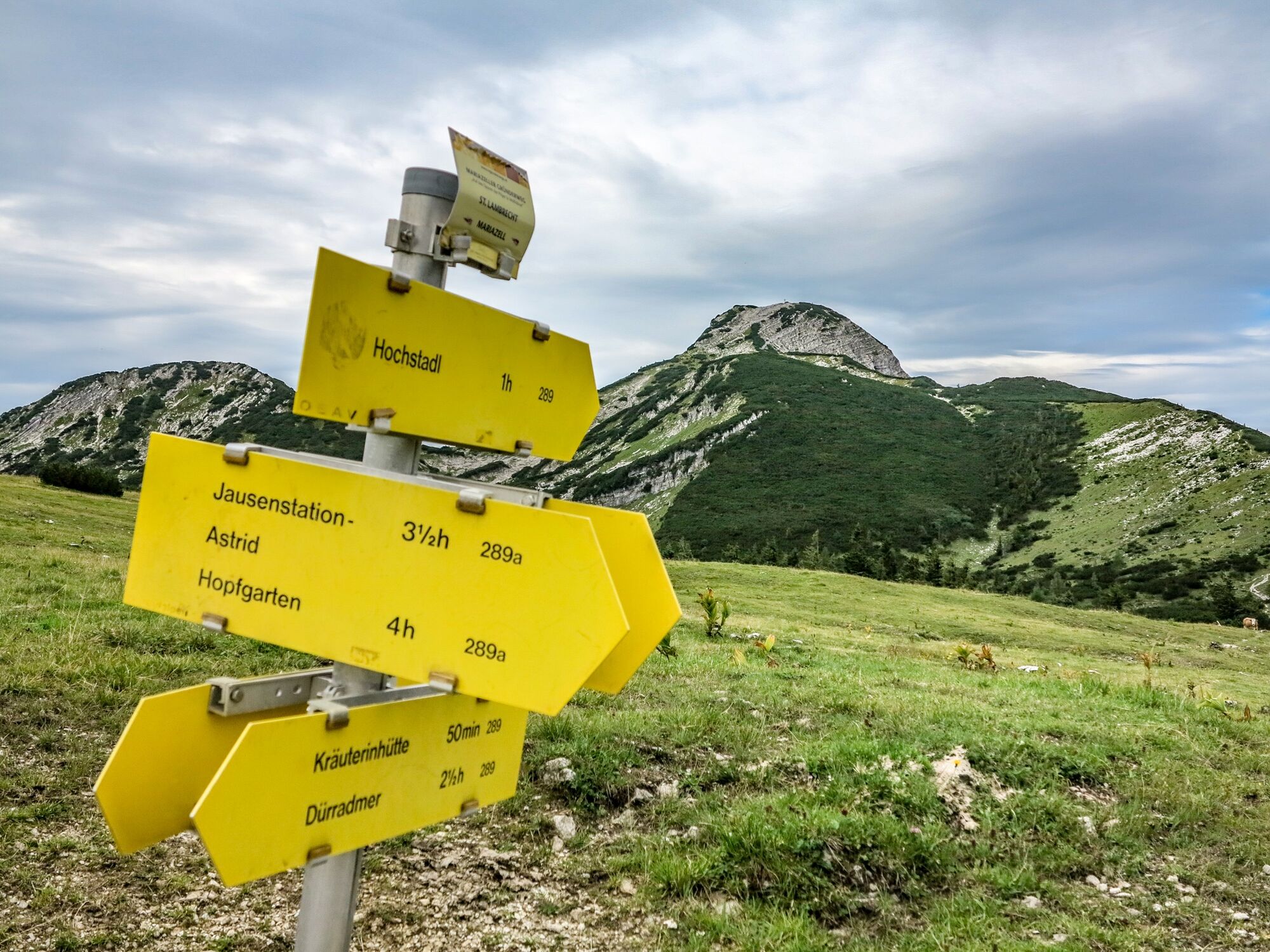
Easy hike from the Nappebachklause via the Kräuterinhütte to the highest peak of the Kräuterin mountain range, the Hochstadl.
- Greutăţi
-
mediu
- Evaluare
-
- Ruta
-
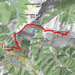
Nappenbachklause0,2 kmKräuterinhütte1,8 kmHochstadl (1.919 m)6,1 kmHochgruben8,3 kmRotmoos14,5 km
- Cel mai bun sezon
-
ianfebmaraprmaiiuniulaugsepoctnovdec
- Cel mai înalt punct
- 1.914 m
- Destinație
-
Rotmoos
- Profil de elevație
-


-

-
AutorTurul Kräuterin Hochstadl Überschreitung este utilizat de outdooractive.com furnizat.
GPS Downloads


Informaţii generale
Oprire pentru băuturi răcoritoare
Mai multe tururi în regiuni
-
Erzberg Leoben
2530
-
Hochschwab
1272
-
Wildalpen
254