© Stadtgemeinde Voitsberg - Die Abbildere, Dieter Sajovic

© Stadtgemeinde Voitsberg - Dieter Sajovic

© Stadtgemeinde Voitsberg - Dieter Sajovic

© Stadtgemeinde Voitsberg - Dieter Sajovic

© Abbilderei - Dieter Sajovic

© Abbilderei - Dieter Sajovic

© Region Graz - Gerhard Langusch

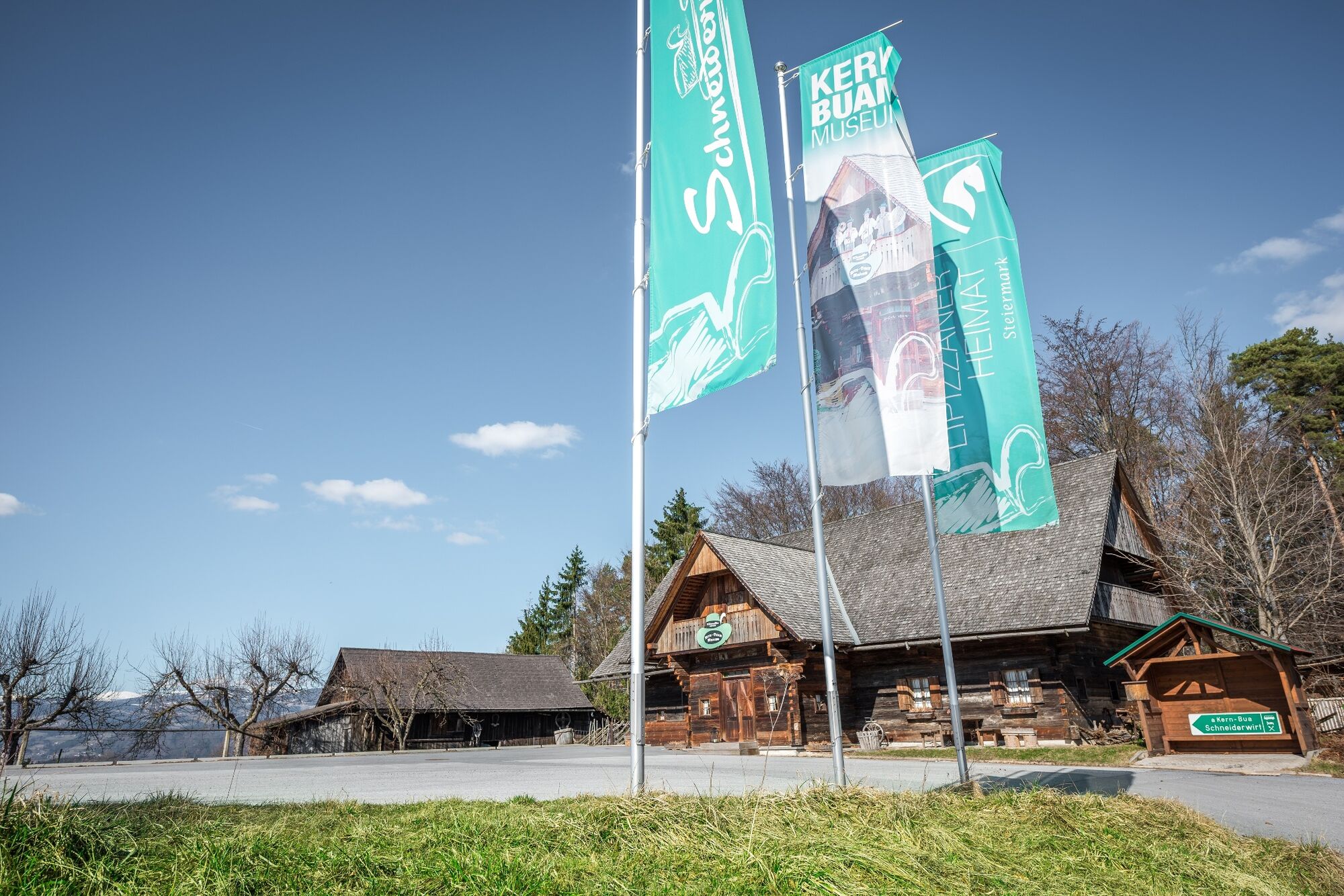
© Region Graz - Tourismusverband Lipizzanerheimat

© Stadtgemeinde Voitsberg - Dieter Sajovic

© Region Graz - TV Lipizzanerheimat_EU
- Scurtă descriere
-
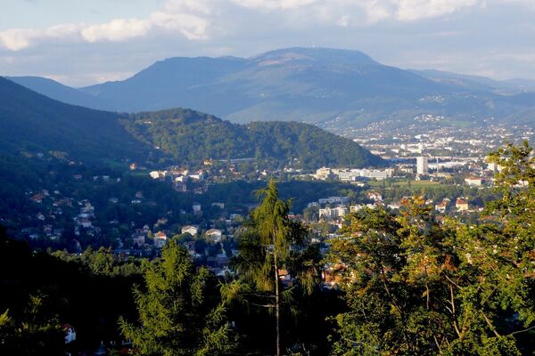
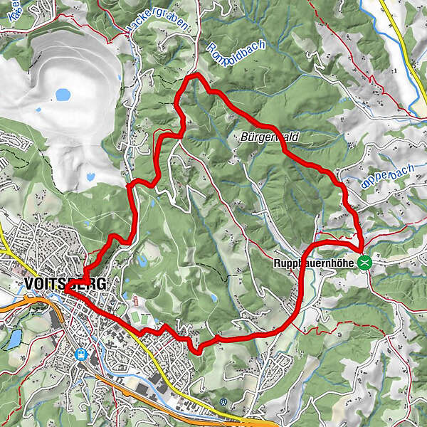
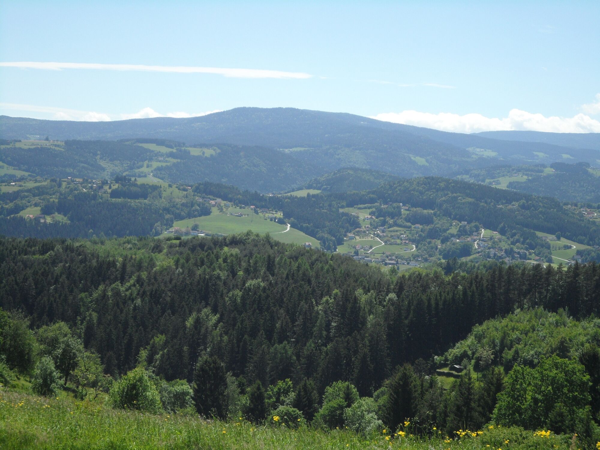
We can get to know the sunny side of the town of Voitsberg on this hike, which takes us from the town center to the rural areas up to the municipal border with Stallhofen.
- Greutăţi
-
mediu
- Evaluare
-
- Ruta
-
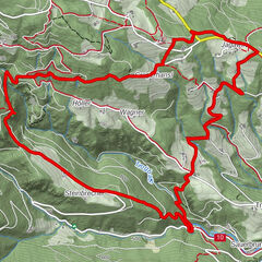
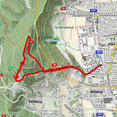
Voitsberg0,0 kmSchneiderwirt3,9 kmLobming9,1 kmGasthaus Toni Peter9,2 kmStitz-Bildstock11,1 kmVoitsberg12,7 km
- Cel mai bun sezon
-
ianfebmaraprmaiiuniulaugsepoctnovdec
- Cel mai înalt punct
- 590 m
- Destinație
-
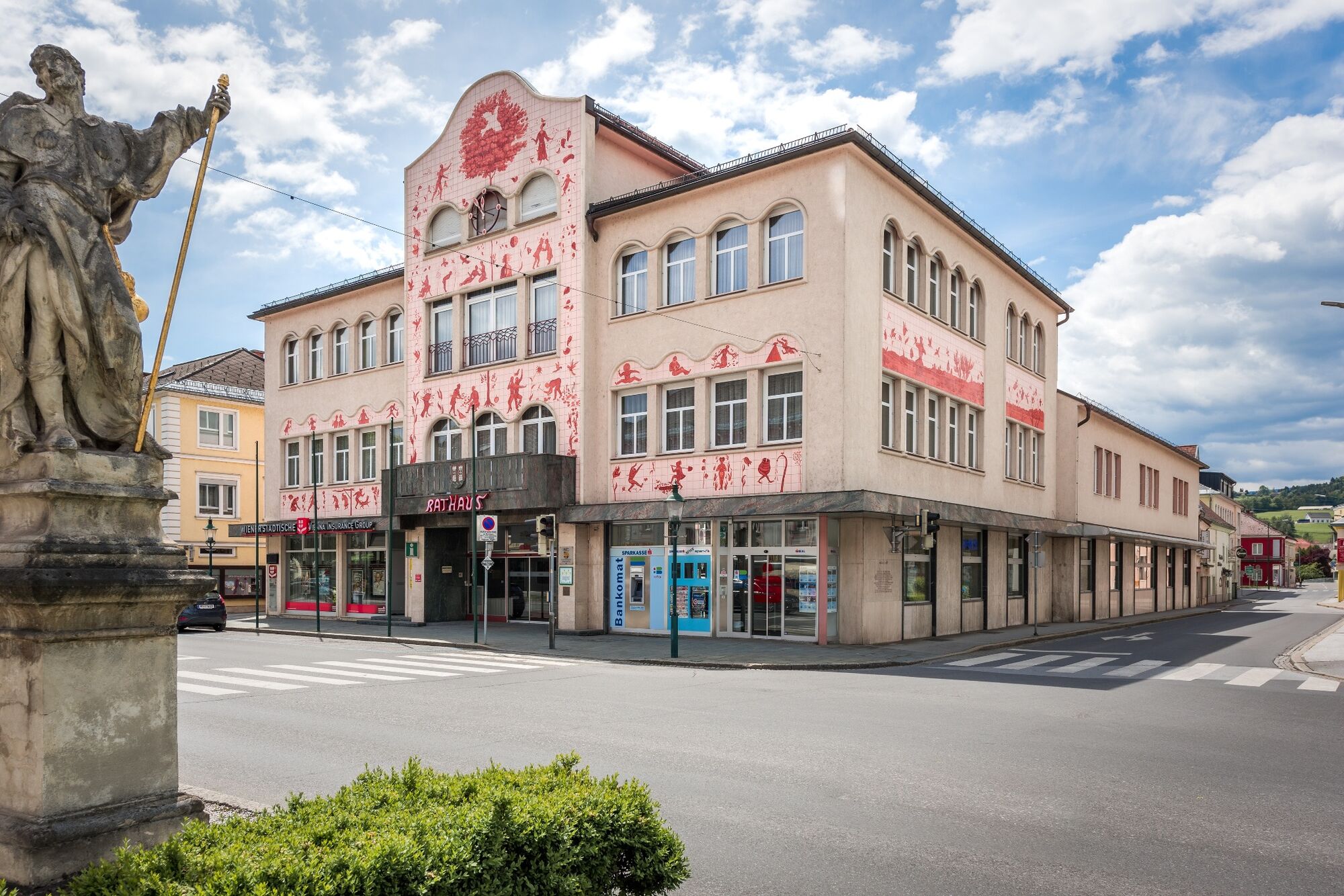
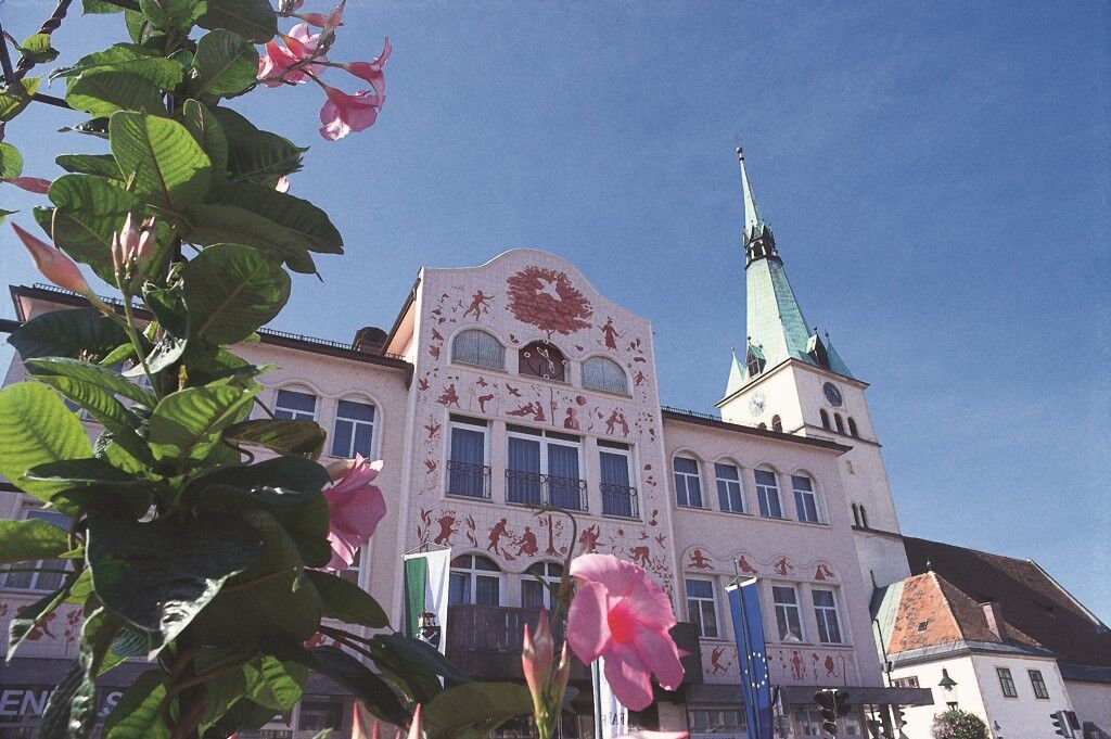
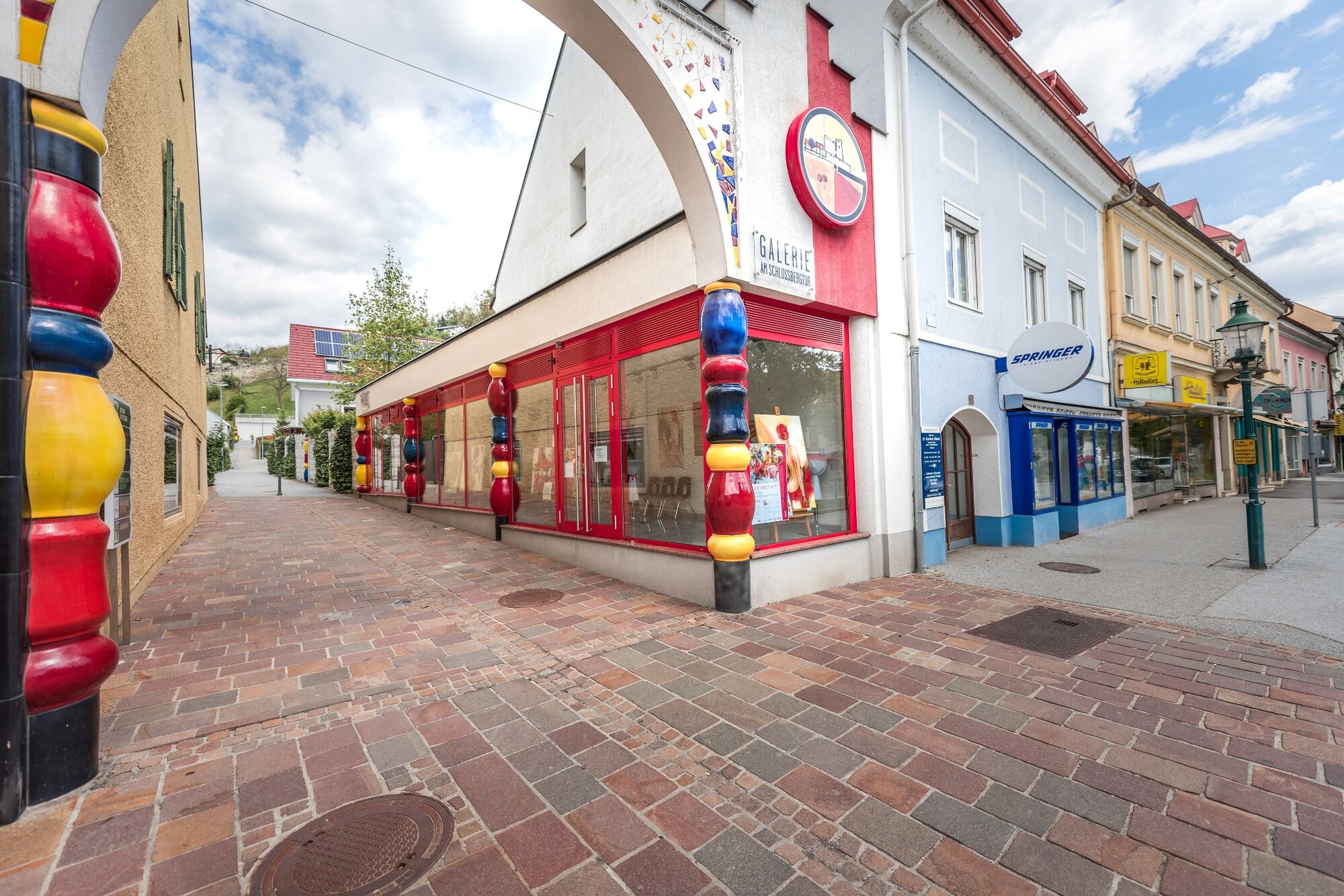
Voitsberg, Arik Brauer Town Hall
- Profil de elevație
-


-

-
AutorTurul On the sunny side of Voitsberg este utilizat de outdooractive.com furnizat.
GPS Downloads


Informaţii generale
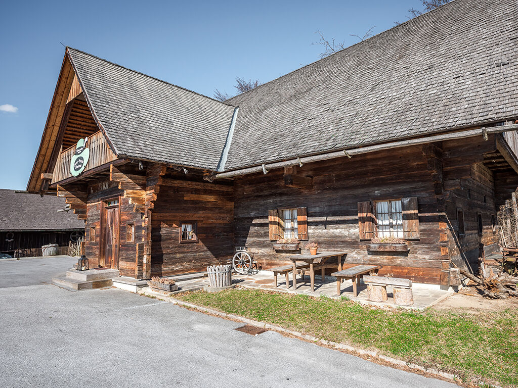
Oprire pentru băuturi răcoritoare
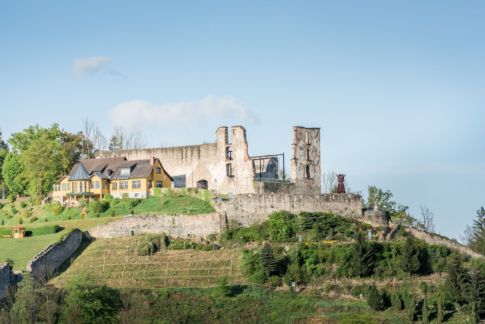
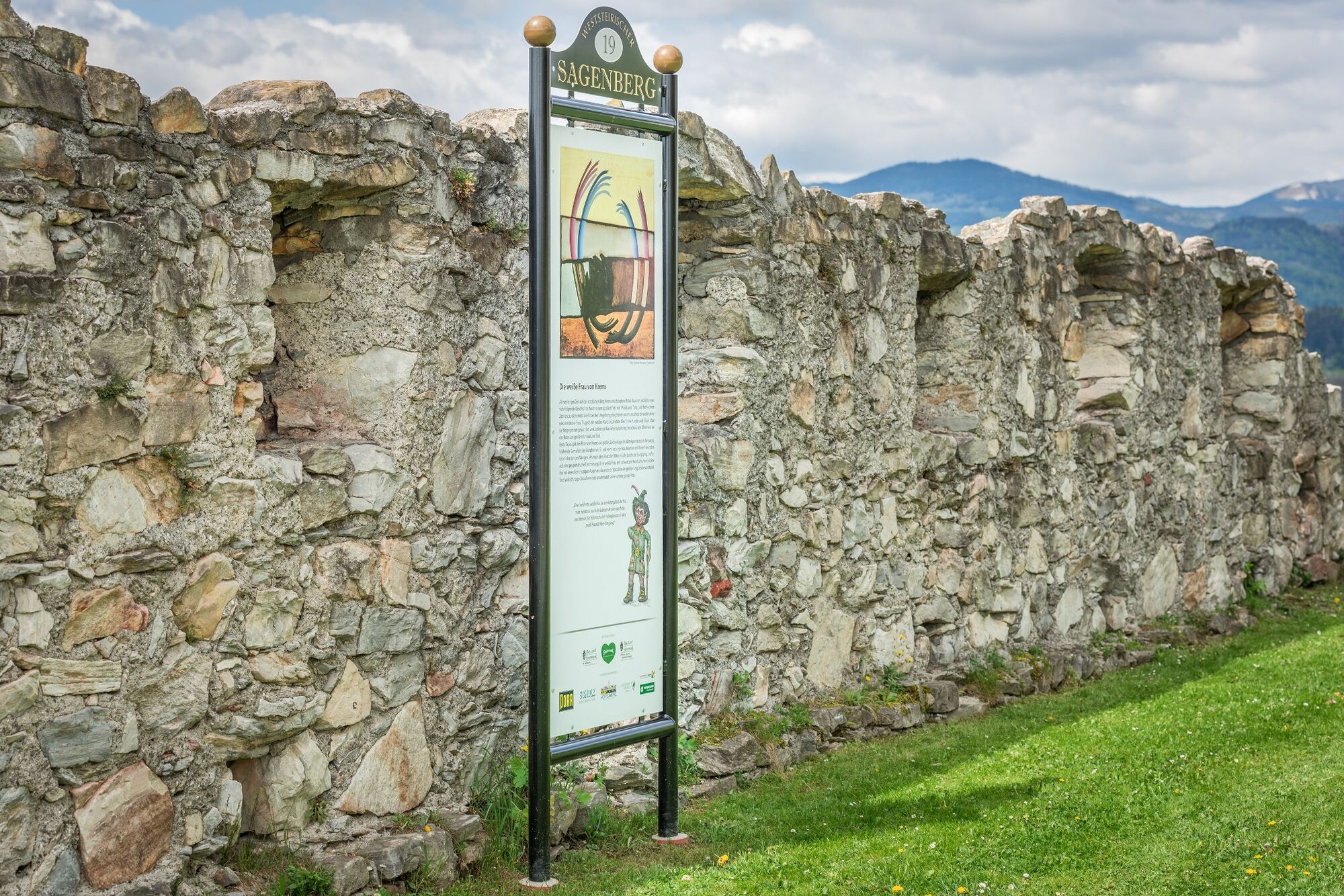
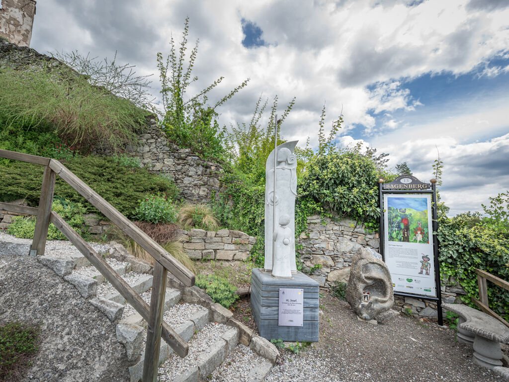
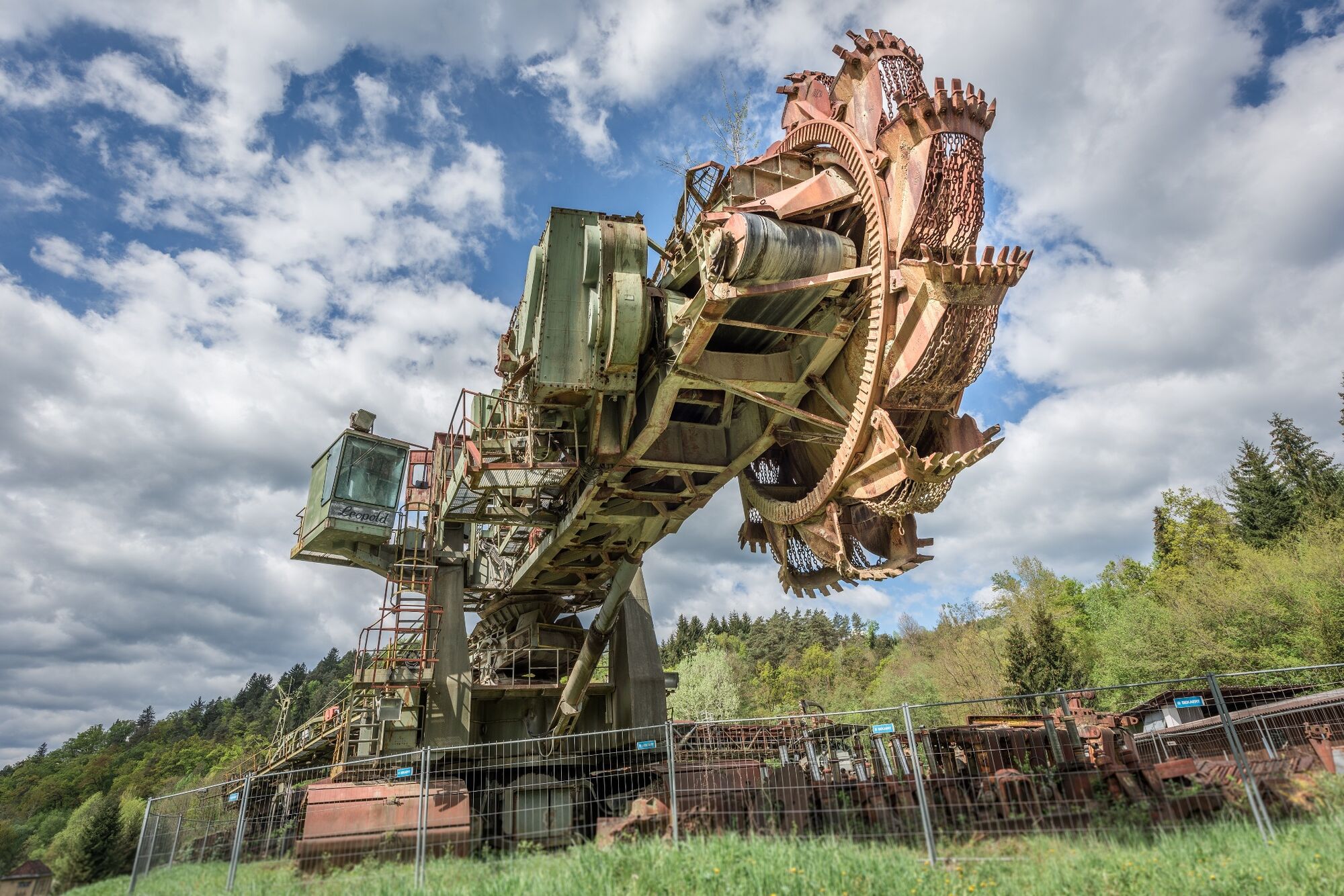
Cultural/Istoric
Promițător
Mai multe tururi în regiuni