© Tourismusverband ERZBERG LEOBEN - Anton Hirschmann

© Tourismusverband ERZBERG LEOBEN - Anton Hirschmann

© Tourismusverband ERZBERG LEOBEN - Anton Hirschmann

© Tourismusverband ERZBERG LEOBEN - Anton Hirschmann

© Tourismusverband ERZBERG LEOBEN - Anton Hirschmann

- Scurtă descriere
- Greutăţi
-
greu
- Evaluare
-
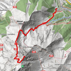
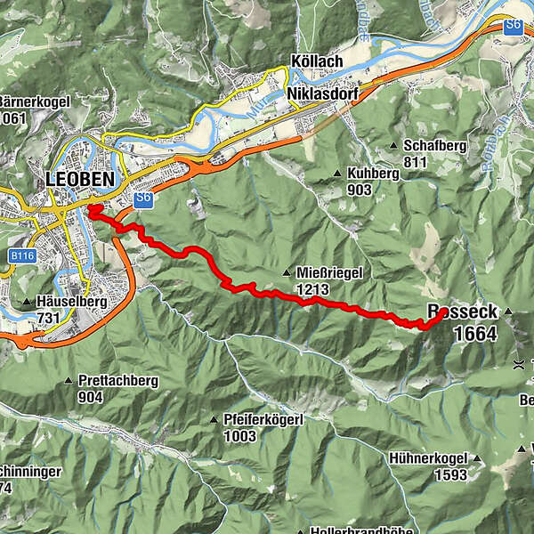
- Ruta
-
LeobenSpitz Christi4,3 kmMugel (1.630 m)9,9 kmMugelschutzhaus9,9 km
- Cel mai bun sezon
-
ianfebmaraprmaiiuniulaugsepoctnovdec
- Cel mai înalt punct
- 1.615 m
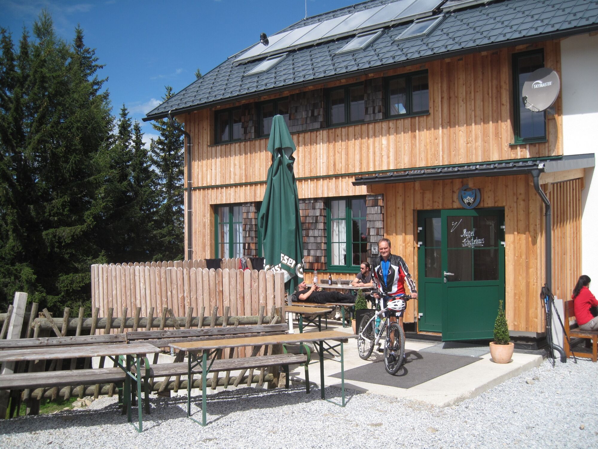
- Destinație
-
Mugelschutzhaus
- Profil de elevație
-

- Autor
-
Turul Mountain hiking trail from Leoben to the Mugel este utilizat de outdooractive.com furnizat.
GPS Downloads
Informaţii generale
Oprire pentru băuturi răcoritoare
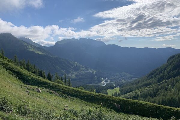
Promițător
Mai multe tururi în regiuni
-
Erzberg Leoben
2530
-
Bruckmur-Kapfenberg
1500
-
Niklasdorf
286