
- Scurtă descriere
- Greutăţi
-
uşor
- Evaluare
-
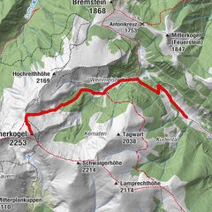
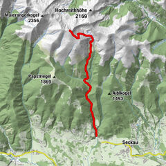
- Ruta
-
Knittelfeld0,0 kmLandschach1,6 km
- Cel mai bun sezon
-
ianfebmaraprmaiiuniulaugsepoctnovdec
- Cel mai înalt punct
- 625 m
- Destinație
-
Nähe Gasthof Hoffelner in Knittelfeld-Apfelberg
- Profil de elevație
-

-

-
AutorTurul Lässer Au Knittelfeld este utilizat de outdooractive.com furnizat.
GPS Downloads


Mai multe tururi în regiuni
-
Erlebnisregion Murtal
1780
-
Steirisches Zirbenland
710
-
Knittelfeld
160