

© Erlebnisregion Schladming-Dachstein - Schladming Dachstein

© Erlebnisregion Schladming-Dachstein - Schladming Dachstein

© Erlebnisregion Schladming-Dachstein - Schladming Dachstein

© Erlebnisregion Schladming-Dachstein - Schladming Dachstein

- Scurtă descriere
-
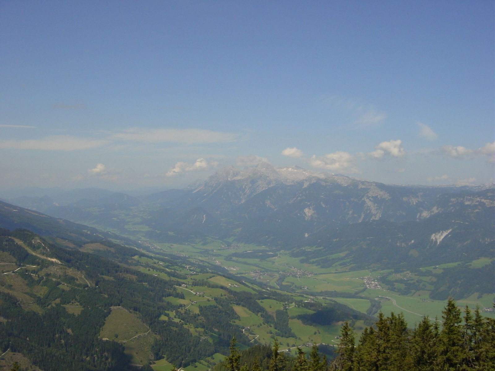
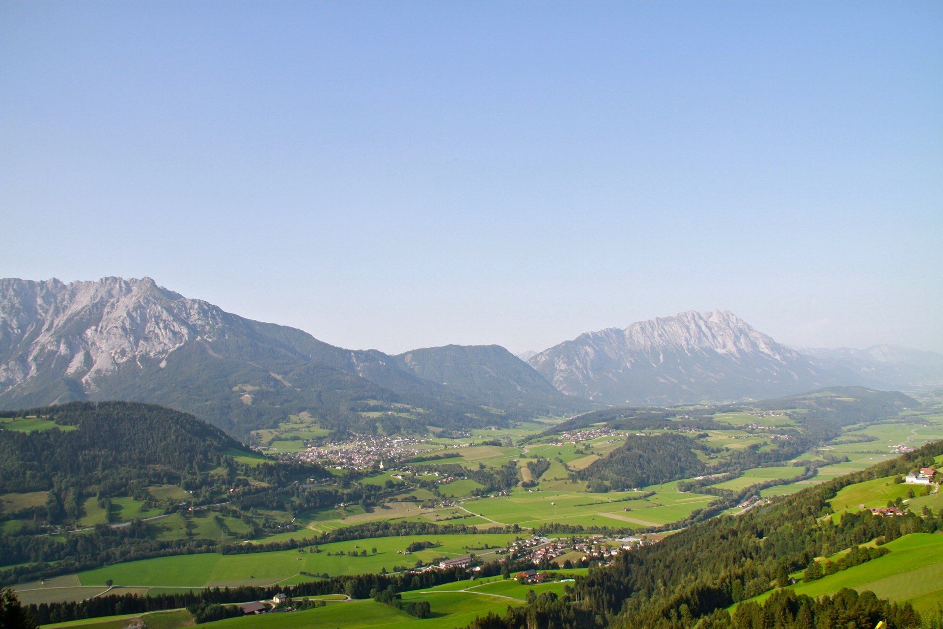
A steep forest climb leads to a scenic summit
- Greutăţi
-
mediu
- Evaluare
-
- Ruta
-
MichaelerbergKochofen (1.916 m)3,9 kmLoskögerl (1.548 m)5,1 kmMichaelerberghaus6,7 kmMichaelerberg6,8 km
- Cel mai bun sezon
-
ianfebmaraprmaiiuniulaugsepoctnovdec
- Cel mai înalt punct
- 1.889 m
- Destinație
-
Kochofen
- Profil de elevație
-


- Autor
-
Turul From the Michaelerberghaus up to the Kochofen este utilizat de outdooractive.com furnizat.
GPS Downloads


Informaţii generale
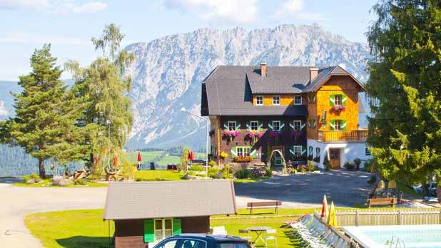
Oprire pentru băuturi răcoritoare
Flora
Fauna
Promițător
Mai multe tururi în regiuni
-
Schladming - Dachstein
2996
-
Gröbminger Land
1185
-
Michaelerberg-Pruggern
239


