Summit Tour to the Emblem of the Planneralm - the Schoberspitz


© Erlebnisregion Schladming-Dachstein - Barbara Luidold

© Erlebnisregion Schladming-Dachstein - Barbara Luidold

© Erlebnisregion Schladming-Dachstein - Barbara Luidold

- Scurtă descriere
-
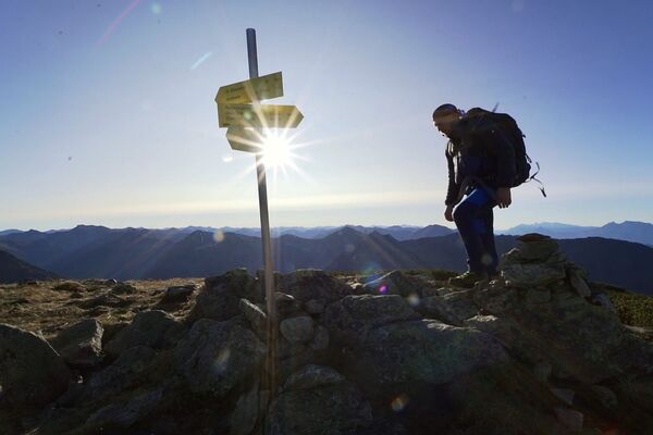
Beautiful, non-difficult summit tour over the Karlspitze to the elegant Schoberspitz.
- Greutăţi
-
mediu
- Evaluare
-
- Ruta
-
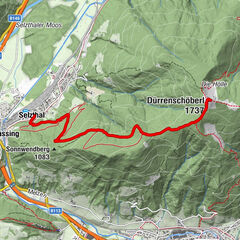
Karlspitze (2.097 m)2,9 kmKarlscharte3,3 kmSchoberspitze (2.126 m)4,2 kmKarlspitze (2.097 m)5,5 km
- Cel mai bun sezon
-
ianfebmaraprmaiiuniulaugsepoctnovdec
- Cel mai înalt punct
- 2.110 m
- Destinație
-
Parkplace Planneralm-at the lift terminal
- Profil de elevație
-


- Autor
-
Turul Summit Tour to the Emblem of the Planneralm - the Schoberspitz este utilizat de outdooractive.com furnizat.
GPS Downloads


Informaţii generale
Oprire pentru băuturi răcoritoare
Flora
Fauna
Promițător
Mai multe tururi în regiuni