© TV Gesäuse - Tourismusverband Gesäuse

© Gesäuse - Admont

© Tourismusverband Gesäuse

© TV Gesäuse - Tourismusverband Gesäuse

© TV Gesäuse - Tourismusverband Gesäuse

© TV Gesäuse - Tourismusverband Gesäuse

© TV Gesäuse - Tourismusverband Gesäuse

© TV Gesäuse - Tourismusverband Gesäuse

- Scurtă descriere
-
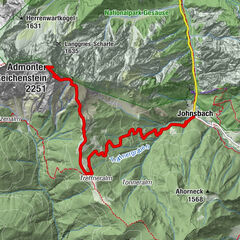
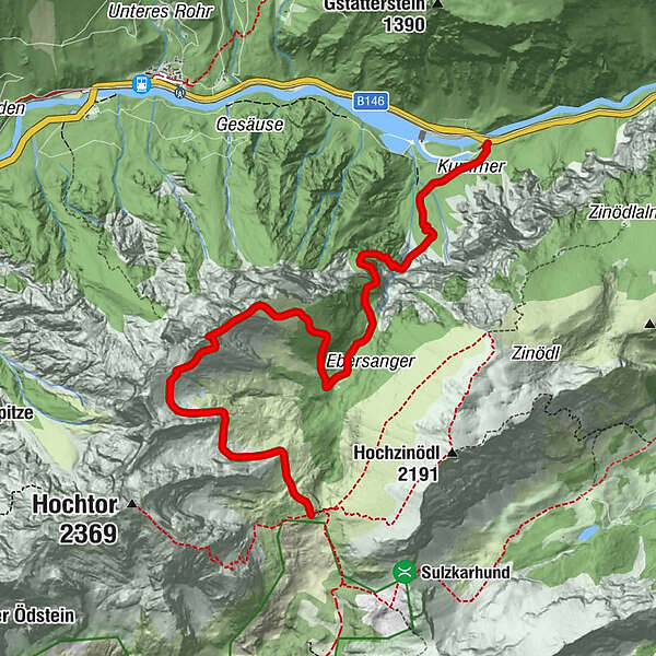
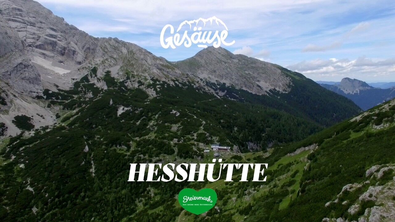
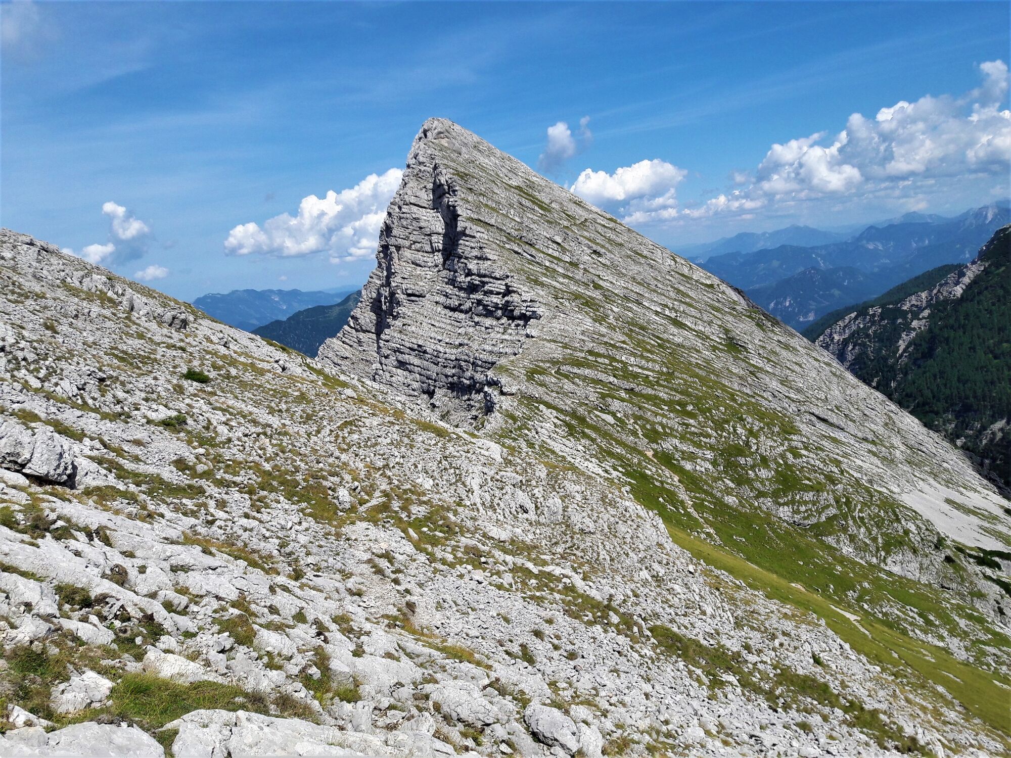
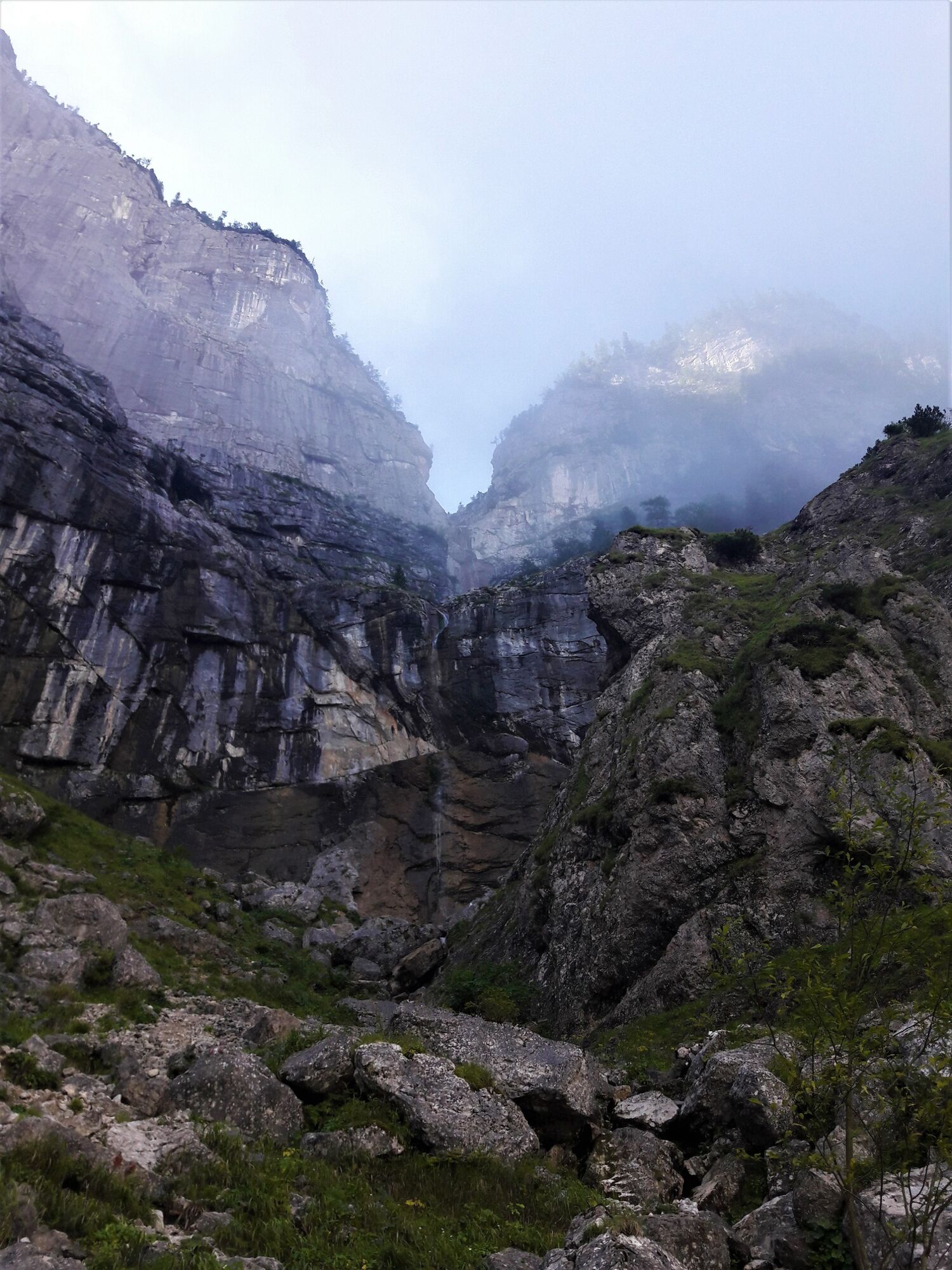
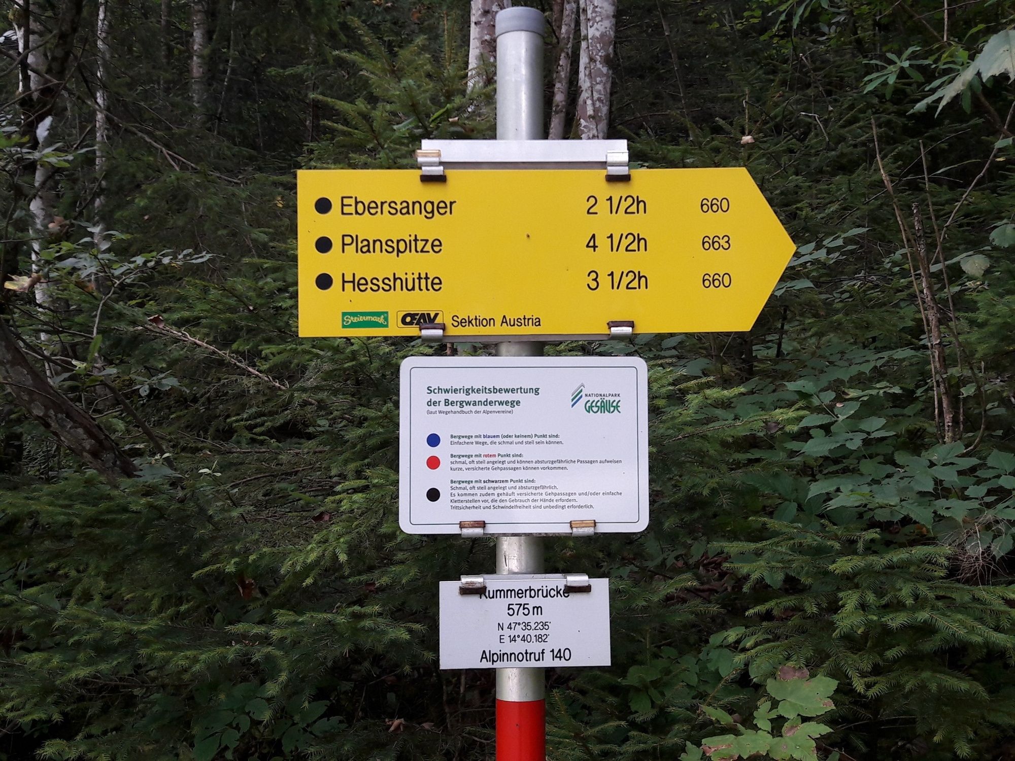
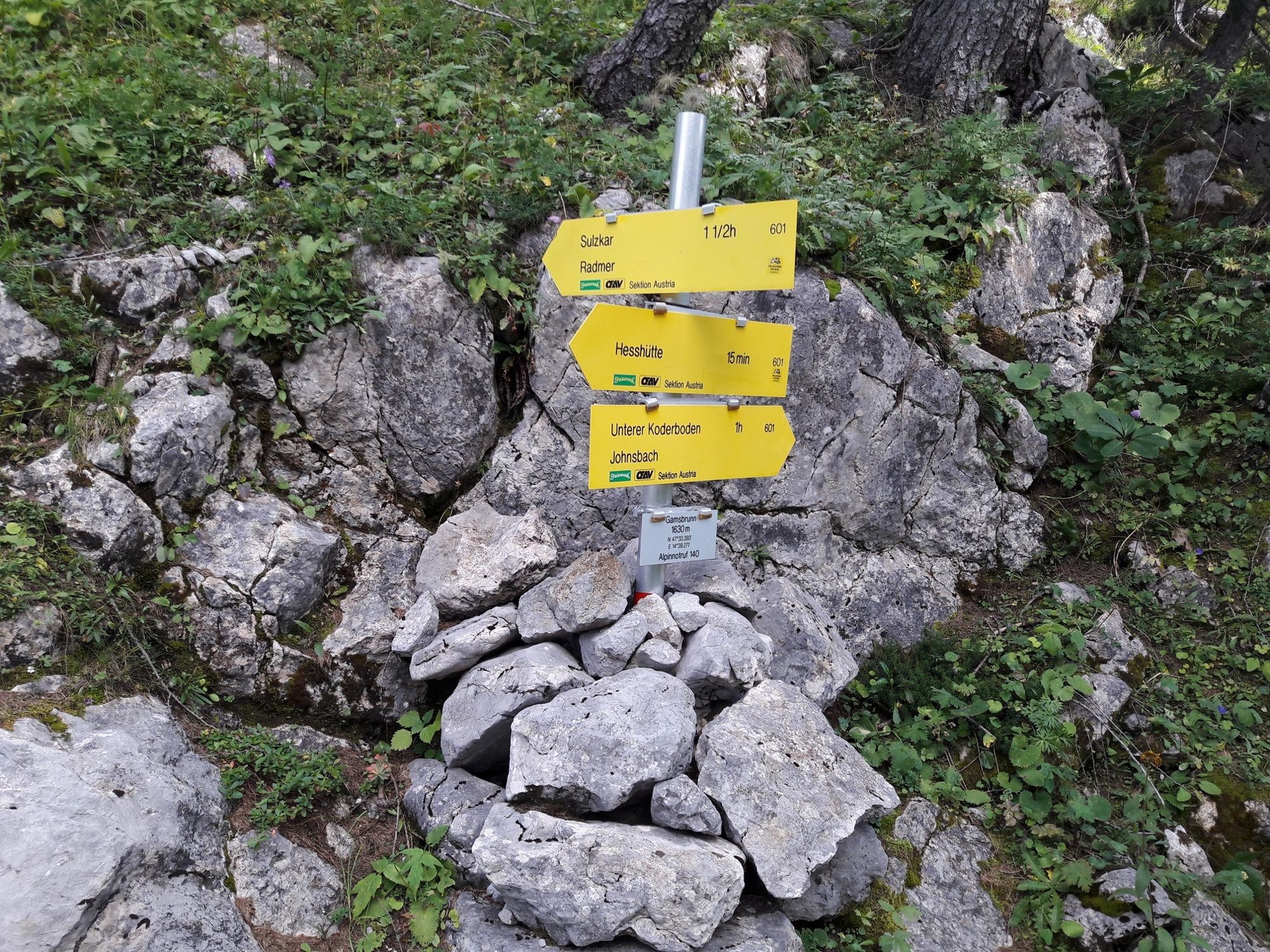
Via the Klettsteig passages of the waterfall path and the Kölblplan you cross the Planspitze. On the descent the path leads to the famous Heßhütt
- Greutăţi
-
greu
- Evaluare
-
- Ruta
-
Planspitze (2.114 m)2,7 km
- Cel mai bun sezon
-
ianfebmaraprmaiiuniulaugsepoctnovdec
- Cel mai înalt punct
- 2.089 m
- Destinație
-
Heßhütte - 1.699 m
- Profil de elevație
-


-

-
AutorTurul Via the waterfall path and the Planspitze to the Hesshütte este utilizat de outdooractive.com furnizat.
GPS Downloads


Informaţii generale
Oprire pentru băuturi răcoritoare
Promițător
Mai multe tururi în regiuni
-
Gesäuse
2221
-
Steyr und die Nationalpark Region
1369
-
Radmer
238