© Tourismusverband Region Murau - Tom Lamm

© Tourismusverband Region Murau - Tom Lamm

- Scurtă descriere
-
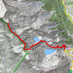
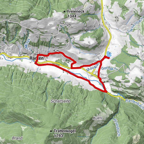
This family hike leads over the Ranten-Bichl to the Rottenmanner lake and further along the Rantenbach back to the starting point.
- Greutăţi
-
uşor
- Evaluare
-
- Ruta
-
Ranten0,0 kmWasserloadkreuz0,5 kmRottenmann3,0 kmRottenmanner-Kapelle3,1 kmTratten6,9 kmRanten8,1 km
- Cel mai bun sezon
-
ianfebmaraprmaiiuniulaugsepoctnovdec
- Cel mai înalt punct
- 973 m
- Destinație
-
Ranten
- Profil de elevație
-

- Autor
-
Turul Circular route to the Rottenmanner Teich este utilizat de outdooractive.com furnizat.
GPS Downloads


Mai multe tururi în regiuni
-
TourismusRegion Murau
1743
-
Naturpark Sölktäler
927
-
Ranten
157