

© Erlebnisregion Schladming-Dachstein - Schladming Dachstein

© Erlebnisregion Schladming-Dachstein - Schladming Dachstein
- Scurtă descriere
-
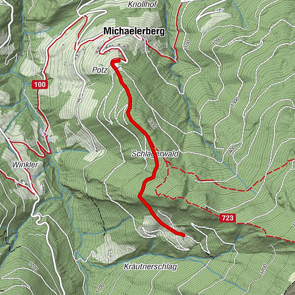
Easy family hike from the scenic Michaelerberghaus to the Stiegleralm.
- Greutăţi
-
uşor
- Evaluare
-
- Ruta
-
MichaelerbergMichaelerberghaus0,0 km
- Cel mai bun sezon
-
ianfebmaraprmaiiuniulaugsepoctnovdec
- Cel mai înalt punct
- 1.394 m
- Destinație
-
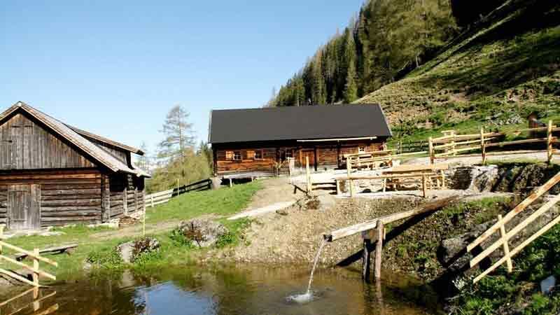
Stieglerhütte
- Profil de elevație
-

-

-
AutorTurul Hike from the Michaelerberghaus to the Stiegler Hütte este utilizat de outdooractive.com furnizat.
GPS Downloads


Informaţii generale
Oprire pentru băuturi răcoritoare
Flora
Fauna
Promițător
Mai multe tururi în regiuni
-
Schladming - Dachstein
2999
-
Gröbminger Land
1192
-
Michaelerberg-Pruggern
234


