

© Erlebnisregion Schladming-Dachstein - Schladming Dachstein - TVB Gröbminger Land
© Erlebnisregion Schladming-Dachstein - Schladming Dachstein

Informaţii pentru tur
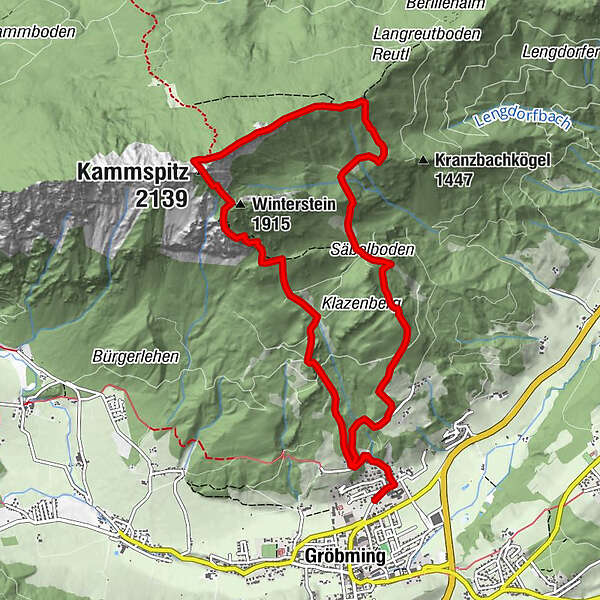
11,63km
777
- 2.106m
1.318hm
1.322hm
06:00h
- Scurtă descriere
-
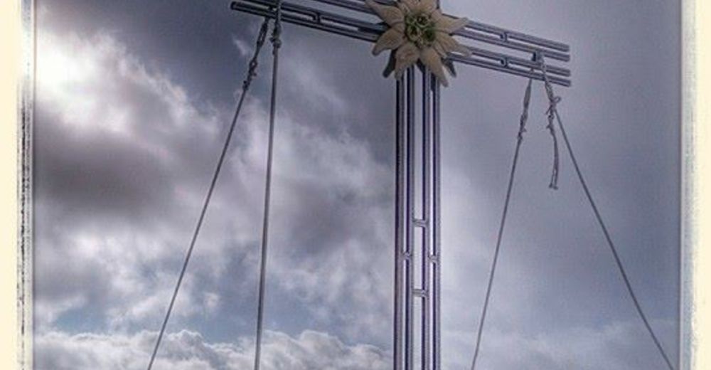
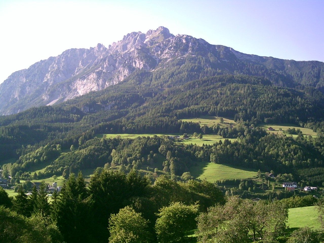
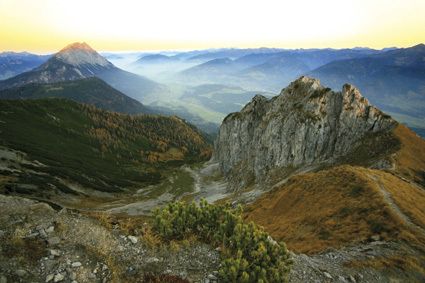
Steep and long ascent to the tin-reinforced rocky crest of the Kammspitze above Gröbming.
- Greutăţi
-
greu
- Evaluare
-
- Ruta
-
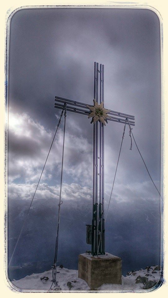
Hofmanning0,4 kmZirmel5,3 kmKammspitz (2.139 m)7,0 kmWinterstein (1.915 m)7,5 kmHofmanning11,2 km
- Cel mai bun sezon
-
ianfebmaraprmaiiuniulaugsepoctnovdec
- Cel mai înalt punct
- 2.106 m
- Destinație
-
Gröbming – Car park near the cemetery at the eastern edge of town
- Profil de elevație
-

- Autor
-
Turul To the Top of the Gröbminger Kammspitze - elev. 2.139 m este utilizat de outdooractive.com furnizat.
GPS Downloads


Informaţii generale
Flora
Fauna
Promițător
Mai multe tururi în regiuni
-
Schladming - Dachstein
2999
-
Gröbminger Land
1192
-
Gröbming
244


