© Region Graz - Meike Brucher

© Region Graz - Meike Brucher

© Region Graz - Meike Brucher

© Region Graz - Meike Brucher

© Region Graz - Meike Brucher

- Scurtă descriere
-
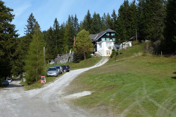
Beautiful, leisurely hike on Silberberg and back through the Stübingtal valley.
tiful, leisurely hike on Silberberg and back through the Stübingtal valley.
- Greutăţi
-
uşor
- Evaluare
-
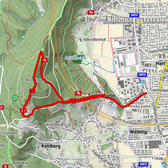
- Ruta
-
Großstübinger Stub´nHl. Anna0,1 kmGroßstübing0,1 kmGroßstübinger Stub´n8,8 kmGroßstübing8,9 km
- Cel mai bun sezon
-
ianfebmaraprmaiiuniulaugsepoctnovdec
- Cel mai înalt punct
- 910 m
- Destinație
-
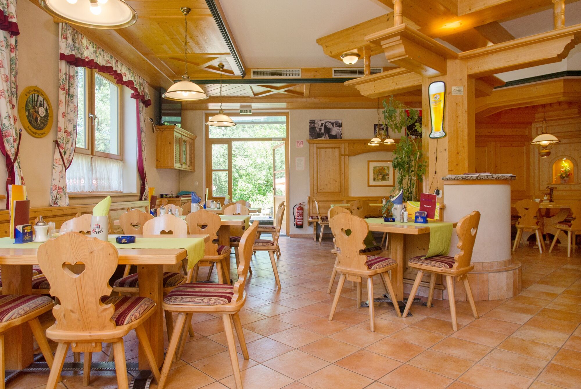
Variant a) starting point, or variant b) the Bernthaler inn in Deutschfeistritz
- Profil de elevație
-


- Autor
-
Turul Hike across Silberberg mountain above Grossstübing este utilizat de outdooractive.com furnizat.
GPS Downloads


Mai multe tururi în regiuni
-
Erlebnisregion Graz
2780
-
OberGraz
1731
-
Übelbach
327