© Tourismusverband Region Murau - Jasmin Schmidt

- Scurtă descriere
-
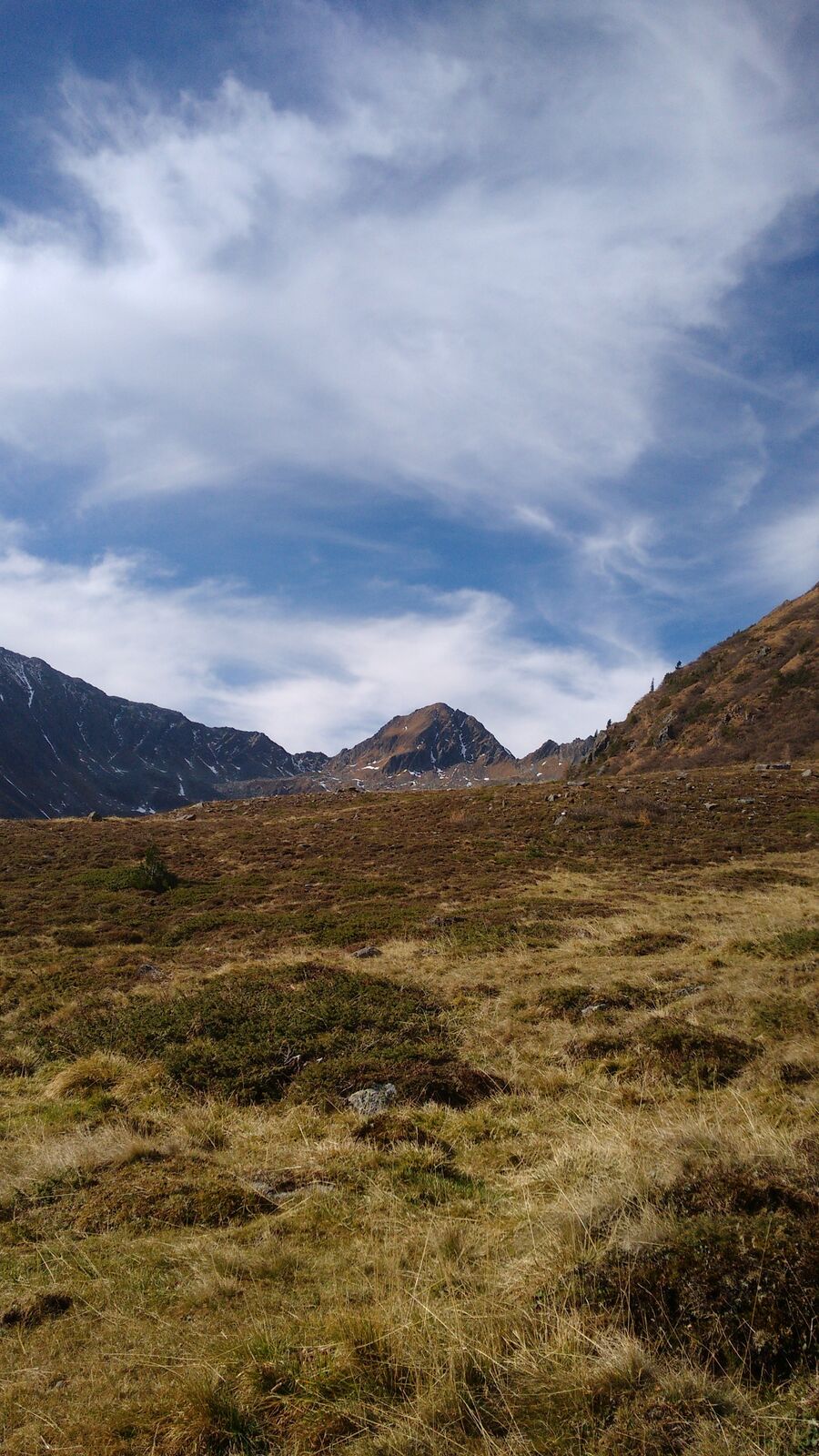
A challenging hiking trail with magnificent views of the surrounding mountains of the Ennstal Alps.
- Greutăţi
-
greu
- Evaluare
-
- Ruta
-
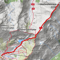
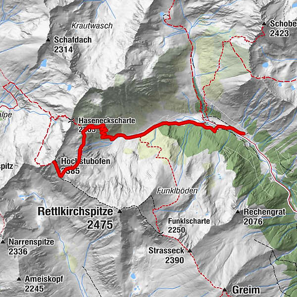
Rocklscharte4,9 kmHochstubofen (2.385 m)5,3 km
- Cel mai bun sezon
-
ianfebmaraprmaiiuniulaugsepoctnovdec
- Cel mai înalt punct
- 2.361 m
- Destinație
-
Hochstubofen
- Profil de elevație
-

- Autor
-
Turul Hochstubofen este utilizat de outdooractive.com furnizat.
GPS Downloads


Informaţii generale
Oprire pentru băuturi răcoritoare
Sfat din interior
Promițător
Mai multe tururi în regiuni
-
TourismusRegion Murau
1745
-
Naturpark Sölktäler
929
-
Schöder
199