© Erlebnisregion Schladming-Dachstein - Armin Walcher

© Erlebnisregion Schladming-Dachstein - Armin Walcher

© Erlebnisregion Schladming-Dachstein - Armin Walcher

© Erlebnisregion Schladming-Dachstein - Armin Walcher
- Scurtă descriere
-
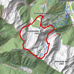
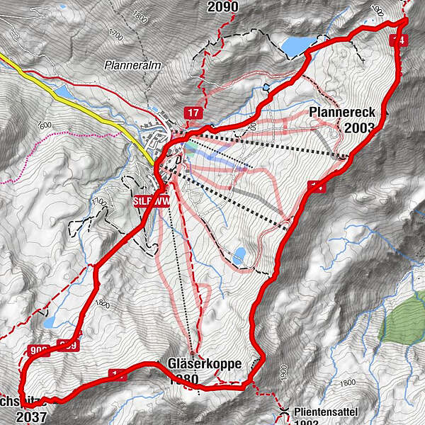
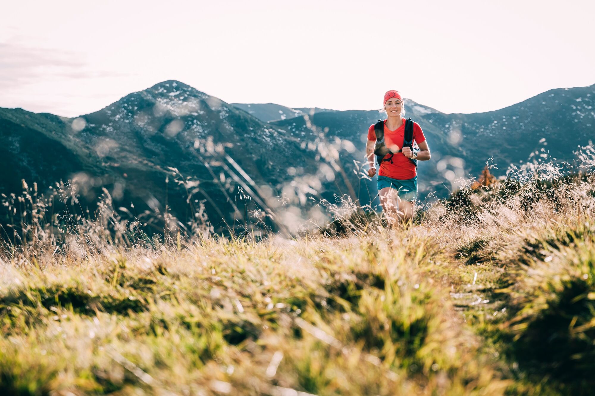
The alpine single trail on narrow climbs and paths is peppered with 5 gifpeln and technical trails.
- Greutăţi
-
greu
- Evaluare
-
- Ruta
-
Bergrettungshütte0,1 kmPlannereck (2.003 m)2,5 kmKleiner Rotbühel (1.912 m)3,7 kmGroßer Rotbühel (2.019 m)4,5 kmGläserkoppe (1.980 m)5,1 kmJochspitze (2.037 m)5,9 kmGoldbachscharte (1.960 m)6,2 km
- Cel mai bun sezon
-
ianfebmaraprmaiiuniulaugsepoctnovdec
- Cel mai înalt punct
- 2.023 m
- Destinație
-
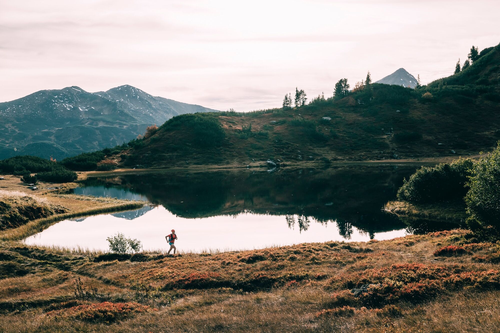
Mountain rescue hut Planneralm
- Profil de elevație
-


-

-
AutorTurul Summit Trail Planneralm este utilizat de outdooractive.com furnizat.
GPS Downloads


Informaţii generale
Promițător
Mai multe tururi în regiuni