© Erlebnisregion Thermen- & Vulkanland - TV Gnas-St. Peter am Ottersbach

© Erlebnisregion Thermen- & Vulkanland - TV Gnas-St. Peter am Ottersbach
© Erlebnisregion Thermen- & Vulkanland - TV Gnas-St. Peter am Ottersbach

© Erlebnisregion Thermen- & Vulkanland - TV Gnas-St. Peter am Ottersbach

© Erlebnisregion Thermen- & Vulkanland - TV Gnas-St. Peter am Ottersbach

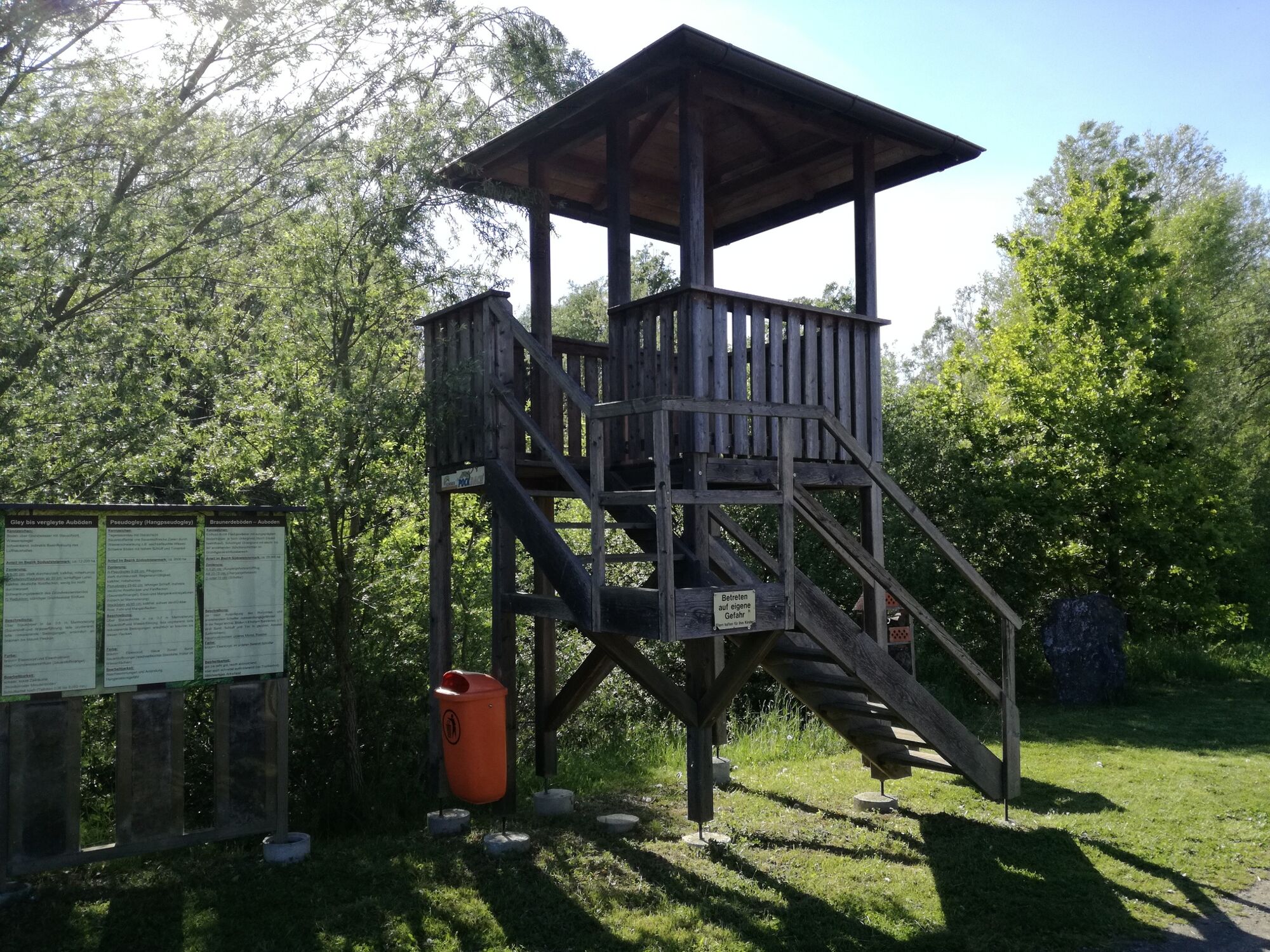
© Erlebnisregion Thermen- & Vulkanland - Daniela Neubauer

© Erlebnisregion Thermen- & Vulkanland - Daniela Neubauer

© Erlebnisregion Thermen- & Vulkanland - Daniela Neubauer
- Scurtă descriere
-
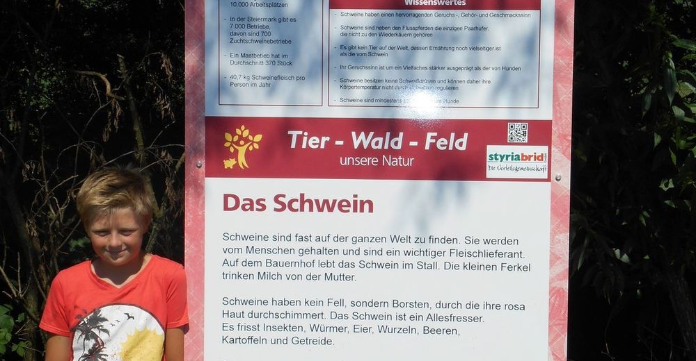
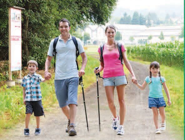
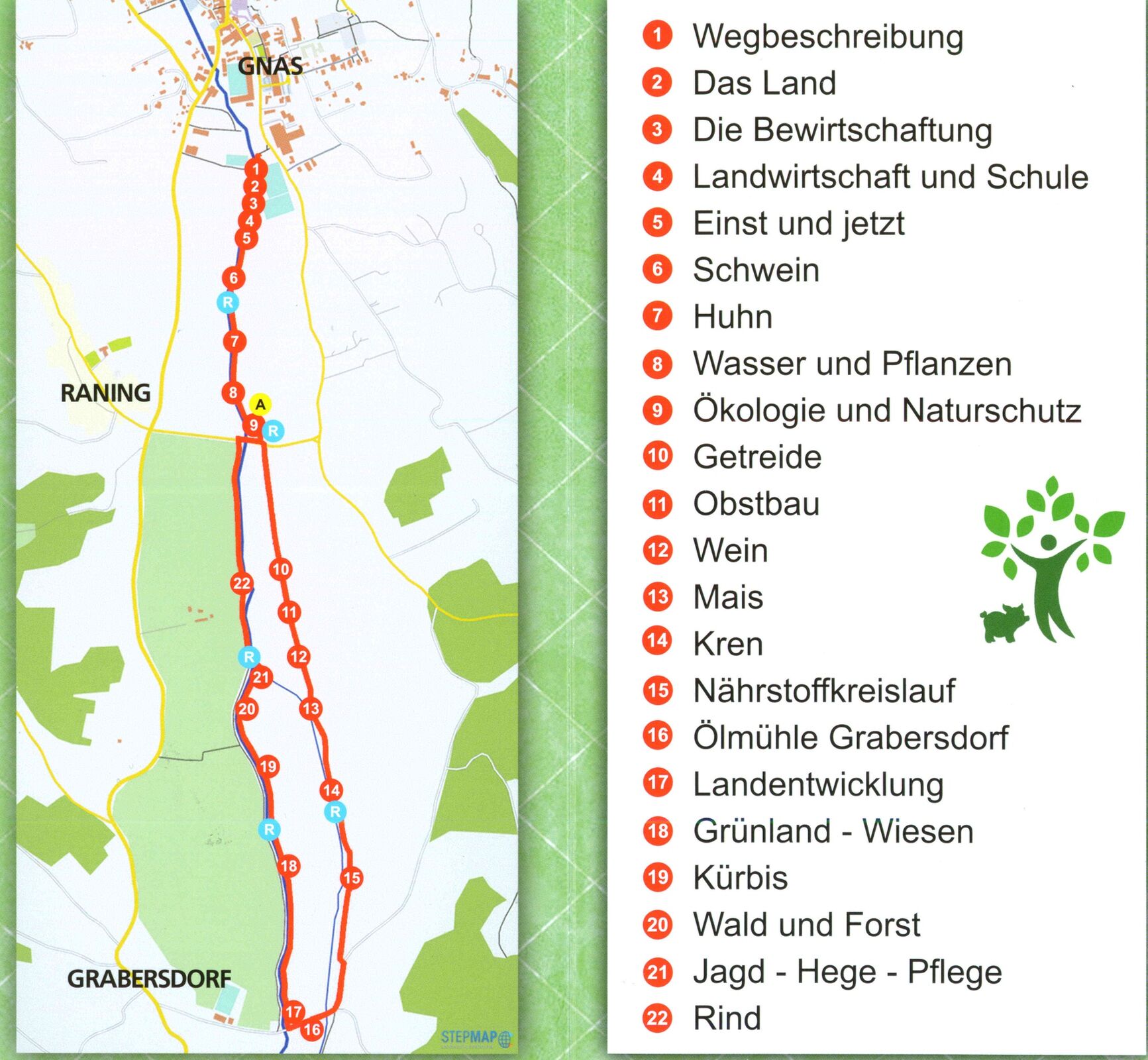
Let's experience the fascination of nature and learn interesting facts about the southeast Styrian landscape and agriculture! Beautiful path along the Gnasbach stream.
- Greutăţi
-
uşor
- Evaluare
-
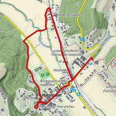
- Ruta
-
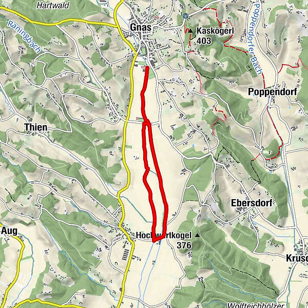
Raning0,7 kmGrabersdorf3,3 kmRaning5,5 km
- Cel mai bun sezon
-
ianfebmaraprmaiiuniulaugsepoctnovdec
- Cel mai înalt punct
- 272 m
- Destinație
-
Sportplatz Gnas
- Profil de elevație
-


- Autor
-
Turul Tier-Wald-Feld - Landwirtschaftlicher Themenweg este utilizat de outdooractive.com furnizat.
GPS Downloads


Mai multe tururi în regiuni
-
Oststeiermark
2126
-
Bad Gleichenberg
372
-
Gnas
141