© TVB Thermen- & Vulkanland - Werner Krug

© Marktgemeinde Gnas

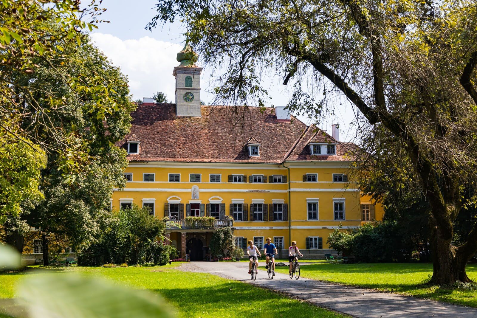
© Erlebnisregion Thermen- & Vulkanland - Christian Contola

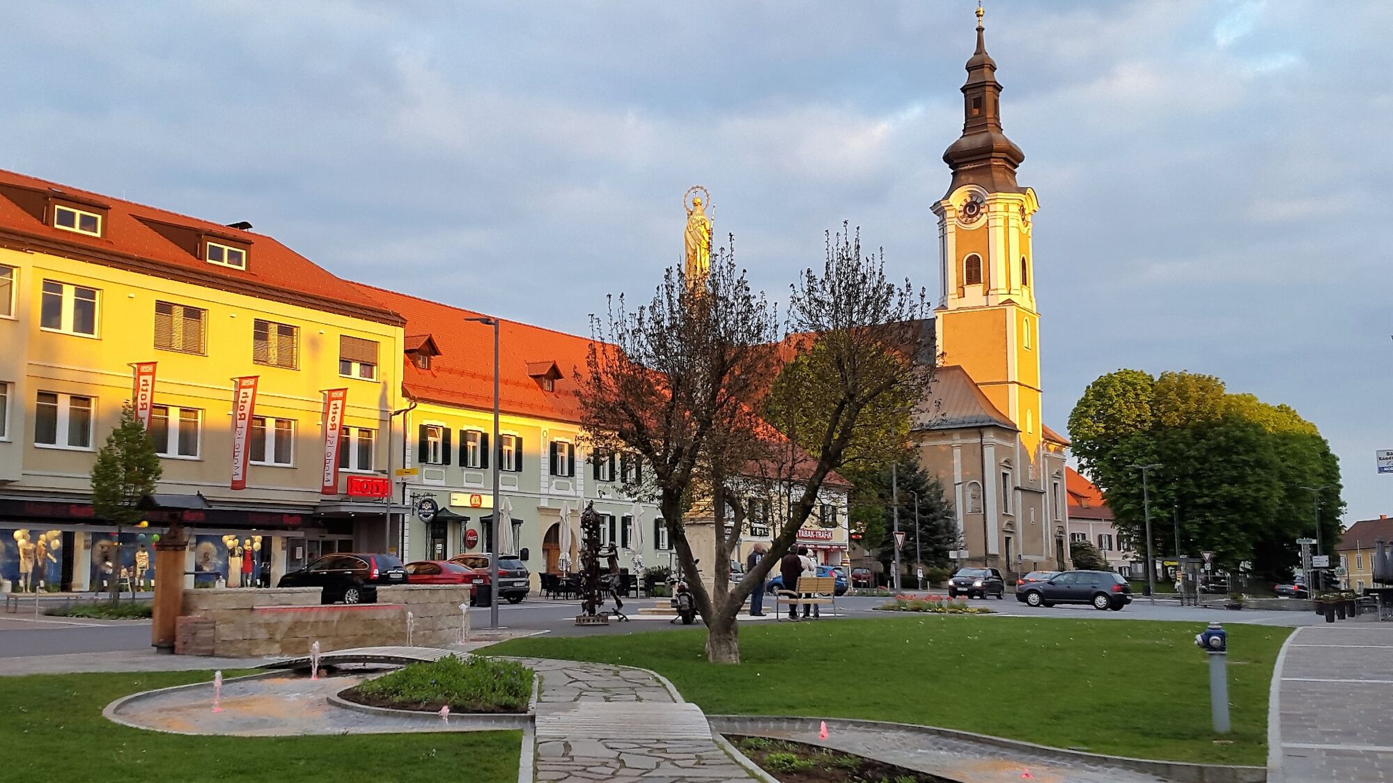
© Marktgemeinde Gnas

© Erlebnisregion Thermen- & Vulkanland - Daniela Neubauer

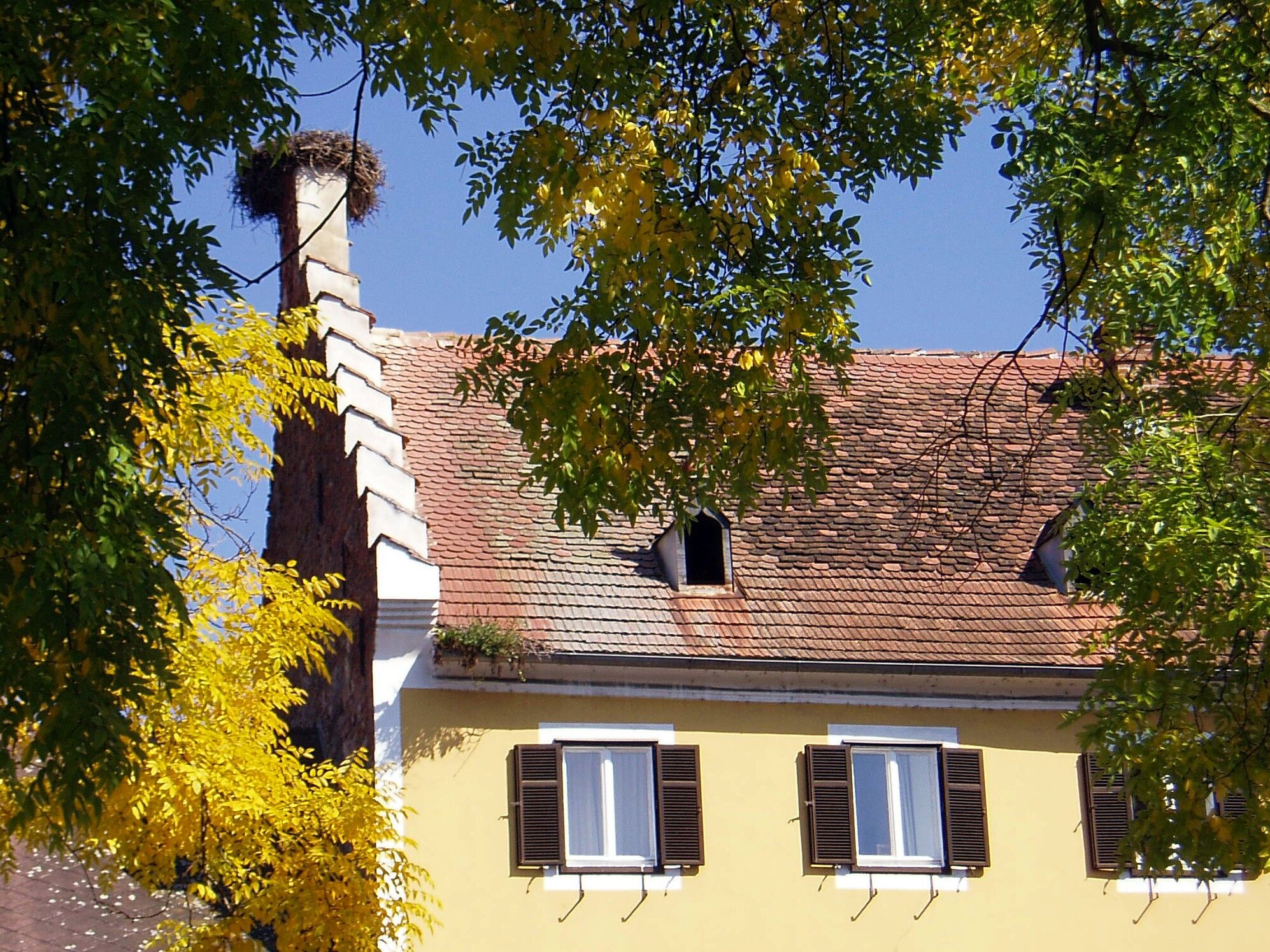
© Erlebnisregion Thermen- & Vulkanland - Daniela Neubauer

© TVB Gnas

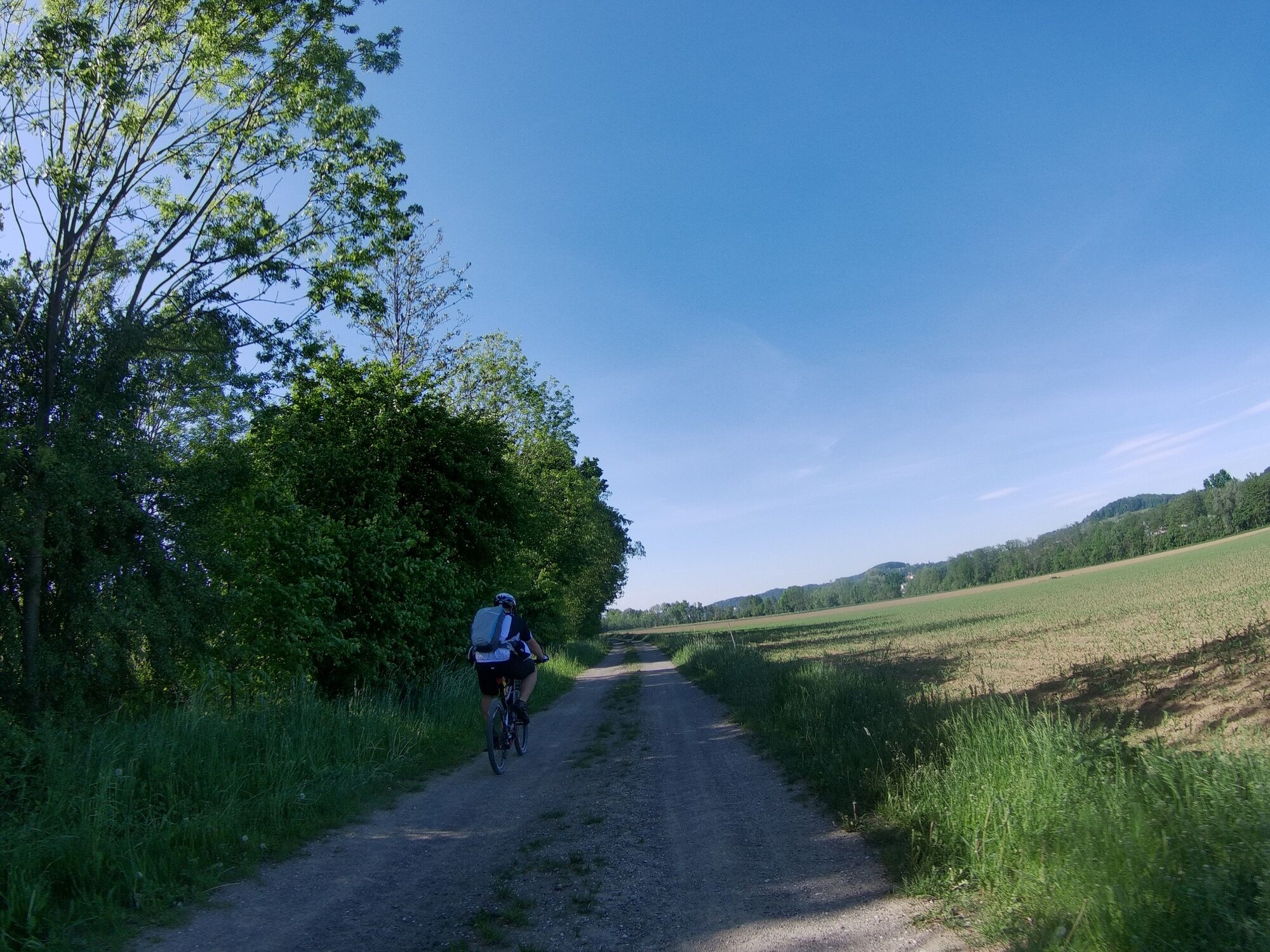
© Erlebnisregion Thermen- & Vulkanland - Daniela Neubauer

© TVB Thermen- & Vulkanland - Werner Krug

© Region Bad Gleichenberg | Thermen- & Vulkanland Steiermark - Daniela Neubauer
- Scurtă descriere
-
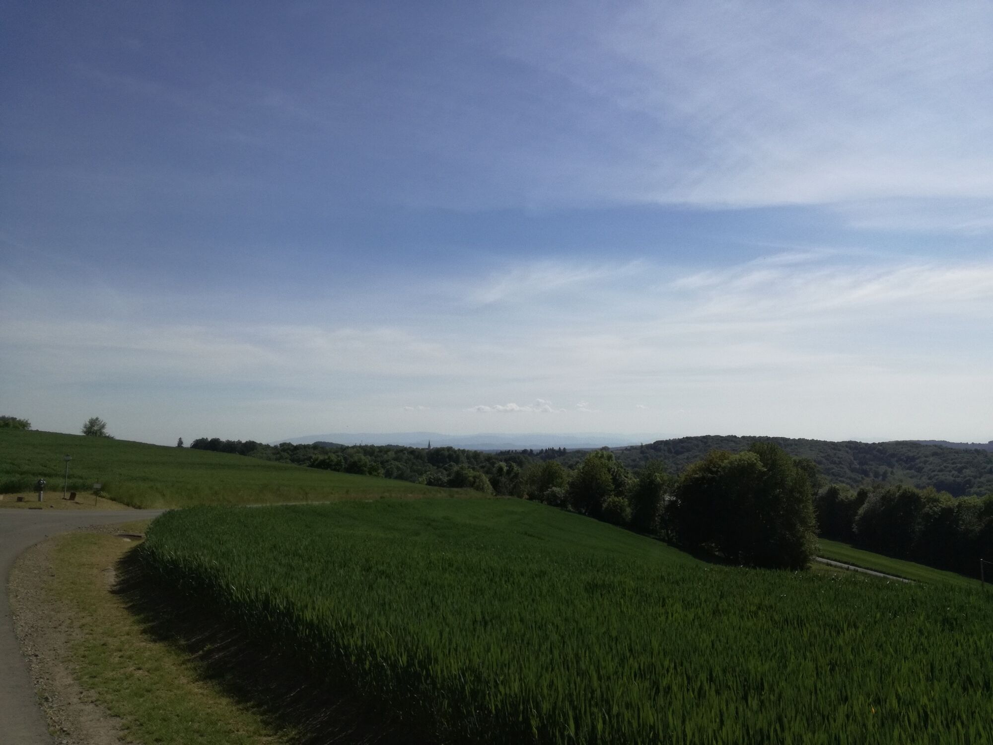
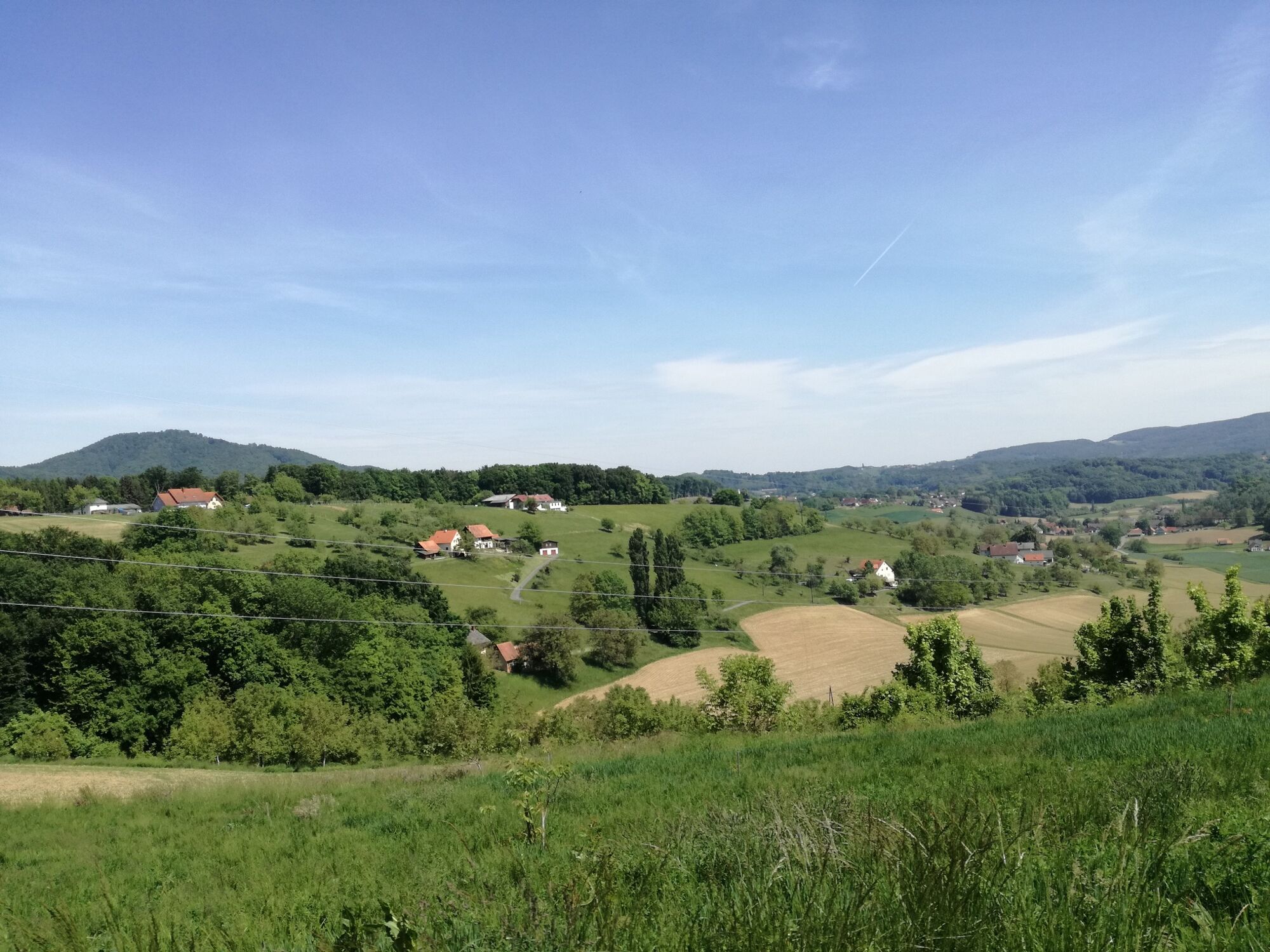
Immerse yourself in the Gnas region and get to know a special breed of people and dialect.
- Greutăţi
-
mediu
- Evaluare
-
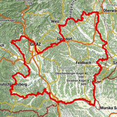
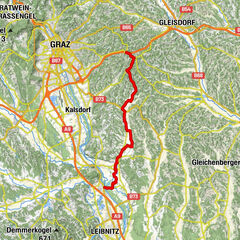
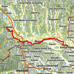
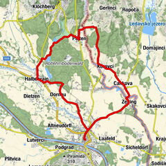
- Ruta
-
Lichtenbergen1,3 kmKleindörfl2,3 kmEisenberg3,3 kmEbersdorf4,0 kmBircheregg4,9 kmDorfkapelle Krusdorf5,5 kmKrusdorf5,6 kmGasthaus Hesch6,8 kmPoppendorfberg10,6 kmWaxenegg11,0 kmHochegg13,2 kmLudersdorf13,9 kmHohewart20,2 kmWarth20,6 kmLamberg (416 m)26,0 kmTrummer-Kapelle28,9 kmGatteregg28,9 kmLichtenegg33,0 kmKögerlegg (440 m)35,0 kmRieglberg36,6 kmOberauersbach37,6 kmDornfeld38,8 kmOberzirknitz39,1 kmNieslkapelle40,4 kmGstättenfeld40,4 kmRadisch43,0 kmAug43,9 kmAugberg44,1 kmGrabersdorf47,4 kmDie Mühle47,4 kmKapelle Grabersdorf47,4 kmRaning50,3 km
- Cel mai bun sezon
-
ianfebmaraprmaiiuniulaugsepoctnovdec
- Cel mai înalt punct
- 450 m
- Destinație
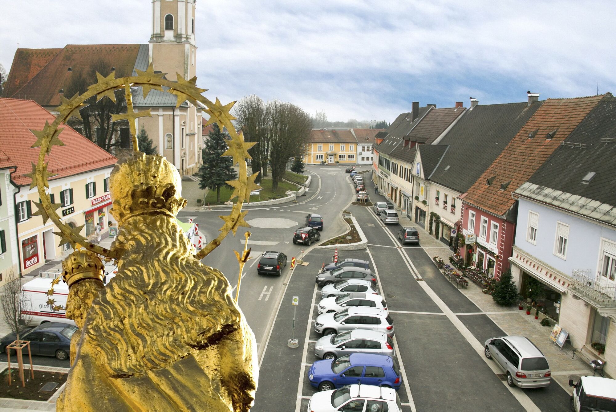
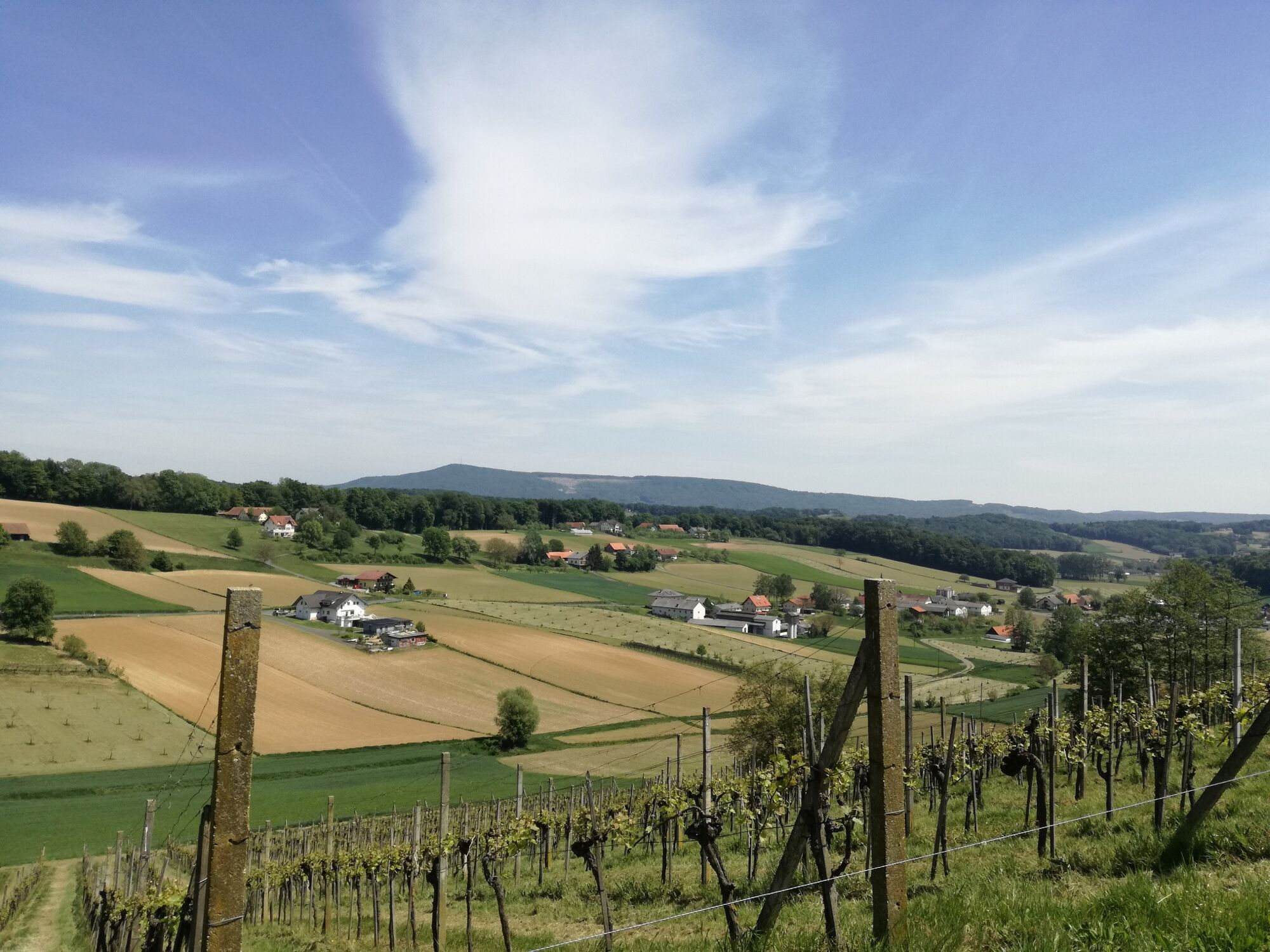
-
Gnas
- Profil de elevație
-


-

-
AutorTurul Tatschkerland tour (Tatschkerland Tour) este utilizat de outdooractive.com furnizat.
GPS Downloads


Informaţii generale
Oprire pentru băuturi răcoritoare
Cultural/Istoric
Promițător
Mai multe tururi în regiuni
-
Oststeiermark
375
-
Bad Gleichenberg
169
-
Gnas
49