© Erlebnisregion Schladming-Dachstein - Schladming Dachstein

© Erlebnisregion Schladming-Dachstein - Gerhard Pilz

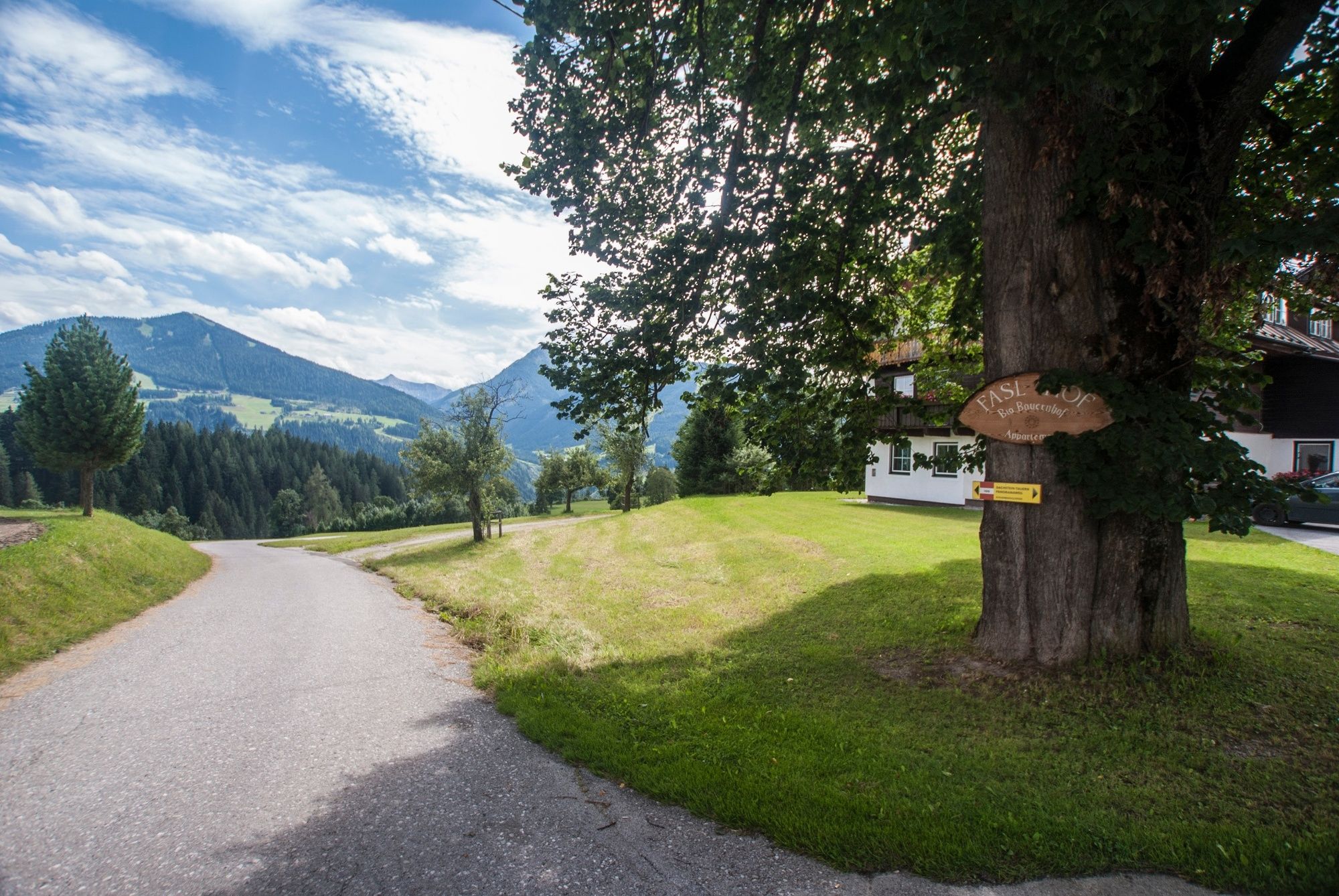
© Erlebnisregion Schladming-Dachstein - Gerhard Pilz

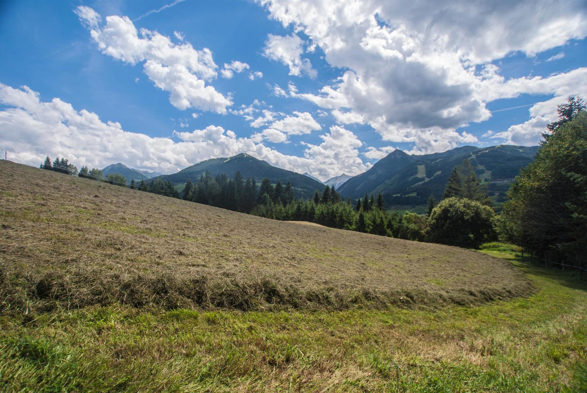
© Erlebnisregion Schladming-Dachstein - Gerhard Pilz

© Erlebnisregion Schladming-Dachstein - Schladming Dachstein

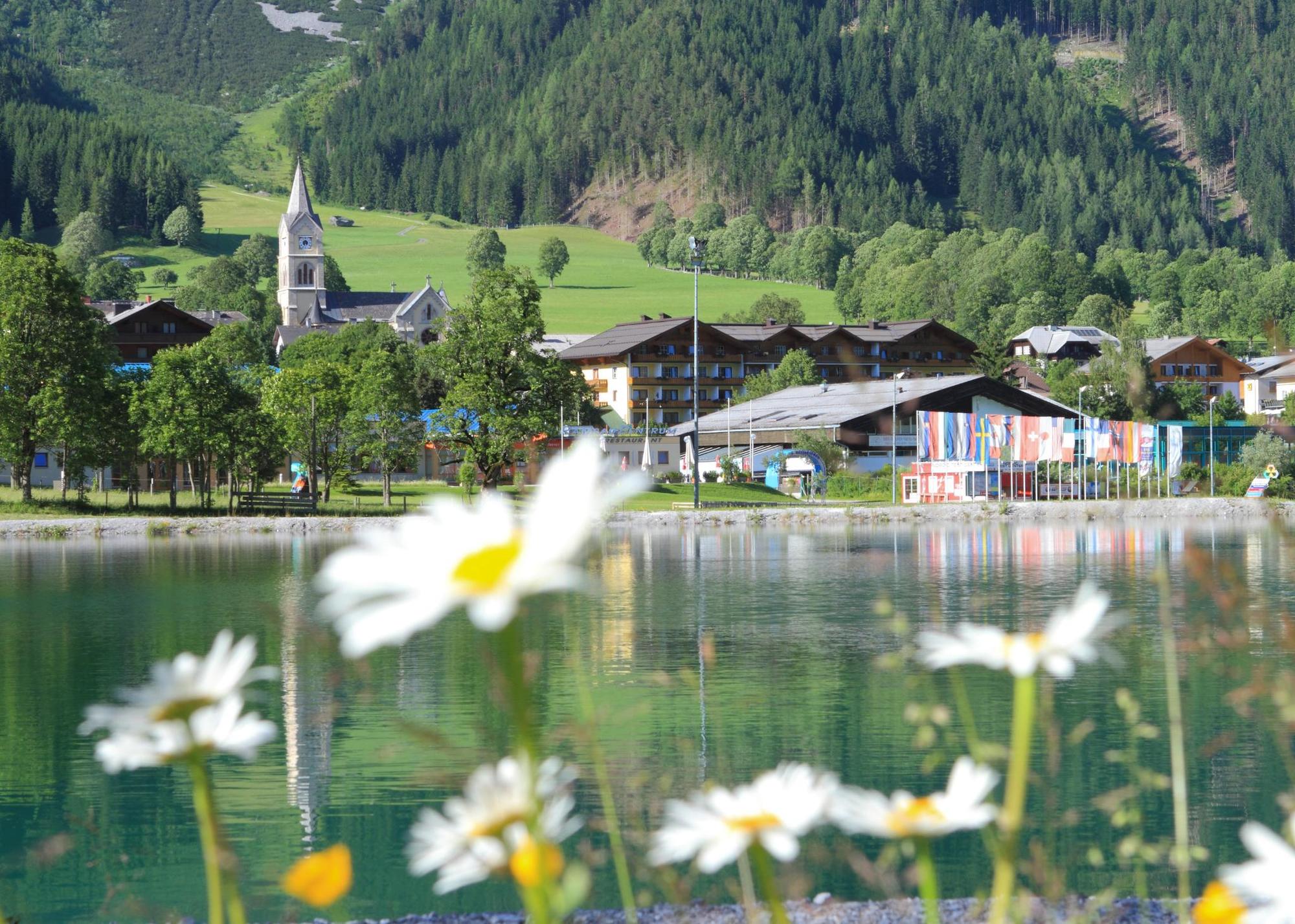
© Erlebnisregion Schladming-Dachstein - Martin Huber

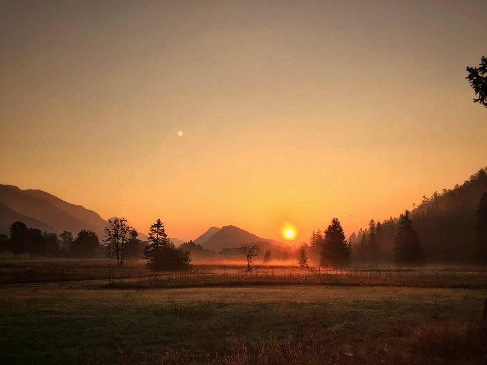
© Erlebnisregion Schladming-Dachstein - Melanie Schaumberger

© Erlebnisregion Schladming-Dachstein - Schladming Dachstein

Informaţii pentru tur
49,79km
658
- 1.181m
1.256hm
1.421hm
18:00h
- Scurtă descriere
-
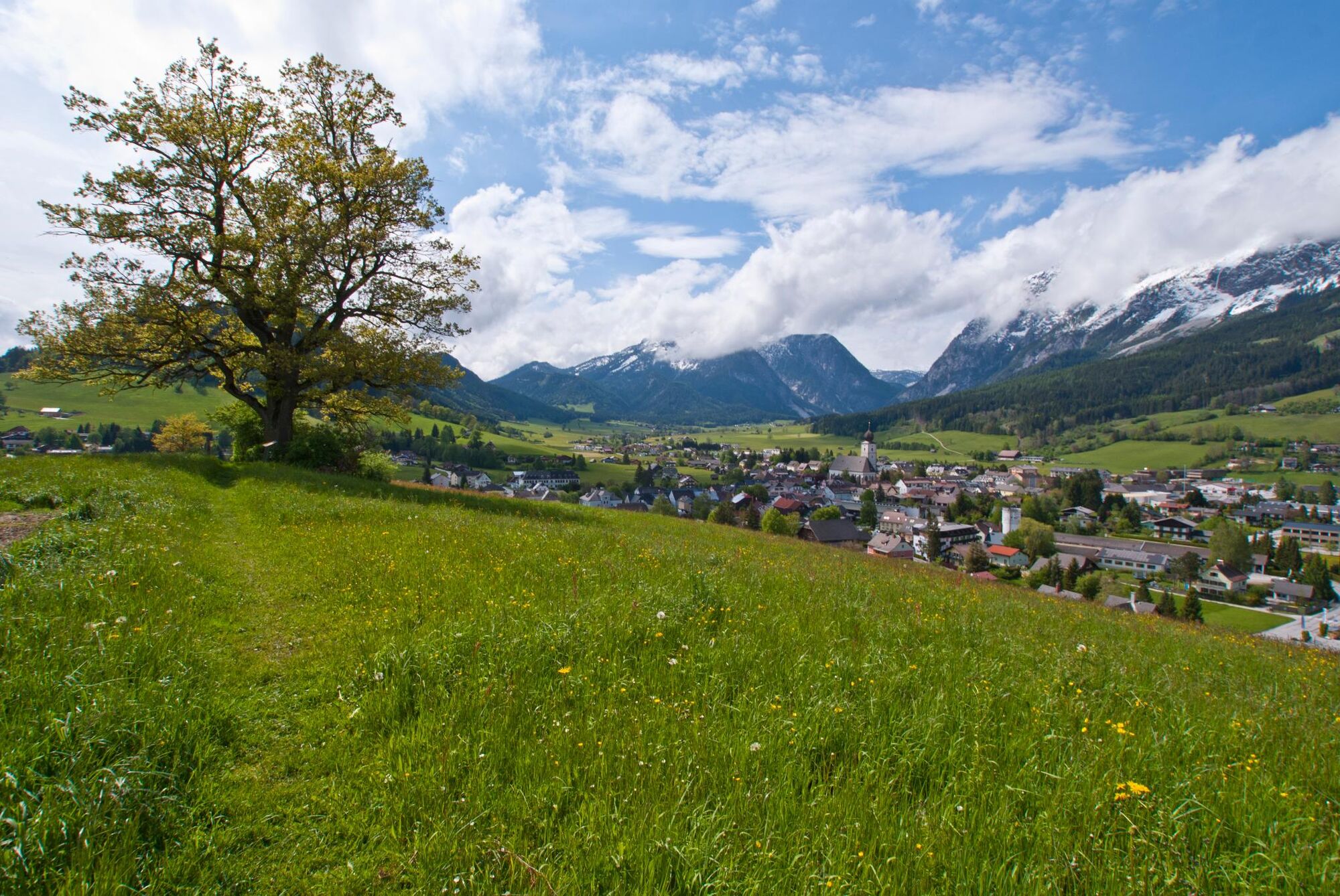
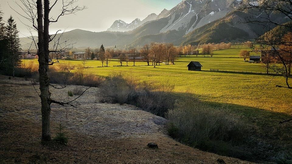
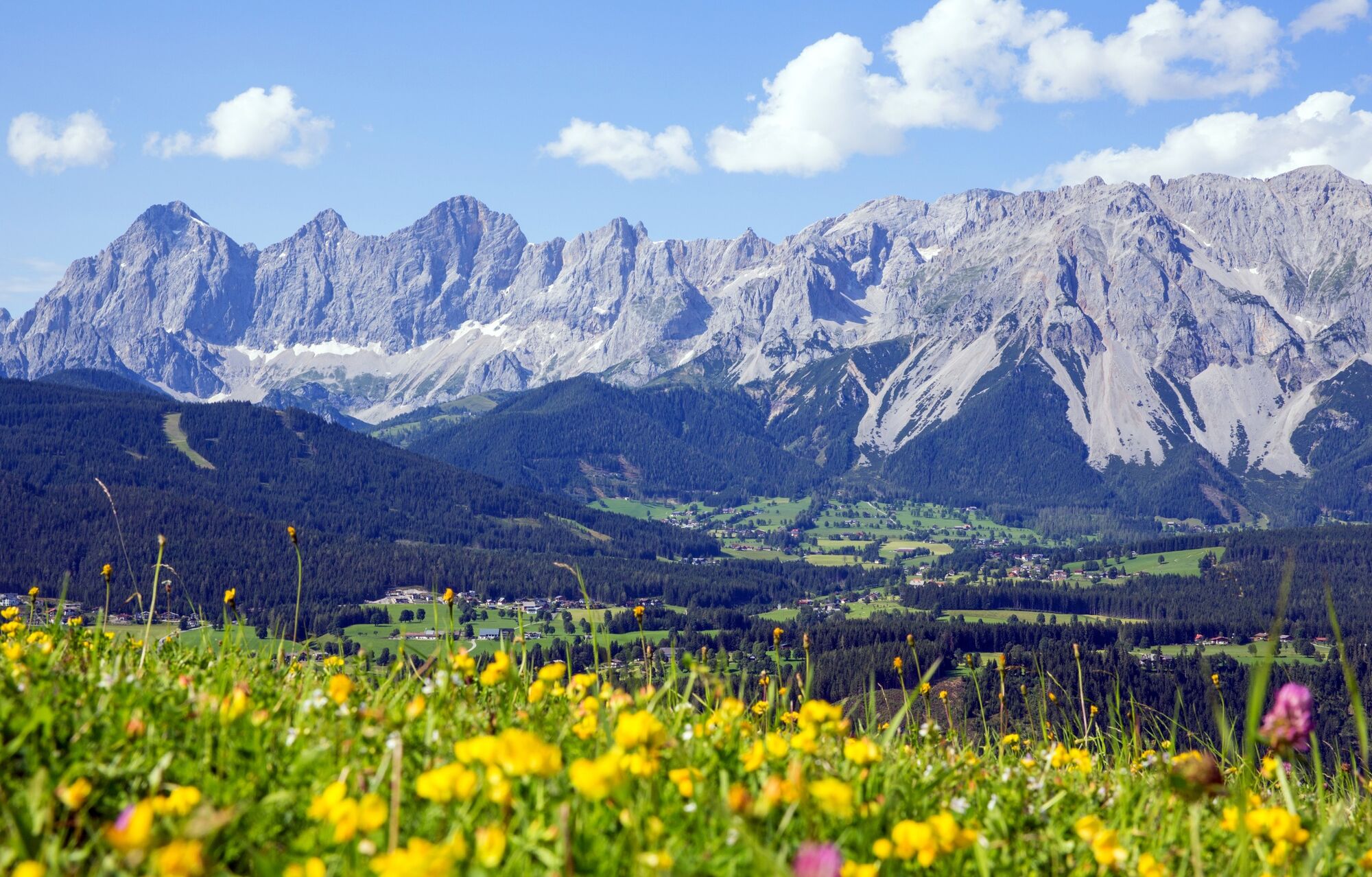
A hiking enjoyment pure is expecting you at the Panoramaweg 100. A loop hiking trail on the left or on the right-hand side of the Enns, with a length of 117 km and at an altitude from 700m to 1300m.
- Greutăţi
-
uşor
- Evaluare
-
- Ruta
-
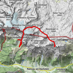
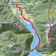
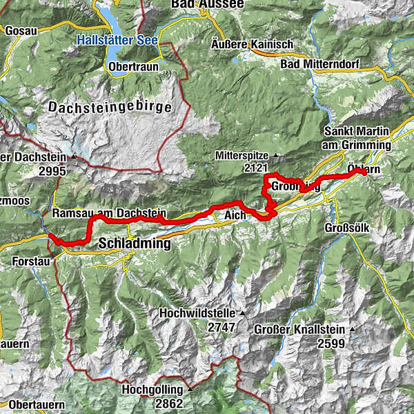
MandlingWarterdorf2,0 kmJausenplatzl Astlhof5,1 kmRamsau am Dachstein9,5 kmWaldschenke9,5 kmKulm11,4 kmSt. Rupert am Kulm11,4 kmSattelberghütte13,7 kmWeißenbach21,0 kmSonnberg23,2 kmAssach26,7 kmPfarrkirche St. Nikolaus26,7 kmPruggern30,1 kmHotel Pruggererhof30,2 kmKunagrün30,8 kmGröbmingeralm34,9 kmJausenstation Stodermaut35,2 kmWeyern36,8 kmHofmanning40,7 kmHäuserl im Wald44,8 kmGersdorfer Wald46,8 kmÖblarn49,6 km
- Cel mai bun sezon
-
ianfebmaraprmaiiuniulaugsepoctnovdec
- Cel mai înalt punct
- 1.181 m
- Destinație
-
Öblarn, Gasthof Stralz'n
- Profil de elevație
-


-

-
AutorTurul Panorama Trail 100 - stages north of the River Enns este utilizat de outdooractive.com furnizat.
GPS Downloads


Informaţii generale
Oprire pentru băuturi răcoritoare
Cultural/Istoric
Promițător
Mai multe tururi în regiuni
-
Schladming - Dachstein
3000
-
Haus - Aich
1365
-
Aich
276