© Erlebnisregion Schladming-Dachstein - Gerhard Pilz

© Erlebnisregion Schladming-Dachstein - Herbert Raffalt

© Erlebnisregion Schladming-Dachstein - Herbert Raffalt

© Erlebnisregion Schladming-Dachstein - Herbert Raffalt

© Erlebnisregion Schladming-Dachstein - Herbert Raffalt

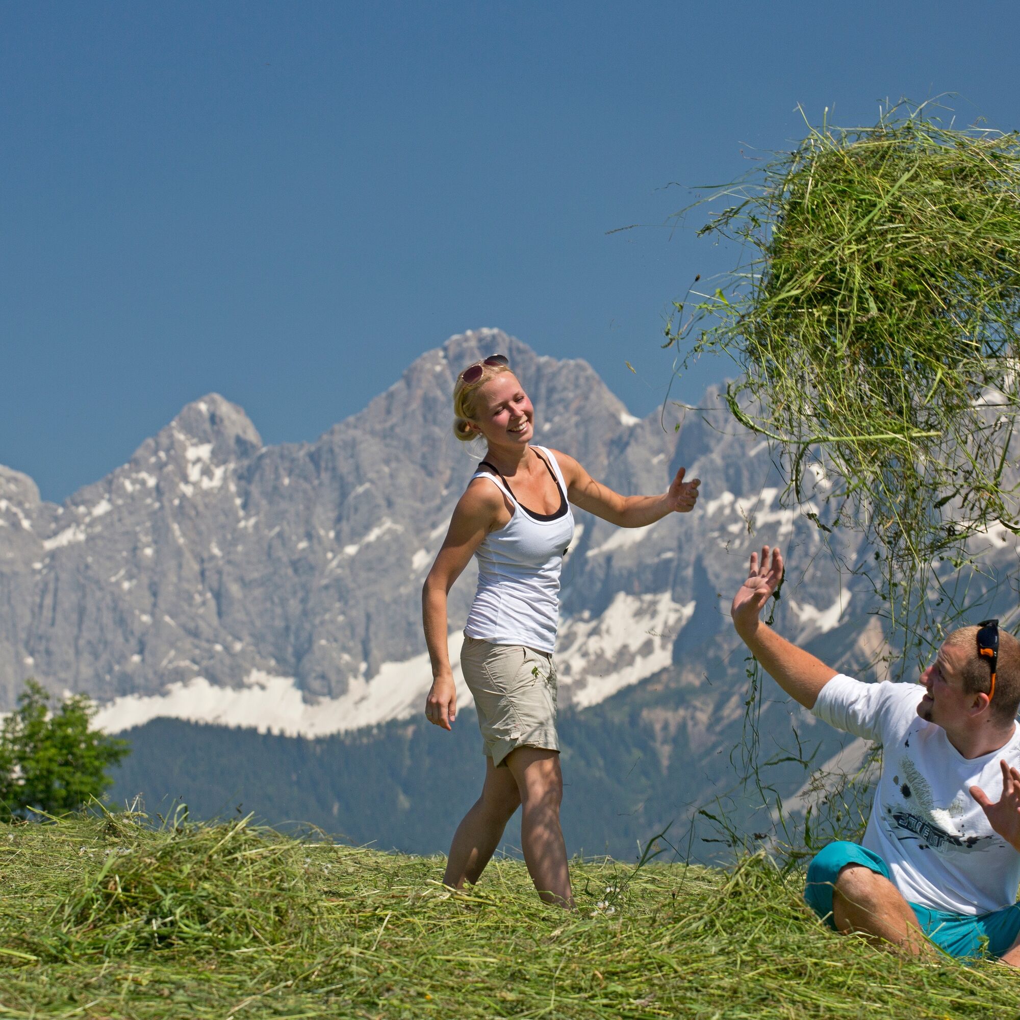
© Erlebnisregion Schladming-Dachstein - Georg Knaus

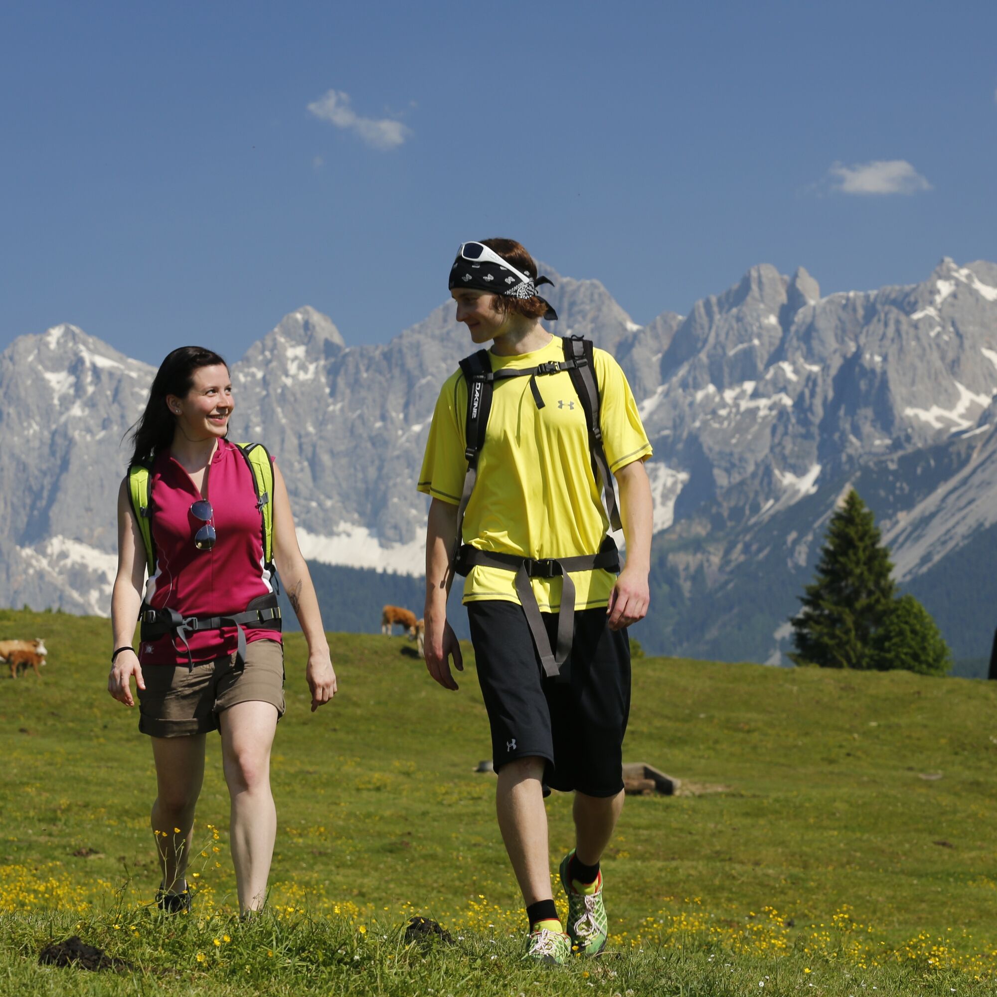
© Erlebnisregion Schladming-Dachstein - Georg Knaus

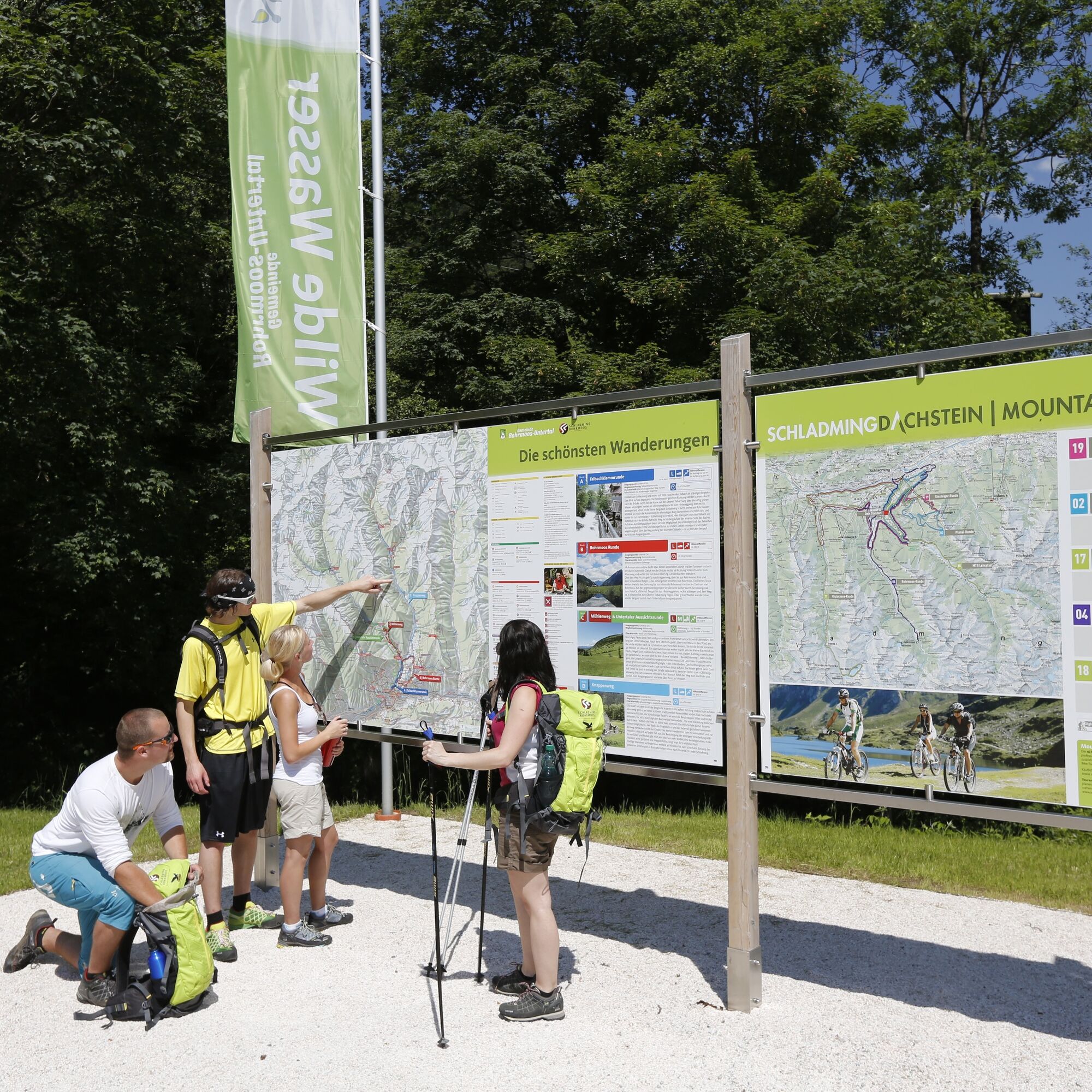
© Erlebnisregion Schladming-Dachstein - Georg Knaus

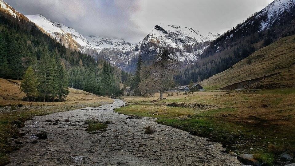
© Erlebnisregion Schladming-Dachstein - Georg Knaus

- Scurtă descriere
-
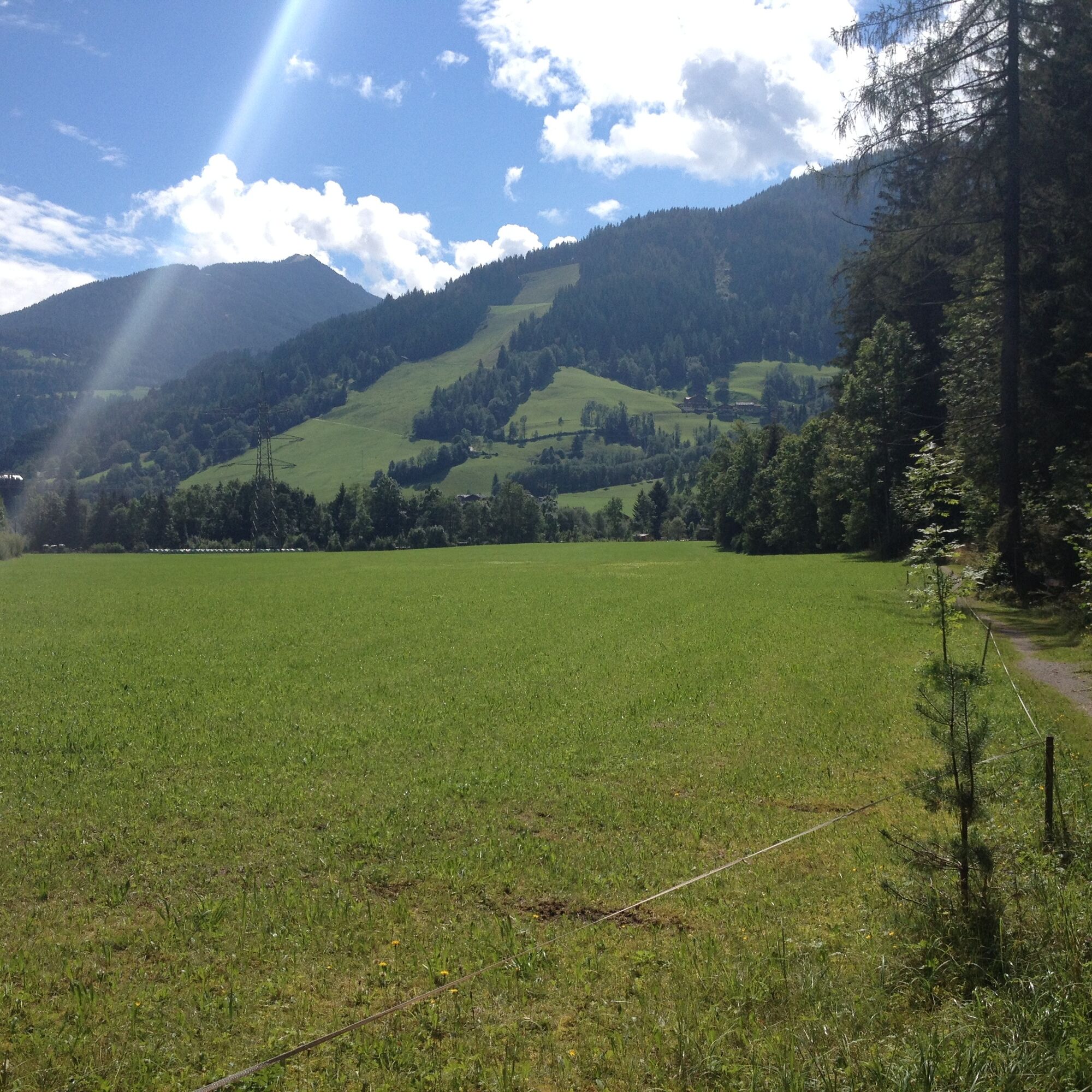
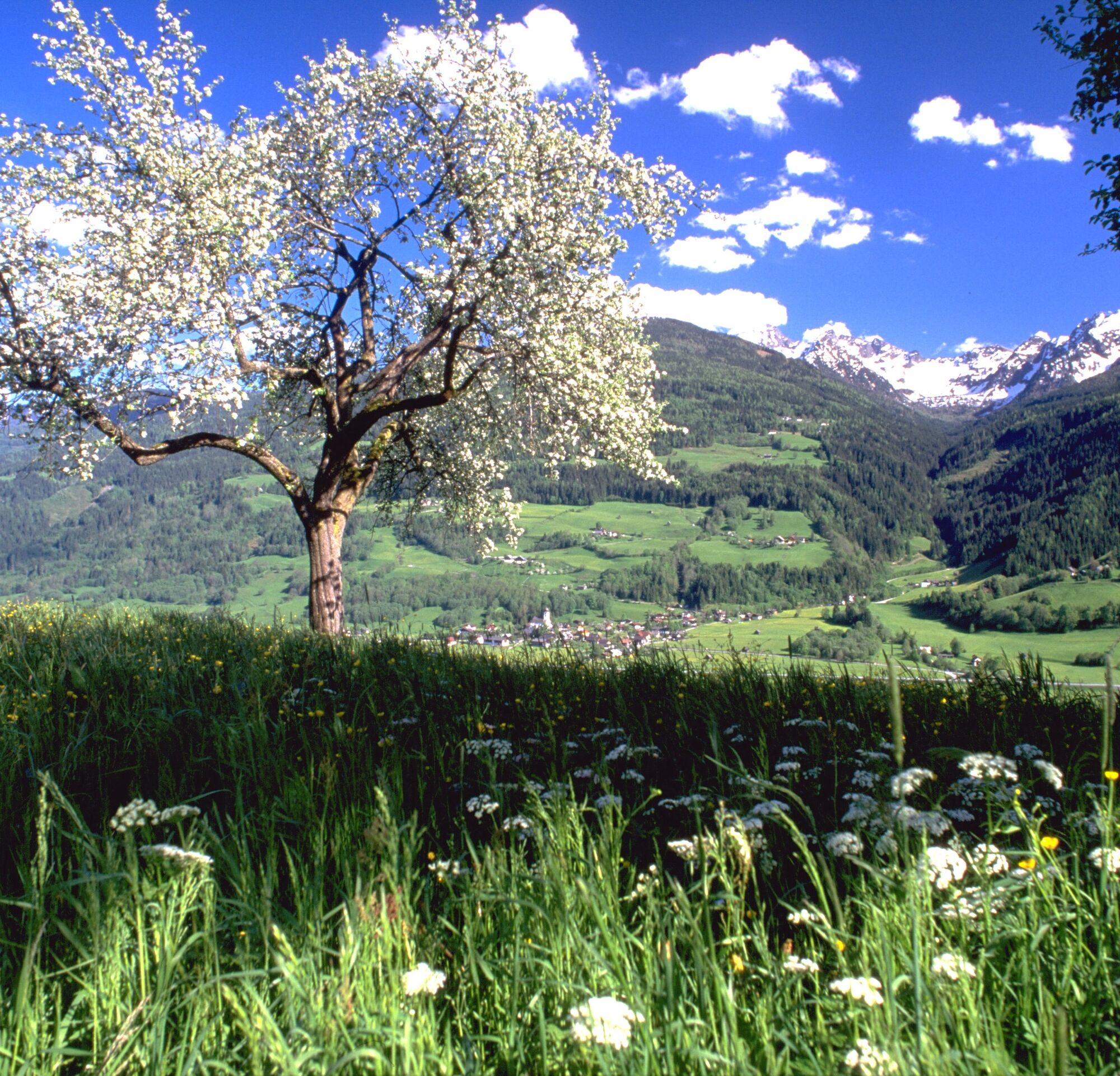
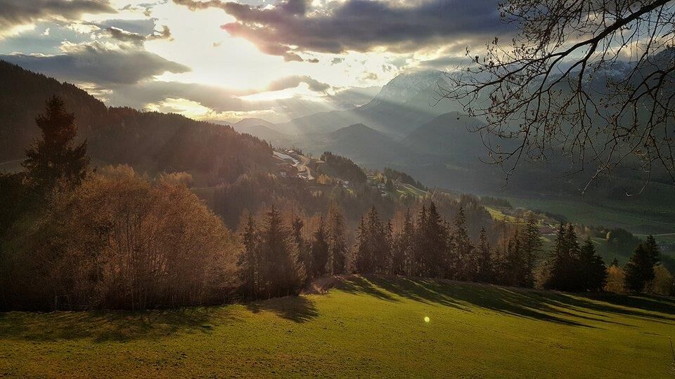
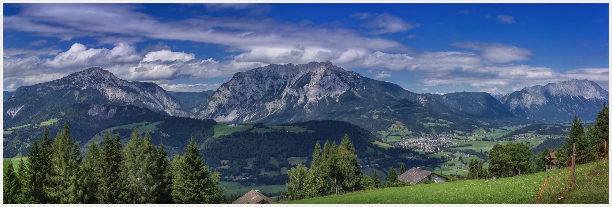
A hiking enjoyment pure is expecting you at the Panoramaweg 100. A loop hiking trail on the left or on the right-hand side of the Enns, with a length of 117 km and at an altitude from 700m to 1300m.
- Greutăţi
-
mediu
- Evaluare
-
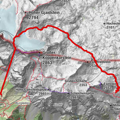
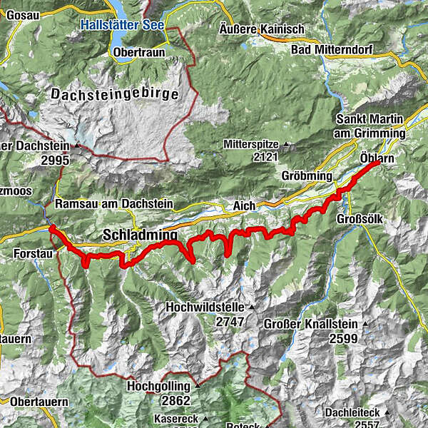
- Ruta
-
Öblarn0,0 kmPfarrkirche Öblarn0,1 kmEdling1,2 kmBach2,7 kmKath. Filialkirche Stein an der Enns5,5 kmRestaurant Hubertus5,6 kmStein an der Enns5,8 kmDörfl6,6 kmGelsenberg7,5 kmMichaelerberg12,9 kmGössenberg21,6 kmLandalm45,7 kmPreunegg54,7 kmRaunerhof55,3 kmHotel Brunner56,8 kmGleiming56,9 kmDas Geringer59,9 kmMandling59,9 km
- Cel mai bun sezon
-
ianfebmaraprmaiiuniulaugsepoctnovdec
- Cel mai înalt punct
- 1.295 m
- Destinație
-
Mandling, Gasthof Taferne
- Profil de elevație
-


-

-
AutorTurul Panorama Trail 100 - stages south of the River Enns este utilizat de outdooractive.com furnizat.
GPS Downloads


Informaţii generale
Oprire pentru băuturi răcoritoare
Cultural/Istoric
Promițător
Mai multe tururi în regiuni
-
Schladming - Dachstein
3001
-
Haus - Aich
1364
-
Haus im Ennstal
366