

- Scurtă descriere
-
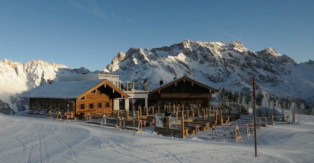
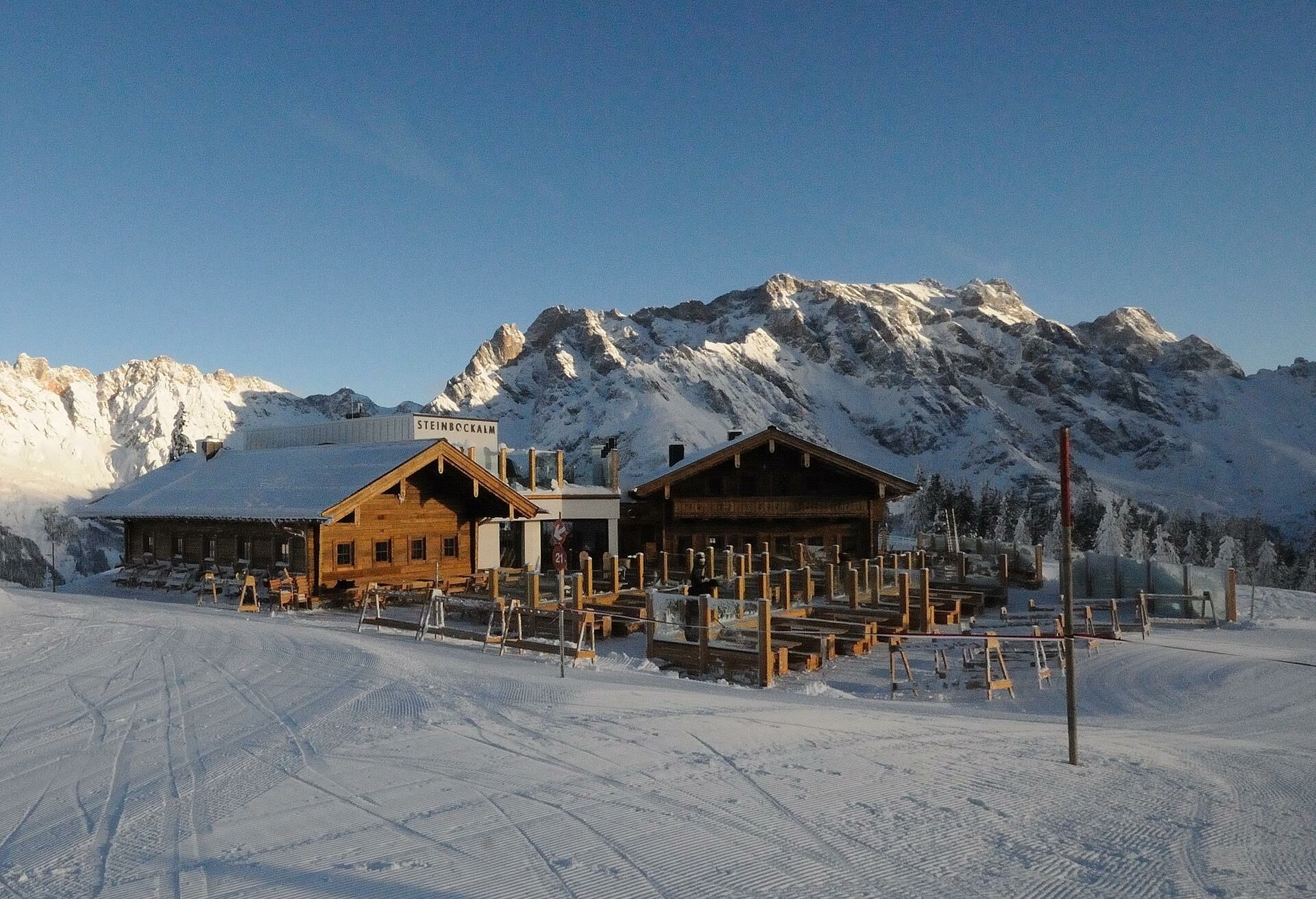
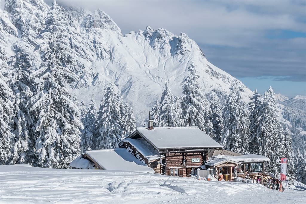
Fantastic winter hike to the Steinbockalm.
Enjoy the peace and quiet of nature and treat yourself to a culinary highlight at the Steinbockalm! - Greutăţi
-
mediu
- Evaluare
-
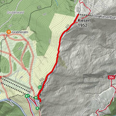
- Ruta
-
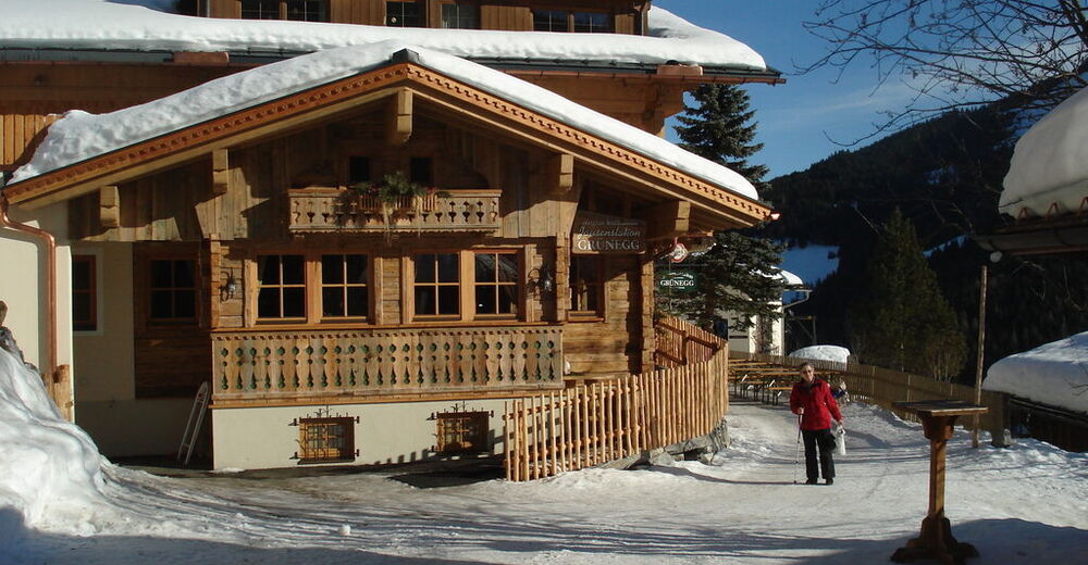
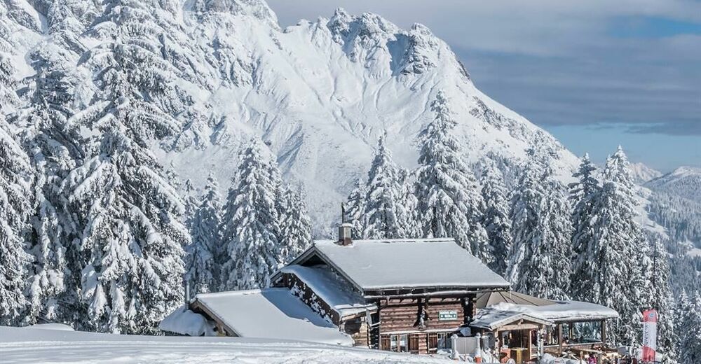
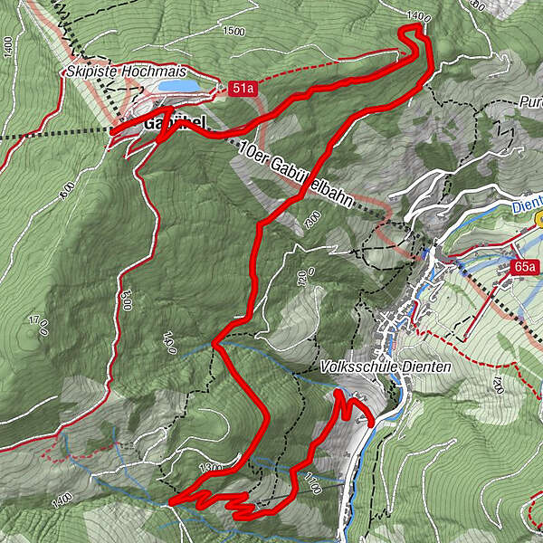
Dienten am Hochkönig0,1 kmGrünegg Alm1,3 kmSINALCObahn7,2 kmSteinbockalm7,2 kmGabühel (1.632 m)7,2 kmHochmais7,3 km
- Cel mai bun sezon
-
augsepoctnovdecianfebmaraprmaiiuniul
- Cel mai înalt punct
- 1.628 m
- Destinație
-
Gabühelhütte/ Steinbockalm
- Profil de elevație
-


- Autor
-
Turul Winter hiking from Dienten to the Steinbockalm este utilizat de outdooractive.com furnizat.
GPS Downloads


Informaţii generale
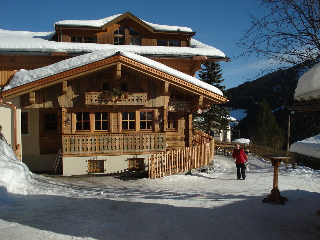
Oprire pentru băuturi răcoritoare
Promițător
Mai multe tururi în regiuni
-
Hochkönig
143
-
Dienten am Hochkönig
50