Informaţii pentru tur
3,3km
1.013
- 1.449m
446hm
03:30h
- Scurtă descriere
-
Ruhige Tour ohne besondere Anforderungen
- Greutăţi
-
uşor
- Evaluare
-
- Punct de pornire
-
Parkplatz an der Mautstelle
- Ruta
-
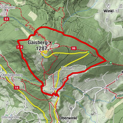
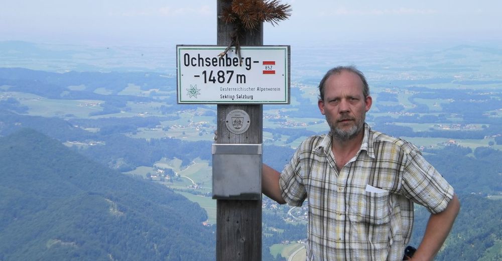
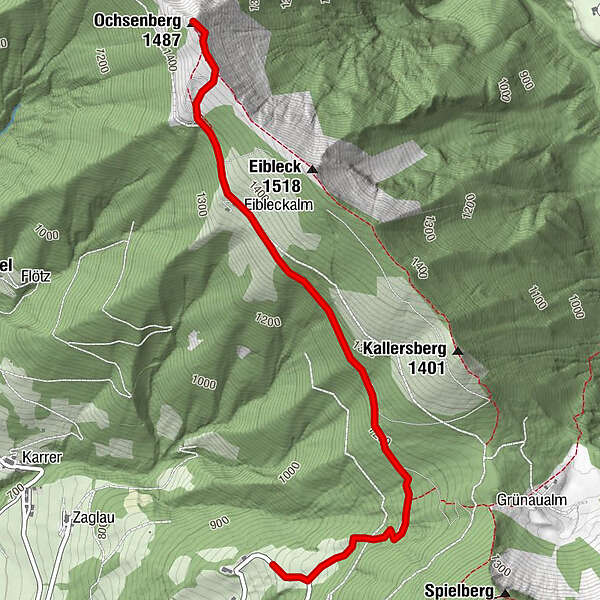
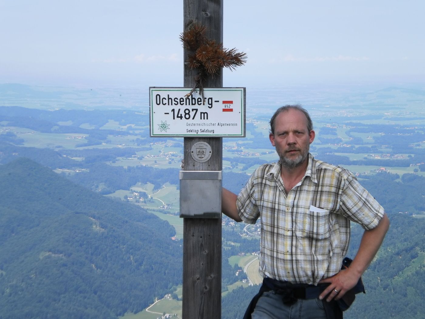
Ochsenberg (1.483 m)3,3 km
- Cel mai bun sezon
-
ianfebmaraprmaiiuniulaugsepoctnovdec
- Cel mai înalt punct
- 1.449 m
- Odihnă/Retragere
-
auf dieser Tour gibt es keine Einkehr Möglichkeit.
GPS Downloads


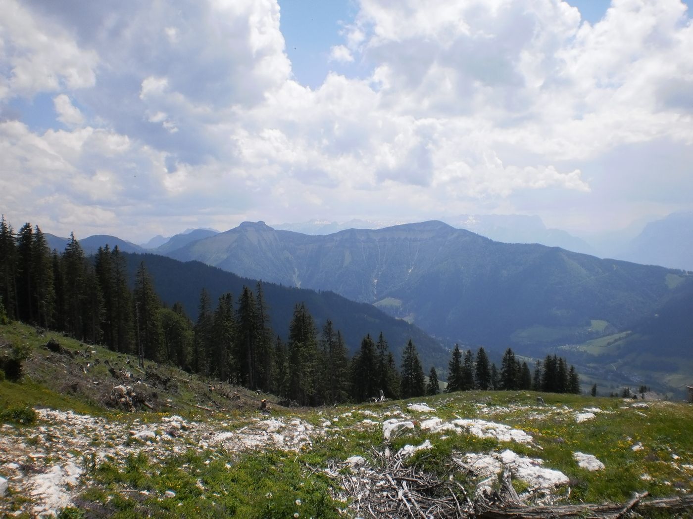
Condiții de traseu
Asfalt
Pietriş/prundiş/grohotiş
Livadă/pajişte
Pădure
Stâncă
Expus
Mai multe tururi în regiuni