


- Scurtă descriere
-
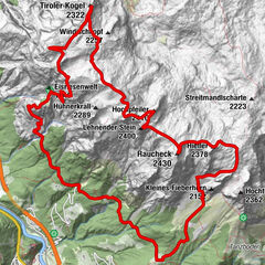
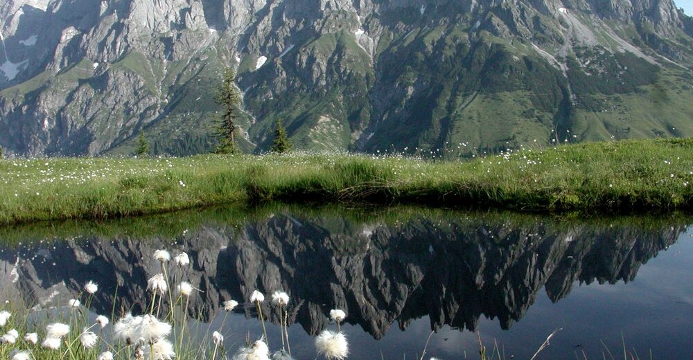
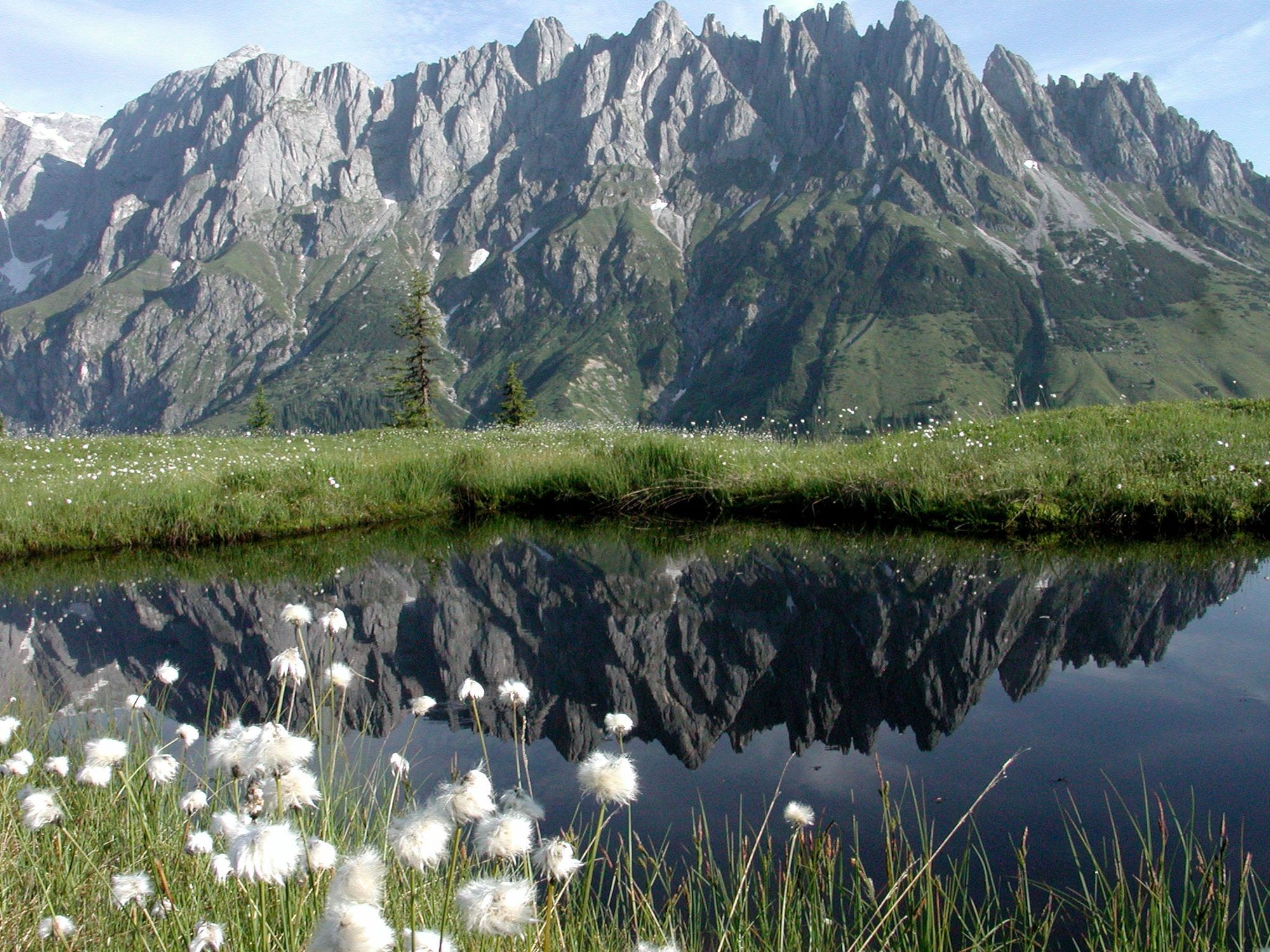
A moderate hike to one of the most beautiful places in Mühlbach am Hochkönig. Everyone will be enchanted by the panorama at the Hochkeil.
- Greutăţi
-
mediu
- Evaluare
-
- Ruta
-
Mühlbach am Hochkönig0,2 kmMitterbergsattel (1.515 m)12,6 kmSennerei Schweizerhütte13,1 kmArthurhaus13,1 km
- Cel mai bun sezon
-
ianfebmaraprmaiiuniulaugsepoctnovdec
- Cel mai înalt punct
- 1.519 m
- Destinație
-
Hochkeil Summit
- Profil de elevație
-


- Autor
-
Turul Via the Erzweg to the Hochkeil este utilizat de outdooractive.com furnizat.
GPS Downloads


Informaţii generale
Oprire pentru băuturi răcoritoare
Promițător
Mai multe tururi în regiuni