© Zell am See-Kaprun Tourismus GmbH - Birgit Arnold

© Zell am See-Kaprun Tourismus GmbH - Birgit Arnold

© Zell am See-Kaprun Tourismus GmbH - Birgit Arnold

© Zell am See-Kaprun Tourismus GmbH - Birgit Arnold

© Zell am See-Kaprun Tourismus GmbH - Birgit Arnold

- Scurtă descriere
-
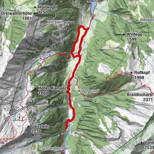
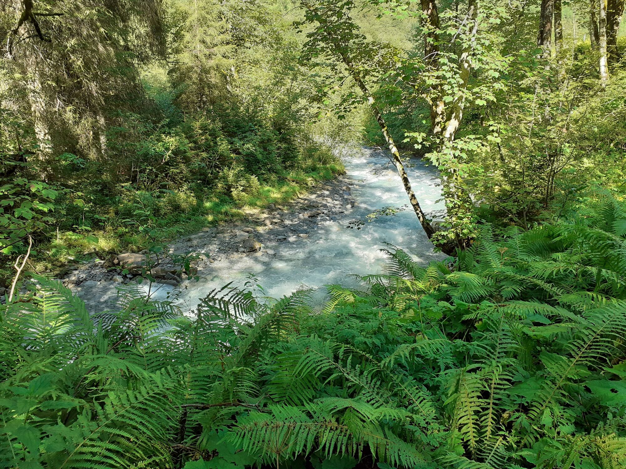
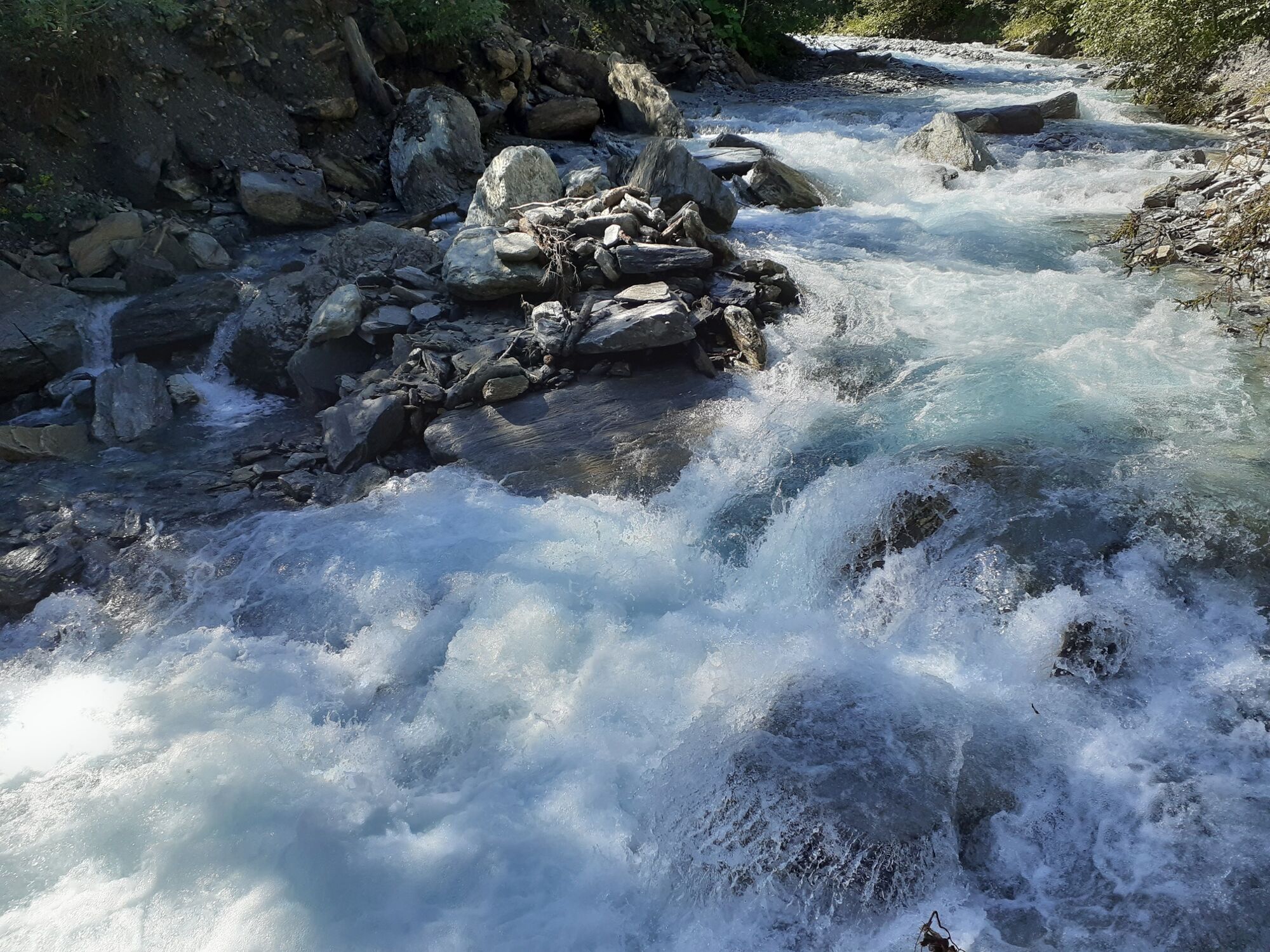
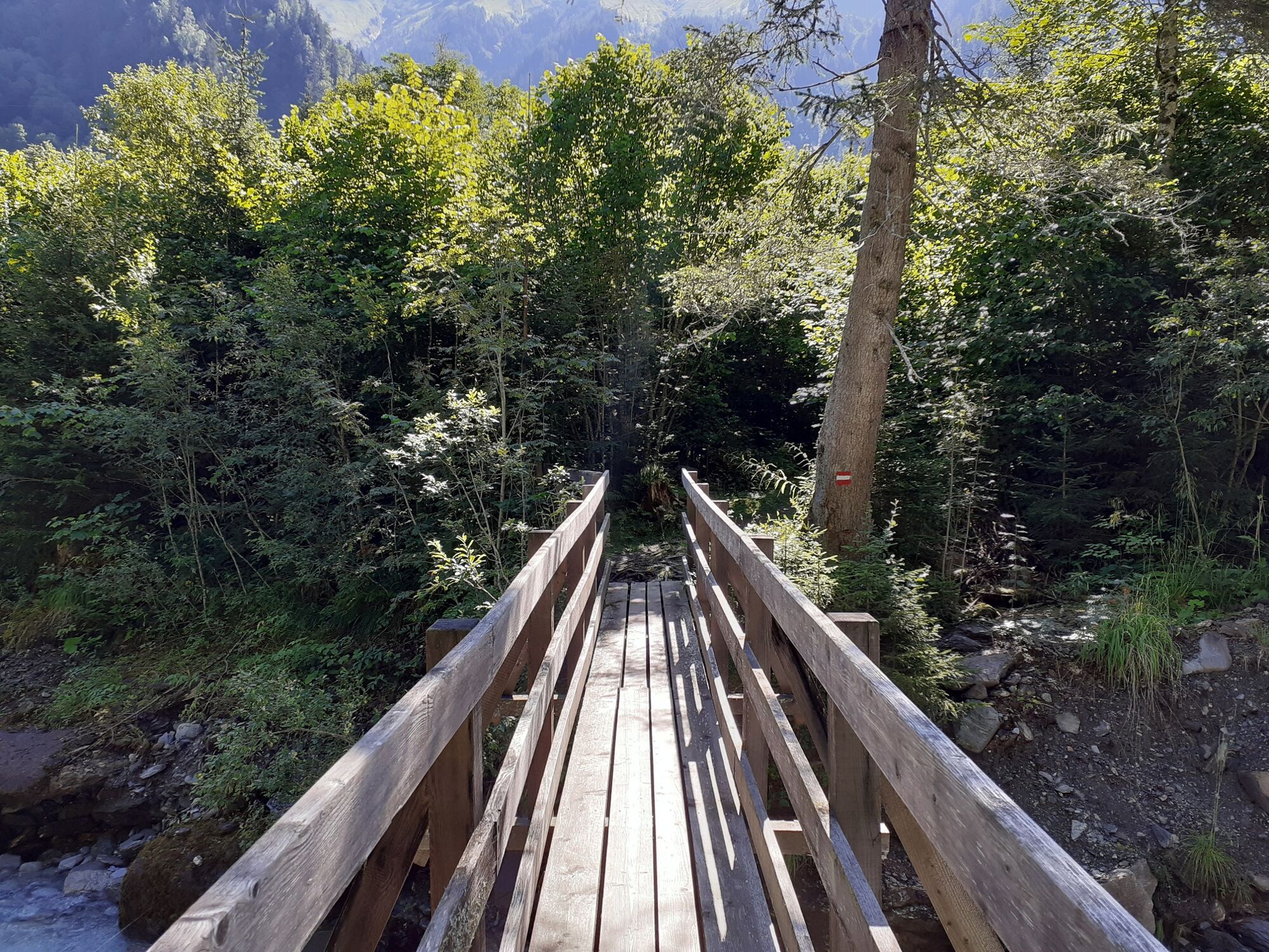
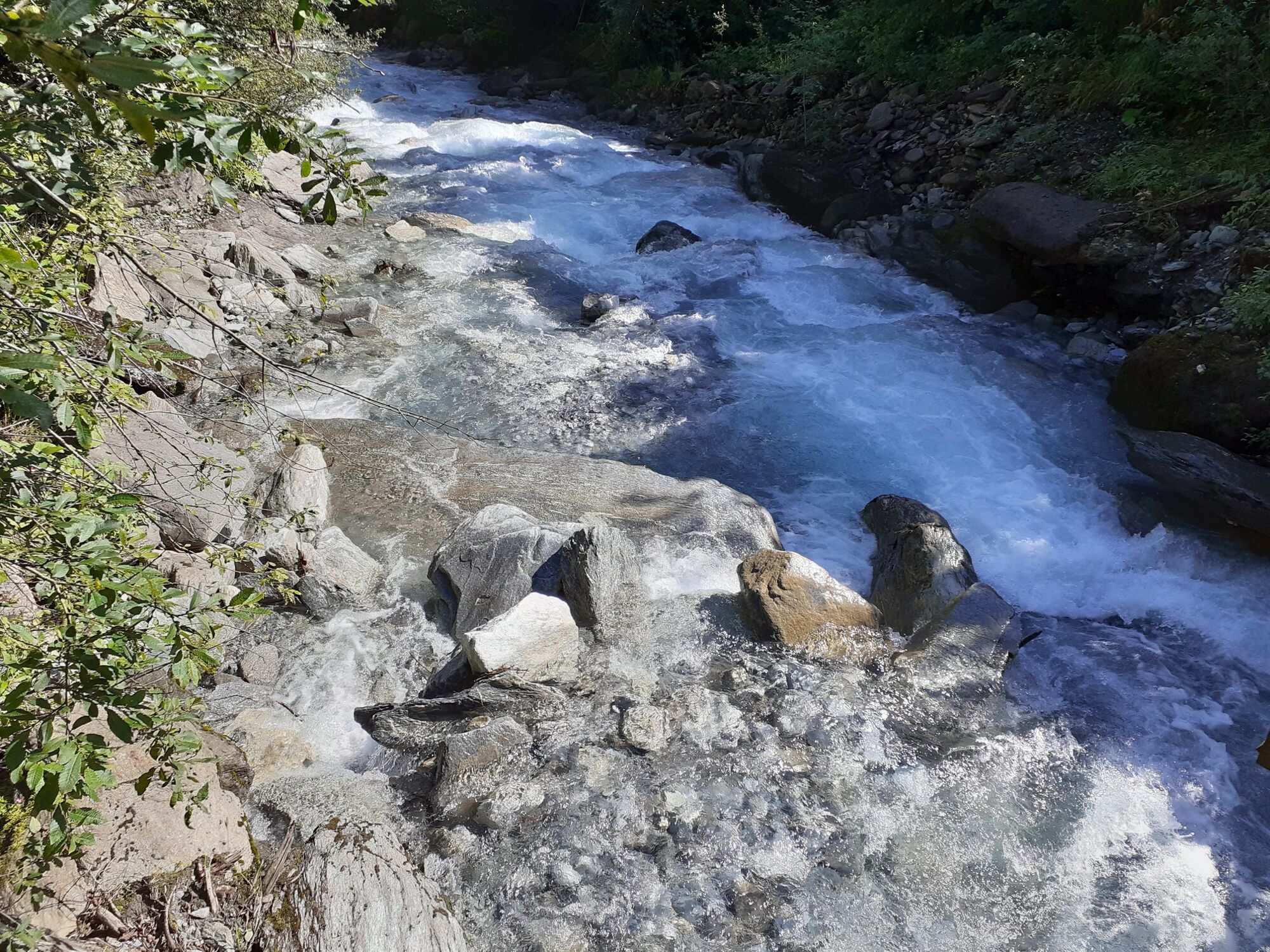
Beautiful valley end tour along the Kapruner Ache with a waterfall view (Kesselfall) at the end.
- Greutăţi
-
uşor
- Evaluare
-
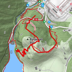
- Ruta
-
kitz900m4,8 kmGletscherjet I (911 m)4,8 km
- Cel mai bun sezon
-
ianfebmaraprmaiiuniulaugsepoctnovdec
- Cel mai înalt punct
- 1.032 m
- Destinație
-
Kesselfall. Alternatively, return using bus no. 660
- Profil de elevație
-

-

-
AutorTurul Wüstlauweg to Alpenhaus Kesselfall este utilizat de outdooractive.com furnizat.
GPS Downloads


Informaţii generale
Oprire pentru băuturi răcoritoare
Mai multe tururi în regiuni